Broadley Wood
Wood, Forest in Banffshire
Scotland
Broadley Wood
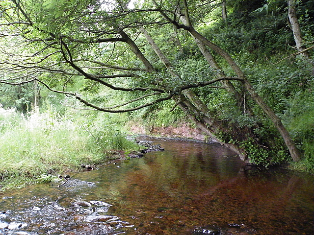
Broadley Wood is a stunning forest located in Banffshire, Scotland. Spanning over a vast area, it is known for its breathtaking natural beauty and diverse wildlife. The wood is situated in a remote and peaceful setting, providing visitors with a serene and tranquil experience.
The forest is primarily composed of ancient Caledonian pine trees, which are native to the area and add to the wood's unique charm. These majestic trees, some of which are centuries old, create a dense canopy that provides shade and shelter for various species of flora and fauna.
The woodland floor is adorned with a rich carpet of mosses, ferns, and wildflowers, adding vibrant colors to the landscape. Broadley Wood also houses a wide range of wildlife, including red deer, roe deer, and numerous species of birds such as woodpeckers and owls. It is an ideal spot for birdwatchers and nature enthusiasts.
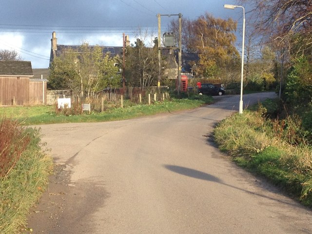
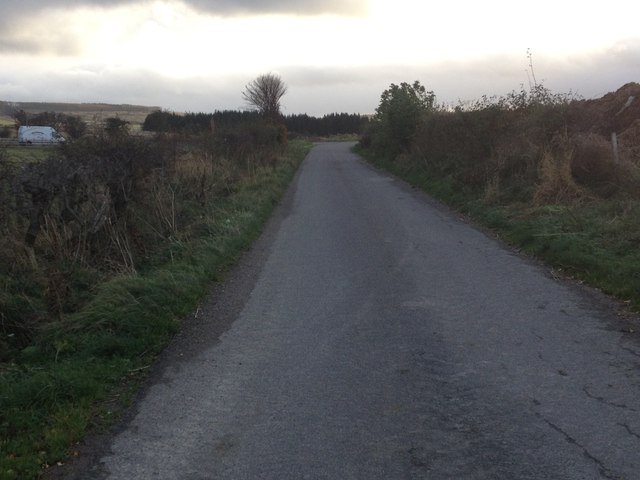
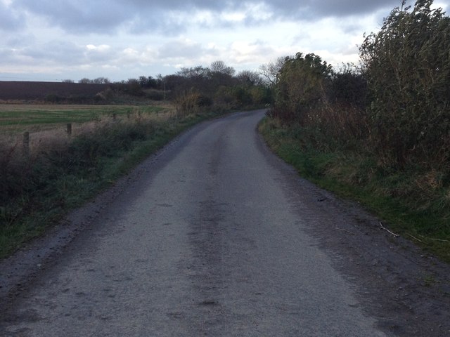
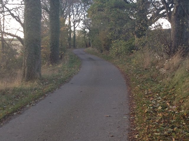
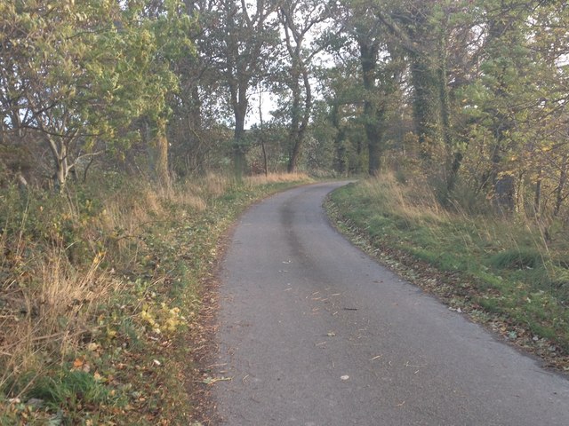
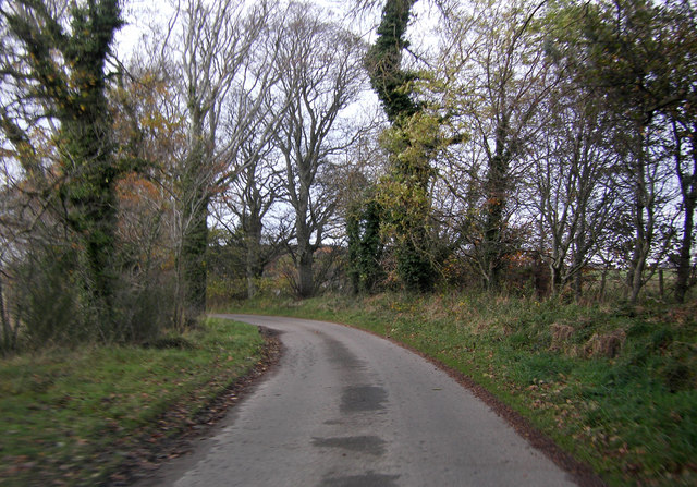
The forest offers a network of well-maintained trails, allowing visitors to explore the wood at their own pace. These paths wind through the trees, offering glimpses of picturesque streams and small waterfalls along the way. The forest also boasts a picnic area, providing visitors with a perfect spot to relax and enjoy a meal amidst the beauty of nature.
Broadley Wood is a haven for those seeking solitude and a connection with nature. Its untouched and pristine beauty makes it a popular destination for hikers, photographers, and anyone looking to escape the hustle and bustle of everyday life.
If you have any feedback on the listing, please let us know in the comments section below.
Broadley Wood Images
Images are sourced within 2km of 57.642318/-3.0217813 or Grid Reference NJ3961. Thanks to Geograph Open Source API. All images are credited.


Broadley Wood is located at Grid Ref: NJ3961 (Lat: 57.642318, Lng: -3.0217813)
Unitary Authority: Moray
Police Authority: North East
What 3 Words
///catchers.propelled.untrained. Near Buckie, Moray
Nearby Locations
Related Wikis

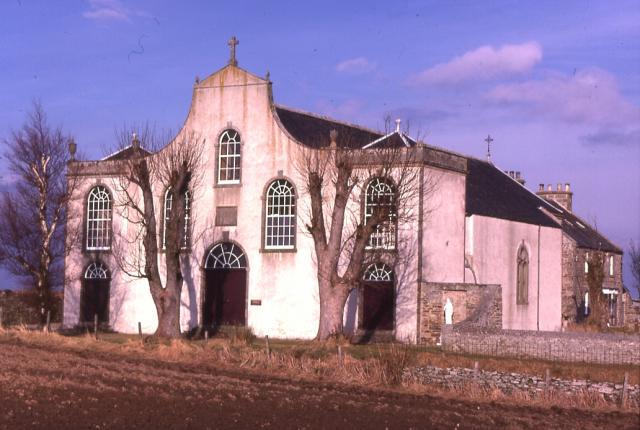
St Ninian's Church, Tynet
St Ninian's Church, Tynet is a historic Roman Catholic clandestine church located at Tynet about 4 miles to the west of Buckie, Scotland in the Enzie region...
St Gregory's Church, Preshome
St. Gregory's Church is a Roman Catholic church at Preshome near Buckie in north-east Scotland. It is protected as a category A listed building.Built...

Enzie railway station
Enzie railway station was a station which served the hamlet of Enzie, in the Scottish county of Moray. It was served by trains on the Buckie and Portessie...

Lower Auchenreath
Lower Auchenreath is a tiny rural settlement situated in the North East Coast of Scotland. It is home to a mixed arable/animal farm and is only a mile...
Nearby Amenities
Located within 500m of 57.642318,-3.0217813Have you been to Broadley Wood?
Leave your review of Broadley Wood below (or comments, questions and feedback).