Logie Woods
Wood, Forest in Angus
Scotland
Logie Woods

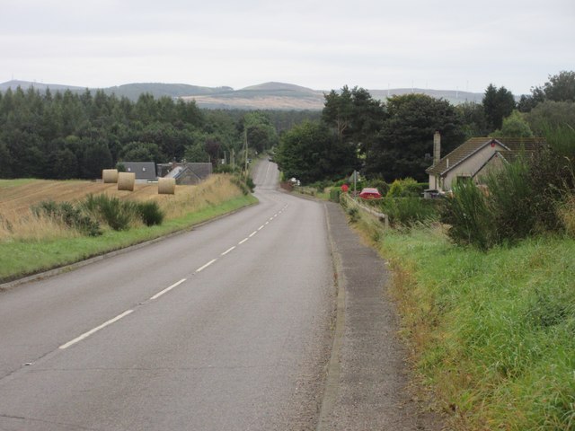
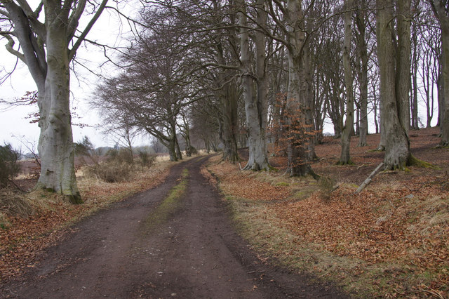
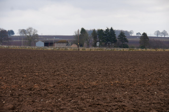
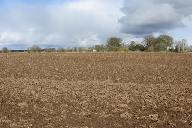
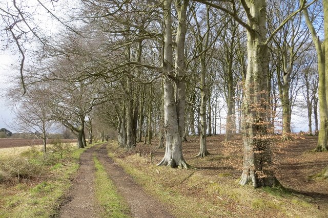
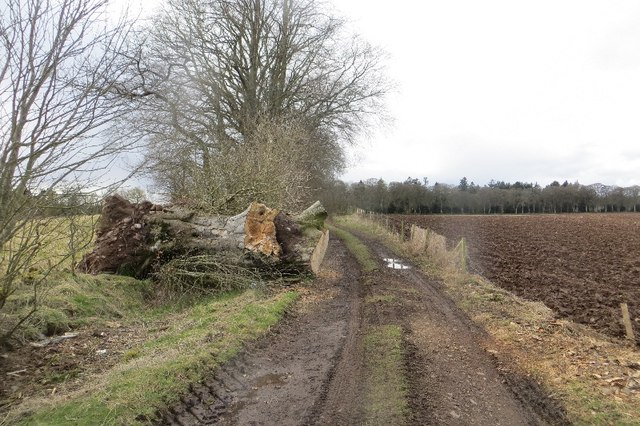
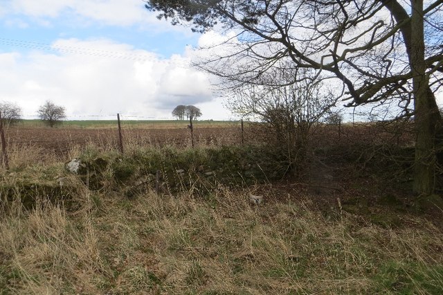
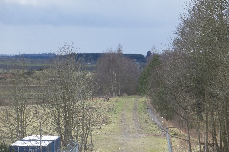
Logie Woods, located in Angus, Scotland, is a captivating woodland area covering an area of approximately 267 hectares. Nestled amidst the stunning landscape of the Angus Glens, the woods are renowned for their natural beauty and rich biodiversity. The forest is primarily composed of mixed broadleaf and coniferous trees, including oak, beech, birch, and Scots pine.
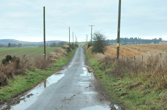
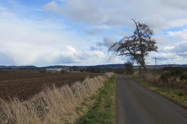
The woodland boasts a network of well-maintained trails, making it a popular destination for walkers, hikers, and nature enthusiasts. The paths meander through the forest, offering visitors the opportunity to explore and immerse themselves in the tranquil surroundings. Along the way, one can often spot an array of wildlife, including red squirrels, roe deer, and a variety of bird species.
In addition to its natural charm, Logie Woods also holds historical significance. The remains of ancient forts and settlements from the Iron Age and Medieval periods can be found within the forest, providing a glimpse into the area's rich past.
The woods are managed by local forestry authorities, who work diligently to preserve and enhance the natural habitat. Conservation efforts include the removal of non-native species and the promotion of native flora and fauna.
Visitors to Logie Woods can enjoy a range of activities, from picnicking and photography to birdwatching and woodland exploration. The peaceful atmosphere, coupled with the breathtaking scenery, makes Logie Woods a haven for those seeking solace in nature.
If you have any feedback on the listing, please let us know in the comments section below.
Logie Woods Images
Images are sourced within 2km of 56.647845/-2.9947594 or Grid Reference NO3951. Thanks to Geograph Open Source API. All images are credited.


Logie Woods is located at Grid Ref: NO3951 (Lat: 56.647845, Lng: -2.9947594)
Unitary Authority: Angus
Police Authority: Tayside
What 3 Words
///disengage.revisits.baseline. Near Kirriemuir, Angus
Nearby Locations
Related Wikis

St Orland's Stone
St Orland's Stone (otherwise known as the Cossans stone or the Cossins stone) is a Class II Pictish Cross-Slab at Cossans, near Kirriemuir and Forfar,...
Kirriemuir
Kirriemuir (; Scots pronunciation: [ˌkɪreˈmeːr]; Scottish Gaelic: Ceathramh Mhoire [ˌkʲʰɛɾə ˈvɔɾʲə]), sometimes called Kirrie or the Wee Red Toon, is a...

Kirriemuir Junction railway station
Kirriemuir Junction railway station served the burgh of Kirriemuir, Angus, Scotland from 1855 to 1864 on the Scottish Midland Junction Railway. == History... ==
Webster's High School
Webster's High School is a secondary school in Kirriemuir, Angus, Scotland. The school has run for over 150 years, and there are over 650 pupils in the...
Glamis railway station
Glamis railway station served the village of Glamis, Angus, Scotland, from 1838 to 1956 on the Newtyle, Eassie and Glamiss Railway. == History == The station...
Kirriemuir Thistle F.C.
Kirriemuir Thistle Football Club are a Scottish junior football club based in Kirriemuir, Angus. Their home ground is Westview Park. Up until the end of...
Scotland's Countryside Festival
Scotland's Countryside Festival is an annual two-day event which takes place at Glamis Castle, by Forfar.The festival originally came about in the wake...

Kirriemuir Town House
Kirriemuir Town House is a municipal structure in the High Street in Kirriemuir, Angus, Scotland. The structure, which is used as a museum, is a Category...
Have you been to Logie Woods?
Leave your review of Logie Woods below (or comments, questions and feedback).