West Wood
Wood, Forest in Midlothian
Scotland
West Wood
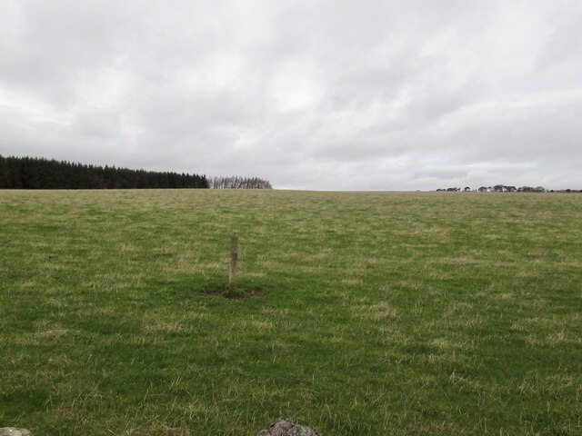
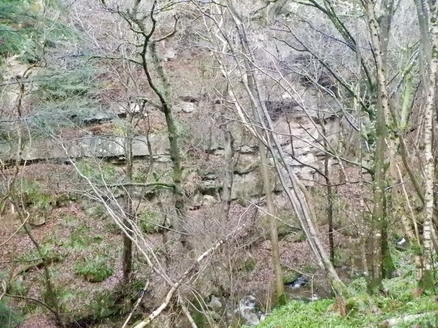
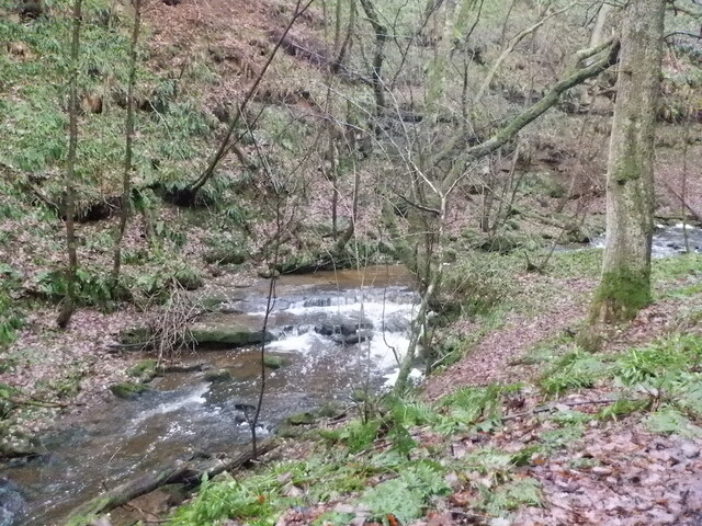
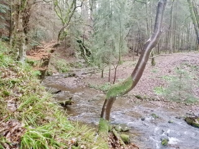
West Wood is a scenic forest located in Midlothian, Scotland. Covering an extensive area of land, the wood offers a tranquil retreat for nature lovers and outdoor enthusiasts. The forest is part of the larger Pentland Hills Regional Park, which encompasses a diverse range of landscapes and habitats.
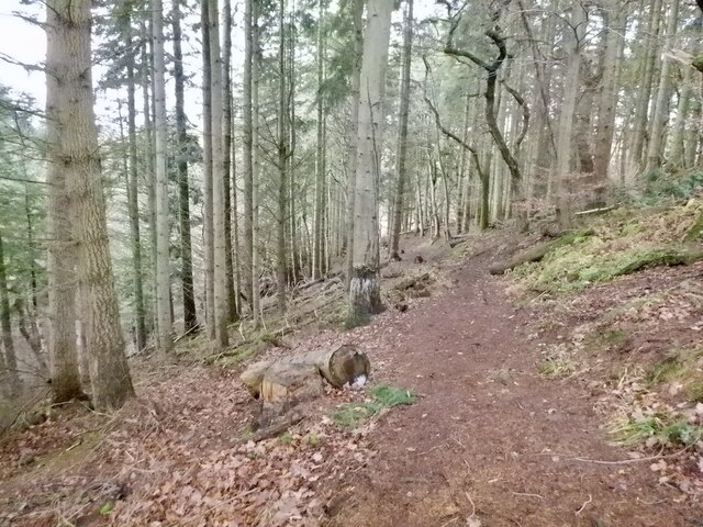
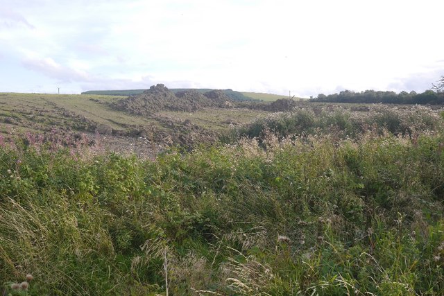
West Wood is predominantly made up of a mixture of deciduous and coniferous trees, including oak, birch, and Scots pine. These trees provide a rich habitat for a variety of wildlife, such as red squirrels, roe deer, and a wide range of bird species. The forest is a popular spot for birdwatching, with regular sightings of species like great spotted woodpeckers, goldcrests, and crossbills.
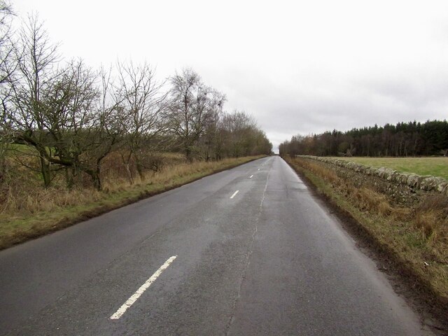
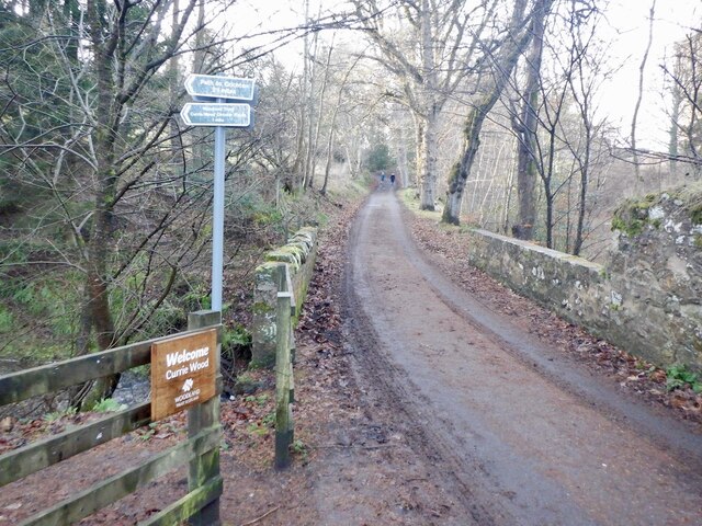
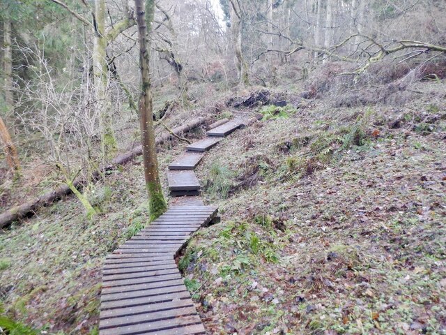
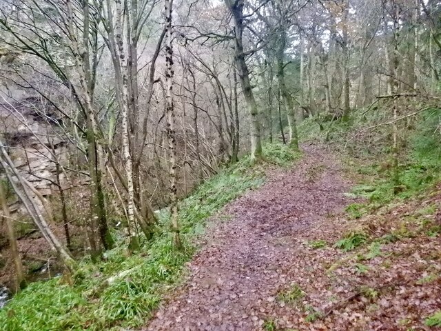
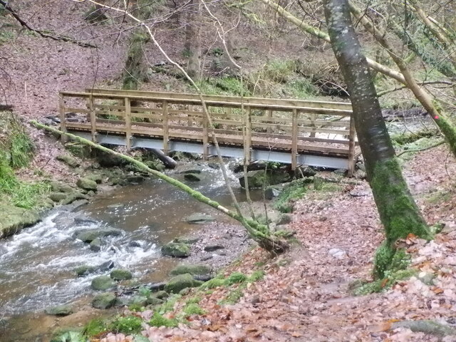
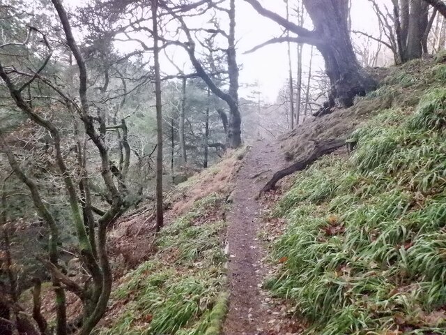
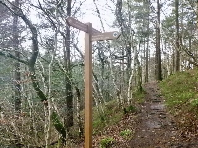
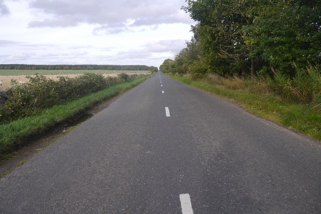
The wood is crisscrossed by a network of well-maintained walking trails, allowing visitors to explore the area at their own pace. These trails cater to all levels of fitness and offer stunning views of the surrounding countryside. There are also designated areas for picnics and barbecues, providing visitors with the opportunity to relax and enjoy the peaceful surroundings.
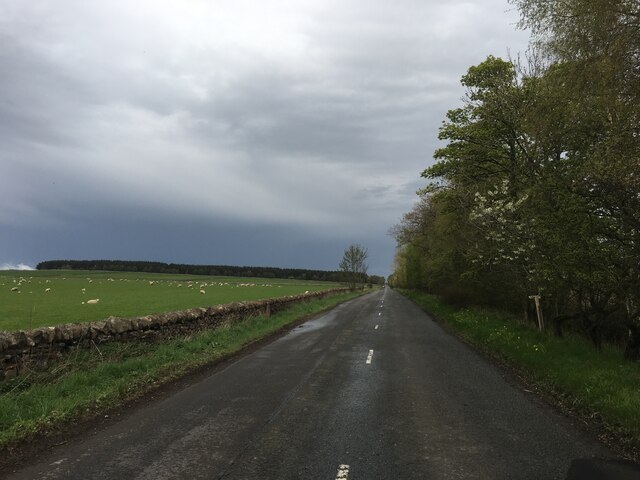
West Wood is easily accessible, located just a short drive from the city of Edinburgh. Its proximity to urban areas makes it a popular destination for locals and tourists alike who are seeking a quick escape from the hustle and bustle of city life.
Overall, West Wood is a picturesque forest that offers a wealth of natural beauty and recreational opportunities. Whether it's a leisurely stroll, birdwatching, or simply immersing oneself in nature, this woodland retreat has something for everyone.
If you have any feedback on the listing, please let us know in the comments section below.
West Wood Images
Images are sourced within 2km of 55.830978/-2.9747755 or Grid Reference NT3960. Thanks to Geograph Open Source API. All images are credited.
West Wood is located at Grid Ref: NT3960 (Lat: 55.830978, Lng: -2.9747755)
Unitary Authority: Midlothian
Police Authority: The Lothians and Scottish Borders
What 3 Words
///fire.pheasants.disband. Near Gorebridge, Midlothian
Nearby Locations
Related Wikis

Tynehead railway station
Tynehead railway station served the village of Pathhead, Midlothian, Scotland from 1848 to 1969 on the Waverley Line. == History == The station opened...
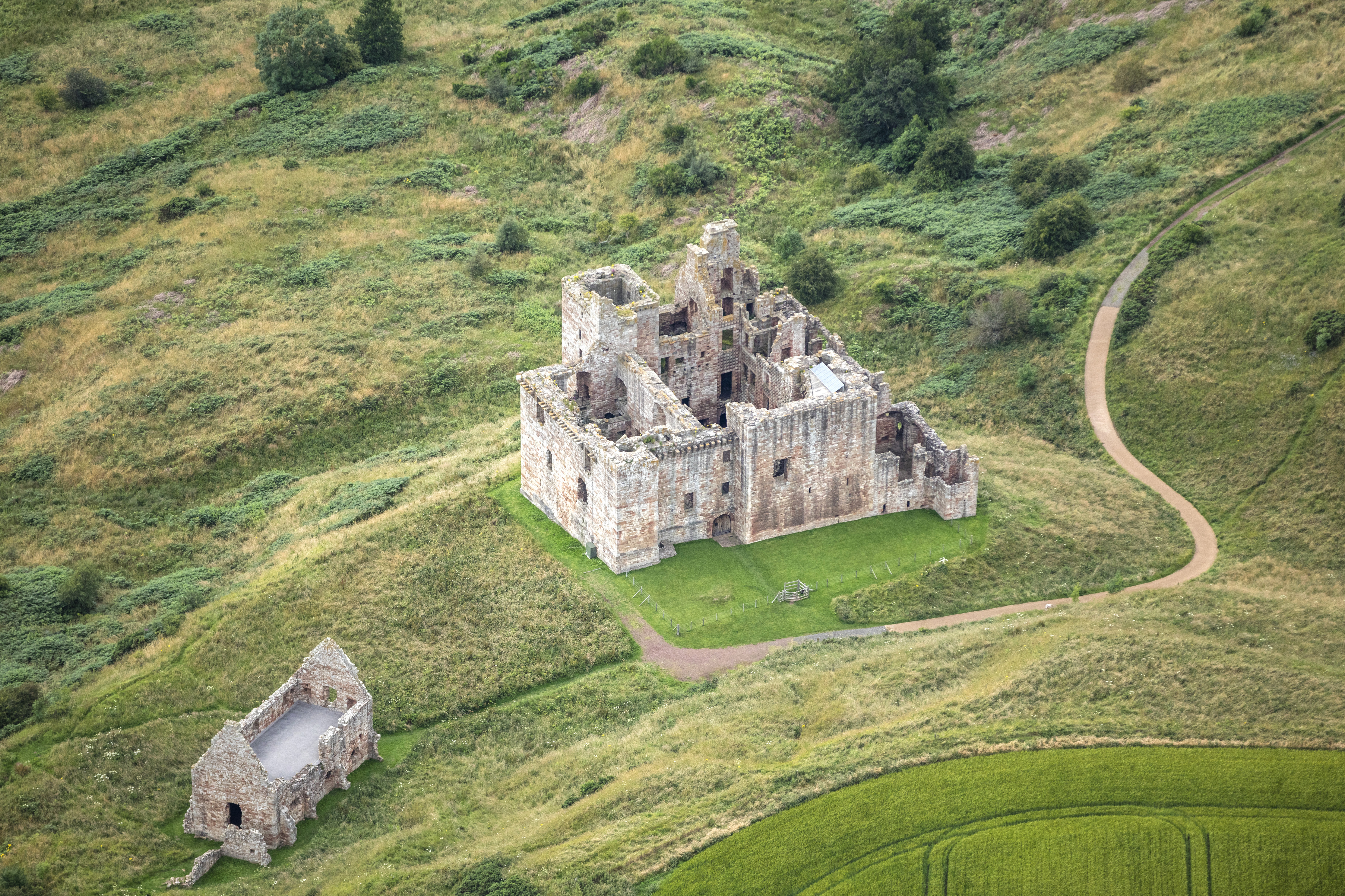
Crichton Castle
Crichton Castle is a ruined castle near the village of Crichton in Midlothian, Scotland. It is situated at the head of the River Tyne, 2 miles (3.2 km...

Crichton Collegiate Church
Crichton Collegiate Church is situated about 0.6 miles (0.97 km) south-west of the hamlet of Crichton in Midlothian, Scotland. == Origins and Pre-Reformation... ==

Crichton, Midlothian
Crichton is a small village and civil parish in Midlothian, Scotland, around 2 miles (3 km) south of Pathhead and the same distance east of Gorebridge...

Borthwick Castle
Borthwick Castle is one of the largest and best-preserved surviving medieval Scottish fortifications. It is located twelve miles (19 km) south-east of...

Borthwick
Borthwick is a hamlet, parish and stream in Midlothian, Scotland. The parish includes the 15th century Borthwick Castle, which is to the east of the village...

Cakemuir Castle
Cakemuir Castle is an historic house situated 4 miles (6.4 km) southeast of Pathhead, in the Lammermuir Hills, Midlothian, Scotland. The name may be connected...

Vogrie House
Vogrie House forms the centrepiece of Vogrie Country Park in Midlothian. It was built for James Dewar and his family in 1876 by Andrew Heiton, the town...
Related Videos


Inside Scotland's most luxurious castle | Borthwick Castle
Roger, The Castle Man, takes a stroll around Borthwick Castle and talks us through one of the many legends surrounding this ...

Borthwick Castle: History & Hitchhiking 🏰🚗😄 #ScottishBorders #castle #adventure #scotland
Support publishing of my book here: https://igg.me/at/edinburgh/ "Hey there, fellow adventurers! I can't wait to share today's ...

Todd Various at Borthwick Castle
Just me walking around Borthwick Castle grounds.
Nearby Amenities
Located within 500m of 55.830978,-2.9747755Have you been to West Wood?
Leave your review of West Wood below (or comments, questions and feedback).