Cuffurach
Settlement in Banffshire
Scotland
Cuffurach
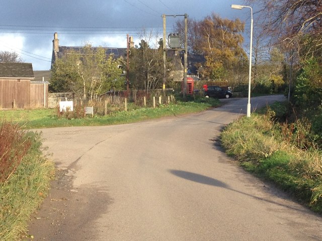
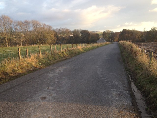
Cuffurach is a small village located in the picturesque region of Banffshire, Scotland. Situated amidst the stunning natural landscapes and rolling hills, the village offers a tranquil and peaceful atmosphere that attracts locals and tourists alike.
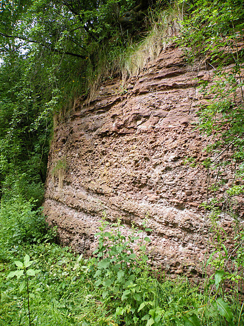
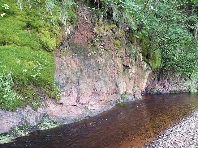
The village is known for its rich history, dating back several centuries. Its name is derived from the Gaelic language, meaning "rocky place," which is a fitting description of the village's surroundings. The architecture in Cuffurach reflects its historical roots, with charming stone cottages and buildings that give the village a rustic and traditional feel.
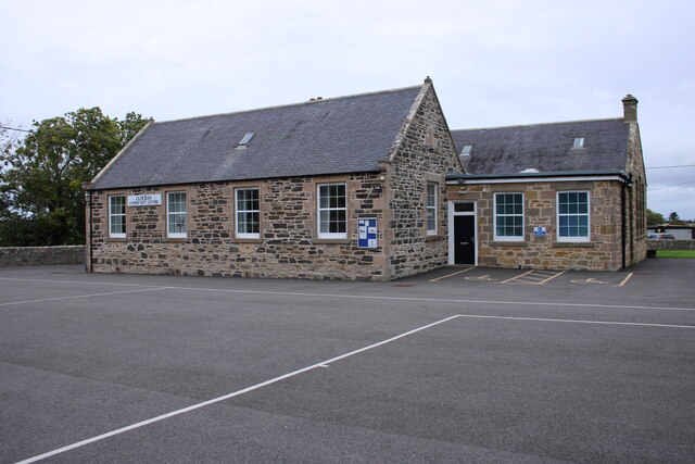
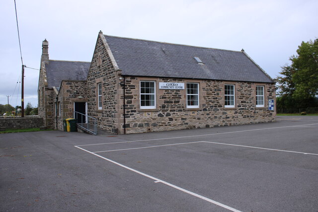
Despite its small size, Cuffurach has a strong sense of community and offers a range of amenities to its residents. The village is home to a local pub, where locals gather to socialize and enjoy traditional Scottish cuisine and drinks. There is also a village hall that hosts various community events throughout the year.
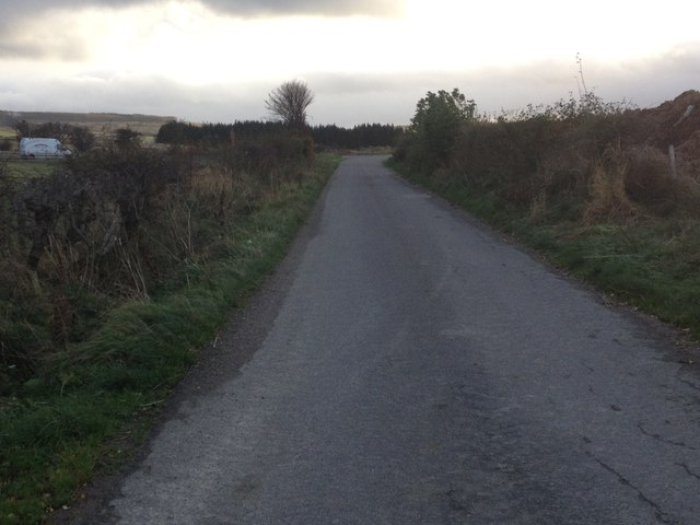
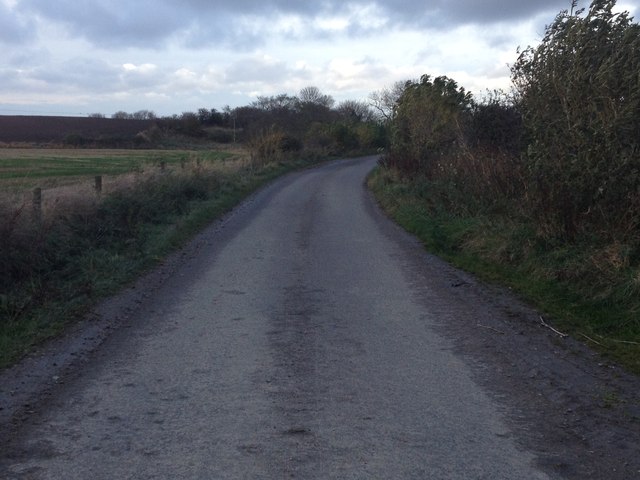
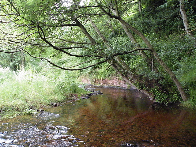
Nature lovers will find plenty to explore in the surrounding area. Cuffurach is located near the Banffshire coast, offering breathtaking views of the North Sea and opportunities for coastal walks. The nearby hills provide ample opportunities for hiking and enjoying the stunning vistas of the Scottish countryside.
Overall, Cuffurach is a charming and idyllic village that offers a peaceful retreat for those looking to escape the hustle and bustle of city life. Its rich history, natural beauty, and strong sense of community make it a hidden gem in the Banffshire region.
If you have any feedback on the listing, please let us know in the comments section below.
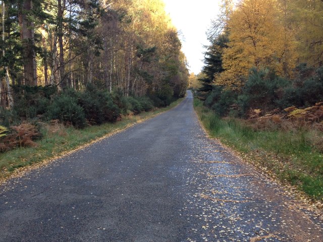
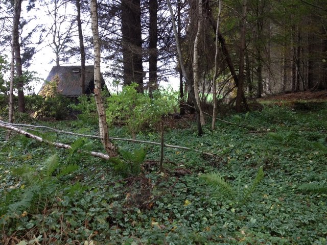
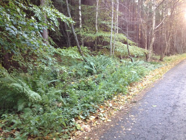
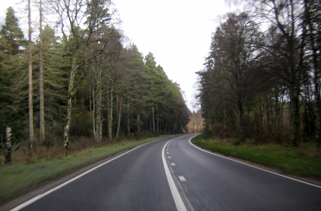
Cuffurach Images
Images are sourced within 2km of 57.634796/-3.0232616 or Grid Reference NJ3961. Thanks to Geograph Open Source API. All images are credited.


Cuffurach is located at Grid Ref: NJ3961 (Lat: 57.634796, Lng: -3.0232616)
Unitary Authority: Moray
Police Authority: North East
What 3 Words
///finer.look.identify. Near Fochabers, Moray
Nearby Locations
Related Wikis

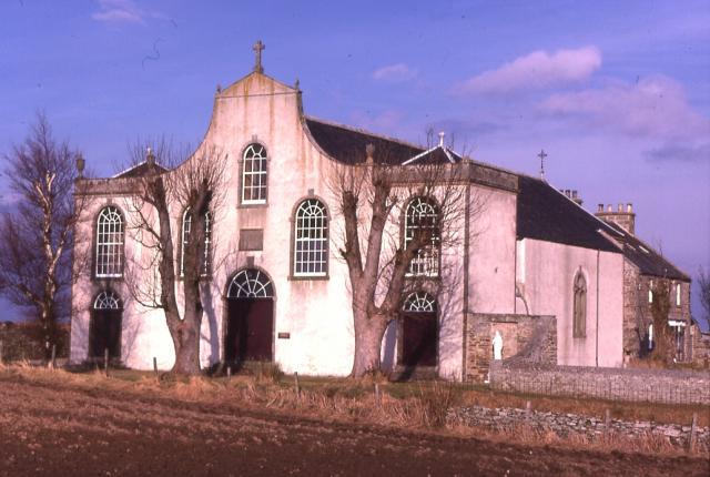
St Ninian's Church, Tynet
St Ninian's Church, Tynet is a historic Roman Catholic clandestine church located at Tynet about 4 miles to the west of Buckie, Scotland in the Enzie region...
St Gregory's Church, Preshome
St. Gregory's Church is a Roman Catholic church at Preshome near Buckie in north-east Scotland. It is protected as a category A listed building.Built...

Enzie railway station
Enzie railway station was a station which served the hamlet of Enzie, in the Scottish county of Moray. It was served by trains on the Buckie and Portessie...

Lower Auchenreath
Lower Auchenreath is a tiny rural settlement situated in the North East Coast of Scotland. It is home to a mixed arable/animal farm and is only a mile...

Portgordon railway station
Portgordon railway station was a railway station in Portgordon in Moray, Scotland. The railway station was opened by the Great North of Scotland Railway...
Upper Dallachy
Upper Dallachy is a small village situated in Moray, Scotland, approximately 2 miles south-east of Spey Bay. The village is located next to the now-abandoned...
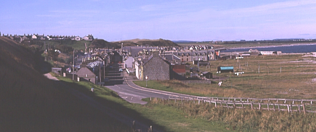
Portgordon
Portgordon, or sometimes Port Gordon, (Scottish Gaelic: Port Ghòrdain) is a village in Moray, Scotland, 2 km (1+1⁄4 mi) south-west of Buckie. It was established...

Arradoul
Arradoul is a small village in Scotland, in the traditional county of Banffshire, and in the Moray council area. It is a ribbon settlement on the south...
Nearby Amenities
Located within 500m of 57.634796,-3.0232616Have you been to Cuffurach?
Leave your review of Cuffurach below (or comments, questions and feedback).