Cuffley

Settlement in Hertfordshire Welwyn Hatfield

England

Cuffley

East Ridgeway, Cuffley
East Ridgeway, Cuffley Credit: Richard Vince

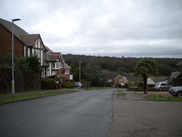
Cuffley is a picturesque village located in the county of Hertfordshire, England. Situated approximately 17 miles north of central London, it falls under the borough of Broxbourne. With a population of around 4,500 residents, Cuffley is a thriving community that offers a peaceful and idyllic lifestyle.

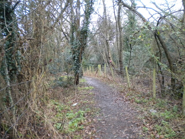
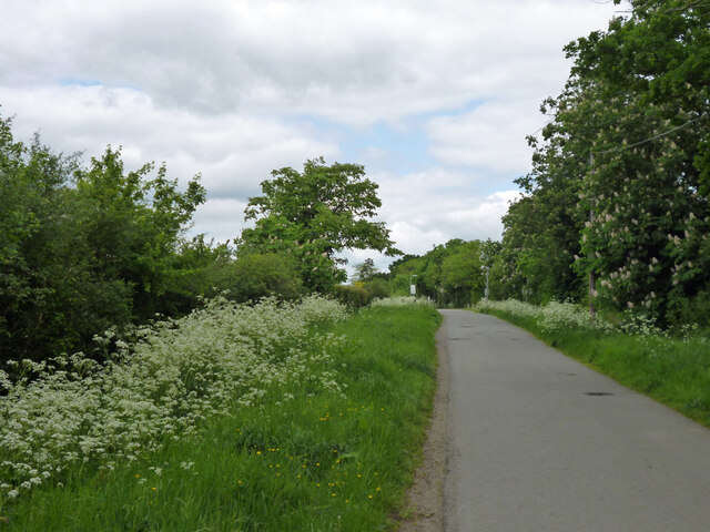
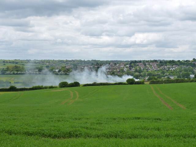
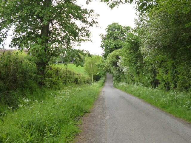
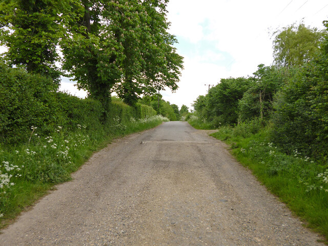
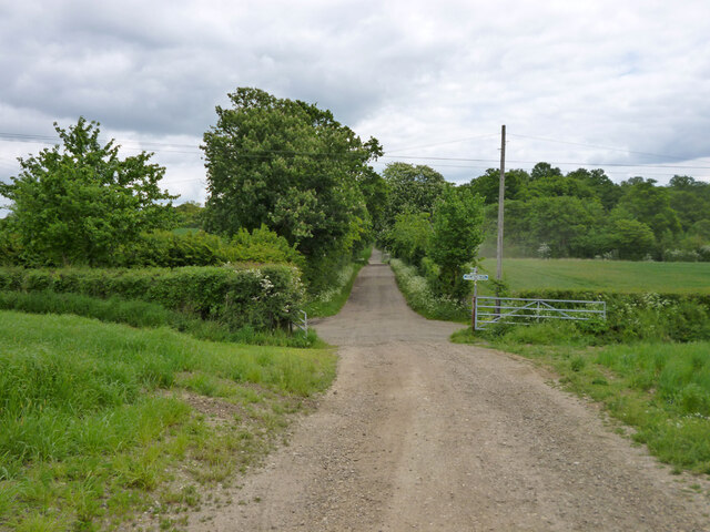
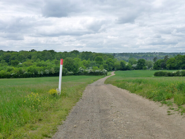
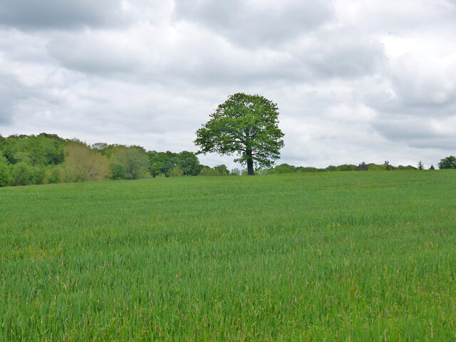
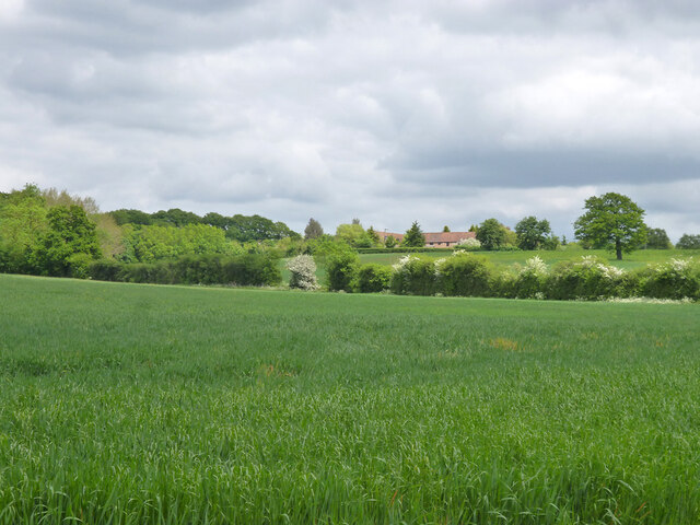
One of the standout features of Cuffley is its natural surroundings. The village is surrounded by green fields, woodlands, and rolling hills, making it a perfect destination for nature enthusiasts and outdoor lovers. The nearby Gobions Wood and Northaw Great Wood provide ample opportunities for walking, hiking, and exploring the local flora and fauna.

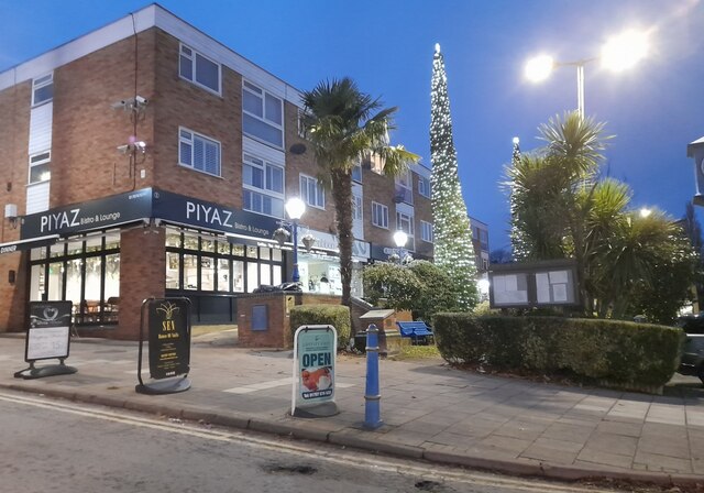
Cuffley boasts a range of amenities to cater to its residents' needs. The village center is home to various shops, including a grocery store, pharmacy, and several independent retailers. Additionally, there are several pubs, cafes, and restaurants, offering a variety of dining options.

For families, Cuffley has a strong sense of community and is home to several highly regarded schools, including Cuffley School and Goffs Oak Primary School. The village also has a community center that hosts various events and activities for both children and adults.

Transport links are excellent in Cuffley, with a direct train service connecting the village to London's King's Cross station in just under 30 minutes. The nearby A10 and M25 motorways provide easy access to other parts of Hertfordshire and beyond.

Overall, Cuffley offers a peaceful and scenic setting, combined with excellent amenities and transport links, making it a highly desirable place to live within the Hertfordshire area.

If you have any feedback on the listing, please let us know in the comments section below.
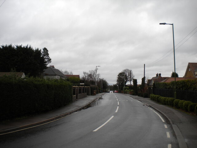
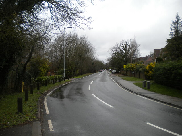
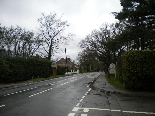
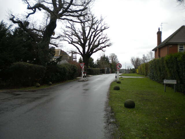
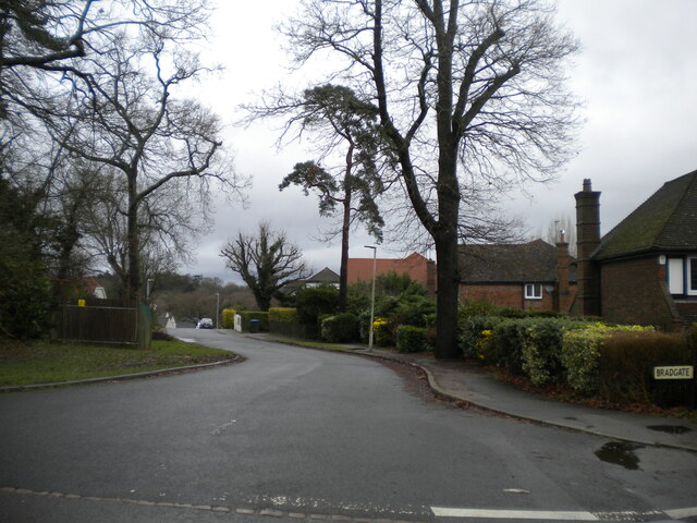
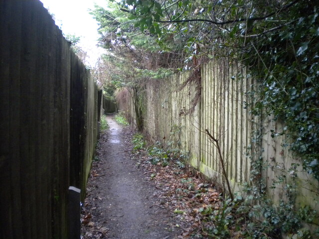
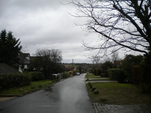
Cuffley Images

Images are sourced within 2km of 51.712961/-0.108136 or Grid Reference TL3003. Thanks to Geograph Open Source API. All images are credited.

East Ridgeway, Cuffley
The Ridgeway, Cuffley (1)
Public footpath off The Ridgeway, Cuffley Part of the Hertfordshire Way.
Public footpath off The Ridgeway, Cuffley
Part of the Hertfordshire Way.
The Ridgeway, Cuffley (2) At its junction with Hanyards Lane.
The Ridgeway, Cuffley (2)
At its junction with Hanyards Lane.
Haynards Lane, Cuffley (1) Seen from near its junction with The Ridgeway.
Haynards Lane, Cuffley (1)
Seen from near its junction with The Ridgeway.
Bradgate, Cuffley Off Hanyards Lane.
Bradgate, Cuffley
Off Hanyards Lane.
Footpath off Haynards Lane, Cuffley Leading to Sutherland Avenue.
Footpath off Haynards Lane, Cuffley
Leading to Sutherland Avenue.
Haynards Lane, Cuffley (2) Seen from its junction with Bradgate.
Haynards Lane, Cuffley (2)
Seen from its junction with Bradgate.
Hill Rise, Cuffley Seen from its junction with Wood View.
Hill Rise, Cuffley
Seen from its junction with Wood View.
Christmas scene in Cuffley
Jones Road This appears to be mapped as a public road up to a point some way behind the camera, when it becomes a public bridleway and private untarred road. However, it is gated at the end of this straight, the gates being open in this view. It is used as part of the 'Chain Walk' - a long distance walking route.
The road was mapped with the odd name of St. Jones's Road up to the 1930s.
Jones Road
This appears to be mapped as a public road up to a point some way behind the camera, when it becomes a public bridleway and private untarred road. However, it is gated at the end of this straight, the gates being open in this view. It is used as part of the 'Chain Walk' - a long distance walking route. The road was mapped with the odd name of St. Jones's Road up to the 1930s.
Fire down below But it appears to be agricultural and monitored, so everything is all right, isn't it?
Fire down below
But it appears to be agricultural and monitored, so everything is all right, isn't it?
Burnt Farm Ride A private tarmac road as far as Burnt Farm, thereafter a well surfaced track. Public bridleway Cheshunt 17.
Burnt Farm Ride
A private tarmac road as far as Burnt Farm, thereafter a well surfaced track. Public bridleway Cheshunt 17.
Burnt Farm Ride The surface changes here, tarmac northwards, just 'mac' to the south.  Public bridleway Cheshunt 17.
Burnt Farm Ride
The surface changes here, tarmac northwards, just 'mac' to the south. Public bridleway Cheshunt 17.
Crossways south of Burnt Farm Burnt Farm Ride runs left and right, bridleway Cheshunt 17 to the left, bridleway Cheshunt 70 to the right. Straight on beyond the junction is bridleway Cheshunt 73. Viewed from footpath Cheshunt 59.
Crossways south of Burnt Farm
Burnt Farm Ride runs left and right, bridleway Cheshunt 17 to the left, bridleway Cheshunt 70 to the right. Straight on beyond the junction is bridleway Cheshunt 73. Viewed from footpath Cheshunt 59.
Farm track crosses gas pipeline The track is public footpath Cheshunt 59.
Farm track crosses gas pipeline
The track is public footpath Cheshunt 59.
Tree in field west of Burnt Farm
View over fields towards Burnt Farm
Show me another place!

Cuffley is located at Grid Ref: TL3003 (Lat: 51.712961, Lng: -0.108136)

Administrative County: Hertfordshire

District: Welwyn Hatfield

Police Authority: Hertfordshire

What 3 Words

///basic.shell.pine. Near Cuffley, Hertfordshire

Nearby Locations

Tolmers Cuffley

Related Wikis

Cuffley

Cuffley is a village in the civil parish of Northaw and Cuffley, in the Welwyn Hatfield district of south-east Hertfordshire located between Cheshunt and...

Cuffley railway station

Cuffley railway station serves the village of Cuffley in the Welwyn Hatfield district of Hertfordshire. It also serves other nearby settlements, namely...

Northaw and Cuffley

Northaw and Cuffley is a civil parish in the Welwyn Hatfield borough of Hertfordshire, England. Located approximately 13.5 miles (21.7 km) north of central...

Tolmers Park

Tolmers Park is a manor house in Newgate Street Village near Hatfield in Hertfordshire, England. == Early history == The early history of the manor is...

Goffs Oak

Goffs Oak (Goff's Oak on Ordnance Survey maps) is a large village in the borough of Broxbourne in Hertfordshire in the United Kingdom. It lies between...

Newgate Street, Hertfordshire

Newgate Street is a village near Cuffley, in Hatfield civil parish, in the Welwyn Hatfield district of Hertfordshire, England. It is approximately six...

The Paddocks

The Paddocks, in Crews Hill, Enfield, London, is a farmhouse that is grade II* listed with Historic England. It dates from the first half of the seventeenth...

Northaw Great Wood

Northaw Great Wood is a 223.6-hectare (553-acre) biological Site of Special Scientific Interest (SSSI) near Cuffley in Hertfordshire, England. It covers...

Nearby Amenities

Located within 500m of 51.712961,-0.108136
Cuffley
Public Transport: stop_position
Railway: stop
Train: yes
Lat/Long: 51.7091448/-0.1097684
Created By: YahooApplet 1.0
Lat/Long: 51.7163888/-0.1107152
Cuffley
Public Transport: stop_position
Railway: stop
Train: yes
Lat/Long: 51.709148/-0.1098278
Railway: switch
Lat/Long: 51.7139431/-0.1102018
Railway: switch
Lat/Long: 51.7141498/-0.1101703
Crossing
Crossing: uncontrolled
Crossing Markings: yes
Tactile Paving: yes
Lat/Long: 51.7085847/-0.1094309
Post Box
Brand: Royal Mail
Brand Wikidata: Q638098
Check Date: 2022-06-02
Collection Times: Mo-Fr 16:45; Sa 11:45
Operator: Royal Mail
Operator Wikidata: Q638098
Post Box Type: pillar
Ref: EN6 114
Royal Cypher: EVIIIR
Royal Cypher Wikidata: Q33102195
Lat/Long: 51.7108534/-0.112261
Post Box
Brand: Royal Mail
Brand Wikidata: Q638098
Operator: Royal Mail
Operator Wikidata: Q638098
Ref: EN6 221
Royal Cypher: EIIR
Royal Cypher Wikidata: Q33102113
Lat/Long: 51.7140678/-0.1148511
Cuffley
Naptan AtcoCode: 9100CUFFLEY
Network: National Rail
Network Website: https://www.nationalrail.co.uk/stations/cuf/
Network Wikidata: Q26334
Operator: Great Northern
Public Transport: station
Railway: station
Ref Crs: CUF
Train: yes
Wikidata: Q2033388
Wikipedia: en:Cuffley railway station
Lat/Long: 51.7091464/-0.1097981
Turning Circle
Lat/Long: 51.7121154/-0.1147348
Noexit: yes
Lat/Long: 51.7085735/-0.1086637
Noexit: yes
Lat/Long: 51.7085353/-0.1087341
Turning Circle
Lat/Long: 51.712454/-0.1085603
Turning Circle
Lat/Long: 51.7143871/-0.1130518
Turning Circle
Lat/Long: 51.7144907/-0.1113499
Turning Circle
Lat/Long: 51.7121089/-0.111062
The data included in this document is from www.openstreetmap.org. The data is made available under ODbL.

Have you been to Cuffley?

Leave your review of Cuffley below (or comments, questions and feedback).