Caversfield
Settlement in Oxfordshire Cherwell
England
Caversfield
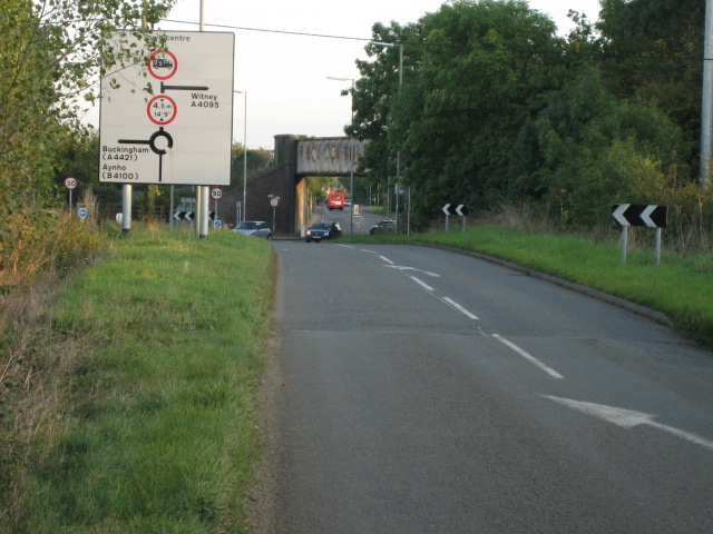
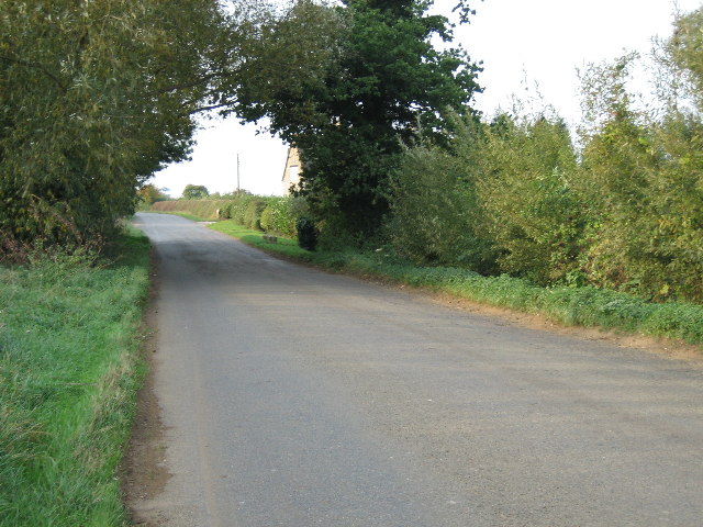
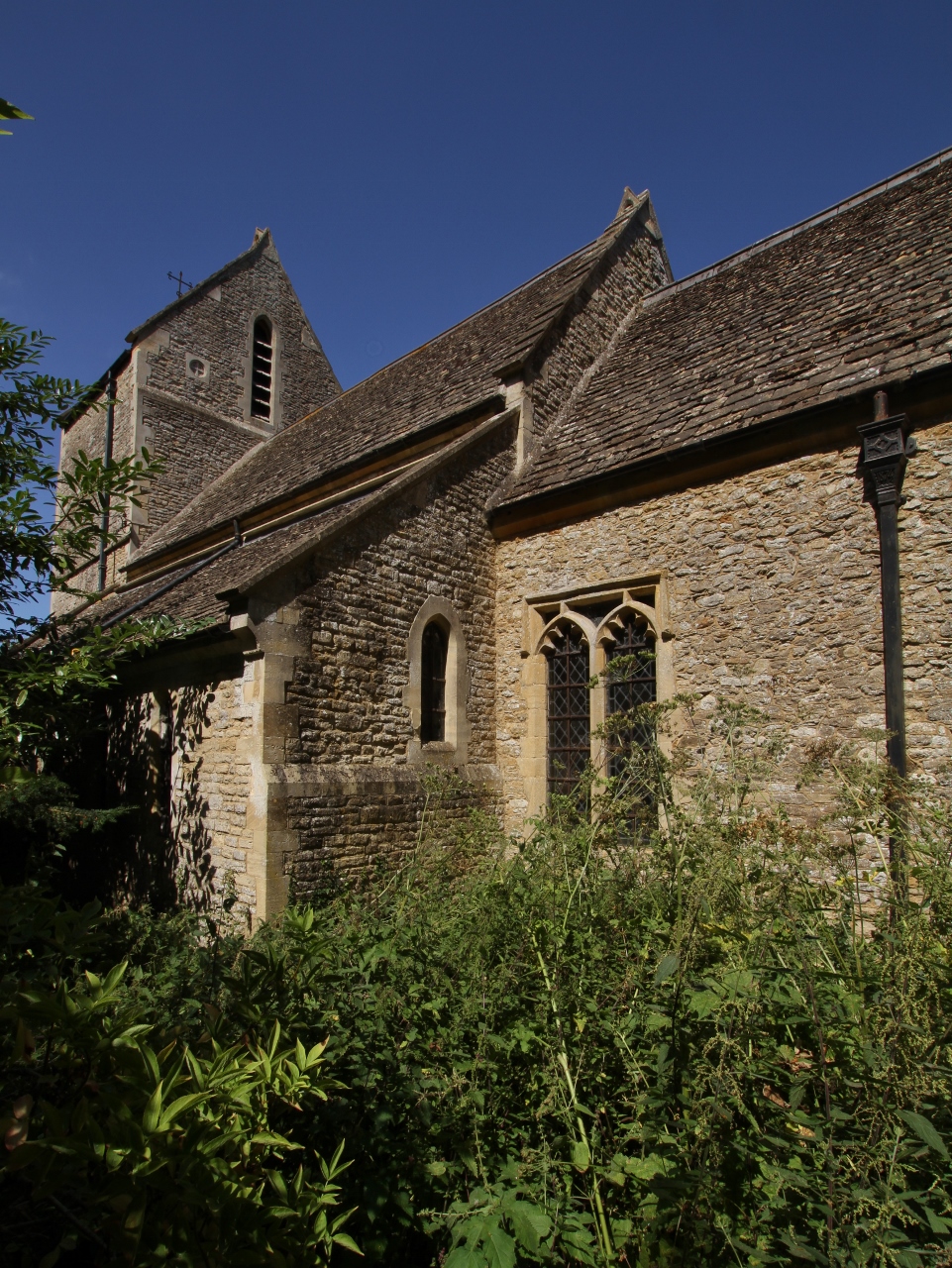
Caversfield is a village located in Oxfordshire, England. Situated approximately 6 miles northeast of the historic city of Oxford, it falls within the Cherwell district. The village is nestled in a rural setting, surrounded by picturesque countryside and farmland.
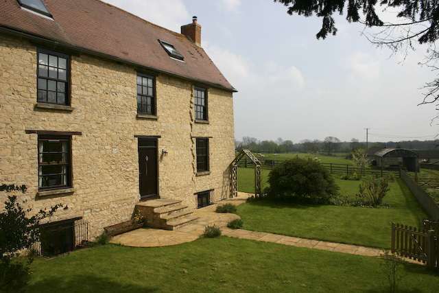
Caversfield has a rich history that can be traced back to the Domesday Book of 1086, where it was mentioned as "Cavreshella." Over the years, the village has evolved and grown, while still maintaining its traditional charm. The architecture in Caversfield is a mix of old and new, with some historic buildings standing alongside modern developments.
The village offers a range of amenities to its residents. These include a primary school, a village hall, a sports and social club, and a local pub. Caversfield is well-connected by road, with easy access to the A34 and M40, making it convenient for commuters.
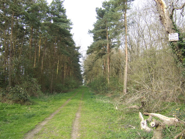
The surrounding countryside provides ample opportunities for outdoor activities and exploration. There are several footpaths and bridleways in the area, allowing residents and visitors to enjoy scenic walks and bike rides. The nearby Bicester Village, a luxury shopping destination, is also within easy reach.
Caversfield is a close-knit community, with various social events and activities organized throughout the year. The village hosts an annual summer fete, bringing together residents and visitors for a day of entertainment and celebration.
Overall, Caversfield offers a tranquil and idyllic setting for those seeking a rural lifestyle while still being within reach of Oxford and other nearby towns. With its rich history, beautiful surroundings, and vibrant community spirit, Caversfield is a charming village that captures the essence of Oxfordshire.
If you have any feedback on the listing, please let us know in the comments section below.
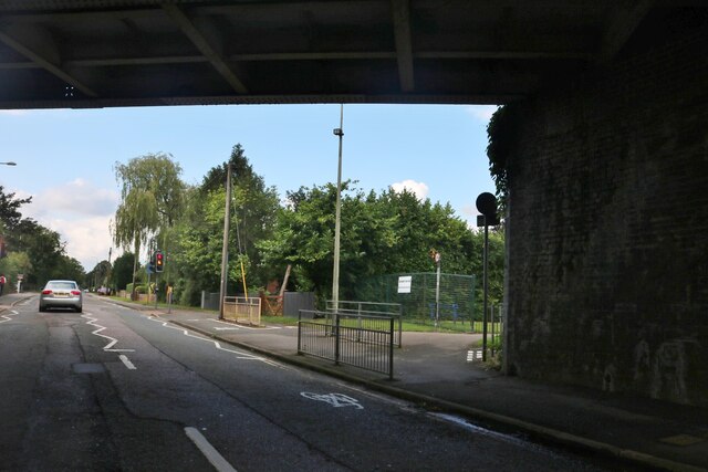
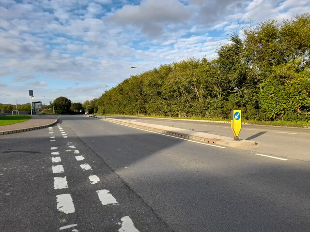
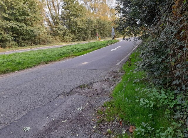
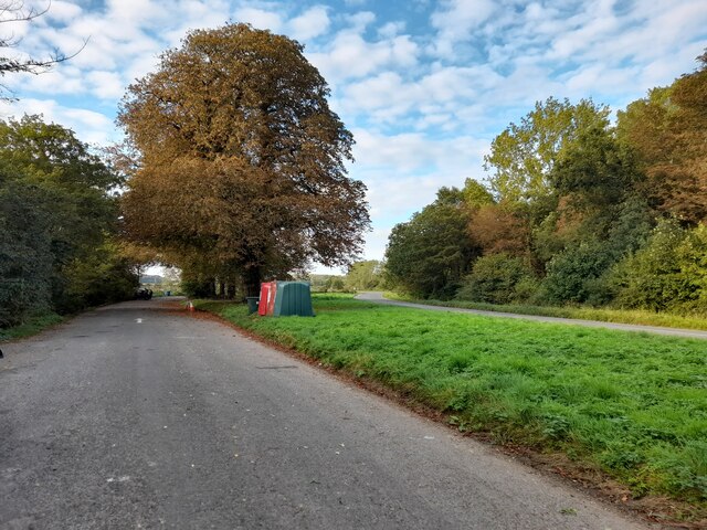
Caversfield Images
Images are sourced within 2km of 51.921213/-1.156517 or Grid Reference SP5825. Thanks to Geograph Open Source API. All images are credited.


Caversfield is located at Grid Ref: SP5825 (Lat: 51.921213, Lng: -1.156517)
Administrative County: Oxfordshire
District: Cherwell
Police Authority: Thames Valley
What 3 Words
///machinery.scars.merge. Near Bicester, Oxfordshire
Nearby Locations
Related Wikis
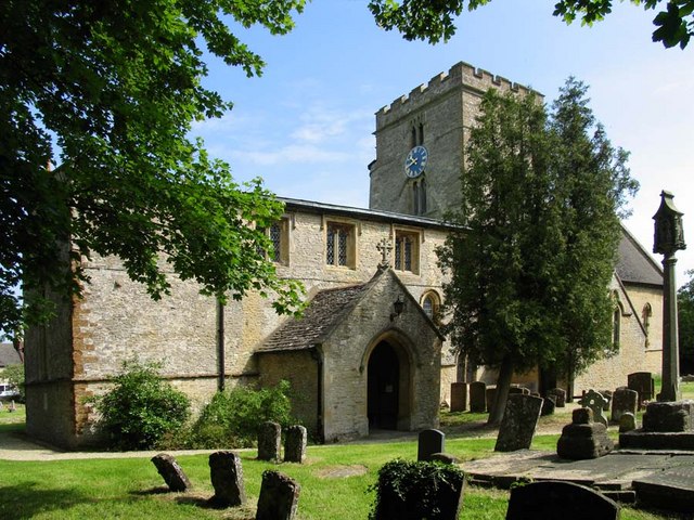
Caversfield
Caversfield is a village and civil parish about 1+1⁄2 miles (2.4 km) north of the centre of Bicester. In 1844 Caversfield became part of Oxfordshire, but...

Bure Park
Bure Park is a 8.4-hectare (21-acre) Local Nature Reserve in Bicester in Oxfordshire. It is owned by Bicester Town Council and managed by Cherwell District...
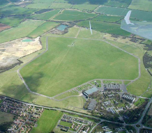
Bicester Airfield
Bicester Aerodrome, formerly RAF Bicester, is a private airfield on the outskirts of the English town of Bicester in Oxfordshire. Dating back to 1916,...

Cooper School, Bicester
The Cooper School is a co-educational secondary school and sixth form with academy status, located in the northern side of Bicester, Oxfordshire. ��2...

Bainton, Oxfordshire
Bainton is a hamlet comprising a cluster of farms in the civil parish of Stoke Lyne, about 3 miles (5 km) north of the centre of Bicester. == History... ==
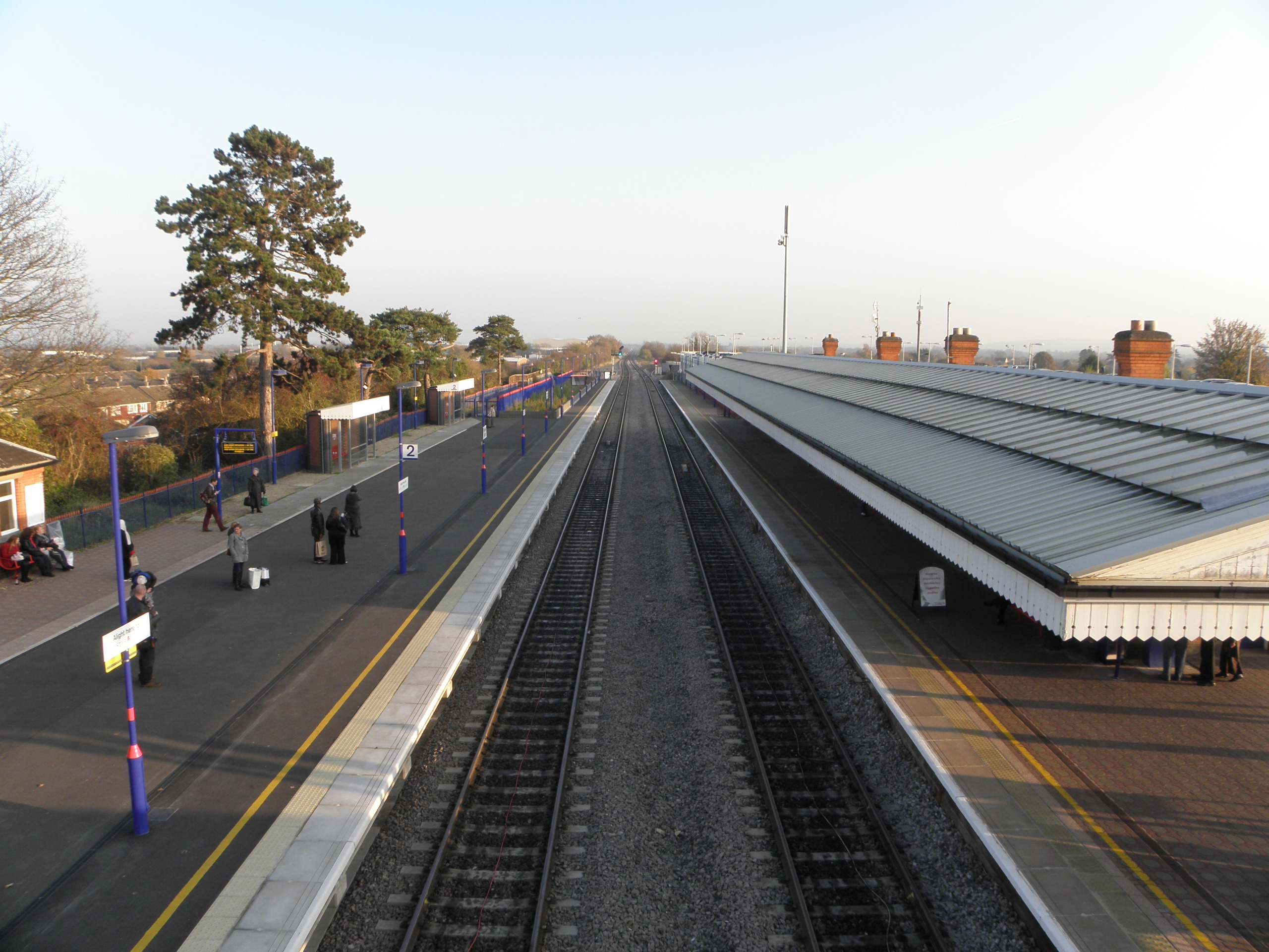
Bicester North railway station
Bicester North is a station on the Chiltern Main Line, one of two stations serving Bicester in Oxfordshire. Services operated by Chiltern Railways run...
Bucknell, Oxfordshire
Bucknell is a village and civil parish 2+1⁄2 miles (4 km) northwest of Bicester in Oxfordshire, England. The 2011 Census recorded the parish's population...
The Bicester School
The Bicester School (previously Bicester Community College) is a mixed, multi-heritage, secondary school, with 963 students (including a sixth form). It...
Nearby Amenities
Located within 500m of 51.921213,-1.156517Have you been to Caversfield?
Leave your review of Caversfield below (or comments, questions and feedback).