Caversfield
Civil Parish in Oxfordshire Cherwell
England
Caversfield

Caversfield is a civil parish located in the county of Oxfordshire, England. It is situated approximately 5 miles northeast of the town of Bicester. The parish covers an area of around 1,440 acres and has a population of around 1,400 people.
The village of Caversfield is primarily residential, with a mix of modern and traditional housing. It is surrounded by picturesque countryside, offering residents a peaceful and scenic environment. The parish is known for its close-knit community and friendly atmosphere.
Caversfield has a rich history, dating back to the Roman era. Archaeological evidence suggests that there was a Roman settlement in the area, which may have included a villa. The village is mentioned in the Domesday Book of 1086, where it is recorded as "Caueresfelt." Over the centuries, the parish has witnessed various changes and developments, including the establishment of a Royal Air Force (RAF) base during World War II, which played a significant role in the defense of the country.
Today, Caversfield benefits from its proximity to larger towns like Bicester, which provides residents with easy access to a wide range of amenities and services. The parish has a primary school, a village hall, and a local pub, which serves as a social hub for the community. There are also several recreational areas, including a sports field and playgrounds, where residents can enjoy outdoor activities.
Overall, Caversfield offers a charming rural setting, historical significance, and a strong community spirit, making it an attractive place to live for both families and individuals seeking a peaceful countryside lifestyle.
If you have any feedback on the listing, please let us know in the comments section below.
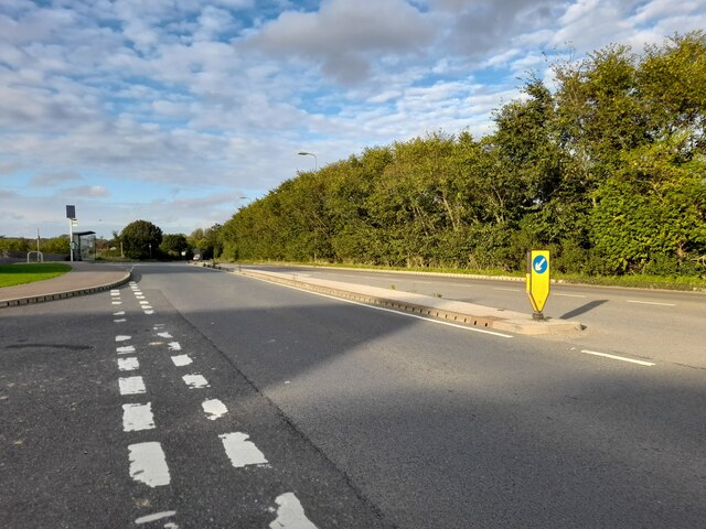
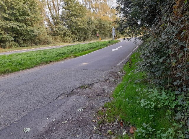
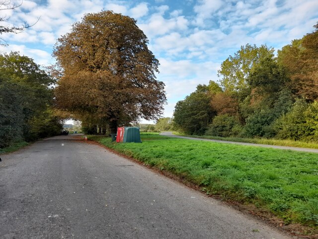
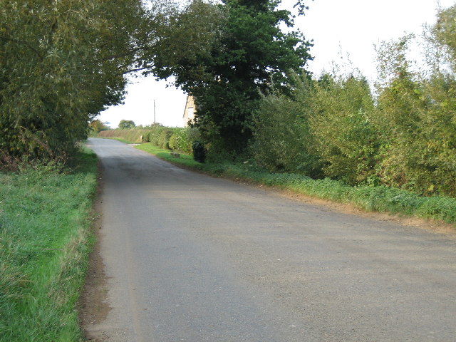
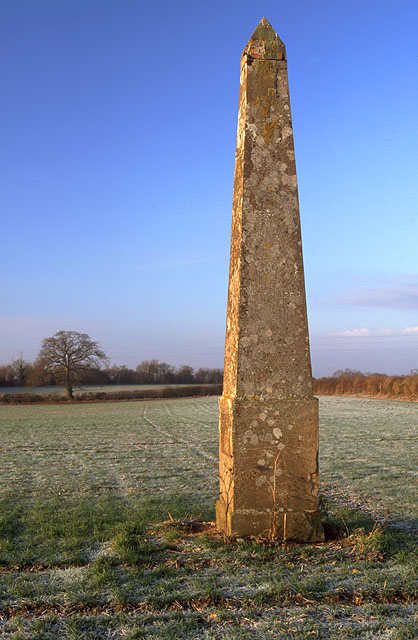
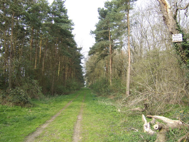
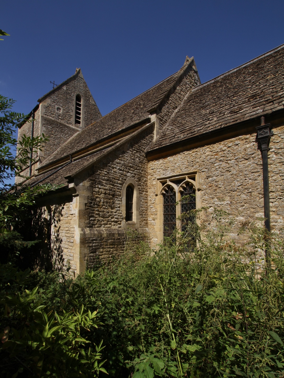
Caversfield Images
Images are sourced within 2km of 51.926111/-1.15244 or Grid Reference SP5825. Thanks to Geograph Open Source API. All images are credited.


Caversfield is located at Grid Ref: SP5825 (Lat: 51.926111, Lng: -1.15244)
Administrative County: Oxfordshire
District: Cherwell
Police Authority: Thames Valley
What 3 Words
///strike.exile.consults. Near Bicester, Oxfordshire
Nearby Locations
Related Wikis
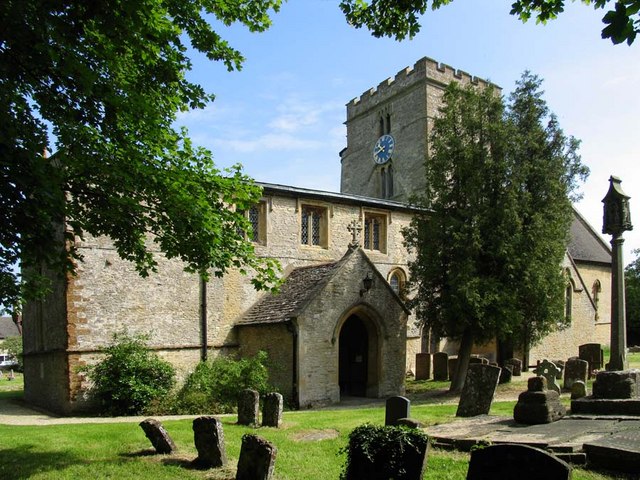
Caversfield
Caversfield is a village and civil parish about 1+1⁄2 miles (2.4 km) north of the centre of Bicester. In 1844 Caversfield became part of Oxfordshire, but...

Bainton, Oxfordshire
Bainton is a hamlet comprising a cluster of farms in the civil parish of Stoke Lyne, about 3 miles (5 km) north of the centre of Bicester. == History... ==
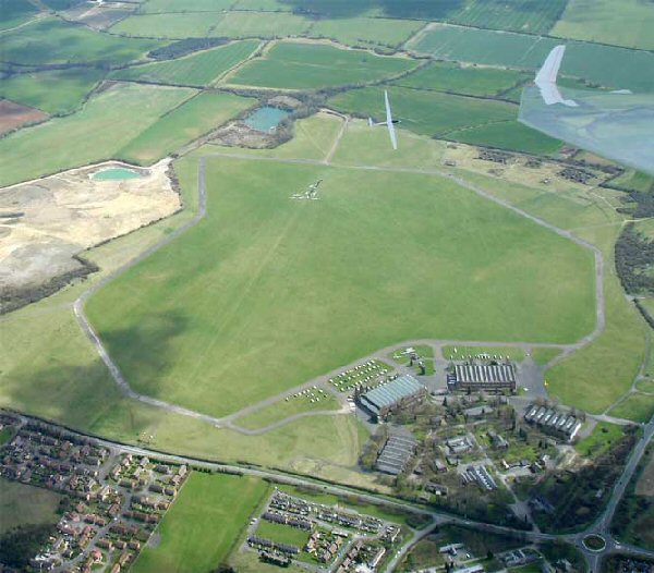
Bicester Airfield
Bicester Aerodrome, formerly RAF Bicester, is a private airfield on the outskirts of the English town of Bicester in Oxfordshire. Dating back to 1916,...

Bure Park
Bure Park is a 8.4-hectare (21-acre) Local Nature Reserve in Bicester in Oxfordshire. It is owned by Bicester Town Council and managed by Cherwell District...

Cooper School, Bicester
The Cooper School is a co-educational secondary school and sixth form with academy status, located in the northern side of Bicester, Oxfordshire. ��2...
Bucknell, Oxfordshire
Bucknell is a village and civil parish 2+1⁄2 miles (4 km) northwest of Bicester in Oxfordshire, England. The 2011 Census recorded the parish's population...

Stratton Audley
Stratton Audley is a village and civil parish about 2.5 miles (4 km) northeast of Bicester in Oxfordshire, England. == Manor == The Domesday Book of 1086...
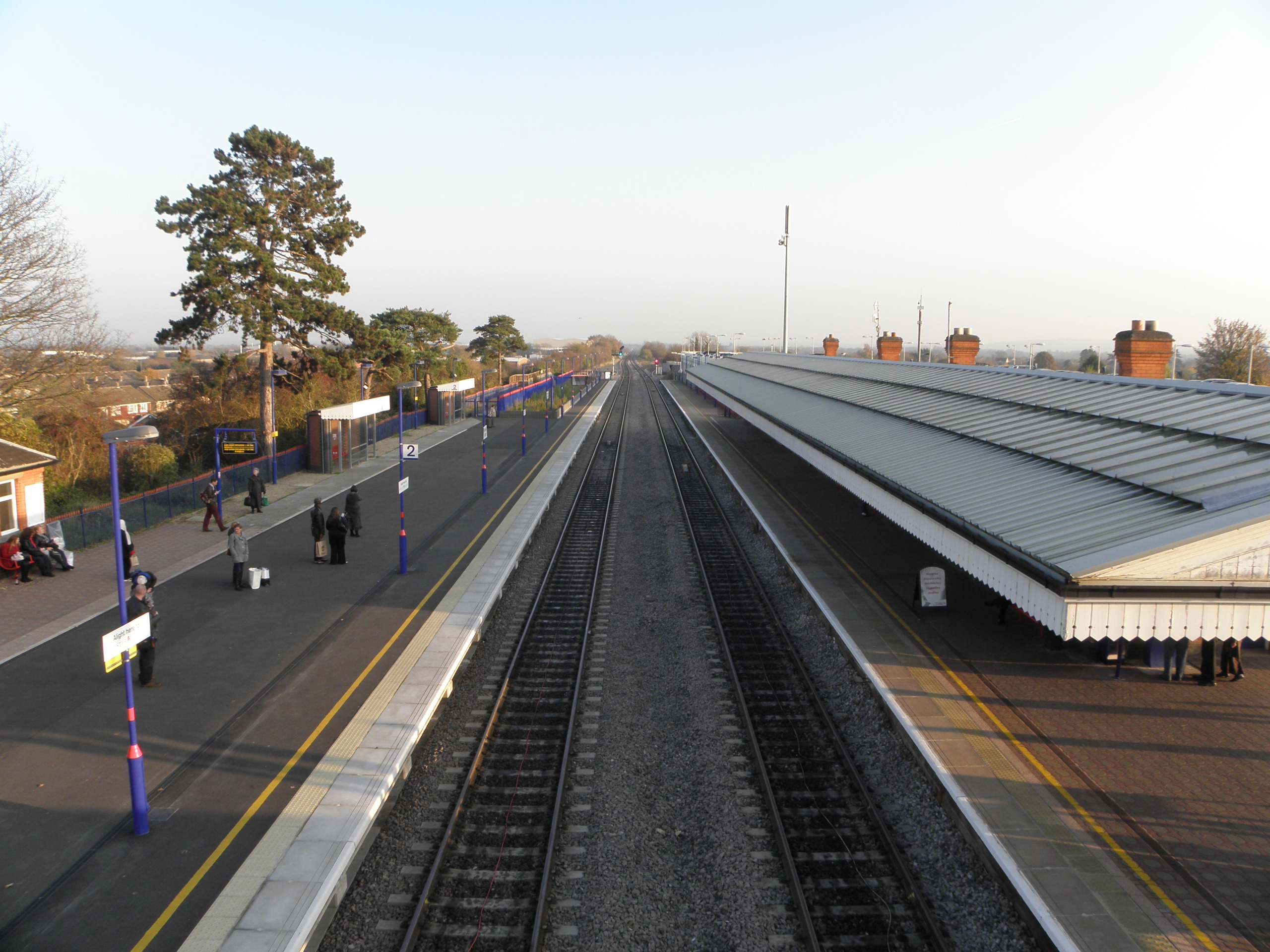
Bicester North railway station
Bicester North is a station on the Chiltern Main Line, one of two stations serving Bicester in Oxfordshire. Services operated by Chiltern Railways run...
Related Videos
![[4K] Walking Tour of Bicester Village near Oxford and London](https://i.ytimg.com/vi/kw_YVoT2J4I/hqdefault.jpg)
[4K] Walking Tour of Bicester Village near Oxford and London
Bicester Village is an hour from London and 30 minutes from Oxford. A place where you can meet more than 160 luxury designer ...

Bicester Village | Oxfordshire England UK) | A Walking Tour
Come and walk around with me at Bicester Village Designer Outlet Bicester Village is a Luxury outlet shopping on the outskirts of ...
Bicester Village diaries 📔📔📔🇬🇧🇬🇧🇬🇧
Marylebone tube #tube #underground #marylebone #bicestervillage #luxuryshopping #london #londonlife #londondiaries ...

Bicester village Oxfordshire. #bicestervillage #shorts #viral #travel #ytshorts #dior #prada
Explore the charm of Bicester Village in Oxfordshire, where luxury shopping meets picturesque surroundings. Join us on a journey ...
Nearby Amenities
Located within 500m of 51.926111,-1.15244Have you been to Caversfield?
Leave your review of Caversfield below (or comments, questions and feedback).