Hill End Wood

Wood, Forest in Selkirkshire

Scotland

Hill End Wood

Overgrown borrow pit Hyndhope Forest.
Overgrown borrow pit Credit: Richard Webb

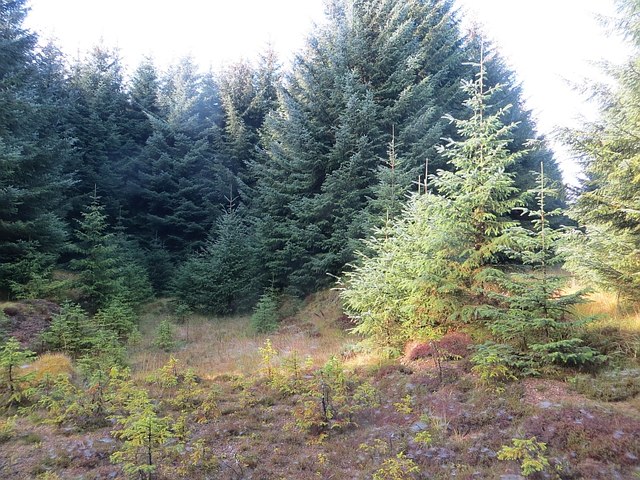
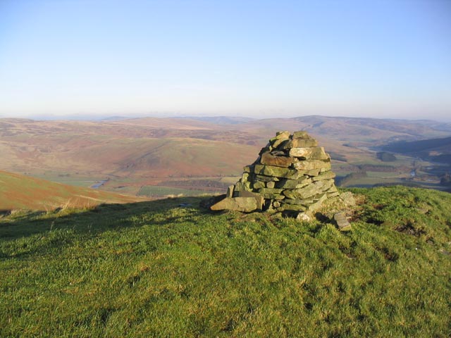
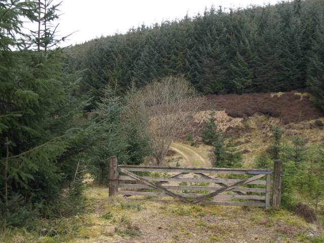
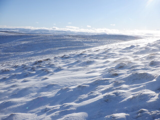
Hill End Wood is a picturesque forest located in Selkirkshire, Scotland. Spanning over a vast expanse, the wood is a haven for nature enthusiasts and outdoor adventurers alike. The forest is known for its diverse range of flora and fauna, making it a popular destination for wildlife spotting and birdwatching.

The wood is characterised by its dense canopy of towering trees, including oak, birch, and beech. These majestic trees provide a cool and shaded atmosphere, perfect for leisurely walks and peaceful picnics. The forest floor is carpeted with a vibrant array of wildflowers and ferns, creating a serene and tranquil environment.

Traversing through Hill End Wood, visitors will find a well-maintained network of walking trails, allowing them to explore the forest at their own pace. These trails lead to various points of interest, such as a charming pond and a small waterfall, adding to the natural beauty of the wood.

Wildlife enthusiasts will be delighted to encounter an abundance of animals, including red deer, rabbits, and a variety of bird species. The forest is particularly renowned for its resident population of red squirrels, which can often be spotted scampering among the treetops.

Hill End Wood offers a delightful escape from the hustle and bustle of everyday life, providing visitors with an opportunity to reconnect with nature and enjoy the serenity of the woodland surroundings. Whether it's a leisurely stroll, birdwatching, or simply soaking in the peaceful ambiance, this enchanting forest is a must-visit destination for nature lovers.

If you have any feedback on the listing, please let us know in the comments section below.

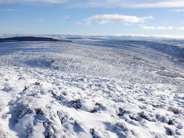
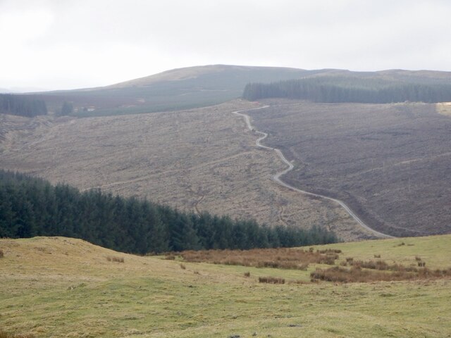
Hill End Wood Images

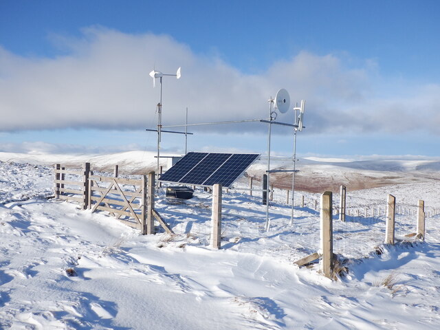
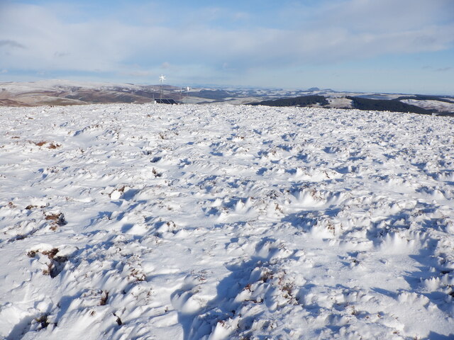
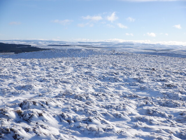
Images are sourced within 2km of 55.479707/-3.010608 or Grid Reference NT3621. Thanks to Geograph Open Source API. All images are credited.

Overgrown borrow pit Hyndhope Forest.
Overgrown borrow pit
Hyndhope Forest.
White Hill New tree planting on White Hill. A large acreage of hillside between here and Deloraineshiel has recently been planted with trees.
White Hill
New tree planting on White Hill. A large acreage of hillside between here and Deloraineshiel has recently been planted with trees.
Hyndhope Forest Looking over the tree tops near Dodhead.
Hyndhope Forest
Looking over the tree tops near Dodhead.
Dyke and plantation edge To the Northeast of White Hill.
Dyke and plantation edge
To the Northeast of White Hill.
Cairn on Hyndhope Kip Looking over to the Ettrick Valley.
Cairn on Hyndhope Kip
Looking over to the Ettrick Valley.
Mossbrae Height Stony ground near the summit.
Mossbrae Height
Stony ground near the summit.
Mossbrae Height The summit area is a blanket of heather. A cairn is marked on the Landranger Map but nothing exists on the ground.
Mossbrae Height
The summit area is a blanket of heather. A cairn is marked on the Landranger Map but nothing exists on the ground.
Dodhead An isolated (abandoned?) cottage on the edge of the Dodhead Burn
Dodhead
An isolated (abandoned?) cottage on the edge of the Dodhead Burn
Gate, Dodhead Part of the Forestry Track through Dodhead
Gate, Dodhead
Part of the Forestry Track through Dodhead
Mossbrae Height Spindrift flowing over deep heather.
Mossbrae Height
Spindrift flowing over deep heather.
Mossbrae Height Blowing snow over deep heather. There were some sheep up here.
Mossbrae Height
Blowing snow over deep heather. There were some sheep up here.
East side of Mossbrae Height
Hyndhope Kip Deep snow on deep heather. By now it was obvious that I was not going to be going much further along this broad ridge. At this time I was unaware as to how quickly for the better the underfoot conditions would change on the descent from Mossbrae Height
Hyndhope Kip
Deep snow on deep heather. By now it was obvious that I was not going to be going much further along this broad ridge. At this time I was unaware as to how quickly for the better the underfoot conditions would change on the descent from Mossbrae Height
Broadband relay, Mossbrae Height A familiar sight on a hilltop in the Borders.
Broadband relay, Mossbrae Height
A familiar sight on a hilltop in the Borders.
Mossbrae Height summit Heathery under the snow.
Mossbrae Height summit
Heathery under the snow.
Near the summit, Mossbrae Height
Hyndhope Kip Trackless deep heather and snow too. Time to head down. Very easy going was found a few minutes later heading down to Deloraineburn.
Hyndhope Kip
Trackless deep heather and snow too. Time to head down. Very easy going was found a few minutes later heading down to Deloraineburn.
Logging road, White Hill
Show me another place!

Hill End Wood is located at Grid Ref: NT3621 (Lat: 55.479707, Lng: -3.010608)

Unitary Authority: The Scottish Borders

Police Authority: The Lothians and Scottish Borders

What 3 Words

///gallons.starlight.arriving. Near Ettrick, Scottish Borders

Nearby Locations

Hill End Wood Hyndhope

Related Wikis

Selkirkshire

Selkirkshire or the County of Selkirk (Scottish Gaelic: Siorrachd Shalcraig) is a historic county and registration county of Scotland. It borders Peeblesshire...

Ettrickbridge

Ettrickbridge (Scottish Gaelic: Drochaid Eadaraig) is a village situated in the Scottish Borders region of Scotland, 7 miles (11 km) from the nearby town...

Kirkhope Tower

Kirkhope Tower is a Scottish Pele, located in the Ettrick Valley, in the historic county of Selkirkshire, now a division of the Scottish Borders. The tower...

Alemoor Loch

Alemoor Loch, also known as Alemoor Reservoir, is a small reservoir in the Scottish Borders area of Scotland. It is situated on the Ale Water, 10 kilometres...

Nearby Amenities

Located within 500m of 55.479707,-3.010608
Material: wood
Power: pole
Transformer: distribution
Lat/Long: 55.4809891/-3.0124238
Material: wood
Power: pole
Lat/Long: 55.4803005/-3.0128771
Material: wood
Power: pole
Lat/Long: 55.4795329/-3.0130434
Material: wood
Power: pole
Lat/Long: 55.4788808/-3.0179116
Material: wood
Power: pole
Lat/Long: 55.4788307/-3.0165356
Material: wood
Power: pole
Lat/Long: 55.4787668/-3.014937
Material: wood
Power: pole
Lat/Long: 55.4787075/-3.0133867
Material: wood
Power: pole
Lat/Long: 55.4786604/-3.0119008
Material: wood
Power: pole
Lat/Long: 55.4789781/-3.0107072
Material: wood
Power: pole
Lat/Long: 55.4792943/-3.0095029
Material: wood
Power: pole
Lat/Long: 55.4795983/-3.00832
Material: wood
Power: pole
Lat/Long: 55.4801547/-3.0061715
Material: wood
Power: pole
Lat/Long: 55.4799182/-3.0070889
Material: wood
Power: pole
Lat/Long: 55.4803317/-3.0054849
Material: wood
Power: pole
Lat/Long: 55.4806182/-3.0043571
Material: wood
Power: pole
Lat/Long: 55.4811844/-3.0034263
The data included in this document is from www.openstreetmap.org. The data is made available under ODbL.

Have you been to Hill End Wood?

Leave your review of Hill End Wood below (or comments, questions and feedback).