Caberston Forest

Wood, Forest in Peeblesshire

Scotland

Caberston Forest

Fence on Scawd Law south ridge Cairn Hill is the summit in the distance with tree planting on each side.
Fence on Scawd Law south ridge Credit: Gordon Brown

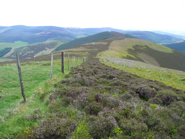
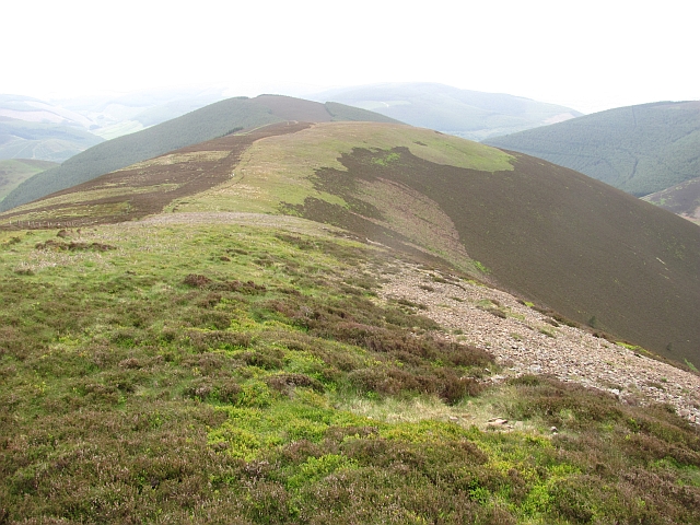
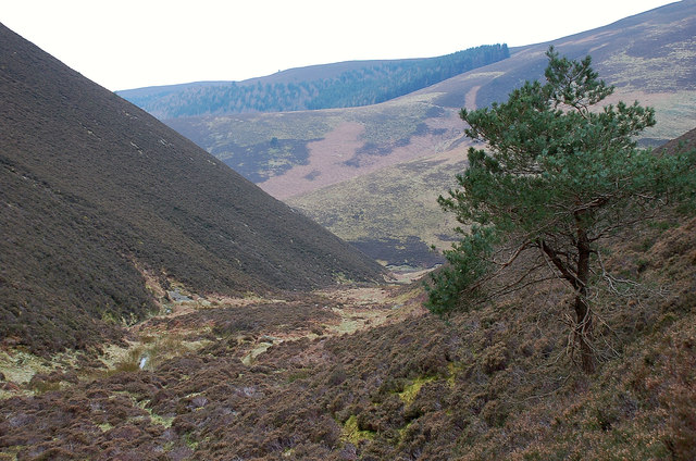
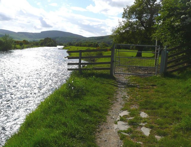
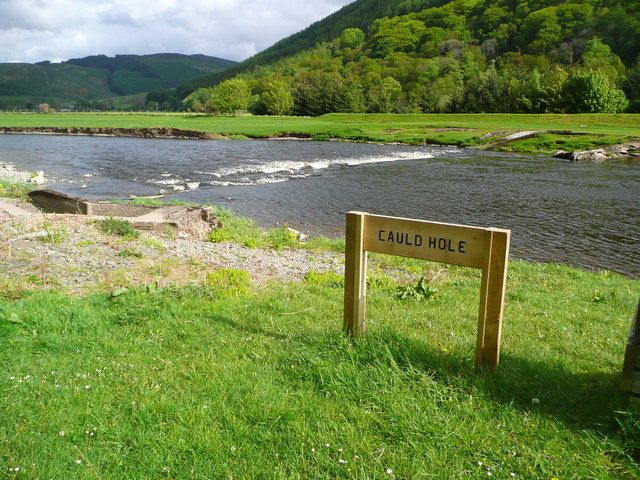
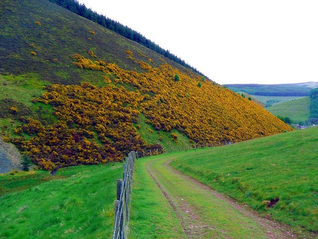
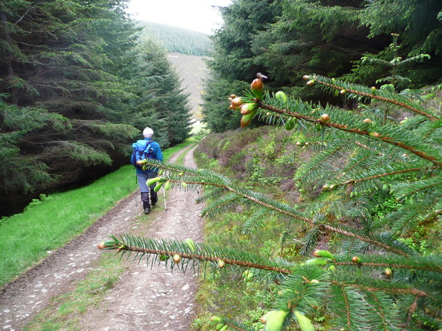
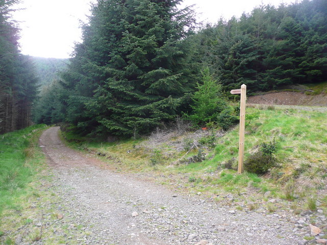
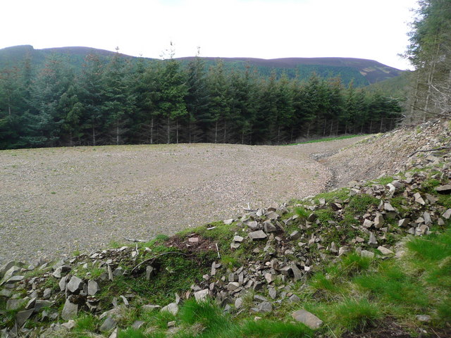
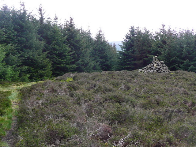
Caberston Forest is a vast woodland area located in Peeblesshire, Scotland. It covers an expansive area of land, consisting of dense forests, rolling hills, and serene streams. The forest is situated near the town of Innerleithen and is a popular destination for nature enthusiasts and outdoor adventurers.

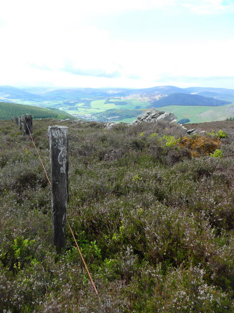
Known for its natural beauty and rich biodiversity, Caberston Forest offers a diverse range of flora and fauna. The woodland is dominated by a mixture of coniferous and deciduous trees, including Scots pine, oak, beech, and birch. The forest floor is adorned with a carpet of wildflowers, creating a picturesque landscape during spring and summer.

The forest is home to a variety of wildlife, including red squirrels, roe deer, and a wide array of bird species. Visitors may also spot elusive creatures such as badgers, foxes, and even the occasional pine marten.

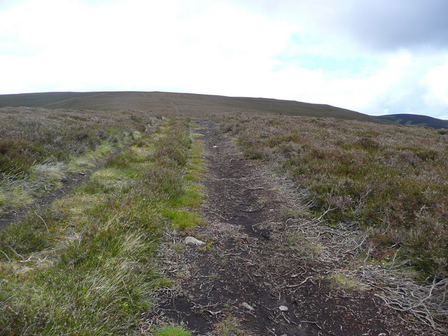
For outdoor enthusiasts, Caberston Forest provides an extensive network of trails and paths, making it an ideal location for walking, hiking, and cycling. The trails cater to all levels of difficulty, from gentle strolls to more challenging hikes, offering something for everyone.

In addition to its natural attractions, Caberston Forest also boasts historical significance. The remnants of ancient settlements and archaeological sites can be found within its borders, providing glimpses into the area's rich cultural heritage.

Overall, Caberston Forest is a breathtaking natural haven, offering a tranquil escape from the hustle and bustle of everyday life. Its enchanting scenery, diverse wildlife, and recreational opportunities make it a must-visit destination for nature lovers and outdoor enthusiasts alike.

If you have any feedback on the listing, please let us know in the comments section below.

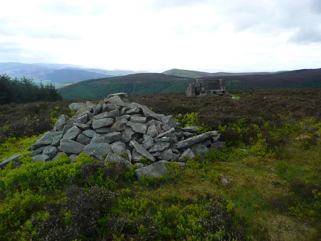
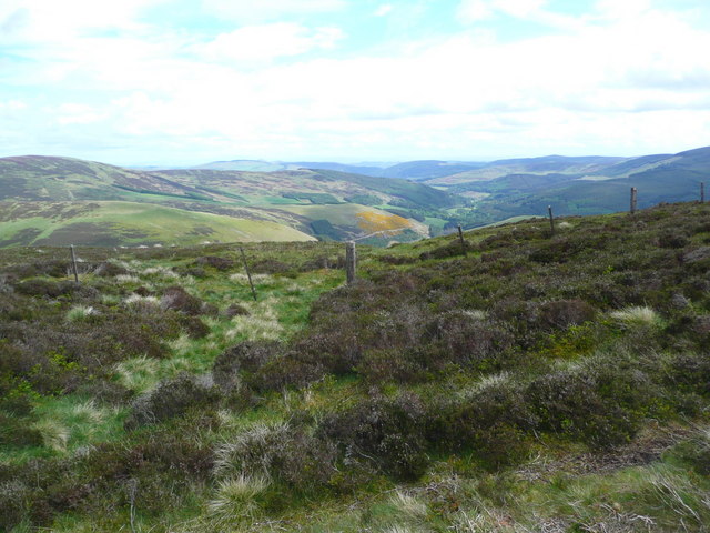
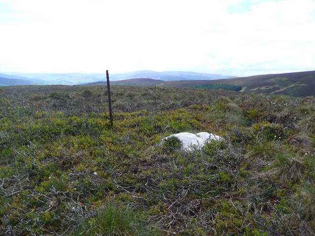
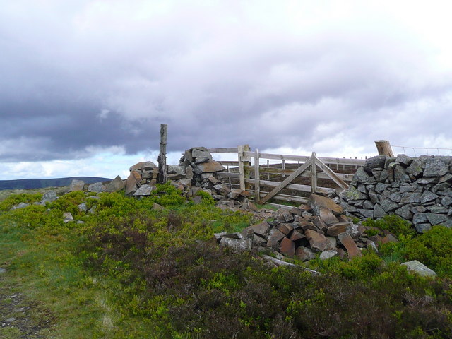
Caberston Forest Images

Images are sourced within 2km of 55.634365/-3.0146817 or Grid Reference NT3638. Thanks to Geograph Open Source API. All images are credited.

Fence on Scawd Law south ridge Cairn Hill is the summit in the distance with tree planting on each side.
Fence on Scawd Law south ridge
Cairn Hill is the summit in the distance with tree planting on each side.
South ridge, Scawd Law The ridge descends gently towards Cairn Hill.
South ridge, Scawd Law
The ridge descends gently towards Cairn Hill.
The lower end of East Grain The burn joins West Grain just downstream where they form Priesthope Burn.
The lower end of East Grain
The burn joins West Grain just downstream where they form Priesthope Burn.
Caberston Coffee Shop, Walkerburn This coffee shop is located on the north side of the A72 in the village centre.
Caberston Coffee Shop, Walkerburn
This coffee shop is located on the north side of the A72 in the village centre.
Gate by the Tweed at Innerleithen
The Cauld Hole on the Tweed at Walkerburn The 'Weir Pool' above the weir where fish stop to rest before continuing on up the river.
The Cauld Hole on the Tweed at Walkerburn
The 'Weir Pool' above the weir where fish stop to rest before continuing on up the river.
Superior fishing hut on the Tweed Fishing the Tweed for salmon can be expensive, and clients expect decent facilities.  This hut provides shelter and a seat when break time comes.  Note the rod support outside between the two sets of steps.
Superior fishing hut on the Tweed
Fishing the Tweed for salmon can be expensive, and clients expect decent facilities. This hut provides shelter and a seat when break time comes. Note the rod support outside between the two sets of steps.
Gorse in exuberant form above Walkerburn
Budding conifers on the Priesthope track Approaching Walkerburn
Budding conifers on the Priesthope track
Approaching Walkerburn
Walkers' signs at Priesthope To the left for Walkerburn, to the right for Innerleithen.
Walkers' signs at Priesthope
To the left for Walkerburn, to the right for Innerleithen.
Forest track development above Walkerburn A huge metalled turning area at the end of the forest track has been created here by extensive excavation.  The forest appears mature and this may signify imminent harvesting.
Forest track development above Walkerburn
A huge metalled turning area at the end of the forest track has been created here by extensive excavation. The forest appears mature and this may signify imminent harvesting.
The lower cairn on Cairn Hill
The summit cairn on Cairn Hill The building blocks in the background are all that remain of a radio mast base.
The summit cairn on Cairn Hill
The building blocks in the background are all that remain of a radio mast base.
Fence on the south ridge of Scawd Law Looking down to the glen of the Gatehopeknowe Burn.
Fence on the south ridge of Scawd Law
Looking down to the glen of the Gatehopeknowe Burn.
Grit for grouse on Scawd Law It is important for grouse to have grit available to ensure digestive health.
Grit for grouse on Scawd Law
It is important for grouse to have grit available to ensure digestive health.
Wall and fence on the summit of Priesthope Hill
Fence and wall on the south ridge of Priesthope Hill The town of Innerleithen just visible in the distance.
Fence and wall on the south ridge of Priesthope Hill
The town of Innerleithen just visible in the distance.
Path on the south ridge of Priesthope Hill
Show me another place!

Caberston Forest is located at Grid Ref: NT3638 (Lat: 55.634365, Lng: -3.0146817)

Unitary Authority: The Scottish Borders

Police Authority: The Lothians and Scottish Borders

What 3 Words

///bolsters.responds.provider. Near Innerleithen, Scottish Borders

Related Wikis

Walkerburn

Walkerburn (Scottish Gaelic: Allt an Fhùcadair) is a small village in the Scottish Borders area of Scotland, on the A72 about 8 miles (13 km) from Peebles...

The Kirna

The Kirna, known locally as Kirna House (previously also as Grangehill), is a Category A listed villa in Walkerburn, Peeblesshire, Scotland. It is one...

Walkerburn railway station

Walkerburn railway station served the village of Walkerburn, Scottish Borders, Scotland from 1867 to 1962 on the Peebles Railway. == History == The station...

Innerleithen

Innerleithen (Scottish Gaelic: Inbhir Leitheann) is a civil parish and a small town in the committee area of Tweeddale, in the Scottish Borders. It was...

Nearby Amenities

Located within 500m of 55.634365,-3.0146817
Cairn Hill
Ele: 500
Natural: peak
Lat/Long: 55.6373243/-3.0101745
Man Made: tower
Tower Type: communication
Lat/Long: 55.6373878/-3.0107576
The data included in this document is from www.openstreetmap.org. The data is made available under ODbL.

Have you been to Caberston Forest?

Leave your review of Caberston Forest below (or comments, questions and feedback).