Hyndhope

Settlement in Selkirkshire

Scotland

Hyndhope

White Hill New tree planting on White Hill. A large acreage of hillside between here and Deloraineshiel has recently been planted with trees.
White Hill Credit: Richard Webb

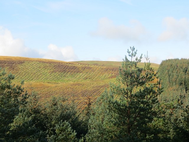
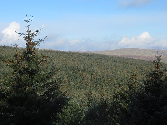
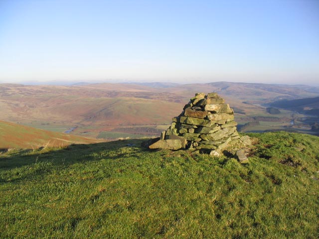
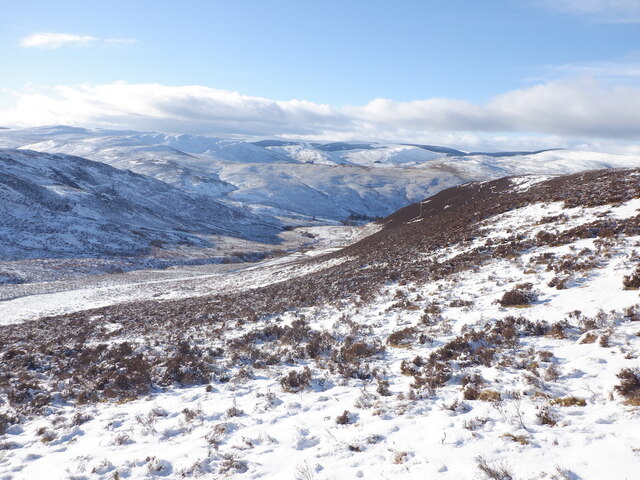
Hyndhope is a small village located in the historic county of Selkirkshire, Scotland. Situated in the eastern part of the county, it lies approximately 6 miles southeast of the town of Selkirk. The village is nestled amidst picturesque rolling hills and offers stunning views of the surrounding countryside.

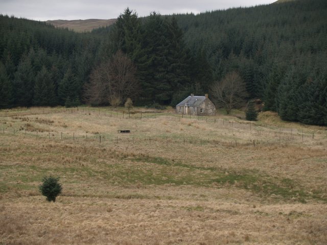
With a population of around 100 residents, Hyndhope is a close-knit community renowned for its tranquility and natural beauty. The village is primarily residential, consisting of traditional stone houses and cottages, many of which date back several centuries. These charming buildings add to the village's unique character and architectural heritage.

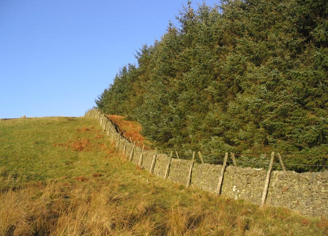
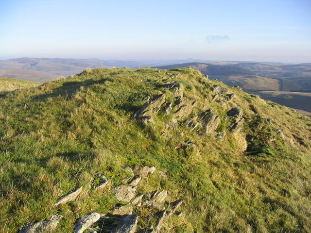
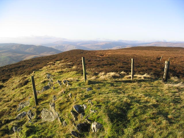
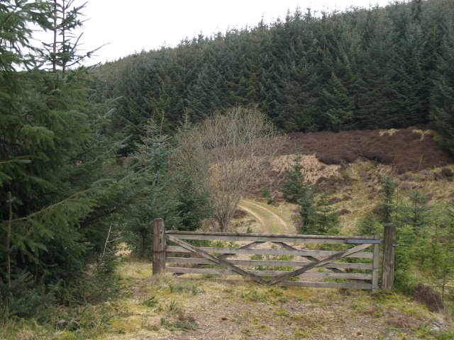
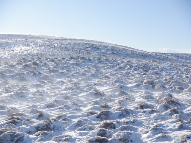
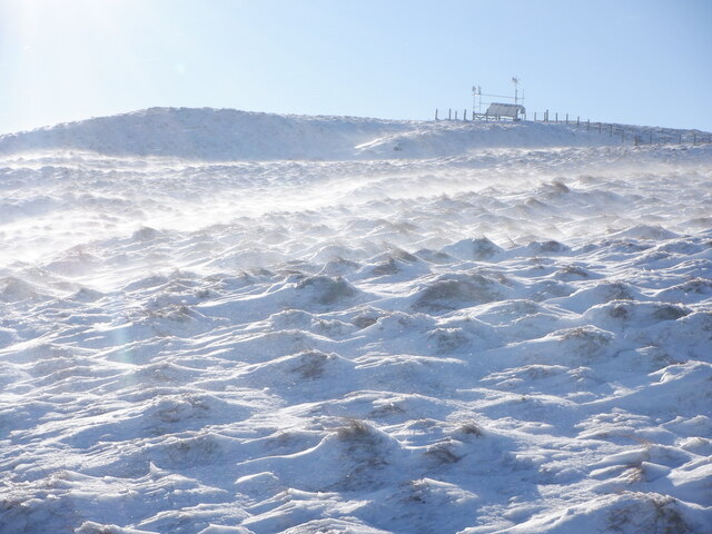
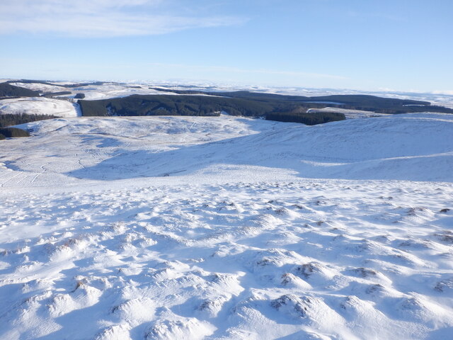
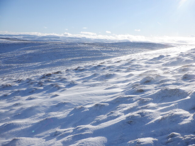
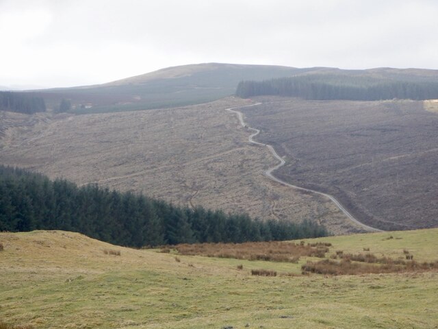
Hyndhope is surrounded by lush green fields and woodland, making it an idyllic destination for nature lovers and outdoor enthusiasts. The area boasts numerous walking trails, providing ample opportunities for exploring the stunning Scottish landscape. The nearby Yarrow Water, a picturesque river, is a popular spot for fishing and picnicking.

Although small in size, Hyndhope benefits from its proximity to larger towns and cities. Selkirk, with its range of amenities including shops, schools, and healthcare facilities, is just a short drive away. Additionally, the village enjoys good transport links, with regular bus services connecting it to neighboring towns.

Overall, Hyndhope offers a peaceful and scenic retreat for those seeking a quieter way of life in the heart of rural Scotland. Its beauty, community spirit, and convenient location make it a delightful place to reside or visit.

If you have any feedback on the listing, please let us know in the comments section below.

Hyndhope Images

Images are sourced within 2km of 55.478609/-3.0141241 or Grid Reference NT3621. Thanks to Geograph Open Source API. All images are credited.

White Hill New tree planting on White Hill. A large acreage of hillside between here and Deloraineshiel has recently been planted with trees.
White Hill
New tree planting on White Hill. A large acreage of hillside between here and Deloraineshiel has recently been planted with trees.
Hyndhope Forest Looking over the tree tops near Dodhead.
Hyndhope Forest
Looking over the tree tops near Dodhead.
Dyke and plantation edge To the Northeast of White Hill.
Dyke and plantation edge
To the Northeast of White Hill.
Cairn on Hyndhope Kip Looking over to the Ettrick Valley.
Cairn on Hyndhope Kip
Looking over to the Ettrick Valley.
Mossbrae Height Stony ground near the summit.
Mossbrae Height
Stony ground near the summit.
Mossbrae Height The summit area is a blanket of heather. A cairn is marked on the Landranger Map but nothing exists on the ground.
Mossbrae Height
The summit area is a blanket of heather. A cairn is marked on the Landranger Map but nothing exists on the ground.
Dodhead An isolated (abandoned?) cottage on the edge of the Dodhead Burn
Dodhead
An isolated (abandoned?) cottage on the edge of the Dodhead Burn
Gate, Dodhead Part of the Forestry Track through Dodhead
Gate, Dodhead
Part of the Forestry Track through Dodhead
Mossbrae Height Spindrift flowing over deep heather.
Mossbrae Height
Spindrift flowing over deep heather.
Mossbrae Height Blowing snow over deep heather. There were some sheep up here.
Mossbrae Height
Blowing snow over deep heather. There were some sheep up here.
East side of Mossbrae Height
Hyndhope Kip Deep snow on deep heather. By now it was obvious that I was not going to be going much further along this broad ridge. At this time I was unaware as to how quickly for the better the underfoot conditions would change on the descent from Mossbrae Height
Hyndhope Kip
Deep snow on deep heather. By now it was obvious that I was not going to be going much further along this broad ridge. At this time I was unaware as to how quickly for the better the underfoot conditions would change on the descent from Mossbrae Height
Broadband relay, Mossbrae Height A familiar sight on a hilltop in the Borders.
Broadband relay, Mossbrae Height
A familiar sight on a hilltop in the Borders.
Mossbrae Height summit Heathery under the snow.
Mossbrae Height summit
Heathery under the snow.
Near the summit, Mossbrae Height
Hyndhope Kip Trackless deep heather and snow too. Time to head down. Very easy going was found a few minutes later heading down to Deloraineburn.
Hyndhope Kip
Trackless deep heather and snow too. Time to head down. Very easy going was found a few minutes later heading down to Deloraineburn.
Deephope Sike Easiest way up Mossbrae Height.
Deephope Sike
Easiest way up Mossbrae Height.
Logging road, White Hill
Show me another place!

Hyndhope is located at Grid Ref: NT3621 (Lat: 55.478609, Lng: -3.0141241)

Unitary Authority: The Scottish Borders

Police Authority: The Lothians and Scottish Borders

What 3 Words

///caskets.playing.nametag. Near Ettrick, Scottish Borders

Nearby Locations

Hill End Wood Hyndhope

Related Wikis

Selkirkshire

Selkirkshire or the County of Selkirk (Scottish Gaelic: Siorrachd Shalcraig) is a historic county and registration county of Scotland. It borders Peeblesshire...

Ettrickbridge

Ettrickbridge (Scottish Gaelic: Drochaid Eadaraig) is a village situated in the Scottish Borders region of Scotland, 7 miles (11 km) from the nearby town...

Kirkhope Tower

Kirkhope Tower is a Scottish Pele, located in the Ettrick Valley, in the historic county of Selkirkshire, now a division of the Scottish Borders. The tower...

Alemoor Loch

Alemoor Loch, also known as Alemoor Reservoir, is a small reservoir in the Scottish Borders area of Scotland. It is situated on the Ale Water, 10 kilometres...

Yarrow, Scottish Borders

Yarrow is a place and parish in the Scottish Borders area of Scotland and in the former county of Selkirkshire.The name "Yarrow" may derive from the Celtic...

Tushielaw Tower

Tushielaw Tower is a 16th-century tower house, about 2.5 miles (4.0 km) north and east of Ettrick, Scottish Borders, Scotland, and west of Ettrick Water...

Oakwood Roman Fort and Camp

Oakwood Roman Fort and Camp is a British archaeological site, a Roman fort and nearby Roman camp, about 3.5 miles (5.6 km) south-west of Selkirk in the...

Aikwood Tower

Aikwood Tower (formerly known as Oakwood Tower) is a 16th-century tower house in the Scottish Borders area of Scotland, 4 miles (6 kilometres) southwest...

Nearby Amenities

Located within 500m of 55.478609,-3.0141241
Material: wood
Power: pole
Transformer: distribution
Lat/Long: 55.4809891/-3.0124238
Material: wood
Power: pole
Lat/Long: 55.4803005/-3.0128771
Material: wood
Power: pole
Lat/Long: 55.4795329/-3.0130434
Material: wood
Power: pole
Lat/Long: 55.4790009/-3.0213985
Material: wood
Power: pole
Lat/Long: 55.4789599/-3.0202425
Material: wood
Power: pole
Lat/Long: 55.4788808/-3.0179116
Material: wood
Power: pole
Lat/Long: 55.4788307/-3.0165356
Material: wood
Power: pole
Lat/Long: 55.4787668/-3.014937
Material: wood
Power: pole
Lat/Long: 55.4787075/-3.0133867
Material: wood
Power: pole
Lat/Long: 55.4786604/-3.0119008
Material: wood
Power: pole
Lat/Long: 55.4789781/-3.0107072
Material: wood
Power: pole
Lat/Long: 55.4792943/-3.0095029
Material: wood
Power: pole
Lat/Long: 55.4795983/-3.00832
Material: wood
Power: pole
Lat/Long: 55.4799182/-3.0070889
The data included in this document is from www.openstreetmap.org. The data is made available under ODbL.

Have you been to Hyndhope?

Leave your review of Hyndhope below (or comments, questions and feedback).