Common Wood
Wood, Forest in Midlothian
Scotland
Common Wood
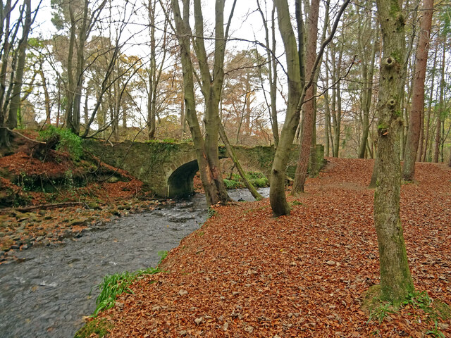
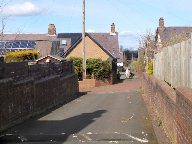
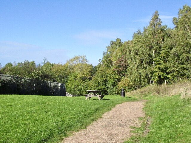
Common Wood is a woodland area located in Midlothian, Scotland. Situated in the region known as the Scottish Borders, this forest covers an area of approximately 200 acres. The wood is characterized by a diverse range of tree species, including oak, birch, beech, and pine, creating a rich and varied ecosystem.
The woodland is known for its natural beauty and is a popular destination for outdoor enthusiasts and nature lovers. It offers a peaceful retreat away from the hustle and bustle of urban life, providing ample opportunities for walking, hiking, and wildlife spotting. There are several well-maintained trails that wind through the forest, allowing visitors to explore the area at their own pace and enjoy the tranquility of the surroundings.
Common Wood is home to a variety of wildlife, including deer, squirrels, and a wide array of bird species. Birdwatchers often visit the forest to catch glimpses of rare species such as the black grouse and the red kite. The woodland also supports a diverse range of plant life, with wildflowers, ferns, and mosses adding to its natural charm.
In addition to its recreational and ecological value, Common Wood has historical significance as well. The remains of an ancient Roman road can be found within the forest, providing a glimpse into the area's past. The wood has also been managed sustainably for timber production, contributing to the local economy and ensuring the long-term viability of the woodland.
Overall, Common Wood in Midlothian is a picturesque and biodiverse forest that offers visitors a chance to reconnect with nature and explore the region's natural heritage.
If you have any feedback on the listing, please let us know in the comments section below.
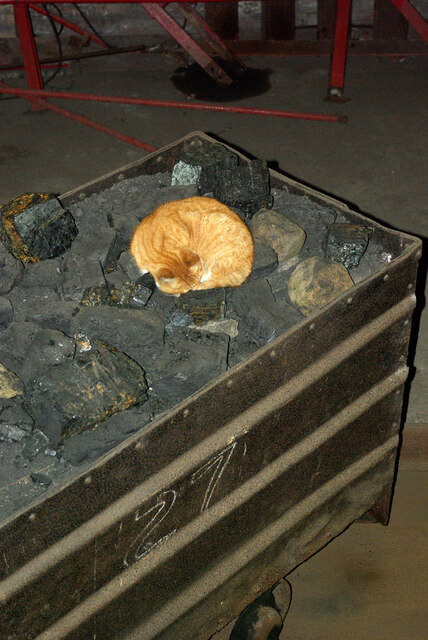
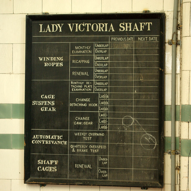
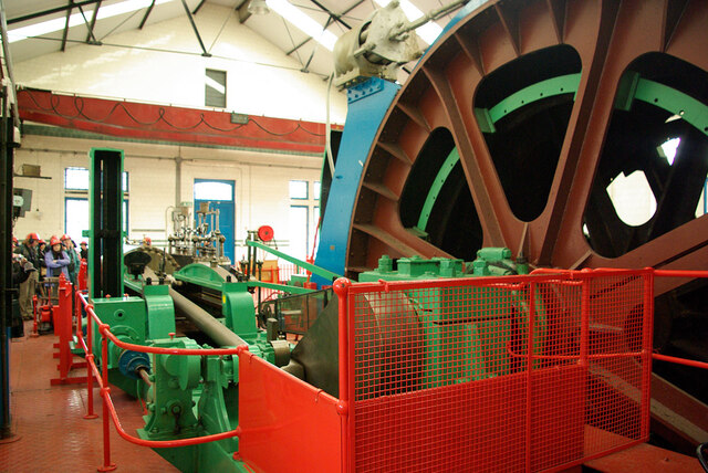
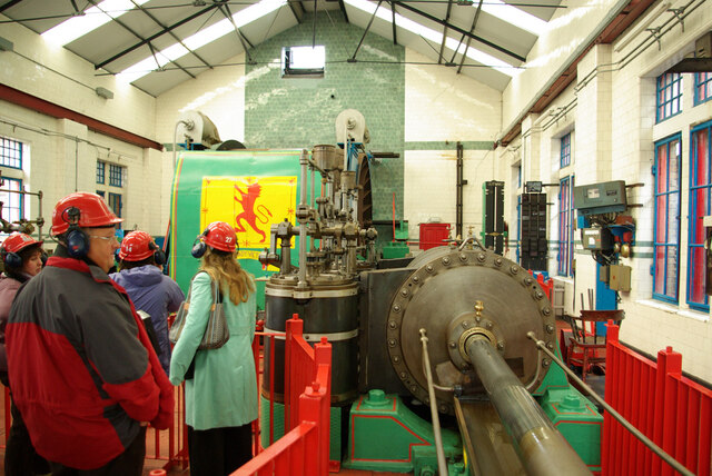
Common Wood Images
Images are sourced within 2km of 55.854851/-3.04392 or Grid Reference NT3462. Thanks to Geograph Open Source API. All images are credited.


Common Wood is located at Grid Ref: NT3462 (Lat: 55.854851, Lng: -3.04392)
Unitary Authority: Midlothian
Police Authority: The Lothians and Scottish Borders
What 3 Words
///mole.loyal.pens. Near Gorebridge, Midlothian
Nearby Locations
Related Wikis

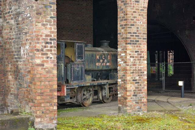
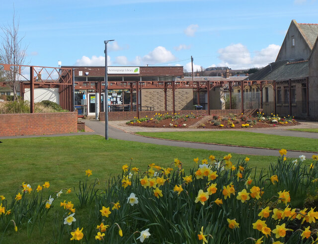
Gorebridge
Gorebridge is a former mining village in Midlothian, Scotland. Gorebridge has an annual Gala Day which always takes place on the 3rd Saturday in June....

Newbyres Castle
Newbyres Castle was a 16th-century tower house, in Gorebridge, Midlothian, Scotland, west of the main street. The tower occupied a roughly triangular position...
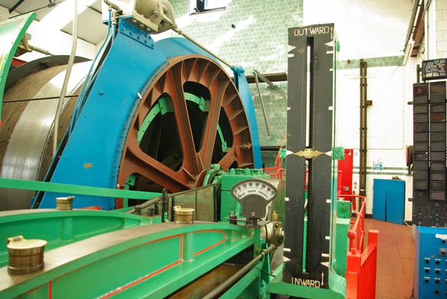
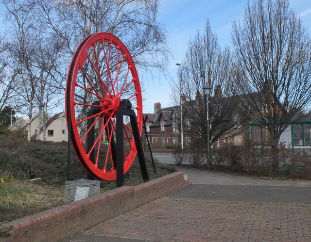
National Mining Museum Scotland
The National Mining Museum Scotland was created in 1984, to preserve the physical surface remains of Lady Victoria Colliery at Newtongrange, Midlothian...

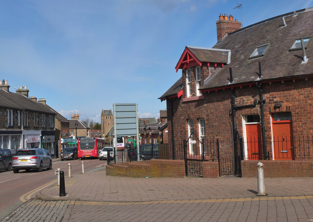
Gorebridge railway station
Gorebridge is a railway station on the Borders Railway, which runs between Edinburgh Waverley and Tweedbank. The station, situated 11 miles 77 chains...

Mayfield, Midlothian
Mayfield is a community in Midlothian, Scotland, located just south of Dalkeith near Edinburgh between the A68 and the A7 south. It had an estimated population...

Newtongrange railway station
Newtongrange is a railway station on the Borders Railway, which runs between Edinburgh Waverley and Tweedbank. The station, situated 11 miles 77 chains...

Newbattle
Newbattle (from Neubotle, i.e. new dwelling) is a village and civil parish in Midlothian, in the ancient Roman Catholic Diocese of St. Andrews, about seven...

Newtongrange
Newtongrange () is a former mining village in Midlothian, Scotland. Known in local dialect as Nitten, or Nitten by the Bing (), it became Scotland's largest...
Nearby Amenities
Located within 500m of 55.854851,-3.04392Have you been to Common Wood?
Leave your review of Common Wood below (or comments, questions and feedback).