Drumnod Wood

Wood, Forest in Fife

Scotland

Drumnod Wood

Road by Creich Inexplicably part of the Fife Coast Path.
Road by Creich Credit: Richard Webb

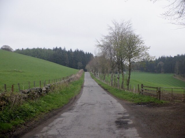
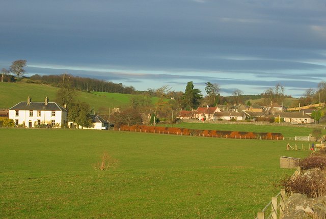
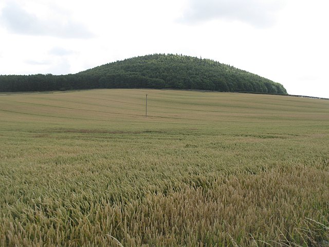
Drumnod Wood is a picturesque forest located in the region of Fife, Scotland. Covering an area of approximately 50 hectares, it is a popular destination for nature lovers and outdoor enthusiasts alike. The wood is situated near the village of Auchtermuchty and is easily accessible by car or foot.

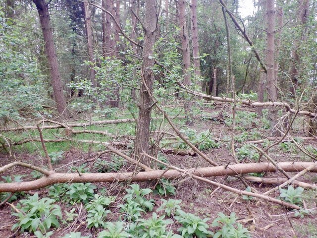
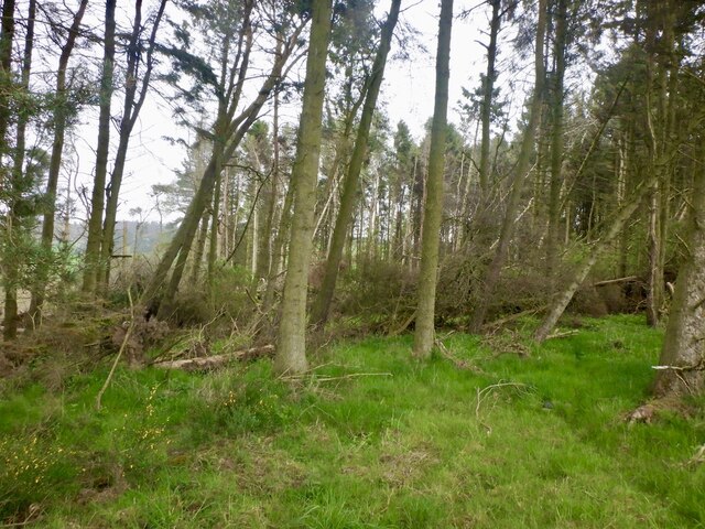
The forest boasts a diverse range of tree species, including oak, birch, and beech, creating a vibrant and lush environment. Its dense vegetation provides a habitat for numerous wildlife species, such as red squirrels, roe deer, and a variety of bird species, making it a haven for wildlife enthusiasts and birdwatchers.

Drumnod Wood offers several well-maintained walking trails that cater to all levels of fitness and interest. These trails wind through the forest, offering visitors the chance to immerse themselves in its natural beauty. In spring, the woodland floor is adorned with a carpet of bluebells, creating a stunning display of color.

As a designated Site of Special Scientific Interest (SSSI), Drumnod Wood is recognized for its ecological importance and conservation value. The wood is carefully managed to protect its diverse ecosystem and ensure its longevity for future generations.

Visitors to Drumnod Wood can enjoy a peaceful and tranquil atmosphere, away from the hustle and bustle of everyday life. Whether it's a leisurely stroll, birdwatching, or simply enjoying the beauty of nature, this enchanting forest offers something for everyone.

If you have any feedback on the listing, please let us know in the comments section below.

Drumnod Wood Images

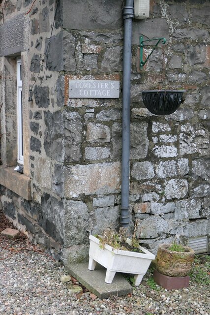
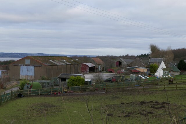
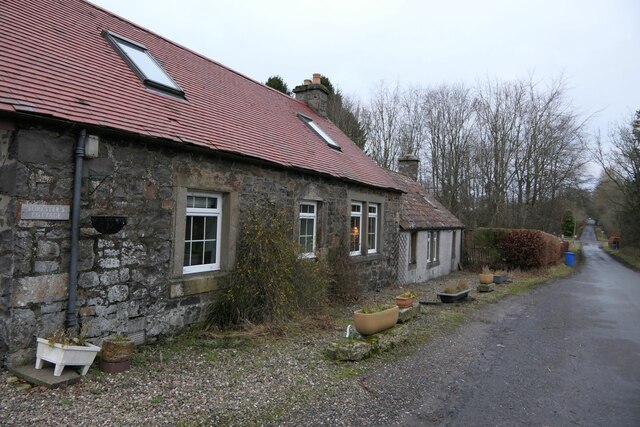
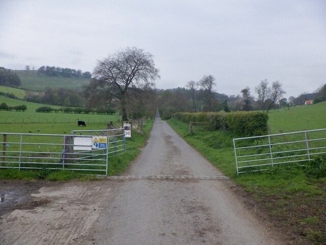
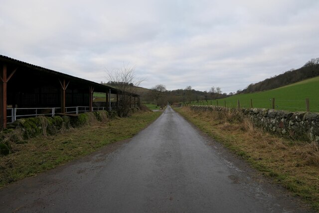
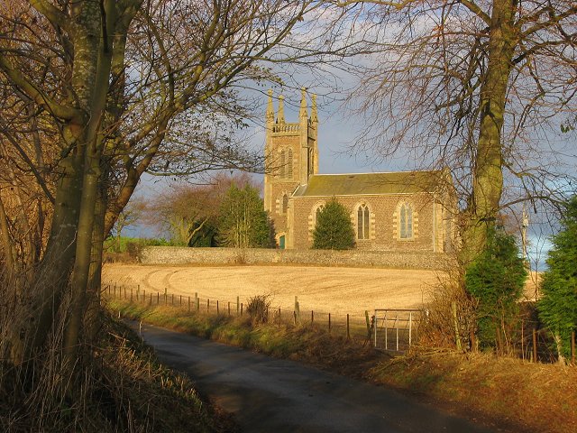
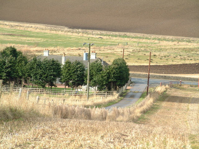
Images are sourced within 2km of 56.377761/-3.074712 or Grid Reference NO3321. Thanks to Geograph Open Source API. All images are credited.

Road by Creich Inexplicably part of the Fife Coast Path.
Road by Creich
Inexplicably part of the Fife Coast Path.
Summit area, Starr Law
Windthrow A strip wood on the slopes of Starr Law.
Windthrow
A strip wood on the slopes of Starr Law.
Benchmark location, East Flisk This benchmark took quite a bit of finding.  We covered it back up as best we could once we had photographed it.  The original stone has been dislodged and the benchmark is lying on its side.
Benchmark location, East Flisk
This benchmark took quite a bit of finding. We covered it back up as best we could once we had photographed it. The original stone has been dislodged and the benchmark is lying on its side.
Forester's Cottage sign There is an Ordnance Survey benchmark just visible on photo on large stone between house sign and plant pot.
Forester's Cottage sign
There is an Ordnance Survey benchmark just visible on photo on large stone between house sign and plant pot.
East Flisk Farm On south side of River Tay.
East Flisk Farm
On south side of River Tay.
Benchmark on Forester's Cottage, Hazelton Walls Ordnance Survey benchmark, described on database at <span class="nowrap"><a title="https://www.bench-marks.org.uk/bm37777" rel="nofollow ugc noopener" href="https://www.bench-marks.org.uk/bm37777">Link</a><img style="margin-left:2px;" alt="External link" title="External link - shift click to open in new window" src="https://s1.geograph.org.uk/img/external.png" width="10" height="10"/></span>.
Benchmark on Forester's Cottage, Hazelton Walls
Ordnance Survey benchmark, described on database at LinkExternal link.
Ordnance Survey benchmark on fallen stone, East Flisk Described on database at <span class="nowrap"><a title="https://www.bench-marks.org.uk/bm211340" rel="nofollow ugc noopener" href="https://www.bench-marks.org.uk/bm211340">Link</a><img style="margin-left:2px;" alt="External link" title="External link - shift click to open in new window" src="https://s1.geograph.org.uk/img/external.png" width="10" height="10"/></span>.  See also <a href="https://www.geograph.org.uk/photo/7687235">NO3222 : Benchmark location, East Flisk</a>.
Ordnance Survey benchmark on fallen stone, East Flisk
Described on database at LinkExternal link. See also NO3222 : Benchmark location, East Flisk.
Forester's Cottage, Hazelton Walls There is an Ordnance Survey benchmark on this cottage. See <a href="https://www.geograph.org.uk/photo/7687257">NO3321 : Benchmark on Forester's Cottage, Hazelton Walls</a>.
Forester's Cottage, Hazelton Walls
There is an Ordnance Survey benchmark on this cottage. See NO3321 : Benchmark on Forester's Cottage, Hazelton Walls.
Carphin drive At Lower Luthrie.
Carphin drive
At Lower Luthrie.
Gate and gatepost, Lower Luthrie Farm There is a rivet benchmark on this old gatepost. See also <a href="https://www.geograph.org.uk/photo/7687263">NO3319 : Rivet bencmark on gatepost, Lower Luthrie Farm</a>.
Gate and gatepost, Lower Luthrie Farm
There is a rivet benchmark on this old gatepost. See also NO3319 : Rivet bencmark on gatepost, Lower Luthrie Farm.
Road west at Lower Luthrie Farm
Rivet bencmark on gatepost, Lower Luthrie Farm Ordnance Survey rivet benchmark, described on database at <span class="nowrap"><a title="https://www.bench-marks.org.uk/bm211278" rel="nofollow ugc noopener" href="https://www.bench-marks.org.uk/bm211278">Link</a><img style="margin-left:2px;" alt="External link" title="External link - shift click to open in new window" src="https://s1.geograph.org.uk/img/external.png" width="10" height="10"/></span>. See also <a href="https://www.geograph.org.uk/photo/7687231">NO3319 : Gate and gatepost, Lower Luthrie Farm</a>.
Rivet bencmark on gatepost, Lower Luthrie Farm
Ordnance Survey rivet benchmark, described on database at LinkExternal link. See also NO3319 : Gate and gatepost, Lower Luthrie Farm.
Luthrie Village and farmland.
Luthrie
Village and farmland.
Creich Kirk. The church is outside the village of Luthrie, above it to the north. Built to replace the now ruined church to the north.
Creich Kirk.
The church is outside the village of Luthrie, above it to the north. Built to replace the now ruined church to the north.
Farm road T-junction The junction of the Cairnie farm road and the A92 trunk road, just north of Murdochcairnie Hill
Farm road T-junction
The junction of the Cairnie farm road and the A92 trunk road, just north of Murdochcairnie Hill
Murdochcairnie Hill Large wheat field beneath Murdochcairnie Hill. The steeper land is wooded.
Murdochcairnie Hill
Large wheat field beneath Murdochcairnie Hill. The steeper land is wooded.
Creich School Luthrie
Show me another place!

Drumnod Wood is located at Grid Ref: NO3321 (Lat: 56.377761, Lng: -3.074712)

Unitary Authority: Fife

Police Authority: Fife

What 3 Words

///tags.suitably.nodded. Near Cupar, Fife

Nearby Locations

Drumnod Wood Black Craig

Related Wikis

Creich, Fife

Creich (Scottish Gaelic: Craoich, pronounced [kʰɾɯːç]; OS: Criech), is a hamlet in Fife, Scotland.The local parish is named after Creich. The ruins of...

Luthrie

Luthrie is a village in the parish of Creich in Fife, Scotland. A small stream shown on maps as Windygates Burn (but known locally as Luthrie Burn) flows...

Flisk

Flisk (Scottish Gaelic: Fleasg meaning "Stalk" or "Rod") was a parish in Fife, Scotland. According to the 1853 Gazetteer, in part: "Flisk parish is bounded...

Birkhill Castle

Birkhill Castle is a stately home, the residence of the Earl of Dundee, located on the banks of the River Tay, a short drive from St. Andrews. The castle...

Nearby Amenities

Located within 500m of 56.377761,-3.074712
Drumnod
Place: locality
Lat/Long: 56.37828/-3.070502
Power: pole
Lat/Long: 56.3814255/-3.0786429
Power: pole
Lat/Long: 56.3808896/-3.0781754
Power: pole
Lat/Long: 56.3803617/-3.0777204
Power: pole
Lat/Long: 56.3798372/-3.0772674
Power: pole
Lat/Long: 56.379197/-3.0768538
Power: pole
Lat/Long: 56.378566/-3.0764546
Power: pole
Lat/Long: 56.377975/-3.0756521
Power: pole
Lat/Long: 56.3780712/-3.0745476
Power: pole
Lat/Long: 56.3781571/-3.0736313
Power: pole
Lat/Long: 56.378259/-3.0723303
Power: pole
Lat/Long: 56.3783701/-3.0710666
Power: pole
Lat/Long: 56.3785018/-3.0703261
The data included in this document is from www.openstreetmap.org. The data is made available under ODbL.

Have you been to Drumnod Wood?

Leave your review of Drumnod Wood below (or comments, questions and feedback).