Alltcailleach Forest

Wood, Forest in Aberdeenshire

Scotland

Alltcailleach Forest

Coyles Cottage & The Coyles of Muick This tiny bothy on the eastern flank of Meall Dubh began life in November 2001 when three members of NEKF decided to make a shelter as a survival exercise and was named Coyles Cottage. Although difficult to see unless almost upon it, over the years it has had many visitors and grown more substantial as others have added to its construction. The Coyles of Muick can be seen in the distance.
Coyles Cottage & The Coyles of Muick Credit: Keith Grinsted

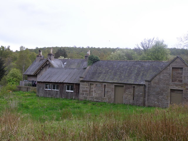
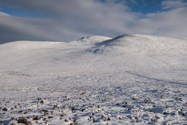
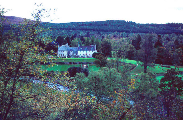
Alltcailleach Forest is a pristine woodland located in Aberdeenshire, Scotland. Stretching over an area of approximately 200 hectares, it offers a serene and enchanting setting for nature enthusiasts and outdoor adventurers.

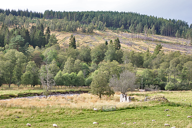
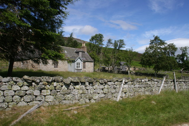
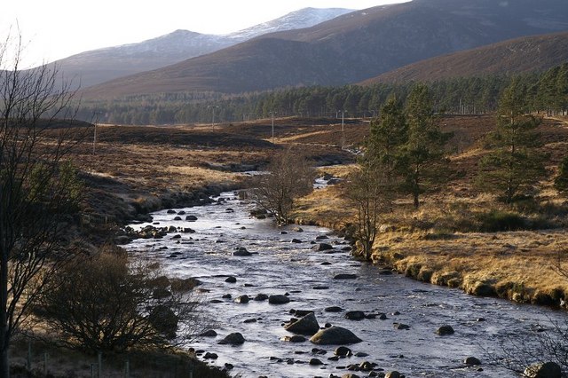
The forest is characterized by its diverse range of tree species, including Scots pine, birch, oak, and rowan. The dense tree cover creates a cool and shaded environment, providing a refuge for a variety of wildlife. Visitors may encounter red squirrels, roe deer, and a plethora of bird species, such as woodpeckers and tawny owls.

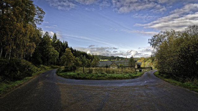
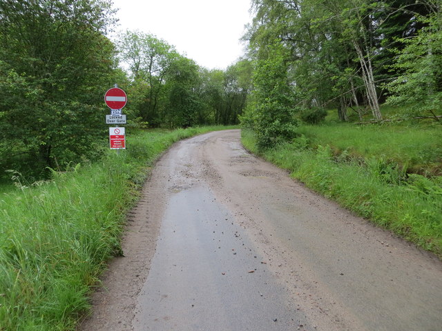
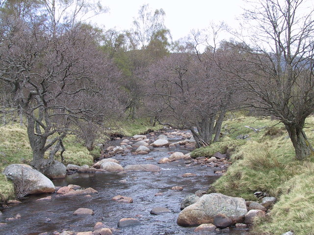
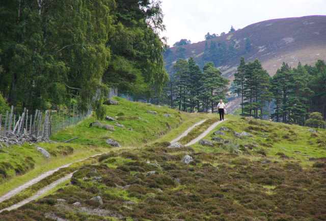
Traversing through Alltcailleach Forest, visitors can explore a network of well-maintained paths and trails, catering to both leisurely strolls and more adventurous hikes. The paths wind through the forest, offering glimpses of picturesque glades, babbling streams, and moss-covered rocks. The forest's tranquility allows visitors to immerse themselves in its natural beauty, providing a perfect escape from the hustle and bustle of everyday life.

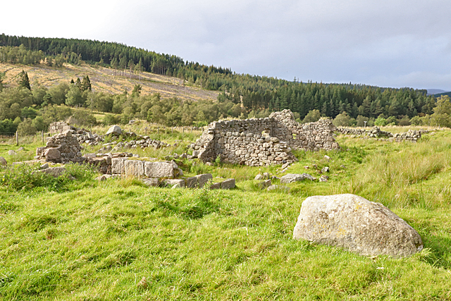
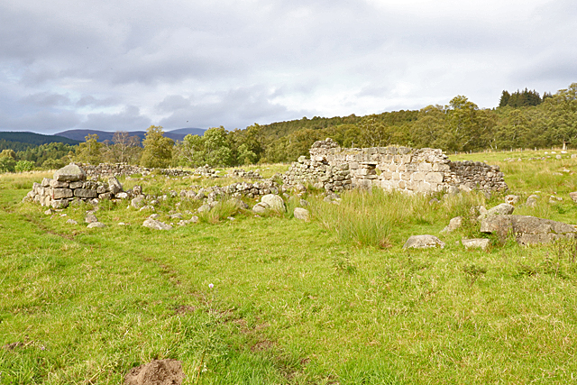
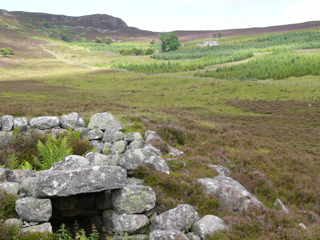
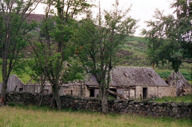
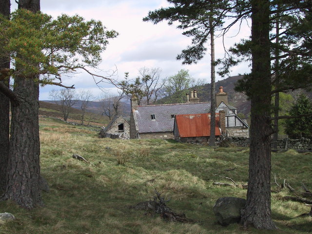
The forest is also known for its historical significance. The remains of an ancient fort can be found within its boundaries, dating back to the Iron Age. This archeological site adds an intriguing dimension to the forest, showcasing its rich cultural heritage.

Alltcailleach Forest is easily accessible by car, with ample parking facilities available. It is a popular destination for nature lovers, hikers, and families seeking outdoor activities. The combination of its scenic beauty, abundant wildlife, and historical significance makes Alltcailleach Forest a must-visit destination for anyone looking to connect with nature in Aberdeenshire.

If you have any feedback on the listing, please let us know in the comments section below.

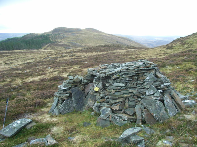
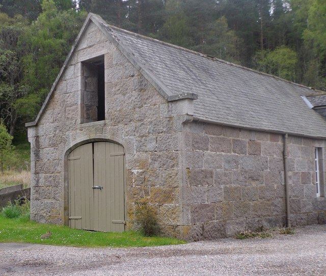
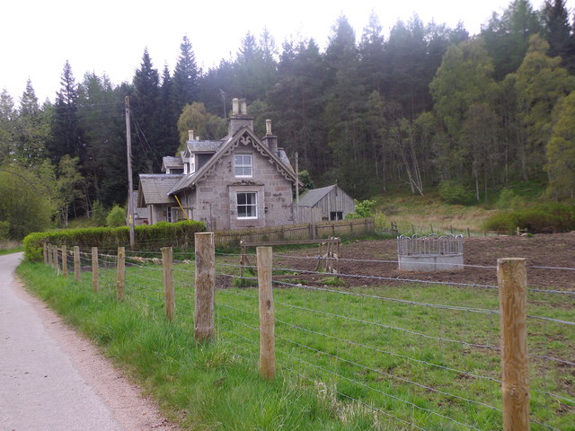
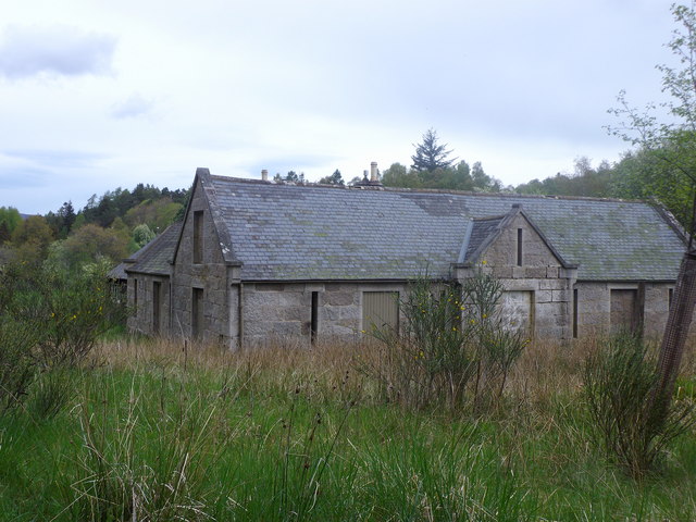
Alltcailleach Forest Images

Images are sourced within 2km of 57.017459/-3.1048294 or Grid Reference NO3392. Thanks to Geograph Open Source API. All images are credited.

Coyles Cottage & The Coyles of Muick This tiny bothy on the eastern flank of Meall Dubh began life in November 2001 when three members of NEKF decided to make a shelter as a survival exercise and was named Coyles Cottage. Although difficult to see unless almost upon it, over the years it has had many visitors and grown more substantial as others have added to its construction. The Coyles of Muick can be seen in the distance.
Coyles Cottage & The Coyles of Muick
This tiny bothy on the eastern flank of Meall Dubh began life in November 2001 when three members of NEKF decided to make a shelter as a survival exercise and was named Coyles Cottage. Although difficult to see unless almost upon it, over the years it has had many visitors and grown more substantial as others have added to its construction. The Coyles of Muick can be seen in the distance.
Steading at Mill of Sterin Near Birkhall
Steading at Mill of Sterin
Near Birkhall
House at Mill of Sterin From the minor road on the north side of the Water of Muick.
House at Mill of Sterin
From the minor road on the north side of the Water of Muick.
Mill of Sterin outbuilding Former mill near Water of Muick.
Mill of Sterin outbuilding
Former mill near Water of Muick.
Millhouse and old Mill Mill of Sterin, Glenmuick.
Millhouse and old Mill
Mill of Sterin, Glenmuick.
Switchback at the Mill of Sterin
Glen Girnock Looking across Glen Girnock towards Meall Dubh
Glen Girnock
Looking across Glen Girnock towards Meall Dubh
Track leading to Alltcailleach Looking south-eastward.
Track leading to Alltcailleach
Looking south-eastward.
Mill of Aucholzie The ruin is not named on modern maps, but the 19th century six-inch maps name it and show that there was a corn mill here.
Mill of Aucholzie
The ruin is not named on modern maps, but the 19th century six-inch maps name it and show that there was a corn mill here.
Ruin at Mill of Aucholzie I think this fragment of masonry may be what is marked on the 19th century maps as a corn mill.
Ruin at Mill of Aucholzie
I think this fragment of masonry may be what is marked on the 19th century maps as a corn mill.
Mill of Aucholzie The ruins of a fairly extensive steading, as shown on the mid-19th century six-inch map <span class="nowrap"><a title="https://maps.nls.uk/geo/explore/#zoom=18&lat=57.0175&lon=-3.0715&layers=5&b=1" rel="nofollow ugc noopener" href="https://maps.nls.uk/geo/explore/#zoom=18&lat=57.0175&lon=-3.0715&layers=5&b=1">Link</a><img style="margin-left:2px;" alt="External link" title="External link - shift click to open in new window" src="https://s1.geograph.org.uk/img/external.png" width="10" height="10"/></span>.
Mill of Aucholzie
The ruins of a fairly extensive steading, as shown on the mid-19th century six-inch map LinkExternal link.
The Coyles of Muick and Ballater from Tullich kirkyard.
Loinveg in Glen Girnock
The Camlet Lime kiln in Glen Girnock
The Girnoc burn The little rushing burn at Linquoch
The Girnoc burn
The little rushing burn at Linquoch
Loinveg steading in 2001
The Girnoc track
The Girnoc track
Loinveg from the trees
Show me another place!

Alltcailleach Forest is located at Grid Ref: NO3392 (Lat: 57.017459, Lng: -3.1048294)

Unitary Authority: Aberdeenshire

Police Authority: North East

What 3 Words

///slugs.paces.timidly. Near Ballater, Aberdeenshire

Nearby Locations

Alltcailleach Forest

Related Wikis

Nearby Amenities

Located within 500m of 57.017459,-3.1048294
Craig of Loinmuie
Ele: 540
Natural: peak
Lat/Long: 57.0139198/-3.1022669
The data included in this document is from www.openstreetmap.org. The data is made available under ODbL.

Have you been to Alltcailleach Forest?

Leave your review of Alltcailleach Forest below (or comments, questions and feedback).