Black Hillocks Wood
Wood, Forest in Angus
Scotland
Black Hillocks Wood
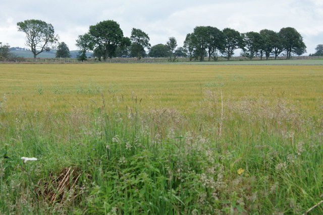
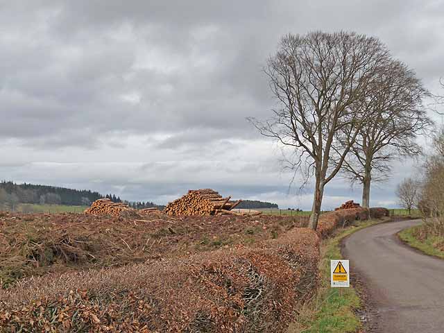
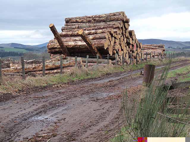
Black Hillocks Wood is a stunning forest located in Angus, Scotland. Covering an area of approximately 200 hectares, this woodland is known for its rich biodiversity and picturesque landscape. It is situated near the village of Tannadice, just a few miles east of Forfar.
The wood is dominated by a variety of tree species, including Scots pine, silver birch, oak, and rowan. These trees create a dense canopy, providing a sheltered habitat for numerous animal and bird species. The forest floor is covered with a diverse range of plants, such as bluebells, wood sorrel, and ferns, adding to the area's natural beauty.
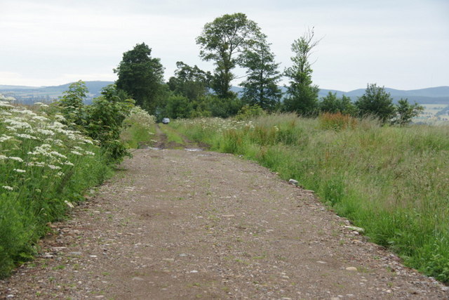
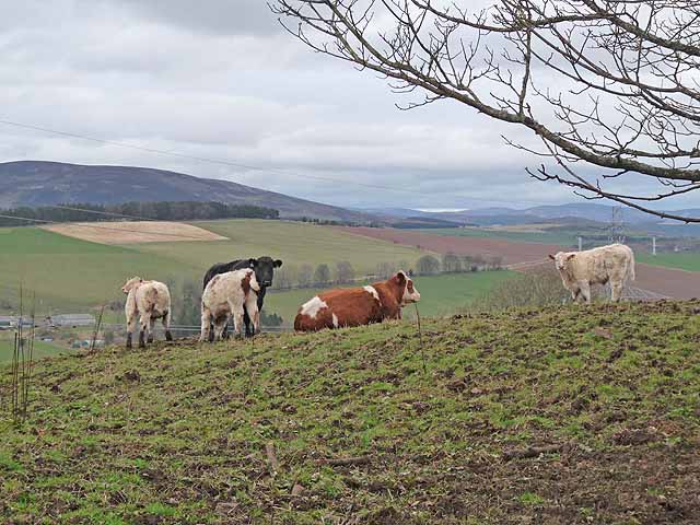
Black Hillocks Wood offers several walking trails that allow visitors to explore its enchanting surroundings. The paths wind through the forest, offering glimpses of the wildlife that call this place home. Red squirrels, roe deer, and various bird species, including woodpeckers and buzzards, can often be spotted by keen observers.
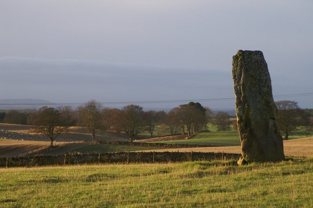
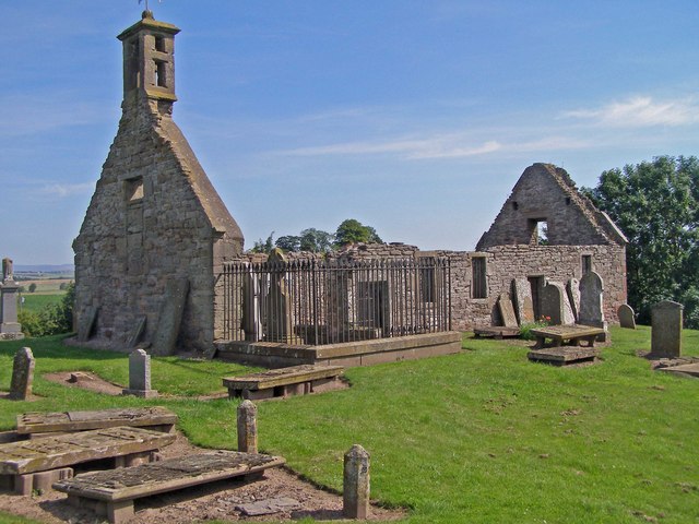
In addition to its natural beauty, Black Hillocks Wood also has historical significance. The remains of ancient settlements, stone circles, and burial mounds can be found within the forest, providing a fascinating glimpse into the area's past.
Overall, Black Hillocks Wood is a captivating destination for nature enthusiasts and history buffs alike. Its diverse flora and fauna, coupled with its serene atmosphere, make it a must-visit location for anyone seeking an immersive woodland experience in Angus.
If you have any feedback on the listing, please let us know in the comments section below.
Black Hillocks Wood Images
Images are sourced within 2km of 56.651636/-3.0944317 or Grid Reference NO3251. Thanks to Geograph Open Source API. All images are credited.


Black Hillocks Wood is located at Grid Ref: NO3251 (Lat: 56.651636, Lng: -3.0944317)
Unitary Authority: Angus
Police Authority: Tayside
What 3 Words
///lush.winded.strongman. Near Kirriemuir, Angus
Nearby Locations
Related Wikis

Airlie Parish Kirk
Airlie Parish Kirk is a church in Airlie, Angus. It was completed in 1783 and dedicated to St. Meddan. The interior was renovated in 1893. The church contains...
Airlie, Angus
Airlie (Scottish Gaelic: Iarlaidh) is a civil parish in the Scottish council area of Angus. It is the seat of the Earl of Airlie, and the location of...

Balfour Castle, Angus
Balfour Castle was a baronial mansion at Balfour Mains, near Kirkton of Kingoldrum, Angus, Scotland. The castle which was built in the 16th century is...

Kirkton of Kingoldrum
Kirkton of Kingoldrum is a village in Angus, Scotland. It lies in approximately four miles (6 km) west of Kirriemuir on the B951 road. == References ==

Airlie Castle
Airlie Castle is a mansion house in the parish of Airlie, Angus, near the junction of the Isla and Melgund rivers, 9 kilometres west of Kirriemuir, Angus...

Loch of Kinnordy
Loch of Kinnordy is a small loch located just west of town of Kirriemuir in Angus, Scotland, which is an important wildlife habitat. The loch itself is...
Eassie Old Church
Eassie Old Church is a ruined 13th-century parish church located near the village of Eassie in Angus, Scotland. Erected in the corner of the church is...

Eassie Stone
The Eassie Stone is a Class II Pictish stone of about the mid 8th century AD in the village of Eassie, Angus, Scotland. The stone was found in Eassie burn...
Have you been to Black Hillocks Wood?
Leave your review of Black Hillocks Wood below (or comments, questions and feedback).