Leven Brae Plantation

Wood, Forest in Fife

Scotland

Leven Brae Plantation

Byresloan A vicious looking cumulonimbus behind Byresloan.
Byresloan Credit: Richard Webb

Leven Brae Plantation is a picturesque woodland located in the county of Fife, Scotland. Situated in the Leven Valley, just a few miles north of the town of Leven, it covers an area of approximately 100 acres. The plantation is known for its beautiful and diverse range of trees, making it a popular destination for nature enthusiasts and walkers alike.

The woodland is predominantly made up of native species, including oak, birch, beech, and pine trees. These towering trees create a dense canopy, providing a haven for a variety of wildlife. Visitors may spot red squirrels, roe deer, and a range of bird species, such as woodpeckers and jays.

Leven Brae Plantation offers several well-maintained walking trails that wind through the woodland, allowing visitors to explore its natural beauty. The paths are marked and provide a peaceful and tranquil atmosphere, making it an ideal place for a leisurely stroll or a family outing. The walkways meander alongside a small stream, adding to the charm of the surroundings.

The plantation is easily accessible, with a car park located nearby, and it is open to the public all year round. Visitors are encouraged to respect the natural environment and take care to leave no trace of their visit. Leven Brae Plantation offers a serene escape from the hustle and bustle of everyday life, providing an opportunity to reconnect with nature in the heart of Fife.

If you have any feedback on the listing, please let us know in the comments section below.

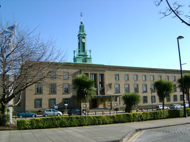
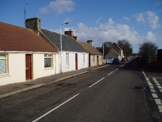
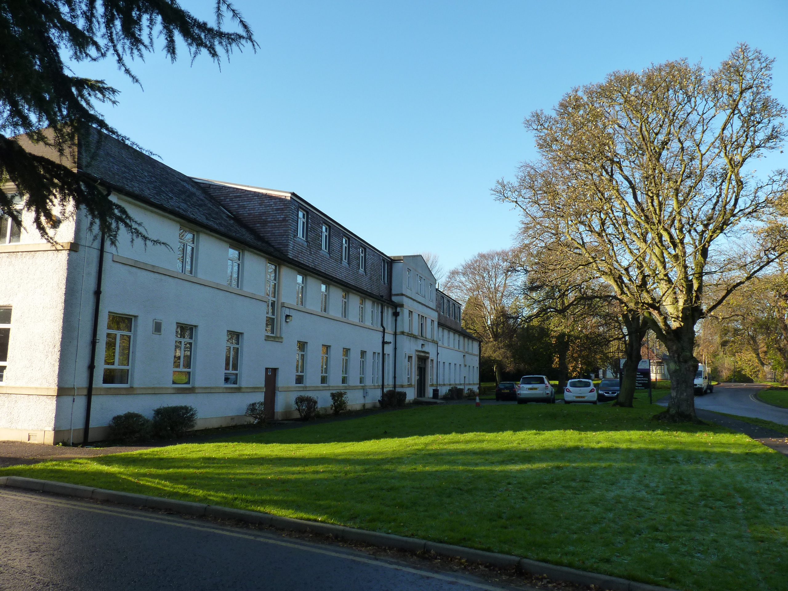
Leven Brae Plantation Images

Images are sourced within 2km of 56.190534/-3.0809442 or Grid Reference NO3300. Thanks to Geograph Open Source API. All images are credited.

Byresloan A vicious looking cumulonimbus behind Byresloan.
Byresloan
A vicious looking cumulonimbus behind Byresloan.
Arable land, Balfour A long view towards Largo Law.
Arable land, Balfour
A long view towards Largo Law.
Oilseed rape, Balgonie A view of the Lomond Hills from the east.
Oilseed rape, Balgonie
A view of the Lomond Hills from the east.
Polytunnels, Woodbank The soft fruit season has come round again and of course it was cold and wet.
Polytunnels, Woodbank
The soft fruit season has come round again and of course it was cold and wet.
Arable land near Windygates Looking over cereals towards Cameron Hospital.
Arable land near Windygates
Looking over cereals towards Cameron Hospital.
Balfour Mains The farm buildings appear to have been abandoned since <a href="https://www.geograph.org.uk/photo/406497">NT3299 : Cattle</a> was taken.
Balfour Mains
The farm buildings appear to have been abandoned since NT3299 : Cattle was taken.
Abandoned farm Derelict buildings at Balfour Mains Farm.
Abandoned farm
Derelict buildings at Balfour Mains Farm.
Ripening wheat An arable field near Balfour Mains farm with Largo Law in the distance.
Ripening wheat
An arable field near Balfour Mains farm with Largo Law in the distance.
Woodbank Farm Trig Point Parked near farm entranced, then walked back along road and then under 2 hedges to bag this trig which is now hidden in the hedge between two cereal fields.
Woodbank Farm Trig Point
Parked near farm entranced, then walked back along road and then under 2 hedges to bag this trig which is now hidden in the hedge between two cereal fields.
Cameron Farm by Buckhaven Prime farmland just outside Buckhaven. Cameron farm on the left and looking north towards Cameron Bridge.
Cameron Farm by Buckhaven
Prime farmland just outside Buckhaven. Cameron farm on the left and looking north towards Cameron Bridge.
Woodbank Farm
Woodbank Farm
Little Lun Farm
Little Lun Farm
Cameron Hospital One of the wards at Cameron Hospital
Cameron Hospital
One of the wards at Cameron Hospital
Byresloan Farm Seen from the west
Byresloan Farm
Seen from the west
Wemyss Wood A tiny part of the closest corner of the wood to the camera in is square NT3198 but almost all of the trees visible here are in NO3298
Wemyss Wood
A tiny part of the closest corner of the wood to the camera in is square NT3198 but almost all of the trees visible here are in NO3298
Farmland Looking eastwards towards Windygates
Farmland
Looking eastwards towards Windygates
Cattle At Balfour Mains.
Cattle
At Balfour Mains.
Farmland A view northwest to West and East Lomond.
Farmland
A view northwest to West and East Lomond.
Show me another place!

Leven Brae Plantation is located at Grid Ref: NO3300 (Lat: 56.190534, Lng: -3.0809442)

Unitary Authority: Fife

Police Authority: Fife

What 3 Words

///bump.reap.full. Near Windygates, Fife

Nearby Locations

Leven Brae Plantation

Related Wikis

Kirkcaldy (district)

Kirkcaldy (Scottish Gaelic: Dùn Phàrlain, Scots: Dunfaurlin) was a local government district in the Fife region of Scotland from 1975 to 1996. The district...

Milton of Balgonie

Milton of Balgonie () is a small village in central Fife, Scotland. It is situated 2 miles (3.2 km) east of Glenrothes between the nearby villages of Markinch...

Cameron Bridge

Cameron Bridge is a village in the conurbation of Levenmouth in Fife, Scotland. It is near to the village of Windygates and 2 miles (3 kilometres) west...

Cameron Hospital

Cameron Hospital is a health facility in Cameron Road, Windygates, Fife, Scotland. It is managed by NHS Fife. The original building, known as Haig House...

Nearby Amenities

Located within 500m of 56.190534,-3.0809442
Power: tower
Lat/Long: 56.1880121/-3.0752437
Power: tower
Lat/Long: 56.1908507/-3.0750374
Crossing
Crossing: uncontrolled
Crossing Island: no
Kerb: lowered
Note: Dedicated Cycle Crossing
Tactile Paving: no
Lat/Long: 56.1942439/-3.0838719
Balfour Mill
Historic: ruins
Lat/Long: 56.1920887/-3.0871669
Power: pole
Lat/Long: 56.1870091/-3.0850765
Power: pole
Lat/Long: 56.1876617/-3.0849943
Power: pole
Lat/Long: 56.1883179/-3.0849293
Power: pole
Lat/Long: 56.1889777/-3.0848493
Power: pole
Lat/Long: 56.1896929/-3.0847627
Power: pole
Lat/Long: 56.1904357/-3.0846762
Power: pole
Lat/Long: 56.1910136/-3.0846243
Power: pole
Lat/Long: 56.1916974/-3.0845356
Material: wood
Power: pole
Lat/Long: 56.1924896/-3.0844404
Material: wood
Power: pole
Lat/Long: 56.1932047/-3.0843538
Material: wood
Power: pole
Lat/Long: 56.1937633/-3.0842932
Material: wood
Power: pole
Lat/Long: 56.194199/-3.0842413
The data included in this document is from www.openstreetmap.org. The data is made available under ODbL.

Have you been to Leven Brae Plantation?

Leave your review of Leven Brae Plantation below (or comments, questions and feedback).