Damhead Wood

Wood, Forest in Peeblesshire

Scotland

Damhead Wood

Shooting platform, White Rig A hide for culling deer that browse on the young trees in the plantations.
Shooting platform, White Rig Credit: Jim Barton

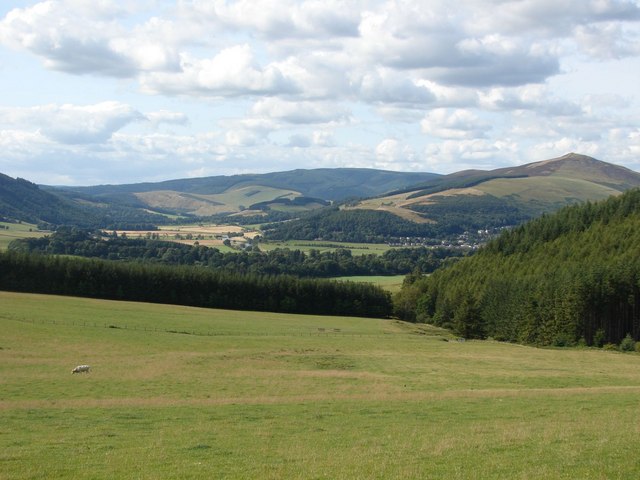
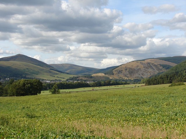
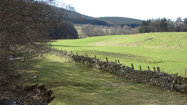
Damhead Wood is a picturesque forest located in Peeblesshire, a historic county in the Scottish Borders region of Scotland. Covering an area of approximately 500 acres, this enchanting woodland is renowned for its natural beauty and diverse ecosystem. It is nestled within the rolling hills and lush green landscapes that characterize the region, making it a popular destination for nature enthusiasts and outdoor lovers.

The woodland is predominantly composed of native tree species, including oak, beech, and ash, which provide a dense canopy that filters sunlight, creating a tranquil and shaded environment. The forest floor is adorned with a vibrant carpet of wildflowers during the spring and summer months, adding a splash of color to the already scenic surroundings.

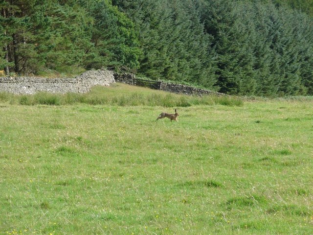
Damhead Wood is also home to a rich variety of wildlife. Visitors may encounter red squirrels, roe deer, and numerous bird species, including woodpeckers and owls. The forest offers an ideal habitat for these creatures, with its mix of mature trees, dense undergrowth, and small ponds that provide water sources.

The wood features several well-maintained trails that wind through its enchanting landscape, offering visitors the opportunity to explore its hidden corners. These paths are suitable for walkers of all abilities and provide stunning views of the surrounding countryside. Whether one chooses to take a leisurely stroll or embark on a more adventurous hike, Damhead Wood offers an immersive experience in nature.

Overall, Damhead Wood is a captivating forest that showcases the beauty of Peeblesshire's natural environment. Its diverse flora and fauna, coupled with its serene atmosphere, make it a must-visit destination for those seeking a peaceful retreat or an opportunity to reconnect with nature.

If you have any feedback on the listing, please let us know in the comments section below.
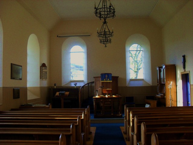
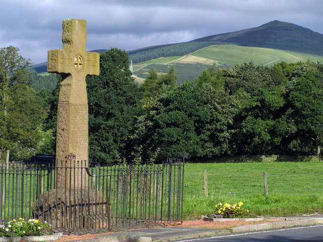
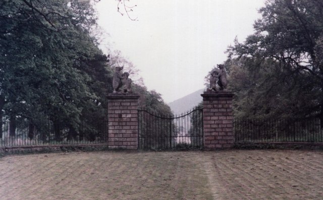
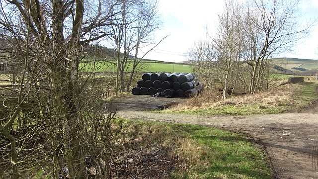
Damhead Wood Images

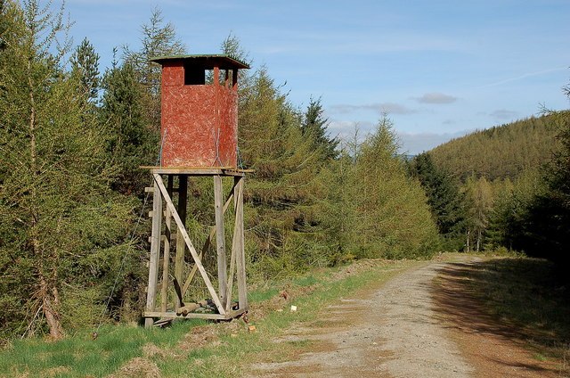
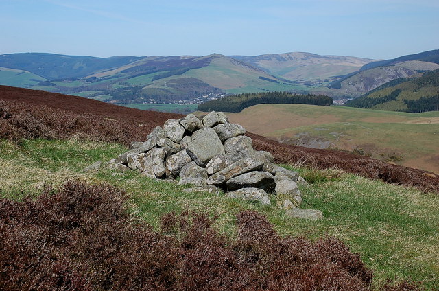
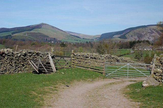
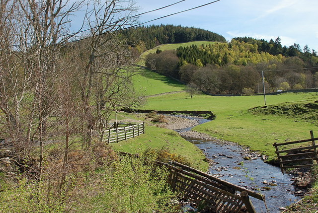
Images are sourced within 2km of 55.589851/-3.0663847 or Grid Reference NT3233. Thanks to Geograph Open Source API. All images are credited.

Shooting platform, White Rig A hide for culling deer that browse on the young trees in the plantations.
Shooting platform, White Rig
A hide for culling deer that browse on the young trees in the plantations.
Cairn on Damhead Rig Not shown on the 1:25,000 map; Innerleithen is in the valley with Lee Pen in the centre.
Cairn on Damhead Rig
Not shown on the 1:25,000 map; Innerleithen is in the valley with Lee Pen in the centre.
Track approaching Damhead farm The track from Damhead Rig passes through the farmyard. The buildings at Traquair village are in the middle distance.
Track approaching Damhead farm
The track from Damhead Rig passes through the farmyard. The buildings at Traquair village are in the middle distance.
Fingland Burn Seen from the road bridge, with Shaw Hill in the background.
Fingland Burn
Seen from the road bridge, with Shaw Hill in the background.
Traquair Kirk Looking to the west.
Traquair Kirk
Looking to the west.
War memorial at Traquair The solid looking memorial stands at a road junction; Lee Pen is the prominent hill beyond.
War memorial at Traquair
The solid looking memorial stands at a road junction; Lee Pen is the prominent hill beyond.
Minch Moor Bothy The Minch Moor Bothy stands exactly beside the Southern Upland Way, west of Pipers Knowe and on the way to (or from) the 'Marilyn' of Minch Moor.
Minch Moor Bothy
The Minch Moor Bothy stands exactly beside the Southern Upland Way, west of Pipers Knowe and on the way to (or from) the 'Marilyn' of Minch Moor.
View towards the River Tweed near Innerleithen A pleasant view of the River Tweed and surrounding farmland at the start of August.
View towards the River Tweed near Innerleithen
A pleasant view of the River Tweed and surrounding farmland at the start of August.
View towards Innerleithen Looking across from the S.U.W. pathway towards Pirn Craig, with Lee Pen on the far left.
View towards Innerleithen
Looking across from the S.U.W. pathway towards Pirn Craig, with Lee Pen on the far left.
A brown hare A brown hare on the move across the field next to the pathway.
A brown hare
A brown hare on the move across the field next to the pathway.
Cairn on Damhead Rig (2) A cairn on the crest of the ridge line, not shown on the 1:25,000 map.
Cairn on Damhead Rig (2)
A cairn on the crest of the ridge line, not shown on the 1:25,000 map.
Memorial cairn for Learmont Drysdale The plaque reads:

Learmont Drysdale
composer
1866 – 1909

For a short biography of Drysdale see <span class="nowrap"><a title="http://scottishcomposers.wordpress.com/2010/08/21/learmont-drysdale/" rel="nofollow ugc noopener" href="http://scottishcomposers.wordpress.com/2010/08/21/learmont-drysdale/">Link</a><img style="margin-left:2px;" alt="External link" title="External link - shift click to open in new window" src="https://s1.geograph.org.uk/img/external.png" width="10" height="10"/></span>

A plastic box, just visible at the base of the cairn, contains a Visitors’ Book. It explains that the cairn was dedicated in a ceremony held on 1st September 1937, attended by about 60 people. The plaque was unveiled by Sir Dan Godfrey, conductor of Bournemouth Municipal Orchestra. Also attending was the composer’s sister Janey Drysdale, who lived at the nearby cottage of the Hennel. She died in 1949, aged 87, following a fire at the cottage, which is now a roofless ruin.

The cairn was restored in the summer of 2008 by several people from Innerleithen, and the Visitors’ Book begun on 1st January 2009. Walter Baxter’s picture <a href="https://www.geograph.org.uk/photo/226952">NT3331 : Memorial Cairn on heather moorland near Hannel Bog</a> shows the cairn in 2006 before it was rebuilt.
Memorial cairn for Learmont Drysdale
The plaque reads: Learmont Drysdale composer 1866 – 1909 For a short biography of Drysdale see LinkExternal link A plastic box, just visible at the base of the cairn, contains a Visitors’ Book. It explains that the cairn was dedicated in a ceremony held on 1st September 1937, attended by about 60 people. The plaque was unveiled by Sir Dan Godfrey, conductor of Bournemouth Municipal Orchestra. Also attending was the composer’s sister Janey Drysdale, who lived at the nearby cottage of the Hennel. She died in 1949, aged 87, following a fire at the cottage, which is now a roofless ruin. The cairn was restored in the summer of 2008 by several people from Innerleithen, and the Visitors’ Book begun on 1st January 2009. Walter Baxter’s picture NT3331 : Memorial Cairn on heather moorland near Hannel Bog shows the cairn in 2006 before it was rebuilt.
Minch Moor
Minch Moor
Gardener's Acre Parkland, grazed by cattle, Traquair.
Gardener's Acre
Parkland, grazed by cattle, Traquair.
B7062, Traquair Outside the famous shut gate - The Steekit Yetts  <a href="https://www.geograph.org.uk/photo/4678">NT3235 : The Steekit Yetts</a>. This road is a quiet and narrow alternative to the A72 on the other side of the Tweed.
B7062, Traquair
Outside the famous shut gate - The Steekit Yetts NT3235 : The Steekit Yetts. This road is a quiet and narrow alternative to the A72 on the other side of the Tweed.
The Steekit Yetts of Traquair The Steekit Yetts have remained shut since the second Jacobite Rebellion - we managed to resist the temptation to try and open them
The Steekit Yetts of Traquair
The Steekit Yetts have remained shut since the second Jacobite Rebellion - we managed to resist the temptation to try and open them
Fingland Bridge A silage store beside the bridge.
Fingland Bridge
A silage store beside the bridge.
Dyke beside the Curly Burn View upstream from the Kirk Bridge on the Traquair - Yarrow Water road.
Dyke beside the Curly Burn
View upstream from the Kirk Bridge on the Traquair - Yarrow Water road.
Show me another place!

Damhead Wood is located at Grid Ref: NT3233 (Lat: 55.589851, Lng: -3.0663847)

Unitary Authority: The Scottish Borders

Police Authority: The Lothians and Scottish Borders

What 3 Words

///workloads.loaders.conspire. Near Innerleithen, Scottish Borders

Nearby Locations

Damhead Strip Damhead Wood

Related Wikis

Traquair

Traquair (Scottish Gaelic: Cille Bhrìghde) is a small village and civil parish in the Scottish Borders; until 1975 it was in the county of Peeblesshire...

Sir Walter Scott Way

The Sir Walter Scott Way is a 92-mile (148 km) long-distance footpath in the Scottish Borders. The route broadly follows the waymarked Southern Upland...

Quair Water

The Quair Water is a tributary of the River Tweed in the Scottish Borders area of Scotland. Its name is related to Traquair. == Etymology == The name Quair...

Traquair House

Traquair House, approximately 7 miles southeast of Peebles, is claimed to be the oldest continually inhabited house in Scotland. Whilst not strictly a...

Nearby Amenities

Located within 500m of 55.589851,-3.0663847
Ele: 271
Natural: peak
Lat/Long: 55.589485/-3.065863
The data included in this document is from www.openstreetmap.org. The data is made available under ODbL.

Have you been to Damhead Wood?

Leave your review of Damhead Wood below (or comments, questions and feedback).