Chemiss Clump
Wood, Forest in Fife
Scotland
Chemiss Clump

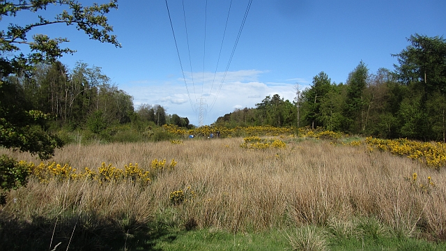
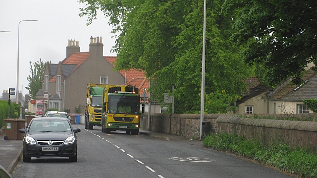
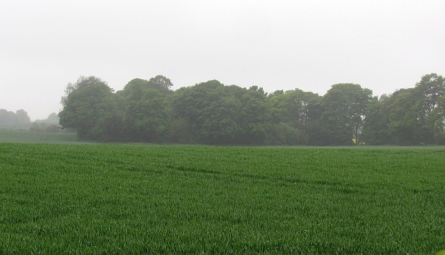
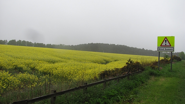
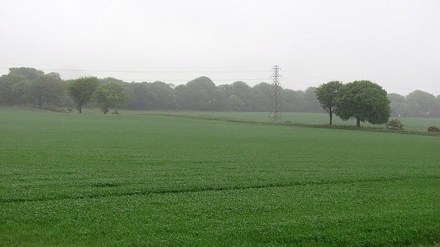
Chemiss Clump is a small woodland area located in Fife, Scotland. Situated near the village of Wood, this forest is a popular destination for nature enthusiasts and outdoor adventurers. Spanning approximately 50 acres, Chemiss Clump offers a tranquil and picturesque setting, with its dense foliage and diverse array of plant and animal species.
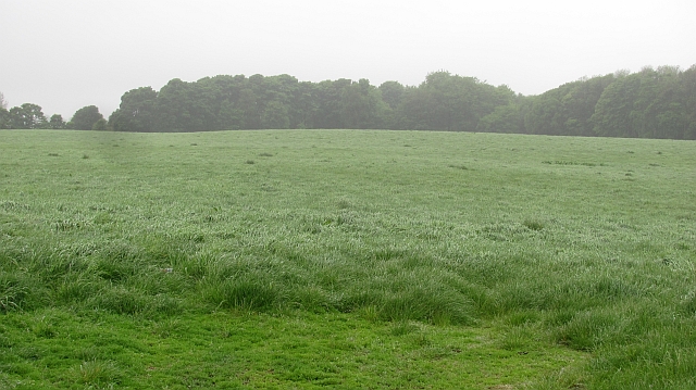
The woodland is predominantly composed of native tree species, including oak, birch, and pine. These trees create a dense canopy that provides shade and shelter for a variety of wildlife. Visitors to Chemiss Clump can expect to encounter a range of bird species, such as woodpeckers, owls, and finches, along with small mammals like squirrels and rabbits.
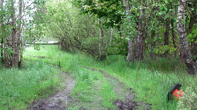
There are several well-maintained walking trails throughout the forest, allowing visitors to explore the natural beauty of the area. These trails offer opportunities for hiking, jogging, and birdwatching. Additionally, the woodland is home to a small pond, which attracts various amphibians and insects.
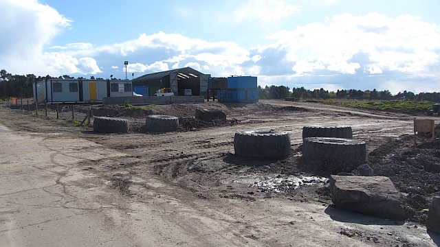
Chemiss Clump is easily accessible, with ample parking available nearby. The forest is open to the public year-round and is a popular spot for picnicking and family outings. Visitors are advised to follow the designated trails and respect the natural environment by not littering or disturbing the wildlife.
Overall, Chemiss Clump in Fife is a charming woodland area that offers a peaceful retreat for nature lovers. Its diverse flora and fauna, combined with its accessible location, make it an ideal destination for both locals and tourists seeking a brief escape into nature.
If you have any feedback on the listing, please let us know in the comments section below.
Chemiss Clump Images
Images are sourced within 2km of 56.159265/-3.0820462 or Grid Reference NT3296. Thanks to Geograph Open Source API. All images are credited.


Chemiss Clump is located at Grid Ref: NT3296 (Lat: 56.159265, Lng: -3.0820462)
Unitary Authority: Fife
Police Authority: Fife
What 3 Words
///possibly.otters.rotations. Near East Wemyss, Fife
Nearby Locations
Related Wikis

Wemyss, Fife
Wemyss ( WEEMZ) is a civil parish on the south coast of Fife, Scotland, lying on the Firth of Forth. It is bounded on the north-east by the parish of...
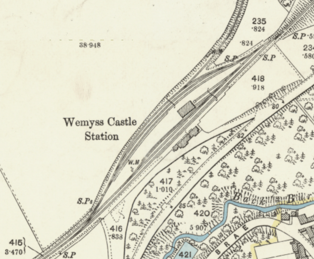
Wemyss Castle railway station
Wemyss Castle railway station served the village of East Wemyss , Fife, Scotland, from 1881 to 1955 on the Wemyss and Buckhaven Railway. == History... ==

Coaltown of Wemyss
Coaltown of Wemyss () is a village in south-east Fife, Scotland, around 5 km north of Kirkcaldy. The town was built in the 1890s as an estate village on...
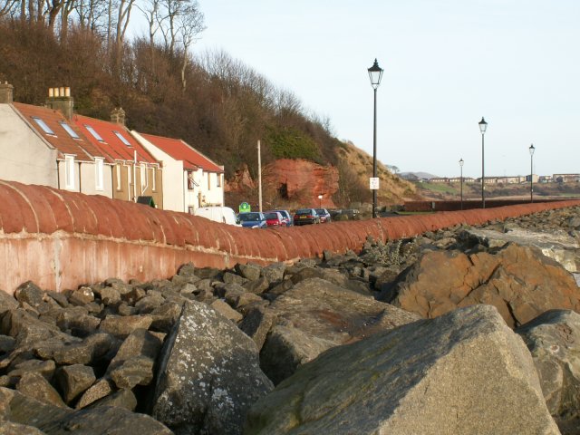
East Wemyss
East Wemyss ( ) is a village situated on the south coast of Fife, Scotland. According to the 2011 census, the village has a population of 1,928. ��2�...
Nearby Amenities
Located within 500m of 56.159265,-3.0820462Have you been to Chemiss Clump?
Leave your review of Chemiss Clump below (or comments, questions and feedback).