Caulcott
Settlement in Bedfordshire
England
Caulcott
Caulcott is a small village located in the county of Bedfordshire, England. Situated approximately 5 miles south-east of the town of Brackley, it falls within the district of South Northamptonshire. The village is nestled in a picturesque rural landscape, surrounded by rolling hills and expansive fields.
Caulcott is primarily a residential area, with a population of around 200 inhabitants. The village boasts a tight-knit community, and its quaint charm is evident through its traditional stone cottages and well-manicured gardens. The architecture reflects a mix of styles, ranging from Tudor to Georgian, giving Caulcott a unique character.
A notable feature of Caulcott is the St. Mary’s Church, a beautiful 12th-century building that stands as a testament to the village’s rich history. The church is open to the public and attracts visitors with its stunning stained glass windows and intricate stonework.
While Caulcott may be small in size, it offers a range of amenities for its residents. These include a village hall, a local pub, and a primary school. The village also benefits from its proximity to nearby towns, providing easy access to additional services and facilities.
The surrounding countryside provides ample opportunities for outdoor activities, such as hiking, cycling, and horse riding. The rolling hills and tranquil landscapes make Caulcott an ideal destination for those seeking a peaceful retreat from the bustling city life.
Overall, Caulcott is a charming village with a strong sense of community, offering a peaceful and idyllic lifestyle to its residents.
If you have any feedback on the listing, please let us know in the comments section below.
Caulcott Images
Images are sourced within 2km of 52.069533/-0.54202219 or Grid Reference TL0042. Thanks to Geograph Open Source API. All images are credited.

![Stewartby Lake from the air An aerial view looking northeast towards the flooded clay pits of the brick-making industry, now closed. The foreground houses are the edge of Marston Moretaine; Stewartby is just beyond the wind turbine, between the Bedford-Milton Keynes [L] and Bedford - St Pancras [R] railways.](https://s2.geograph.org.uk/geophotos/07/67/97/7679774_7d3f0a3d.jpg)


Caulcott is located at Grid Ref: TL0042 (Lat: 52.069533, Lng: -0.54202219)
Unitary Authority: Central Bedfordshire
Police Authority: Bedfordshire
What 3 Words
///townhouse.solutions.bolts. Near Marston Moretaine, Bedfordshire
Nearby Locations
Related Wikis

Marston Moreteyne
Marston Moreteyne (or Marston Moretaine) is a large English village and civil parish located on the A421 between Bedford and Milton Keynes in the county...

Marston Vale
Marston Vale is an area of Bedfordshire. It lies to the south west of Bedford and Kempston, near Junction 13 of the M1 motorway. Historically it was one...
Moreteyne Manor
Moreteyne Manor (previously known as Moat Farmhouse) is a 15th-century manor house in Marston Moretaine, Bedfordshire, England. For many years it was used...

Lower Shelton
Lower Shelton is a village in the civil parish of Marston Moreteyne in Bedfordshire, England. It is made of Lower Shelton Road, Stratford Way, The Rickyard...

Kimberley College
Kimberley College (also known as STEM College) is a free school sixth form centre that opened in Stewartby, Bedfordshire, England in April 2014. The college...
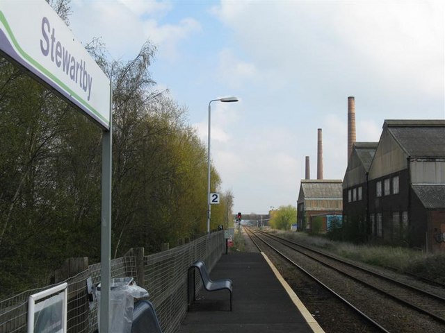
Stewartby railway station
Stewartby railway station is a station on the London Northwestern Railway, which serves the Bedfordshire village of Stewartby in England. It is the nearest...

Upper Shelton
Upper Shelton is a hamlet in the civil parish of Marston Moreteyne, in the Central Bedfordshire district of Bedfordshire, England. Upper Shelton contains...

Millbrook railway station (Bedfordshire)
Millbrook railway station serves the villages of Millbrook and Marston Moretaine in Bedfordshire, England. It is on the Marston Vale Line, between Stewartby...
Nearby Amenities
Located within 500m of 52.069533,-0.54202219Have you been to Caulcott?
Leave your review of Caulcott below (or comments, questions and feedback).