Cauld

Settlement in Roxburghshire

Scotland

Cauld

Bandstand in Wilton Lodge Park, Hawick A fine new bandstand built as part of the park renovation project.
Bandstand in Wilton Lodge Park, Hawick Credit: Jim Barton

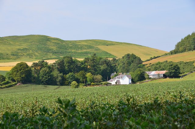
Cauld is a small village located in the historic county of Roxburghshire, in the Scottish Borders region of Scotland. Situated in the picturesque Tweed Valley, Cauld is surrounded by rolling hills and stunning natural landscapes. The village is approximately 6 miles southwest of the town of Hawick and is easily accessible by road via the A6088.

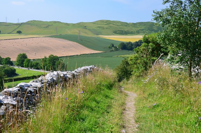
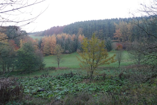
With a population of around 150 residents, Cauld offers a peaceful and close-knit community atmosphere. The village retains its rural charm and is known for its tranquil ambiance, making it an ideal destination for those seeking a quiet retreat. Visitors to Cauld can enjoy leisurely walks along the beautiful countryside paths, taking in breathtaking views of the surrounding area.

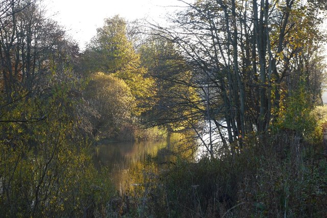
Despite its small size, Cauld has a rich history. The village is home to a number of historical landmarks, including the historic Cauld Tower, a restored 16th-century tower house that stands as a testament to the area's past. Additionally, the nearby River Teviot provides opportunities for fishing enthusiasts, with its abundance of salmon and trout.

Cauld may be small, but it offers essential amenities to its residents and visitors. The village has a small shop for daily necessities, as well as a pub where locals and tourists can enjoy a drink and socialize. For more extensive amenities and services, the nearby town of Hawick provides a wider range of options.

In conclusion, Cauld is a picturesque village situated in the heart of Roxburghshire, Scotland. With its stunning natural surroundings, rich history, and peaceful atmosphere, it is an idyllic destination for those seeking a tranquil escape in the Scottish Borders.

If you have any feedback on the listing, please let us know in the comments section below.
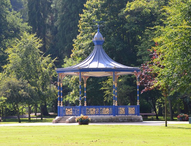
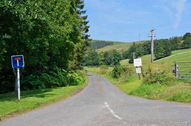
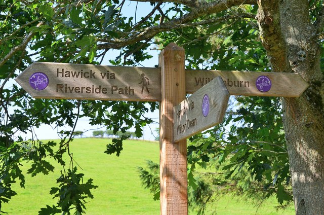
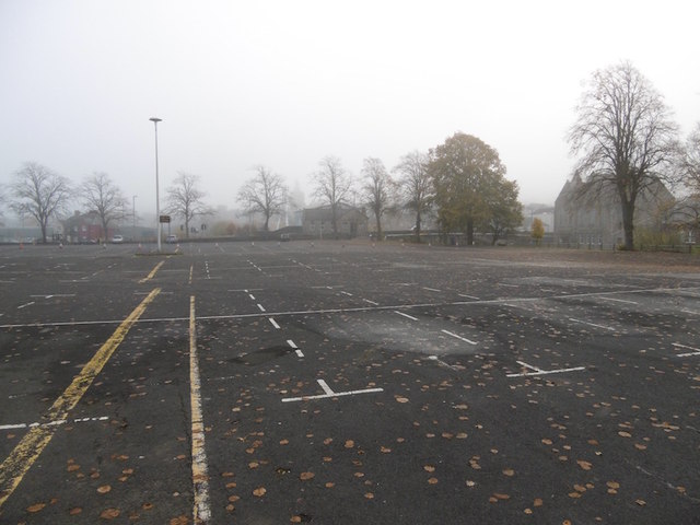
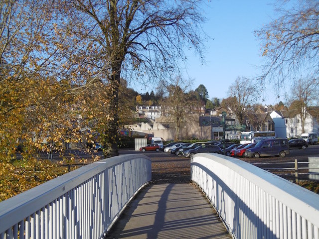
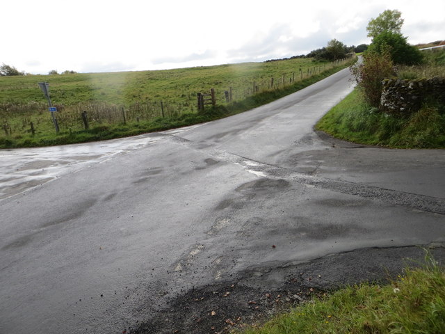
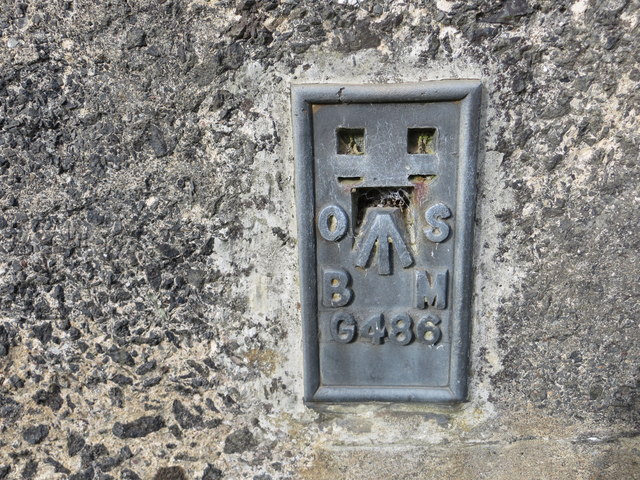
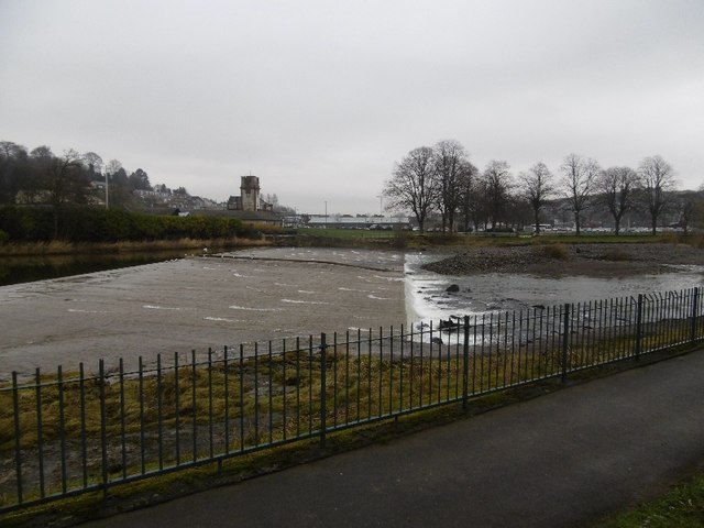
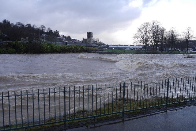
Cauld Images

Images are sourced within 2km of 55.417248/-2.8071863 or Grid Reference NT4914. Thanks to Geograph Open Source API. All images are credited.

Bandstand in Wilton Lodge Park, Hawick A fine new bandstand built as part of the park renovation project.
Bandstand in Wilton Lodge Park, Hawick
A fine new bandstand built as part of the park renovation project.
Lane to Wiltonburn farm Junction with the minor road to Wilton Dean. The sign advertises Country Cashmeres and Farmhouse B&B at Wiltonburn.
Lane to Wiltonburn farm
Junction with the minor road to Wilton Dean. The sign advertises Country Cashmeres and Farmhouse B&B at Wiltonburn.
Footpath signpost near Wilton Burn The purple badges mark the Romans and Reivers Route.
Footpath signpost near Wilton Burn
The purple badges mark the Romans and Reivers Route.
Wiltonburn farm Seen from the path near Brieryhill.
Wiltonburn farm
Seen from the path near Brieryhill.
Cross Borders Drove Road Quite narrow for a drove road, the path runs between stone walls on the E side of Wiltonburn Hill.
Cross Borders Drove Road
Quite narrow for a drove road, the path runs between stone walls on the E side of Wiltonburn Hill.
Path meets minor road above Wilton Dean The Cross Borders Drove Road meets the road coming up from Wilton Dean to Whitehaugh.
Path meets minor road above Wilton Dean
The Cross Borders Drove Road meets the road coming up from Wilton Dean to Whitehaugh.
Whitehaugh Cottages Cottages near Whitehaugh House and the bridge over the Dean Burn.
Whitehaugh Cottages
Cottages near Whitehaugh House and the bridge over the Dean Burn.
Woodland on Vertish Hill Looking over Hawick Golf Club's course towards Vertish Hill.
Woodland on Vertish Hill
Looking over Hawick Golf Club's course towards Vertish Hill.
River Teviot Downstream of Martin's Bridge.
River Teviot
Downstream of Martin's Bridge.
River Teviot, Hawick Hawick High School on the left.
River Teviot, Hawick
Hawick High School on the left.
Common Haugh, Hawick The car park was empty as it was closed for line work.
Common Haugh, Hawick
The car park was empty as it was closed for line work.
Lawson Bridge, Hawick A little upstream of its predecessor, it is often used by Hawick High School pupils to get their buses on The Haugh.
Lawson Bridge, Hawick
A little upstream of its predecessor, it is often used by Hawick High School pupils to get their buses on The Haugh.
Ordnance Survey Flush Bracket 1491 This heavily over-painted bracket can be found on the wall of a private dwelling in Lynnwood.
For more detail see : <span class="nowrap"><a title="http://www.bench-marks.org.uk/bm1210" rel="nofollow ugc noopener" href="http://www.bench-marks.org.uk/bm1210">Link</a><img style="margin-left:2px;" alt="External link" title="External link - shift click to open in new window" src="https://s1.geograph.org.uk/img/external.png" width="10" height="10"/></span>
Ordnance Survey Flush Bracket 1491
This heavily over-painted bracket can be found on the wall of a private dwelling in Lynnwood. For more detail see : LinkExternal link
Ordnance Survey Fundamental Bench Mark - Hawick This can be found hidden in the grass on the roadside verge of the cross-roads near Nipknowes Quarry.
For more detail see : <span class="nowrap"><a title="http://www.bench-marks.org.uk/bm1079" rel="nofollow ugc noopener" href="http://www.bench-marks.org.uk/bm1079">Link</a><img style="margin-left:2px;" alt="External link" title="External link - shift click to open in new window" src="https://s1.geograph.org.uk/img/external.png" width="10" height="10"/></span>
Ordnance Survey Fundamental Bench Mark - Hawick
This can be found hidden in the grass on the roadside verge of the cross-roads near Nipknowes Quarry. For more detail see : LinkExternal link
Cross Roads near Nipknowes Quarry Looking westward.
Cross Roads near Nipknowes Quarry
Looking westward.
Ordnance Survey Flush Bracket G486 This can be found on the retaining wall of Branxholm Bridge.
For more detail see : <span class="nowrap"><a title="http://www.bench-marks.org.uk/bm20289" rel="nofollow ugc noopener" href="http://www.bench-marks.org.uk/bm20289">Link</a><img style="margin-left:2px;" alt="External link" title="External link - shift click to open in new window" src="https://s1.geograph.org.uk/img/external.png" width="10" height="10"/></span>
Ordnance Survey Flush Bracket G486
This can be found on the retaining wall of Branxholm Bridge. For more detail see : LinkExternal link
Cauld, Hawick The River Teviot in a relatively benign mood. Note the big shingle bank beneath the cauld.
Cauld, Hawick
The River Teviot in a relatively benign mood. Note the big shingle bank beneath the cauld.
Cauld, Hawick The weir upstream of the town during a spate. All footbridges were closed at the time.
Cauld, Hawick
The weir upstream of the town during a spate. All footbridges were closed at the time.
Show me another place!

Cauld is located at Grid Ref: NT4914 (Lat: 55.417248, Lng: -2.8071863)

Unitary Authority: The Scottish Borders

Police Authority: The Lothians and Scottish Borders

What 3 Words

///totals.guard.eliminate. Near Hawick, Scottish Borders

Related Wikis

Wilton Dean

Wilton Dean is a village in the Scottish Borders area of Scotland, on the Cala Burn, and close to the River Teviot. Along with Stirches and...

Hawick Cottage Hospital

Hawick Cottage Hospital was a health facility at Buccleuch Road in Hawick, Scotland. It was managed by NHS Borders. It is a Category B listed building...

Hawick High School

Hawick High School is a non-denominational secondary school in Hawick, in the Scottish Borders. As well as serving the town, it also takes in pupils from...

Hawick Community Hospital

Hawick Community Hospital is a health facility at Victoria Road in Hawick, Scotland. It is managed by NHS Borders. == History == The hospital was commissioned...

Hawick

Hawick ( HOYK; Scots: Haaick; Scottish Gaelic: Hamhaig) is a town in the Scottish Borders council area and historic county of Roxburghshire in the east...
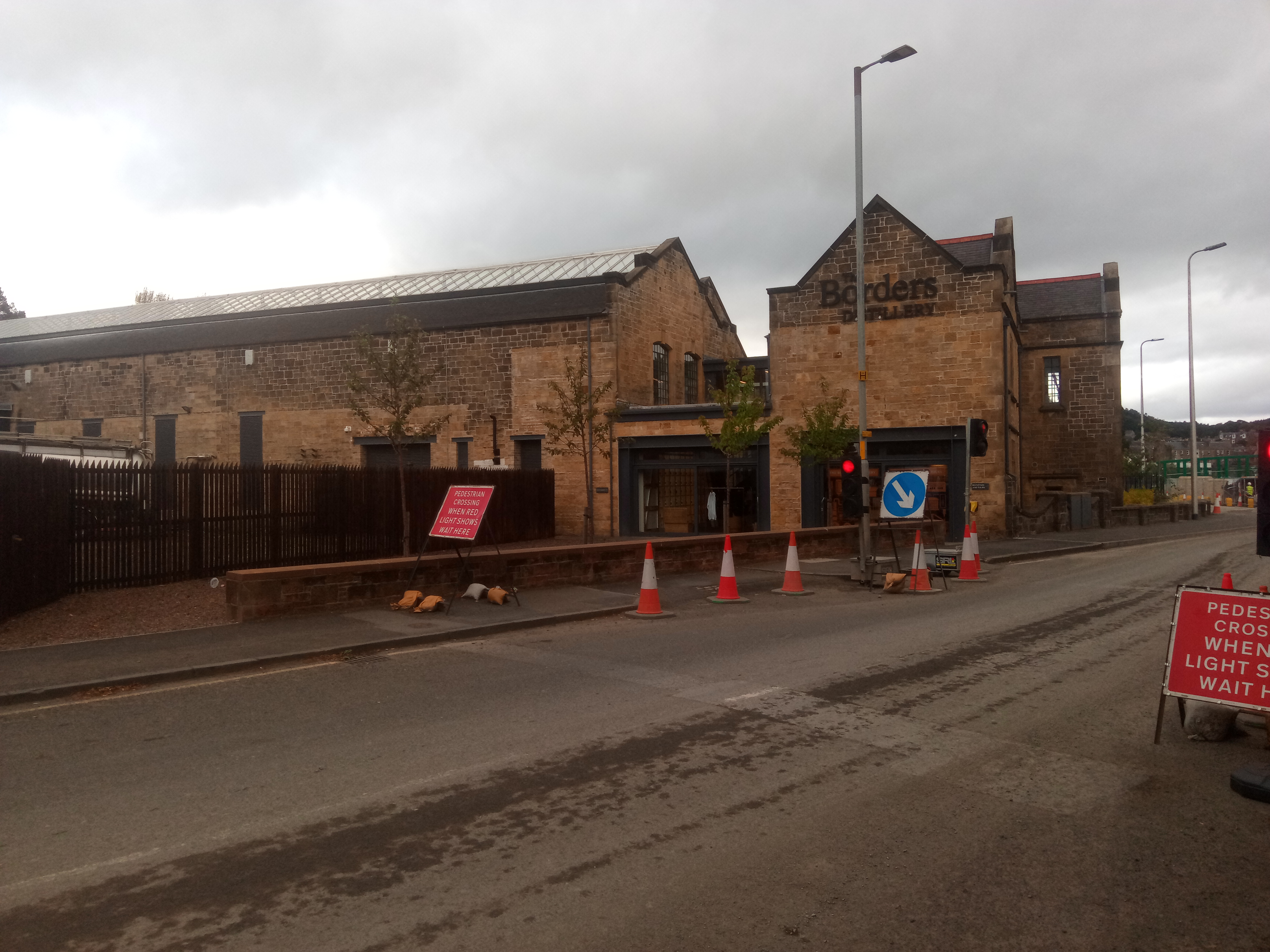
Borders distillery

The Borders distillery, is a malt whisky, gin and vodka production facility in the Scottish Borders town of Hawick. The distillery produces malt whisky...

Hawick Town Hall

Hawick Town Hall is a municipal building in the High Street, Hawick, Scotland. The structure, which served as the meeting place of Hawick Burgh Council...

Slitrig Water

Slitrig Water (archaic Scots: Slitterick Waiter; current Southern Scots: Slitrig Witter), also known as the River Slitrig, is a river in the Scottish Borders...

Nearby Amenities

Located within 500m of 55.417248,-2.8071863
Bus Stop
Teviotsyde
Bus: yes
Naptan AtcoCode: 69001248
Naptan Bearing: NW
Naptan CommonName: Teviotsyde
Naptan Indicator: opp
Naptan NaptanCode: 72726457
Naptan Street: A7
Operator: Scottish Borders Council
Public Transport: platform
Ref: 69001248
Source: NaPTAN
Lat/Long: 55.4154608/-2.8120503
Parkdaill
Naptan AtcoCode: 69001249
Naptan Bearing: N
Naptan BusStopType: CUS
Naptan CommonName: Parkdaill
Naptan Indicator: nr Teviotsyde
Naptan Landmark: Parkdaill
Naptan NaptanCode: 72726454
Naptan Street: A7
Naptan Verified: no
Source: naptan_import
Lat/Long: 55.4155966/-2.8118951
Post Box
Brand: Royal Mail
Brand Wikidata: Q638098
Mapillary: 650693933353836
Operator: Royal Mail
Operator Wikidata: Q638098
Post Box Mounting: pier
Post Box Type: lamp
Ref: TD9 65
Source: survey
Survey Date: 2022-06-04
Lat/Long: 55.4159292/-2.8128619
Longbaulk
Name Sco: Lumback
Place: hamlet
Lat/Long: 55.4145416/-2.8100715
Natural: shrub
Lat/Long: 55.4197536/-2.806493
Natural: shrub
Lat/Long: 55.4197251/-2.8064291
Natural: shrub
Lat/Long: 55.4196972/-2.8063708
Natural: shrub
Lat/Long: 55.4196681/-2.8063081
Natural: shrub
Lat/Long: 55.4196402/-2.8062487
Natural: shrub
Lat/Long: 55.4196117/-2.8061894
Natural: shrub
Lat/Long: 55.4198035/-2.8064211
Natural: shrub
Lat/Long: 55.419775/-2.806356
Natural: shrub
Lat/Long: 55.4197458/-2.8063035
Natural: shrub
Lat/Long: 55.419716/-2.8062407
Natural: shrub
Lat/Long: 55.4196869/-2.8061802
Natural: shrub
Lat/Long: 55.4196577/-2.8061209
Bench
Lat/Long: 55.4198911/-2.8063644
Bench
Lat/Long: 55.4199738/-2.806337
Bench
Lat/Long: 55.4200059/-2.806289
Natural: shrub
Lat/Long: 55.4184806/-2.8118456
Natural: shrub
Lat/Long: 55.4184879/-2.8112268
Generator Method: photovoltaic
Generator Output Electricity: yes
Generator Source: solar
Generator Type: solar_photovoltaic_panel
Power: generator
Lat/Long: 55.4211061/-2.8061351
Generator Method: photovoltaic
Generator Output Electricity: yes
Generator Source: solar
Generator Type: solar_photovoltaic_panel
Power: generator
Lat/Long: 55.4205946/-2.8075835
Generator Method: photovoltaic
Generator Output Electricity: yes
Generator Source: solar
Generator Type: solar_photovoltaic_panel
Power: generator
Lat/Long: 55.4214714/-2.8063926
Generator Method: photovoltaic
Generator Output Electricity: yes
Generator Source: solar
Generator Type: solar_photovoltaic_panel
Power: generator
Lat/Long: 55.4214912/-2.8070685
Generator Method: photovoltaic
Generator Output Electricity: yes
Generator Source: solar
Generator Type: solar_photovoltaic_panel
Power: generator
Lat/Long: 55.4158631/-2.8018758
Power: pole
Lat/Long: 55.4132093/-2.8070963
Power: pole
Lat/Long: 55.4137439/-2.8061698
Power: pole
Lat/Long: 55.4142438/-2.8052892
Power: pole
Lat/Long: 55.4148549/-2.8042559
Power: pole
Lat/Long: 55.4151423/-2.8041465
Power: pole
Lat/Long: 55.4157592/-2.8039073
Power: pole
Lat/Long: 55.4163775/-2.803668
Power: pole
Lat/Long: 55.4169756/-2.8034211
Power: pole
Lat/Long: 55.4209664/-2.8105289
Power: pole
Lat/Long: 55.4207555/-2.8092488
The data included in this document is from www.openstreetmap.org. The data is made available under ODbL.

Have you been to Cauld?

Leave your review of Cauld below (or comments, questions and feedback).