Caulcott
Settlement in Oxfordshire Cherwell
England
Caulcott

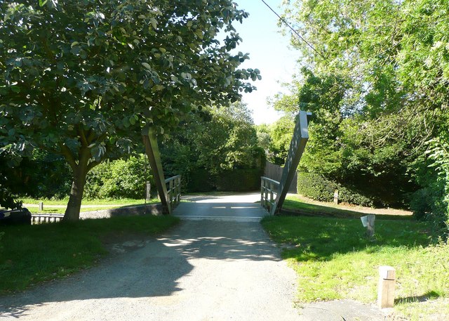
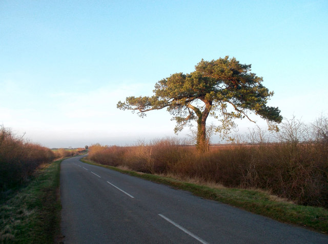
Caulcott is a small village located in the Cherwell district of Oxfordshire, England. Situated about five miles northeast of the historic market town of Bicester, Caulcott is nestled in the scenic countryside, surrounded by fields and farmland. The village itself consists of a cluster of houses and cottages, giving it a charming and picturesque character.
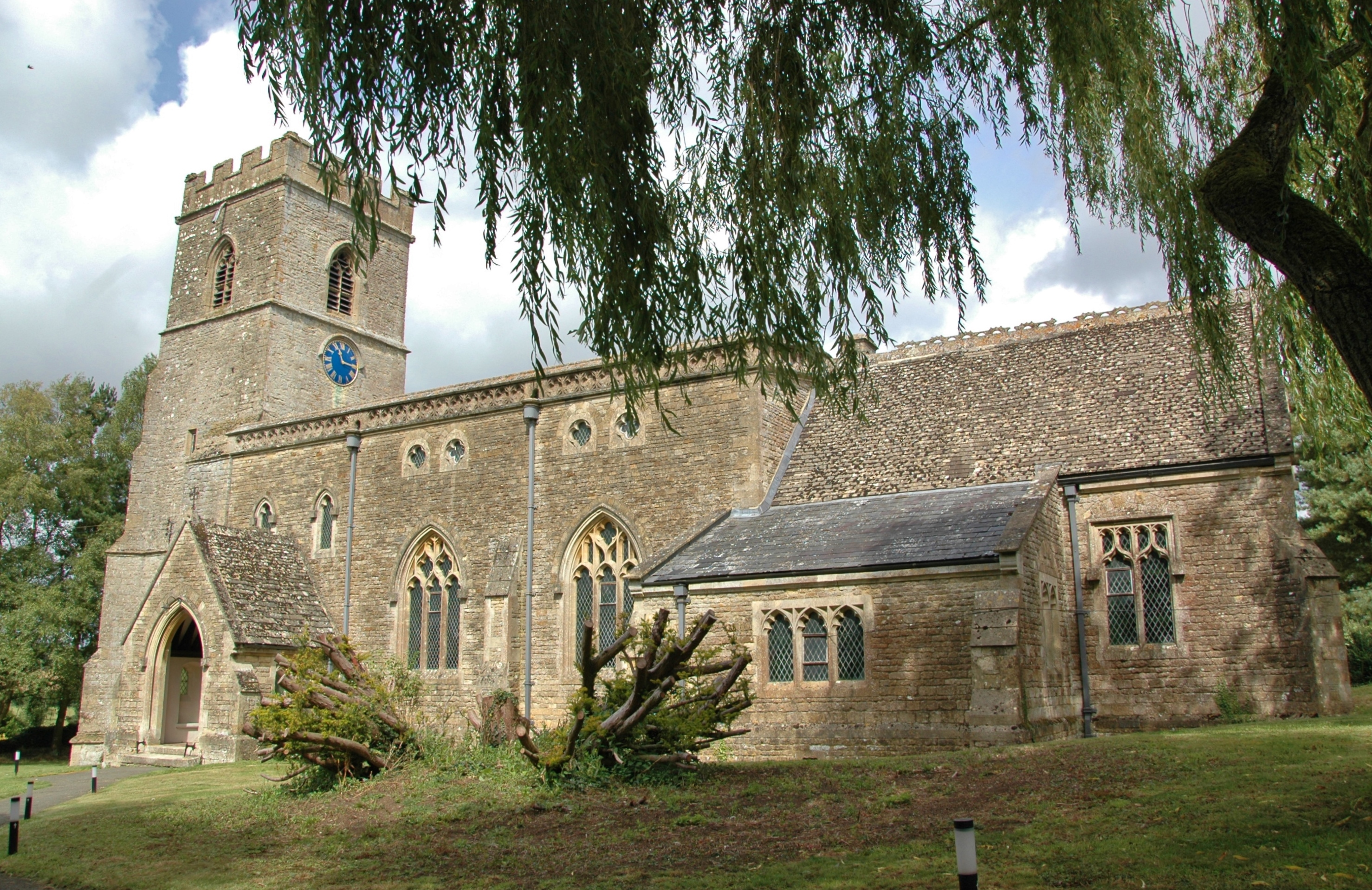
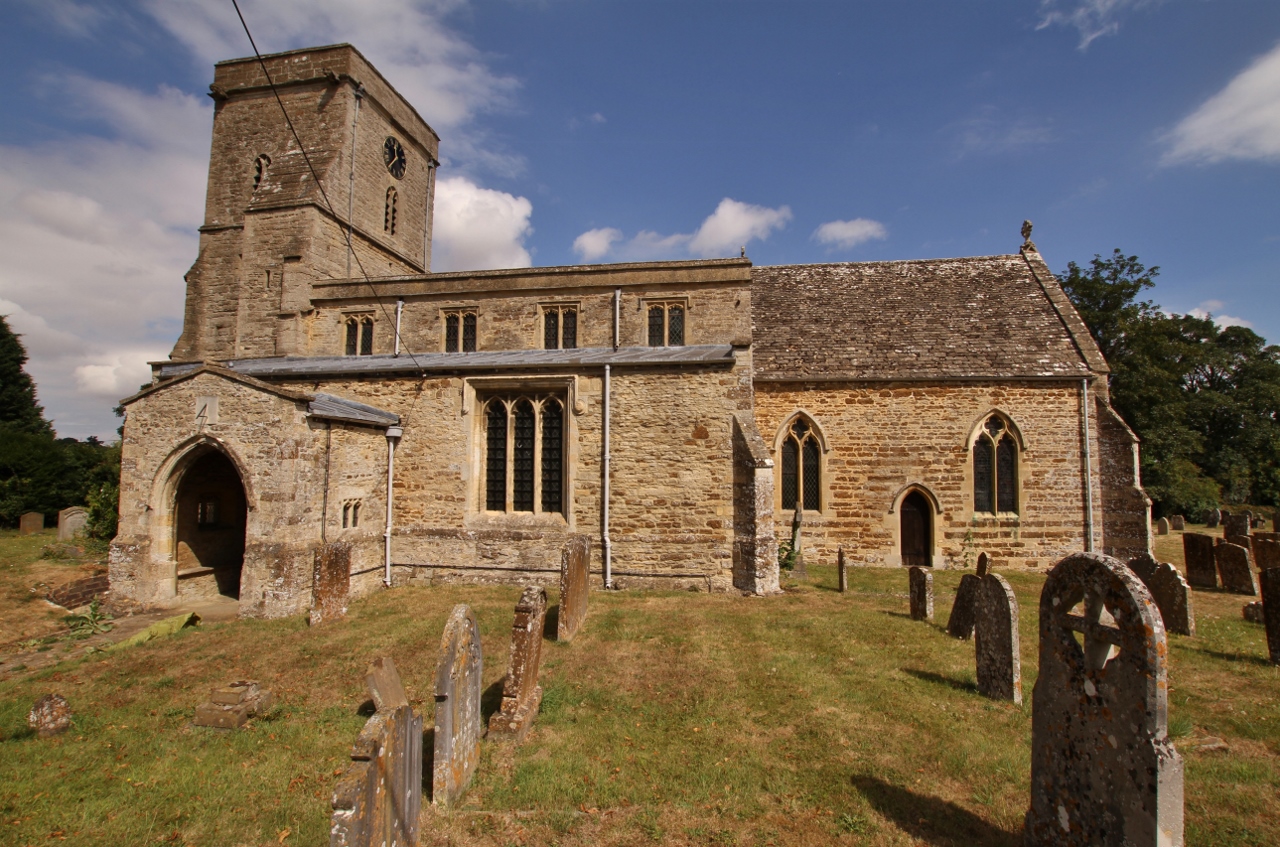
Caulcott has a rich history that dates back to the Domesday Book of 1086, where it was recorded as "Caldicote." The village retains much of its traditional architecture, with several buildings dating back to the 17th and 18th centuries. The St. Mary's Church, a Grade II listed building, stands as a prominent landmark in the village, showcasing its historical and architectural significance.
Despite its small size, Caulcott offers a close-knit community with a friendly atmosphere. The village has a primary school, providing education for the local children, and a village hall that serves as a hub for various community events and gatherings. Residents can also enjoy the peaceful surroundings and take advantage of the nearby footpaths and bridleways, perfect for leisurely walks or cycling.
For amenities and services, Caulcott benefits from its proximity to Bicester, which offers a wider range of shops, supermarkets, and leisure facilities. The village is also well-connected, with convenient access to major road links, including the M40 motorway, providing easy travel to nearby towns and cities.
Overall, Caulcott presents an idyllic English village with a rich history, a tight-knit community, and a tranquil rural setting, making it an attractive place to live or visit for those seeking a peaceful countryside lifestyle.
If you have any feedback on the listing, please let us know in the comments section below.
Caulcott Images
Images are sourced within 2km of 51.914792/-1.263572 or Grid Reference SP5024. Thanks to Geograph Open Source API. All images are credited.


Caulcott is located at Grid Ref: SP5024 (Lat: 51.914792, Lng: -1.263572)
Administrative County: Oxfordshire
District: Cherwell
Police Authority: Thames Valley
What 3 Words
///vibrates.impose.profited. Near Somerton, Oxfordshire
Nearby Locations
Related Wikis

Aves ditch
Aves Ditch (also known as Ash Bank, or Wattle Bank) is an Iron Age ditch and bank structure running about 3 miles (4.8 km) on a northeast to southwest...
Upper Heyford, Oxfordshire
Upper Heyford is a village and civil parish about 6 miles (10 km) northwest of Bicester in Oxfordshire, England. The 2011 Census recorded the parish's...

Middleton Park, Oxfordshire
Middleton Park is a rural park in the parish of Middleton Stoney, Oxfordshire, England, about 2+1⁄2 miles (4 km) west of Bicester. The grounds are Grade...
Lower Heyford
Lower Heyford is a village and civil parish beside the River Cherwell in Oxfordshire, about 6 miles (10 km) west of Bicester. The 2011 Census recorded...
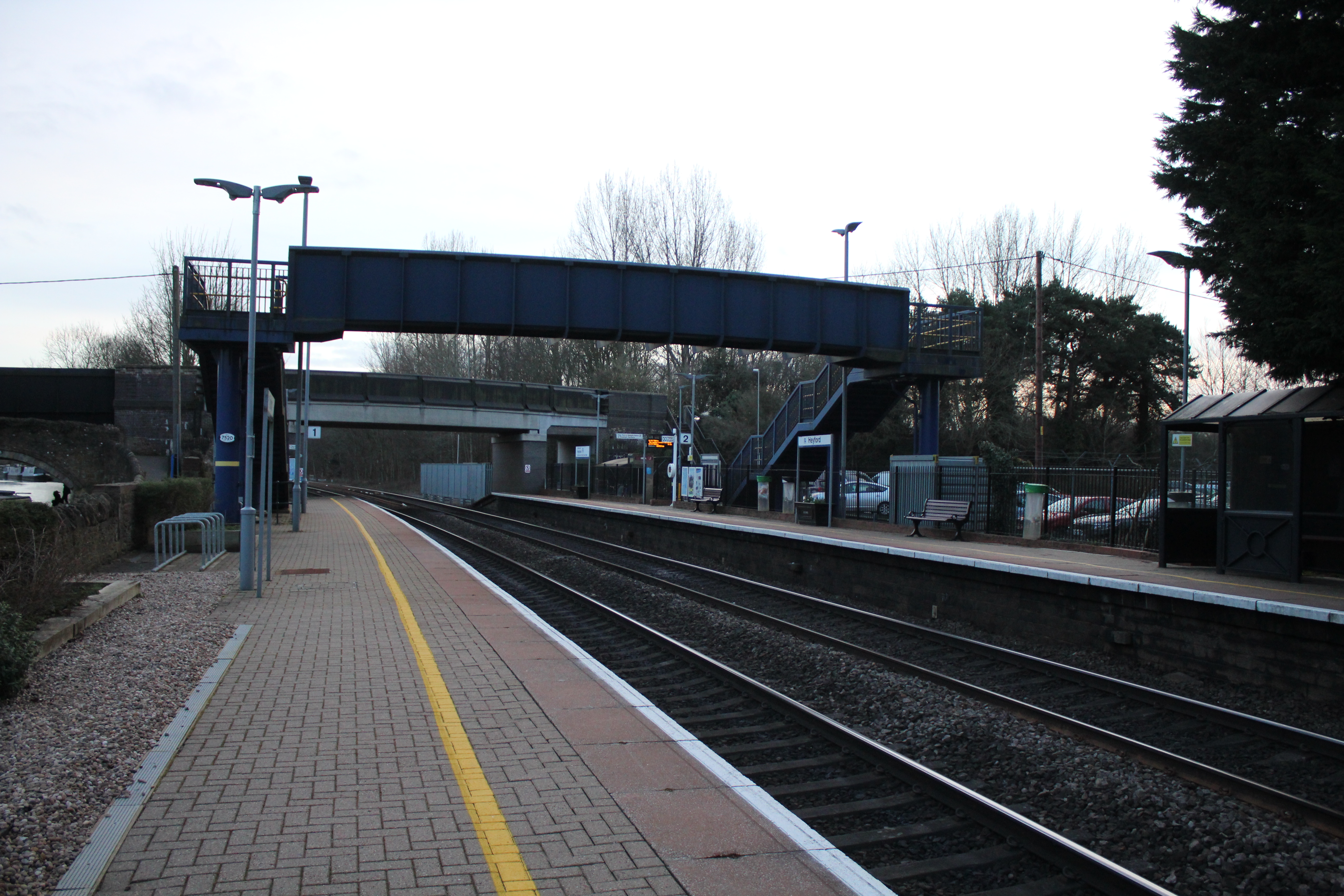
Heyford railway station
Heyford railway station serves the village of Lower Heyford and surrounding areas in Oxfordshire, England. It is on the Cherwell Valley Line and is ideally...

RAF Upper Heyford
Royal Air Force Upper Heyford or more simply RAF Upper Heyford is a former Royal Air Force station located 5 miles (8 km) north-west of Bicester near the...

Rousham
Rousham is a village and civil parish beside the River Cherwell in Oxfordshire. The village is about 6+1⁄2 miles (10.5 km) west of Bicester and about 6...

Middleton Stoney
Middleton Stoney is a village and civil parish about 2+1⁄2 miles (4 km) west of Bicester, Oxfordshire. The 2011 Census recorded the parish's population...
Nearby Amenities
Located within 500m of 51.914792,-1.263572Have you been to Caulcott?
Leave your review of Caulcott below (or comments, questions and feedback).