Collairnie Wood

Wood, Forest in Fife

Scotland

Collairnie Wood

Sheepfold at Dunboghill
Sheepfold at Dunboghill Credit: David

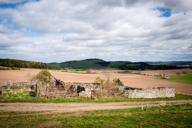
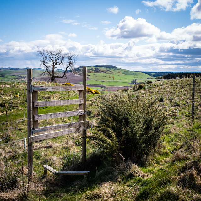
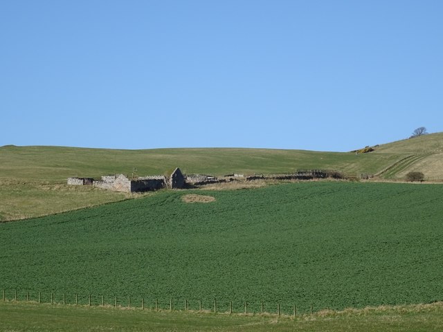
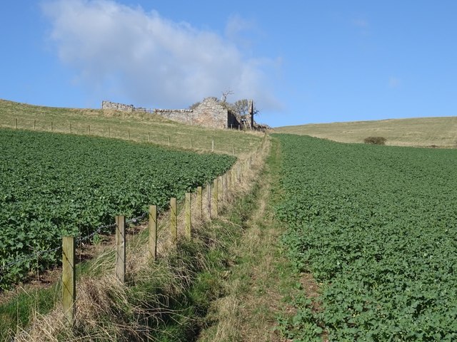
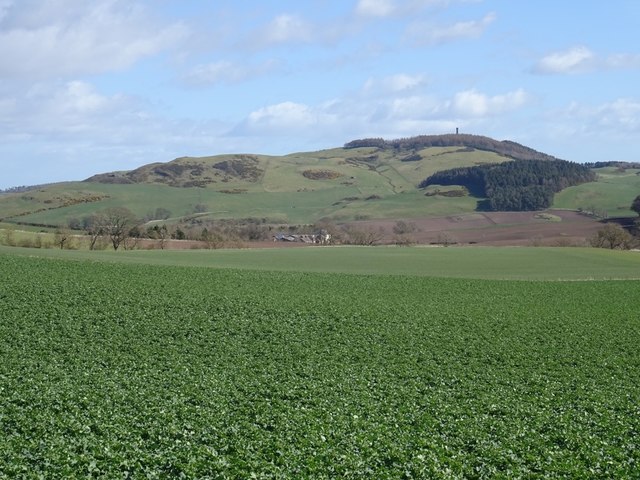
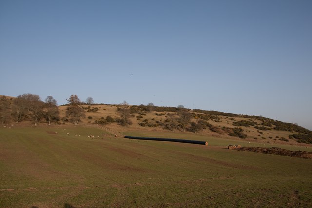
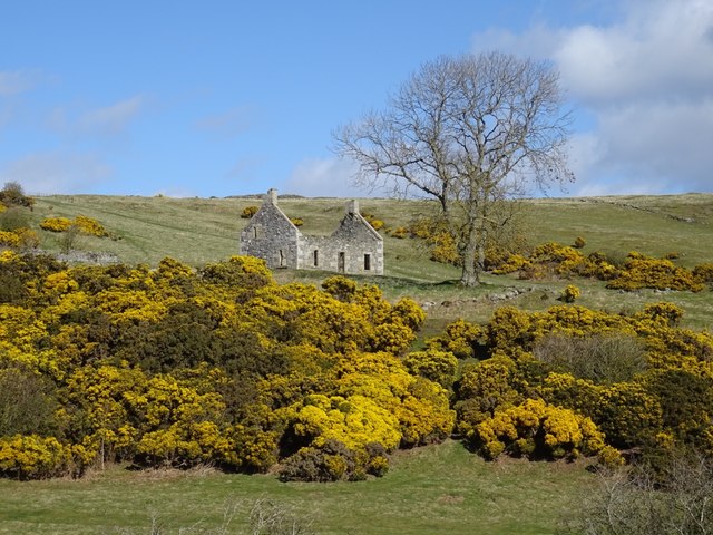
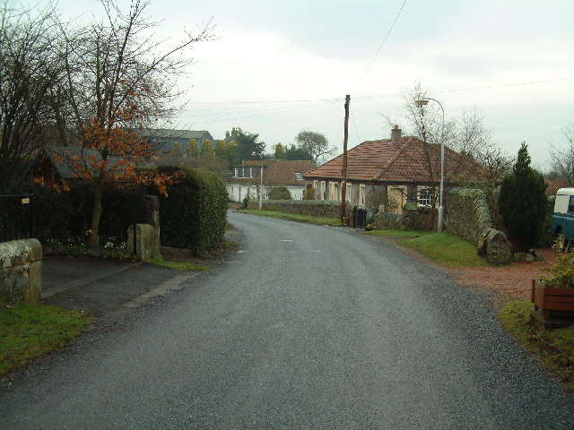
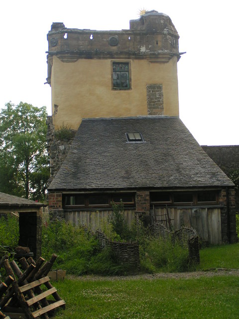
Collairnie Wood is a picturesque woodland located in the region of Fife, Scotland. Covering an area of approximately 80 hectares, this ancient forest is renowned for its natural beauty and diverse range of flora and fauna. The wood is situated near the village of Collessie and is easily accessible to visitors from nearby towns and cities.

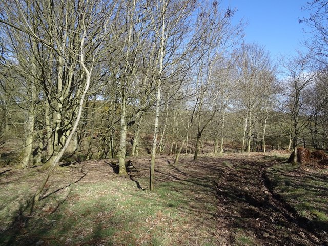
The wood is primarily composed of a mixture of broadleaf and coniferous trees, creating a rich and varied landscape. Oak, beech, and birch trees dominate the canopy, providing a dense and vibrant green cover during the summer months. The forest floor is carpeted with a diverse array of wildflowers, ferns, and mosses, adding to the enchanting atmosphere of the wood.

Collairnie Wood is a haven for wildlife enthusiasts, as it is home to a wide range of animal species. Red squirrels scurry amongst the tree branches, while roe deer can occasionally be spotted grazing in the clearings. The wood also attracts various bird species, including woodpeckers, tits, and owls, making it a popular destination for birdwatchers.

Visitors to Collairnie Wood can explore its numerous walking trails and immerse themselves in the tranquility of nature. The wood is well-maintained, with clear signposts and picnic spots, offering a perfect setting for a family day out or a peaceful retreat from the hustle and bustle of daily life.

Overall, Collairnie Wood is a magical woodland that showcases the natural beauty of Fife. Its lush vegetation, diverse wildlife, and serene atmosphere make it a must-visit destination for nature lovers and outdoor enthusiasts.

If you have any feedback on the listing, please let us know in the comments section below.

Collairnie Wood Images

Images are sourced within 2km of 56.337324/-3.1268739 or Grid Reference NO3016. Thanks to Geograph Open Source API. All images are credited.

Sheepfold at Dunboghill
Abandoned farm at Gowdie Wonderful views to the south and east, with Hopetown monument just visible on the skyline
Abandoned farm at Gowdie
Wonderful views to the south and east, with Hopetown monument just visible on the skyline
Collairniehill farm ruin
Shelter in the hills Three-sided shelter hidden high above Dunbog containing some picnic tables
Shelter in the hills
Three-sided shelter hidden high above Dunbog containing some picnic tables
Deer fence and gate Balmeadow Hill Newly planted woodland on Balmeadow Hill is protected with an extensive deer fence. Hopetoun Monument on the skyline.
Deer fence and gate Balmeadow Hill
Newly planted woodland on Balmeadow Hill is protected with an extensive deer fence. Hopetoun Monument on the skyline.
Gowdie A ruined farm above Letham. The grass above is grazed by cattle in the Summer months, the dark green is oilseed rape which had just started its Spring growth spurt.
Gowdie
A ruined farm above Letham. The grass above is grazed by cattle in the Summer months, the dark green is oilseed rape which had just started its Spring growth spurt.
Gowdie A ruined farm above Letham.
Gowdie
A ruined farm above Letham.
Oilseed rape, Gowdie Arable land above Letham with a view towards Mount Hill.
Oilseed rape, Gowdie
Arable land above Letham with a view towards Mount Hill.
Ruin, Gowdie East gable end of the farmhouse. I passed by quickly, it looks like a deep breath is all that is needed to bring it down. The stonework is interesting, undressed stone, probably cleared off the fields. The igneous rock of the Ochil Hills is not far beneath the surface here.
Ruin, Gowdie
East gable end of the farmhouse. I passed by quickly, it looks like a deep breath is all that is needed to bring it down. The stonework is interesting, undressed stone, probably cleared off the fields. The igneous rock of the Ochil Hills is not far beneath the surface here.
Hill above Gowdie A 198m summit with mobile mast. I cannot find the name of the hill, but I would bet Gowdie features in it. Did not hang about, I got the headache you used to get with early mobile telephones.  There is evidence that the summit area was once wooded and there are some surviving trees here. Other than the microwaves, a rather lovely place.
Hill above Gowdie
A 198m summit with mobile mast. I cannot find the name of the hill, but I would bet Gowdie features in it. Did not hang about, I got the headache you used to get with early mobile telephones. There is evidence that the summit area was once wooded and there are some surviving trees here. Other than the microwaves, a rather lovely place.
View towards Dunbog Hill A field of sheep, the only livestock I saw today, although in Summer there are always a lot of cattle up here. The pale object in the dip is a combine. There are about seven people walking across the far slope, the sheep were not too bothered.
View towards Dunbog Hill
A field of sheep, the only livestock I saw today, although in Summer there are always a lot of cattle up here. The pale object in the dip is a combine. There are about seven people walking across the far slope, the sheep were not too bothered.
Hills behind Letham Over the back from Gowdie overlooking a mixed landscape of arable land, small woods and open grazing with a lot of whins growing, especially on Collairnie Hill, my destination. There is a big clearance cairn in the newly ploughed field. Gorse grows well on basalt uplands, especially where there snow drifts tend to form. The distant hill is Norman's Law and the scenery there is similar to here. They may not be high, but Fife's bit of the Ochils is very rewarding.
Hills behind Letham
Over the back from Gowdie overlooking a mixed landscape of arable land, small woods and open grazing with a lot of whins growing, especially on Collairnie Hill, my destination. There is a big clearance cairn in the newly ploughed field. Gorse grows well on basalt uplands, especially where there snow drifts tend to form. The distant hill is Norman's Law and the scenery there is similar to here. They may not be high, but Fife's bit of the Ochils is very rewarding.
View towards Collairniehill The ruin of Collairniehill lies beneath gorse covered Collairnie Hill. The distant view is past Norman's Law to Craigowl Hill in the Sidlaws, past Dundee.
View towards Collairniehill
The ruin of Collairniehill lies beneath gorse covered Collairnie Hill. The distant view is past Norman's Law to Craigowl Hill in the Sidlaws, past Dundee.
Cunnoquhie West Hill Wood The track runs along the northern and western end of the wood and is very useful for dodging fences and crops. A continuation carries on to the ruins at Gowdie.  There is more woodland on Cunnoquhie West Hill  than currently mapped.
Cunnoquhie West Hill Wood
The track runs along the northern and western end of the wood and is very useful for dodging fences and crops. A continuation carries on to the ruins at Gowdie. There is more woodland on Cunnoquhie West Hill than currently mapped.
Cunnoquhie West Hill Although this hill is not named on the OS map, the woodland east of it is named as Cunnoquhie West Hill Wood (confusingly, and as opposed to Cunnoquhie East Hill Wood). I have therefore chosen to call it Connoquhie West Hill, but am prepared to be corrected!
Cunnoquhie West Hill
Although this hill is not named on the OS map, the woodland east of it is named as Cunnoquhie West Hill Wood (confusingly, and as opposed to Cunnoquhie East Hill Wood). I have therefore chosen to call it Connoquhie West Hill, but am prepared to be corrected!
Collairniehill A ruin beneath Collairnie Hill in an area of extensive whin growth.
Collairniehill
A ruin beneath Collairnie Hill in an area of extensive whin growth.
Byre, Collairniehill Ruined farm in the Fife Ochil Hills.
Byre, Collairniehill
Ruined farm in the Fife Ochil Hills.
Summit, Collairnie Hill There were once more trees here, lots of stumps in the long grass.  There have however been a lot of tree planting recently on the north side of the hill, so it is probably more wooded now. Cattle graze here in Summer.
Summit, Collairnie Hill
There were once more trees here, lots of stumps in the long grass. There have however been a lot of tree planting recently on the north side of the hill, so it is probably more wooded now. Cattle graze here in Summer.
Show me another place!

Collairnie Wood is located at Grid Ref: NO3016 (Lat: 56.337324, Lng: -3.1268739)

Unitary Authority: Fife

Police Authority: Fife

What 3 Words

///else.spark.caused. Near Newburgh, Fife

Related Wikis

Nearby Amenities

Located within 500m of 56.337324,-3.1268739
Collairnie
Place: isolated_dwelling
Lat/Long: 56.3412883/-3.1235522
Power: pole
Lat/Long: 56.3343259/-3.1215763
Power: pole
Lat/Long: 56.3349702/-3.1216942
Power: pole
Lat/Long: 56.3356089/-3.1217894
Power: pole
Lat/Long: 56.3361374/-3.1218928
Power: pole
Lat/Long: 56.3367542/-3.1219879
Power: pole
Lat/Long: 56.3374181/-3.1220996
Power: pole
Lat/Long: 56.3380566/-3.1226932
Power: pole
Lat/Long: 56.3386608/-3.1232765
Power: pole
Lat/Long: 56.3392684/-3.1238515
Power: pole
Lat/Long: 56.339868/-3.1244224
Power: pole
Lat/Long: 56.3403541/-3.1248784
Power: pole
Lat/Long: 56.3408722/-3.1253604
Power: pole
Lat/Long: 56.3413847/-3.1258692
The data included in this document is from www.openstreetmap.org. The data is made available under ODbL.

Have you been to Collairnie Wood?

Leave your review of Collairnie Wood below (or comments, questions and feedback).