Cunnoquhie East Hill Wood
Wood, Forest in Fife
Scotland
Cunnoquhie East Hill Wood
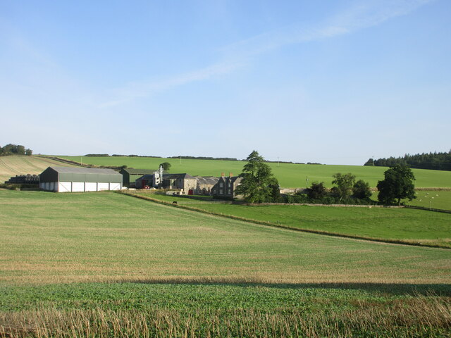
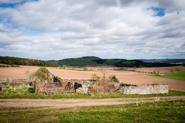
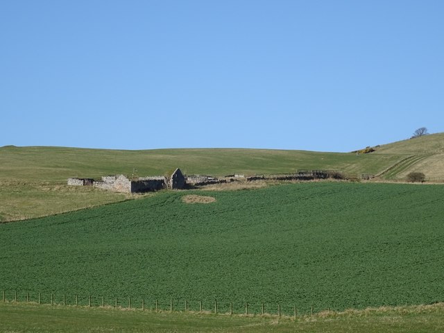
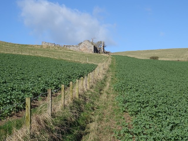
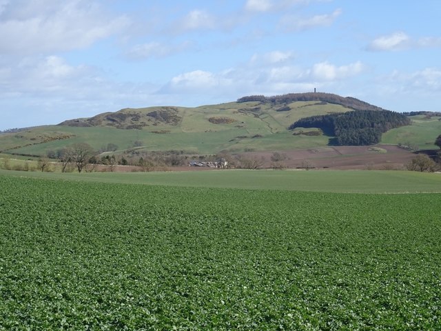
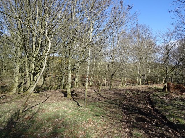
Cunnoquhie East Hill Wood is a stunning woodland located in Fife, Scotland. Covering an area of approximately 100 acres, it is nestled on the eastern slope of Cunnoquhie Hill, offering breathtaking views of the surrounding countryside.
This ancient woodland is characterized by its diverse range of trees, including oak, beech, birch, and ash. The trees create a dense and lush canopy, providing a habitat for a variety of wildlife, such as deer, squirrels, and a wide array of bird species.
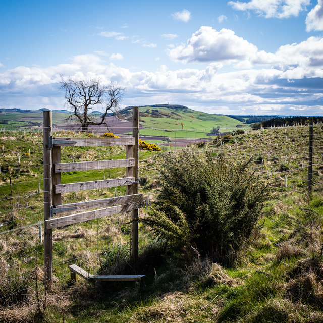
The wood is a popular destination for nature enthusiasts and hikers due to its well-maintained network of walking trails. These trails wind through the wood, taking visitors on a journey through its enchanting landscape. Along the way, walkers can discover hidden glens, picturesque streams, and vibrant wildflowers.
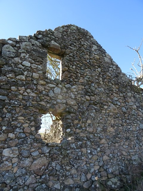
Cunnoquhie East Hill Wood also holds historical significance. It is believed to have been a site of human activity since ancient times, with remnants of Iron Age settlements and fortified structures found within its boundaries. These archaeological features add an extra layer of intrigue and fascination to the wood, attracting history enthusiasts and researchers alike.
Managed by the Woodland Trust, Cunnoquhie East Hill Wood is committed to preserving and protecting its natural beauty and cultural heritage. Regular maintenance and conservation efforts ensure that the wood remains a haven for both wildlife and visitors seeking solace in nature's embrace.
If you have any feedback on the listing, please let us know in the comments section below.
Cunnoquhie East Hill Wood Images
Images are sourced within 2km of 56.331864/-3.1266159 or Grid Reference NO3016. Thanks to Geograph Open Source API. All images are credited.


Cunnoquhie East Hill Wood is located at Grid Ref: NO3016 (Lat: 56.331864, Lng: -3.1266159)
Unitary Authority: Fife
Police Authority: Fife
What 3 Words
///muted.unguarded.sage. Near Ladybank, Fife
Nearby Locations
Related Wikis

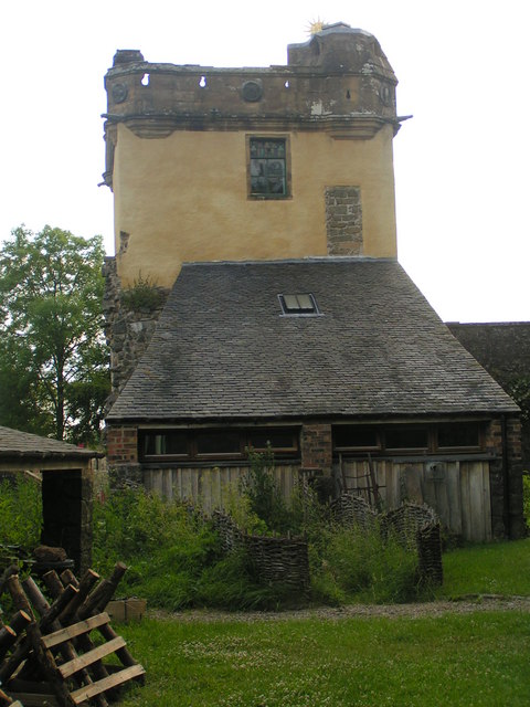
Collairnie Castle
Collairnie Castle is an L-plan castle in Dunbog, Fife, Scotland. The castle was extended in the 16th century, with a wing added of 4 storeys with an attic...

Secret Garden (outdoor nursery)
The Secret Garden is an outdoor nursery school in Letham, Fife, Scotland, for children aged 3–7 years. It is a forest kindergarten in which children walk...
Dunbog
Dunbog is a parish in the county of Fife in Scotland which is now (since 1983) united with the neighbouring parish of Abdie, Dunbog kirk closing at that...
Letham, Fife
Letham is a small village in Fife, Scotland, located just off the A92, around 5 miles from Cupar. According to the 2001 Census, Letham has 138 residents...

Fernie Castle
Fernie Castle is an enlarged sixteenth-century tower house in north-east Fife, Scotland. Originally built in an L-plan layout, it was later extended to...
Palace of Monimail
The Palace of Monimail, also known as Monimail Tower, was a Renaissance palace in Fife, Scotland. A residence of the Archbishops of St Andrews from the...

Melville House
Melville House is a 1697 house that lies to the south side of the Palace of Monimail near Collessie in Fife, Scotland. It has been a school and a training...
Parbroath Castle
Parbroath Castle is a ruined castle which was the former seat of Clan Seton near Parbroath farm, Creich, Fife, Scotland. Only a portion of a vault standing...
Nearby Amenities
Located within 500m of 56.331864,-3.1266159Have you been to Cunnoquhie East Hill Wood?
Leave your review of Cunnoquhie East Hill Wood below (or comments, questions and feedback).