Cowdenlaws Strip
Wood, Forest in Fife
Scotland
Cowdenlaws Strip

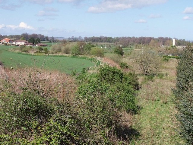
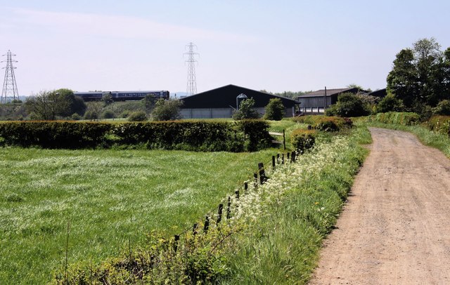
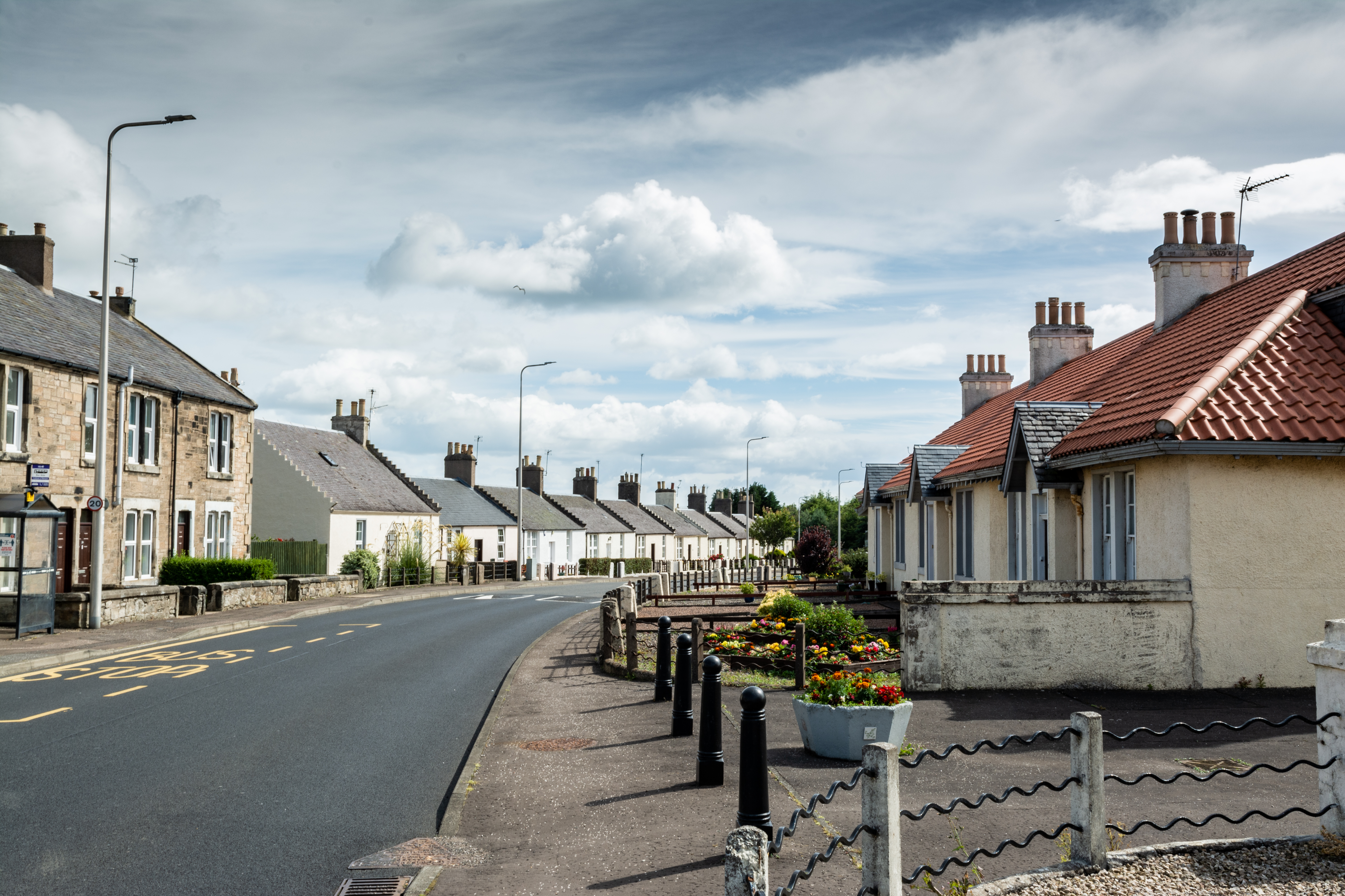
Cowdenlaws Strip is a picturesque woodland area located in Fife, Scotland. Spanning approximately 100 acres, this enchanting forest is a popular destination for nature enthusiasts and outdoor adventurers alike. Situated near the village of Auchtermuchty, Cowdenlaws Strip is easily accessible and offers a tranquil escape from the hustle and bustle of everyday life.
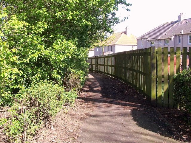
The woodland is dominated by a variety of tree species, including oak, beech, and birch, which create a dense canopy overhead. The forest floor is adorned with a rich carpet of moss, ferns, and wildflowers, adding to the area's natural beauty. Numerous walking trails wind through the wood, providing visitors with the opportunity to explore its hidden treasures and discover its diverse wildlife.
Wildlife enthusiasts will delight in the abundance of fauna that call Cowdenlaws Strip home. Red squirrels, roe deer, and a variety of bird species, including woodpeckers and owls, can often be spotted amidst the trees. The forest also boasts a small pond, attracting frogs, newts, and various water-dwelling insects.
Not only is Cowdenlaws Strip a haven for nature lovers, but it also holds historical significance. The woodland was once part of the larger Cowdenlaws estate, which dates back to the 16th century. Visitors can still find remnants of ancient stone walls and structures, providing a glimpse into the area's past.
Overall, Cowdenlaws Strip offers a serene and captivating woodland experience. Its natural beauty, abundant wildlife, and historical charm make it a must-visit destination for those seeking a peaceful retreat in the heart of Fife.
If you have any feedback on the listing, please let us know in the comments section below.
Cowdenlaws Strip Images
Images are sourced within 2km of 56.145704/-3.1216937 or Grid Reference NT3095. Thanks to Geograph Open Source API. All images are credited.


Cowdenlaws Strip is located at Grid Ref: NT3095 (Lat: 56.145704, Lng: -3.1216937)
Unitary Authority: Fife
Police Authority: Fife
What 3 Words
///automate.format.famous. Near Thornton, Fife
Nearby Locations
Related Wikis
Alfred Dunhill Links Championship
The Alfred Dunhill Links Championship is one of the richest golf tournaments on the European Tour. It is played in September, on three different links...

West Wemyss railway station
West Wemyss railway station served the village of West Wemyss , Fife, Scotland, from 1881 to 1949 on the Wemyss and Buckhaven Railway. == History == The...

Fife Ice Arena
Fife Ice Arena, originally known as Kirkcaldy Ice Rink, opened in 1938. The Kirkcaldy Ice Rink was designed by architects Williamson & Hubbard. Fife Ice...

Dysart, Fife
Dysart ( ; Scottish Gaelic: Dìseart) is a town and former royal burgh located on the south-east coast between Kirkcaldy and West Wemyss in Fife, Scotland...
Thornton Stadium
Thornton Stadium is a greyhound racing track in Thornton, Kirkcaldy, Fife, Scotland. The track is the last remaining independent track and is therefore...
Dysart railway station, Fife
Dysart railway station served the burgh of Dysart, Fife, Scotland from 1847 to 1969 on the Edinburgh and Northern Railway. == History == The station opened...
Coaltown of Wemyss
Coaltown of Wemyss () is a village in south-east Fife, Scotland, around 5 km north of Kirkcaldy. The town was built in the 1890s as an estate village on...
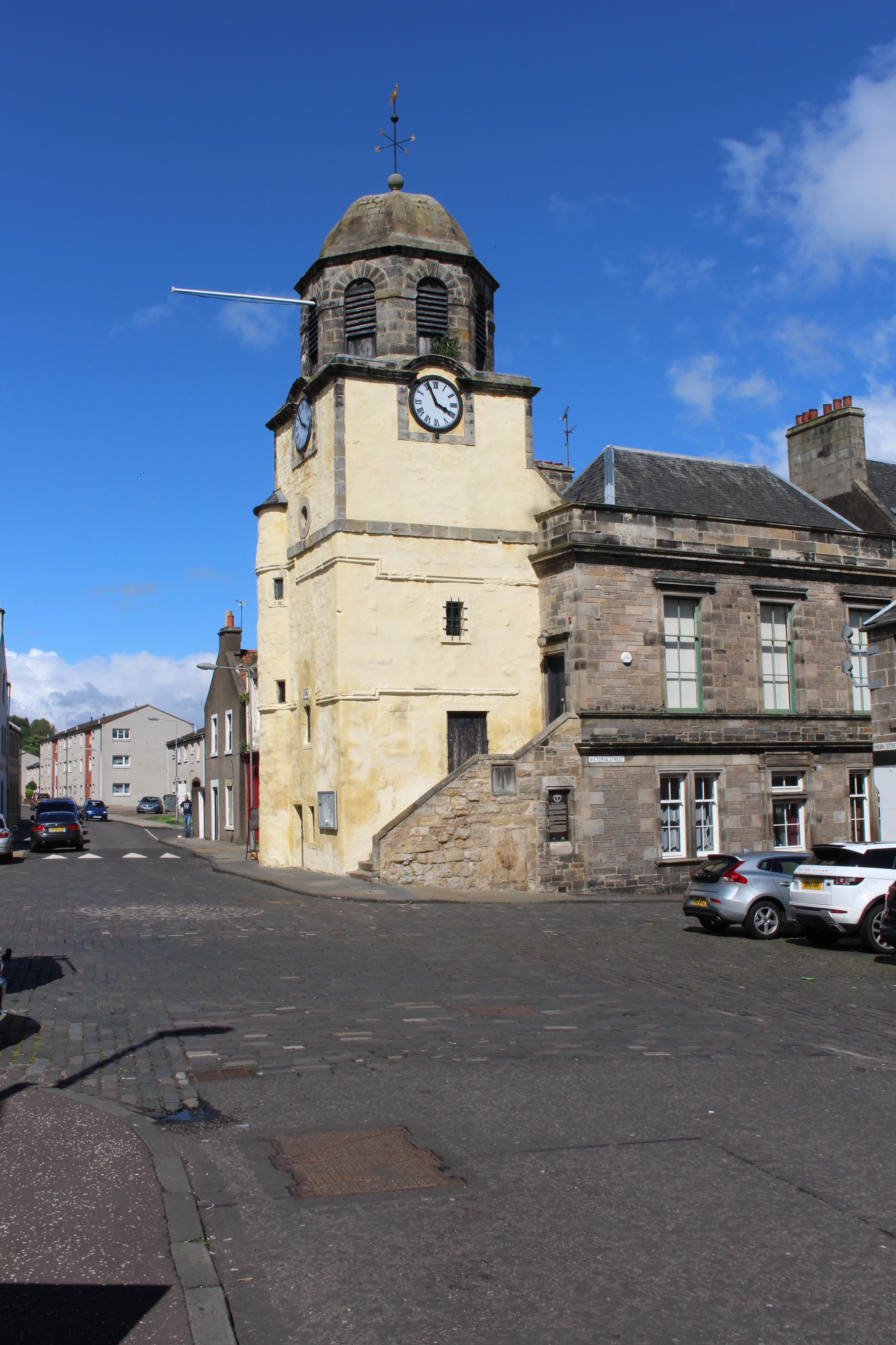
Dysart Tolbooth and Town House
Dysart Tolbooth and Town House is a municipal building in the High Street, Dysart, Fife, Scotland. The structure, which was comprehensively restored in...
Nearby Amenities
Located within 500m of 56.145704,-3.1216937Have you been to Cowdenlaws Strip?
Leave your review of Cowdenlaws Strip below (or comments, questions and feedback).