Catton
Settlement in Northumberland
England
Catton
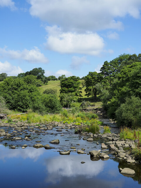
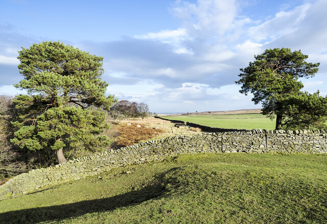
Catton is a small village located in the county of Northumberland, England. Situated in the picturesque Tyne Valley, it lies approximately 15 miles west of the market town of Hexham and 25 miles west of Newcastle upon Tyne. The village is nestled within a rural landscape, surrounded by rolling hills and farmland, offering stunning views of the Northumberland countryside.
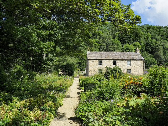
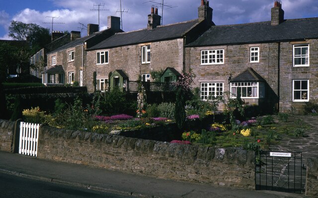
Catton is known for its charming and traditional character, with a tight-knit community that takes great pride in its heritage. The village is home to a number of historic buildings, including a beautiful 12th-century church, St. Michael's, which stands as a testament to the area's rich history.
Despite its small size, Catton offers a range of amenities for its residents and visitors. The village boasts a popular pub, The Crown Inn, where locals gather for a pint and hearty pub food. There is also a village hall that serves as a hub for community activities and events.
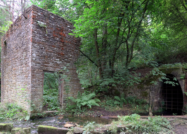
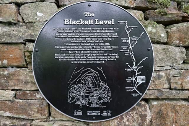
Surrounded by nature, Catton is an ideal destination for outdoor enthusiasts. The nearby Northumberland National Park provides ample opportunities for hiking, cycling, and exploring the unspoiled beauty of the region. Additionally, the village is located near the Hadrian's Wall Path, a popular long-distance trail that follows the route of the iconic Roman wall.
In summary, Catton is a charming and idyllic village in Northumberland, offering a peaceful escape from the hustle and bustle of city life. With its rich history, natural beauty, and close-knit community, it is a hidden gem for those seeking a tranquil retreat in the heart of the English countryside.
If you have any feedback on the listing, please let us know in the comments section below.
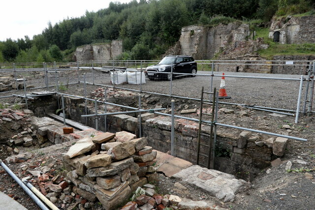
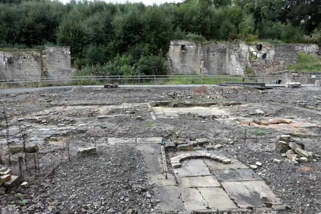
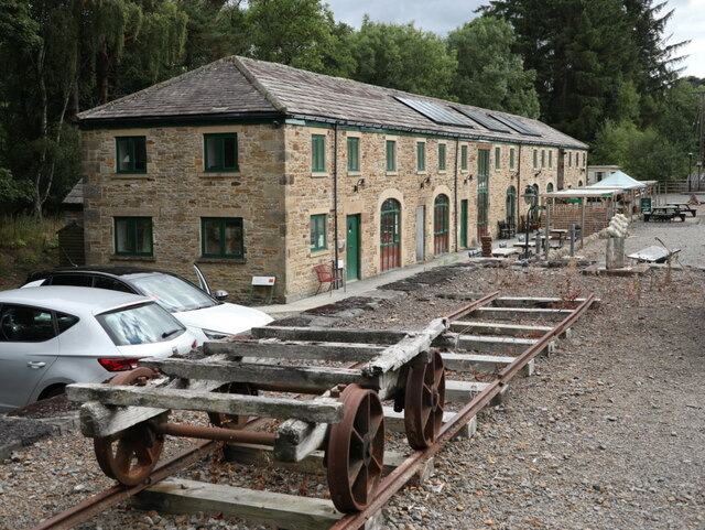
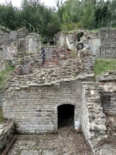
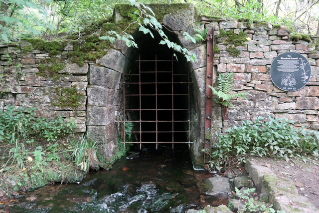
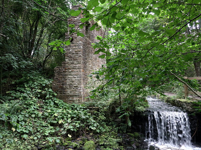
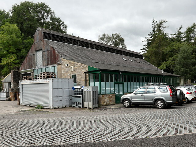
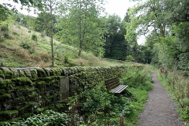
Catton Images
Images are sourced within 2km of 54.91472/-2.267965 or Grid Reference NY8257. Thanks to Geograph Open Source API. All images are credited.


Catton is located at Grid Ref: NY8257 (Lat: 54.91472, Lng: -2.267965)
Unitary Authority: Northumberland
Police Authority: Northumbria
What 3 Words
///zest.outsmart.applause. Near Haydon Bridge, Northumberland
Nearby Locations
Related Wikis

Catton, Northumberland
Catton is a village in Northumberland, England. It is about 7 miles (11 km) to the southwest of Hexham and is located on the outskirts of Allendale �...

Allendale railway station
Allendale railway station was the terminus of the single track branch of the Hexham and Allendale Railway, in north east England. The line connected villages...
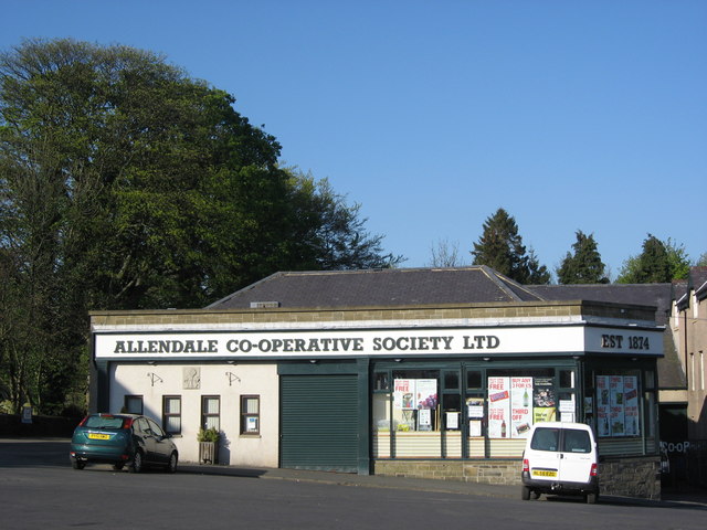
Allendale Co-operative Society
Allendale Co-operative Society is a small consumer co-operative in the village of Allendale, Northumberland, England. Founded in 1874 as the Allendale...

Museum of Classic Sci-Fi
The Museum of Classic Sci-Fi is in Allendale, Northumberland in England. The museum opened in 2018 and houses a collection of more than 200 props, costumes...

Allendale, Northumberland
Allendale, often marked on maps as Allendale Town, is a village and civil parish in south west Northumberland, England. It is located within the North...

Staward Halt railway station
Staward Halt is a closed stone built railway station situated on a single track branch railway line in Northumberland, England, that ran from Allendale...

Allen Confluence Gravels
The Allen Confluence Gravels is the name given to a Site of Special Scientific Interest (SSSI) in Northumberland, England. The site, listed since 1968...

Langley-on-Tyne railway station
Langley-on-Tyne is a closed stone built railway station situated on a single track branch railway line in Northumberland, England, that ran from Allendale...
Nearby Amenities
Located within 500m of 54.91472,-2.267965Have you been to Catton?
Leave your review of Catton below (or comments, questions and feedback).