Cattlegate

Settlement in Hertfordshire Welwyn Hatfield

England

Cattlegate

Clockwise M25, Enfield Officially named the London Orbital and frequently derided as nothing more than a very big car park, the M25 is a 117-mile orbital motorway that encircles London; one of the world's biggest ring roads (Europe's second longest orbital road after the Berliner Ring, which is 122 miles). It is not, however, a continuous loop of motorway as the Dartford Crossing section (comprising the Dartford Tunnels and the Queen Elizabeth II Bridge) over the Thames and its approach roads are designated as the A282. 

Constructed between 1975 and 1986, the M25 is reputedly the most expensive motorway Britain ever built, costing a total of £909m or roughly £7.5m per mile, but at the time of its planning, the demand for the road was considerably underestimated so that when it was finally completed in 1986, it was already out of date. Demand outstripped capacity within a few years and ever since then it's been very heavily congested. 

The M25 is one of the UK’s busiest motorways, carrying up to 200,000 vehicles and 10,000 HGVs per day (AADT - Annual Average Daily Traffic flow) on the section near to Heathrow Airport. Since its opening in the 1980s, the southern, western and eastern sections have been widened to largely dual four lane (D4M) standard, but much of the motorway retains its dual three lane road (D3M) cross-section as originally built. 

The M25 was home to England's first Variable Speed Limits on motorways between the A3 and M4 in the early 1990s.

<span class="nowrap"><a title="http://www.cbrd.co.uk/motorway/m25/" rel="nofollow ugc noopener" href="http://www.cbrd.co.uk/motorway/m25/">Link</a><img style="margin-left:2px;" alt="External link" title="External link - shift click to open in new window" src="https://s1.geograph.org.uk/img/external.png" width="10" height="10"/></span>  cbrd
<span class="nowrap"><a title="http://www.sabre-roads.org.uk/wiki/index.php?title=M25" rel="nofollow ugc noopener" href="http://www.sabre-roads.org.uk/wiki/index.php?title=M25">Link</a><img style="margin-left:2px;" alt="External link" title="External link - shift click to open in new window" src="https://s1.geograph.org.uk/img/external.png" width="10" height="10"/></span>  SABRE
Clockwise M25, Enfield Credit: David Dixon

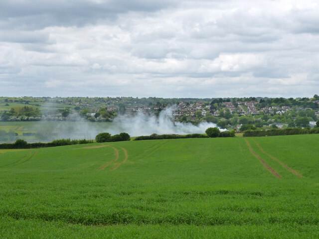
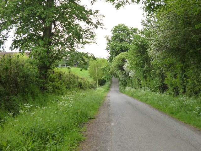
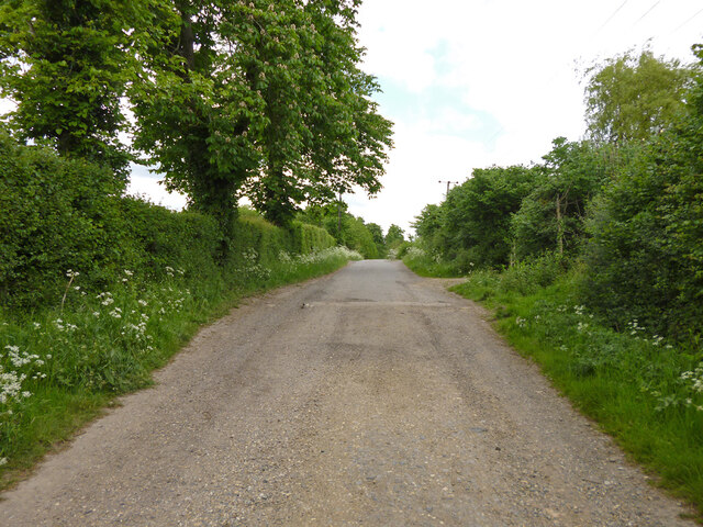
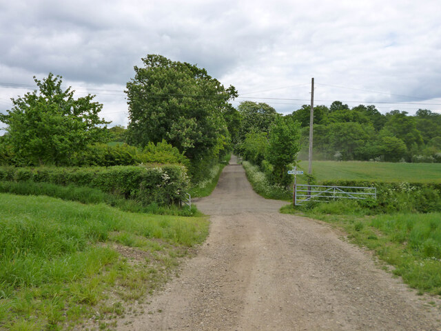
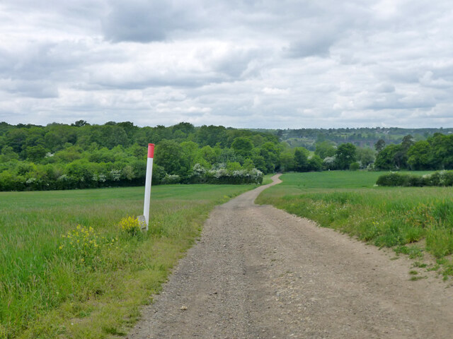
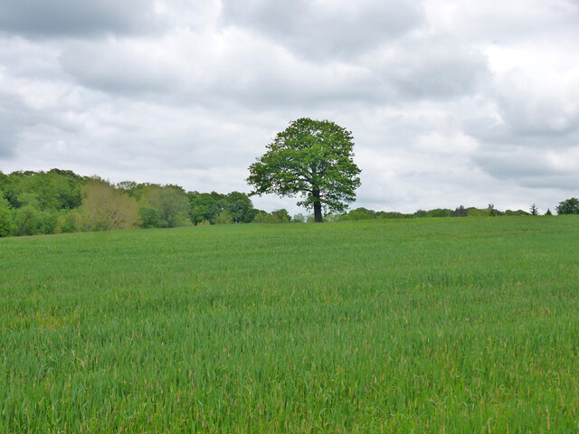
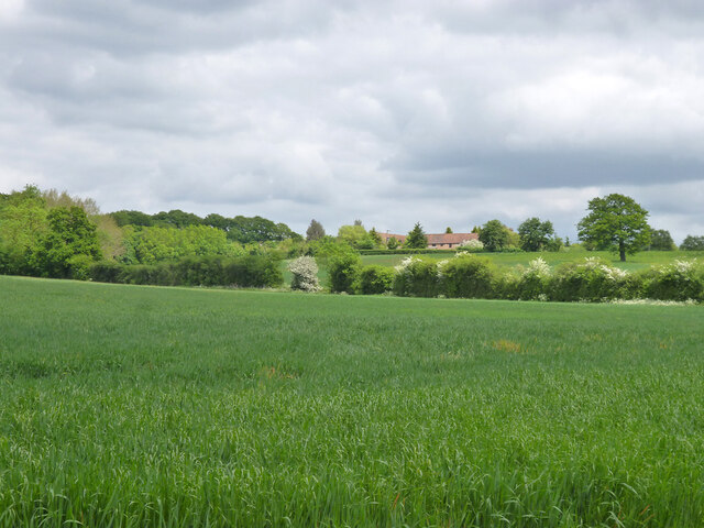
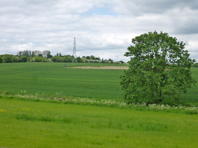
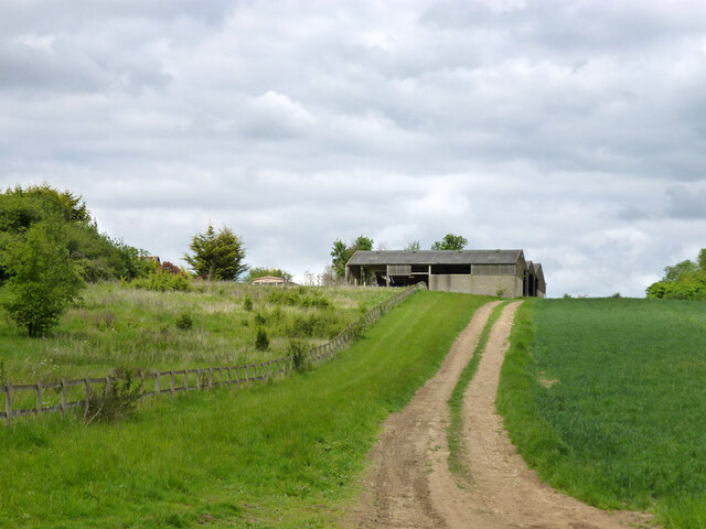
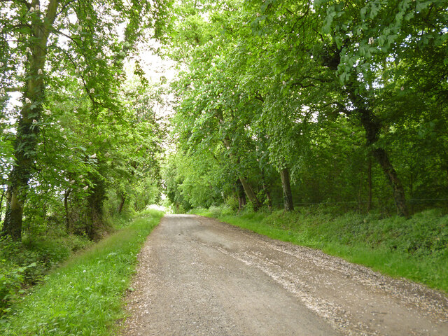
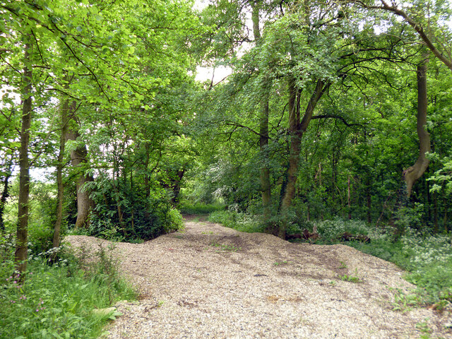
Cattlegate is a small village located in the county of Hertfordshire, England. Situated approximately 25 miles north of London, Cattlegate is part of the East Hertfordshire district and falls within the civil parish of Bayford. The village is primarily residential and boasts a tranquil and picturesque setting, surrounded by green fields and countryside.

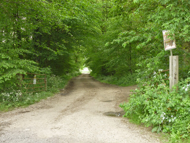
Cattlegate is well-connected to neighboring towns and cities, with easy access to major roadways including the A1(M) and M25. The village is served by Bayford railway station, providing convenient transportation links to London and other nearby destinations.

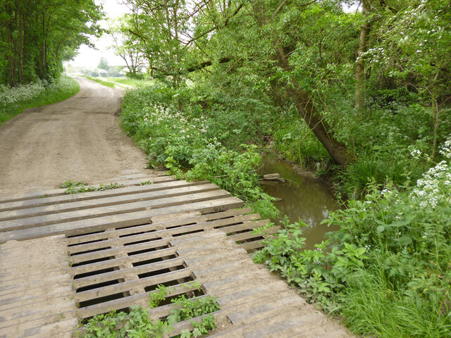
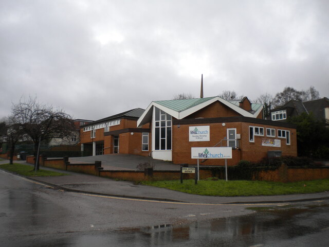
Despite its small size, Cattlegate offers a range of amenities to its residents. The village features a local pub, providing a gathering place for the community. Additionally, there are several recreational facilities nearby, including parks, nature reserves, and golf courses, offering opportunities for outdoor activities.

Cattlegate is surrounded by a wealth of natural beauty and is located within close proximity to some of Hertfordshire's notable attractions. The village is located near Hatfield House, a historic country house and gardens that attract visitors from far and wide. Further afield, the charming town of Hertford and the scenic Lee Valley Regional Park are easily accessible from Cattlegate.

Overall, Cattlegate provides a peaceful and idyllic living environment with easy access to both rural and urban amenities, making it an attractive place to reside for individuals seeking a balance between tranquility and convenience.

If you have any feedback on the listing, please let us know in the comments section below.

Cattlegate Images

Images are sourced within 2km of 51.692385/-0.114782 or Grid Reference TL3000. Thanks to Geograph Open Source API. All images are credited.

Clockwise M25, Enfield Officially named the London Orbital and frequently derided as nothing more than a very big car park, the M25 is a 117-mile orbital motorway that encircles London; one of the world's biggest ring roads (Europe's second longest orbital road after the Berliner Ring, which is 122 miles). It is not, however, a continuous loop of motorway as the Dartford Crossing section (comprising the Dartford Tunnels and the Queen Elizabeth II Bridge) over the Thames and its approach roads are designated as the A282. 

Constructed between 1975 and 1986, the M25 is reputedly the most expensive motorway Britain ever built, costing a total of £909m or roughly £7.5m per mile, but at the time of its planning, the demand for the road was considerably underestimated so that when it was finally completed in 1986, it was already out of date. Demand outstripped capacity within a few years and ever since then it's been very heavily congested. 

The M25 is one of the UK’s busiest motorways, carrying up to 200,000 vehicles and 10,000 HGVs per day (AADT - Annual Average Daily Traffic flow) on the section near to Heathrow Airport. Since its opening in the 1980s, the southern, western and eastern sections have been widened to largely dual four lane (D4M) standard, but much of the motorway retains its dual three lane road (D3M) cross-section as originally built. 

The M25 was home to England's first Variable Speed Limits on motorways between the A3 and M4 in the early 1990s.

<span class="nowrap"><a title="http://www.cbrd.co.uk/motorway/m25/" rel="nofollow ugc noopener" href="http://www.cbrd.co.uk/motorway/m25/">Link</a><img style="margin-left:2px;" alt="External link" title="External link - shift click to open in new window" src="https://s1.geograph.org.uk/img/external.png" width="10" height="10"/></span>  cbrd
<span class="nowrap"><a title="http://www.sabre-roads.org.uk/wiki/index.php?title=M25" rel="nofollow ugc noopener" href="http://www.sabre-roads.org.uk/wiki/index.php?title=M25">Link</a><img style="margin-left:2px;" alt="External link" title="External link - shift click to open in new window" src="https://s1.geograph.org.uk/img/external.png" width="10" height="10"/></span>  SABRE
Clockwise M25, Enfield
Officially named the London Orbital and frequently derided as nothing more than a very big car park, the M25 is a 117-mile orbital motorway that encircles London; one of the world's biggest ring roads (Europe's second longest orbital road after the Berliner Ring, which is 122 miles). It is not, however, a continuous loop of motorway as the Dartford Crossing section (comprising the Dartford Tunnels and the Queen Elizabeth II Bridge) over the Thames and its approach roads are designated as the A282. Constructed between 1975 and 1986, the M25 is reputedly the most expensive motorway Britain ever built, costing a total of £909m or roughly £7.5m per mile, but at the time of its planning, the demand for the road was considerably underestimated so that when it was finally completed in 1986, it was already out of date. Demand outstripped capacity within a few years and ever since then it's been very heavily congested. The M25 is one of the UK’s busiest motorways, carrying up to 200,000 vehicles and 10,000 HGVs per day (AADT - Annual Average Daily Traffic flow) on the section near to Heathrow Airport. Since its opening in the 1980s, the southern, western and eastern sections have been widened to largely dual four lane (D4M) standard, but much of the motorway retains its dual three lane road (D3M) cross-section as originally built. The M25 was home to England's first Variable Speed Limits on motorways between the A3 and M4 in the early 1990s. LinkExternal link cbrd LinkExternal link SABRE
Miniature Tents Seen in the Bushcraft Store. I thought that they might prove suitable, should the squirrels decide on a camping holiday, this summer.
Miniature Tents
Seen in the Bushcraft Store. I thought that they might prove suitable, should the squirrels decide on a camping holiday, this summer.
Christmas scene in Cuffley
Fire down below But it appears to be agricultural and monitored, so everything is all right, isn't it?
Fire down below
But it appears to be agricultural and monitored, so everything is all right, isn't it?
Burnt Farm Ride A private tarmac road as far as Burnt Farm, thereafter a well surfaced track. Public bridleway Cheshunt 17.
Burnt Farm Ride
A private tarmac road as far as Burnt Farm, thereafter a well surfaced track. Public bridleway Cheshunt 17.
Burnt Farm Ride The surface changes here, tarmac northwards, just 'mac' to the south.  Public bridleway Cheshunt 17.
Burnt Farm Ride
The surface changes here, tarmac northwards, just 'mac' to the south. Public bridleway Cheshunt 17.
Crossways south of Burnt Farm Burnt Farm Ride runs left and right, bridleway Cheshunt 17 to the left, bridleway Cheshunt 70 to the right. Straight on beyond the junction is bridleway Cheshunt 73. Viewed from footpath Cheshunt 59.
Crossways south of Burnt Farm
Burnt Farm Ride runs left and right, bridleway Cheshunt 17 to the left, bridleway Cheshunt 70 to the right. Straight on beyond the junction is bridleway Cheshunt 73. Viewed from footpath Cheshunt 59.
Farm track crosses gas pipeline The track is public footpath Cheshunt 59.
Farm track crosses gas pipeline
The track is public footpath Cheshunt 59.
Tree in field west of Burnt Farm
View over fields towards Burnt Farm
Bridge over Cuffley Brook A curious structure, looking like a cattle grid was incorporated in the bridge, and then there was a partial change of heart. Public footpath Cheshunt 59 crosses.
Bridge over Cuffley Brook
A curious structure, looking like a cattle grid was incorporated in the bridge, and then there was a partial change of heart. Public footpath Cheshunt 59 crosses.
Farmland north of Northaw Brook
Private track through Nursery Plantation
Barns at Burnt Farm
Barns at Burnt Farm
Bridleway Cheshunt 73 heads east A wood called Cattlins is on the right.
Bridleway Cheshunt 73 heads east
A wood called Cattlins is on the right.
Track into a wood called Cattlins At the eastern edge of the wood.
Track into a wood called Cattlins
At the eastern edge of the wood.
St Andrew's Church, Cuffley The Church of England establishment in the village. Seen from the end of Station Road.
St Andrew's Church, Cuffley
The Church of England establishment in the village. Seen from the end of Station Road.
Life Church, Cuffley Apparently an independent evangelical church. Seen from Plough Hill.
Life Church, Cuffley
Apparently an independent evangelical church. Seen from Plough Hill.
Show me another place!

Cattlegate is located at Grid Ref: TL3000 (Lat: 51.692385, Lng: -0.114782)

Administrative County: Hertfordshire

District: Welwyn Hatfield

Police Authority: Hertfordshire

What 3 Words

///take.tuned.final. Near Cuffley, Hertfordshire

Nearby Locations

Cattlegate

Related Wikis

The Paddocks

The Paddocks, in Crews Hill, Enfield, London, is a farmhouse that is grade II* listed with Historic England. It dates from the first half of the seventeenth...

Crews Hill railway station

Crews Hill railway station serves Crews Hill in the London Borough of Enfield, north London. It is 11 miles 40 chains (11.50 miles, 18.51 km) down the...

Northaw and Cuffley

Northaw and Cuffley is a civil parish in the Welwyn Hatfield borough of Hertfordshire, England. Located approximately 13.5 miles (21.7 km) north of central...

Botany Bay, London

Botany Bay is a hamlet in Enfield, England, on the outskirts of north London, located within the London Borough of Enfield. It has a population close to...

Cuffley railway station

Cuffley railway station serves the village of Cuffley in the Welwyn Hatfield district of Hertfordshire. It also serves other nearby settlements, namely...

Crews Hill

Crews Hill is an elevated and green-buffered former hamlet grown into a small village-size community on the northern outskirts of London centred 12.3 miles...

Cuffley

Cuffley is a village in the civil parish of Northaw and Cuffley, in the Welwyn Hatfield district of south-east Hertfordshire located between Cheshunt and...

St John's Senior School

St. John's Prep and Senior School is an English all-through school, co-educational day school near the M25 motorway in The Ridgeway, Botany Bay, Enfield...

Nearby Amenities

Located within 500m of 51.692385,-0.114782
Created By: YahooApplet 1.0
Lat/Long: 51.6894029/-0.1159032
Created By: YahooApplet 1.0
Lat/Long: 51.6901768/-0.1139689
Created By: YahooApplet 1.0
Lat/Long: 51.6892834/-0.1157495
Created By: YahooApplet 1.0
Lat/Long: 51.6900742/-0.1138281
Created By: YahooApplet 1.0
Lat/Long: 51.6915328/-0.1086144
Created By: YahooApplet 1.0
Lat/Long: 51.6913972/-0.1085873
Ele: 55.881958
Lat/Long: 51.6895527/-0.1187146
Created By: YahooApplet 1.0
Lat/Long: 51.6905801/-0.1124287
Created By: YahooApplet 1.0
Lat/Long: 51.6907131/-0.112536
Power: tower
Lat/Long: 51.6910513/-0.1194483
Power: tower
Lat/Long: 51.690599/-0.1146676
Power: tower
Lat/Long: 51.6902531/-0.1110798
Communication Mobile Phone: yes
Man Made: mast
Tower Type: communication
Lat/Long: 51.6909893/-0.1135847
Emergency Bay
Lat/Long: 51.6896224/-0.1149099
Phone
Emergency: phone
Operator: National Highways
Operator Wikidata: Q5760006
Lat/Long: 51.6895206/-0.1148106
Camera Mount: pole
Camera Type: panning
Man Made: surveillance
Operator: National Highways
Operator Wikidata: Q5760006
Surveillance: outdoor
Surveillance Type: camera
Surveillance Zone: traffic
Lat/Long: 51.6902006/-0.11424
The data included in this document is from www.openstreetmap.org. The data is made available under ODbL.

Have you been to Cattlegate?

Leave your review of Cattlegate below (or comments, questions and feedback).