Drummond Moor Wood

Wood, Forest in Midlothian

Scotland

Drummond Moor Wood

Mount Lothian to Rosewell road Limestone scenery near Mount Lothian.
Mount Lothian to Rosewell road Credit: Richard Webb

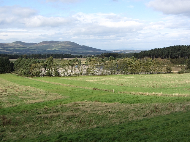
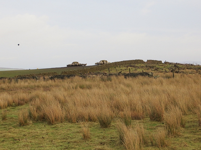
Drummond Moor Wood is a stunning forest located in Midlothian, Scotland. Covering an area of approximately 100 acres, this woodland is a haven for nature enthusiasts, outdoor adventurers, and those seeking tranquility amidst the beauty of nature.

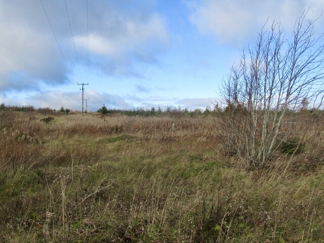
The wood is characterized by its diverse range of tree species, including oak, beech, birch, and Scots pine. The dense canopy provides a cool and shaded environment, perfect for a leisurely stroll on a sunny day. The forest floor is adorned with an array of wildflowers, creating a vibrant and picturesque landscape.

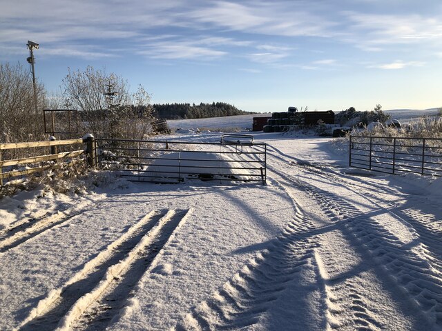
Visitors can explore the wood through a network of well-maintained paths that wind their way through the forest. These paths offer a range of walking options, from short and easy routes to longer, more challenging trails. Along the way, there are several benches and picnic areas, providing opportunities for relaxation and enjoying a packed lunch amidst the serenity of the woodland.

Drummond Moor Wood is also home to a rich variety of wildlife. Birdwatchers can spot a wide range of species, including woodpeckers, owls, and various songbirds. Red squirrels are a common sight, scurrying through the branches and foraging for food. The wood also hosts a diverse range of insects, butterflies, and small mammals, adding to the biodiversity of the area.

With its natural beauty and peaceful ambiance, Drummond Moor Wood offers a refreshing escape from the hustle and bustle of everyday life. Whether you are seeking a quiet retreat or an active outdoor adventure, this forest is a must-visit destination in Midlothian.

If you have any feedback on the listing, please let us know in the comments section below.

Drummond Moor Wood Images

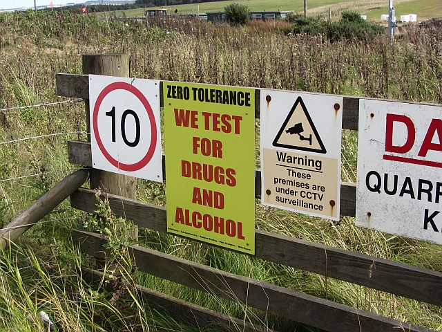
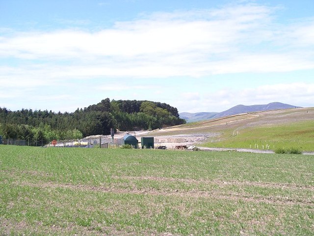
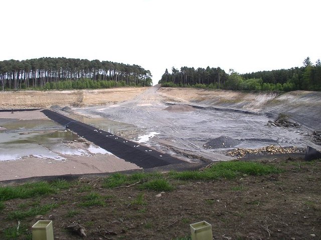
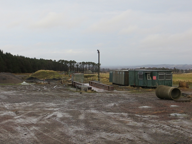
Images are sourced within 2km of 55.823128/-3.1672682 or Grid Reference NT2659. Thanks to Geograph Open Source API. All images are credited.

Mount Lothian to Rosewell road Limestone scenery near Mount Lothian.
Mount Lothian to Rosewell road
Limestone scenery near Mount Lothian.
Marsh near Mount Lothian
Pasture by Auchrielaw
Cauldhall Moor The rashy poorer grazing on the coal measures contrasts with the nearby limestone terrain where the grass is most definitely greener.
Cauldhall Moor
The rashy poorer grazing on the coal measures contrasts with the nearby limestone terrain where the grass is most definitely greener.
Young trees on King's Seat
Opencast mining site Some years after the coal mine closed, the area is used to store silage and machinery.
Opencast mining site
Some years after the coal mine closed, the area is used to store silage and machinery.
Field access track, Fallhills A short track through a strip wood to the fields belong.
Field access track, Fallhills
A short track through a strip wood to the fields belong.
Lilyburn Derelict building beside the A6094 near Howgate.
Lilyburn
Derelict building beside the A6094 near Howgate.
Kings Seat Grassy hill above Lilyburn.
Kings Seat
Grassy hill above Lilyburn.
Landfill, Drummond Moor Beyond grass fields is a lined pit, now being filled with rubbish.
Landfill, Drummond Moor
Beyond grass fields is a lined pit, now being filled with rubbish.
Drummond Moor landfill entrance Entrance to a landfill site.
Drummond Moor landfill entrance
Entrance to a landfill site.
Entrance, Howgate open cast The coal mine here is being reclaimed.
Entrance, Howgate open cast
The coal mine here is being reclaimed.
Landfill gas power plant, Drummond Moor Drummond Moor operated as a landfill site for many years, at what had originally been a sand quarry. The foreground is mounded domestic rubbish which has been capped and planted. Pipes have also been inserted to capture the methane released by rotting organic material. This is used to fuel a generator in the middle of the picture. A high voltage power line was laid under the road and through Roslin Glen to carry the electricity away.
Landfill gas power plant, Drummond Moor
Drummond Moor operated as a landfill site for many years, at what had originally been a sand quarry. The foreground is mounded domestic rubbish which has been capped and planted. Pipes have also been inserted to capture the methane released by rotting organic material. This is used to fuel a generator in the middle of the picture. A high voltage power line was laid under the road and through Roslin Glen to carry the electricity away.
Landfill site preparation, Drummond Moor This is the last section of the Drummond Moor landfill site prepared to receive waste. The membrane is intended to prevent leakage of liquid leachate into the groundwater. This picture was taken in 2004; the site had closed by 2012.
Landfill site preparation, Drummond Moor
This is the last section of the Drummond Moor landfill site prepared to receive waste. The membrane is intended to prevent leakage of liquid leachate into the groundwater. This picture was taken in 2004; the site had closed by 2012.
Howgate open cast Largely restored, a few sheds remain.
Howgate open cast
Largely restored, a few sheds remain.
Cauldhall Moor Sheep on winter fodder at the site of a proposed open cast mine. A conifer plantation has been cut down.
Cauldhall Moor
Sheep on winter fodder at the site of a proposed open cast mine. A conifer plantation has been cut down.
Winter grassland Near Mount Lothian.
Winter grassland
Near Mount Lothian.
Strip wood near Howgate The butt of a strip wood and evidence of another visit from the dumpers.
Strip wood near Howgate
The butt of a strip wood and evidence of another visit from the dumpers.
Show me another place!

Drummond Moor Wood is located at Grid Ref: NT2659 (Lat: 55.823128, Lng: -3.1672682)

Unitary Authority: Midlothian

Police Authority: The Lothians and Scottish Borders

What 3 Words

///arming.late.wrenching. Near Rosewell, Midlothian

Nearby Locations

Drummond Moor Wood

Related Wikis

Rosslynlee Hospital

Rosslynlee Hospital was a mental health facility near Roslin, Midlothian in Scotland. The main hospital building is a Grade C listed building. Rosslynlee...

Rosslynlee Hospital Halt railway station

Rosslynlee Hospital Halt railway station that served Rosslynlee Hospital, Midlothian, Scotland from 1958 to 1962 on the Peebles Railway. == History... ==

Rosslynlee railway station

Rosslynlee railway station served the village of Roslin, Midlothian, Scotland from 1855 to 1962 on the Peebles Railway. == History == The station opened...

Woodhouselee

Woodhouselee is an estate in Midlothian in the parish of Glencorse. It has been owned by gentry including William Tytler and Alexander Fraser Tytler....

Nearby Amenities

Located within 500m of 55.823128,-3.1672682
Power: pole
Lat/Long: 55.8242056/-3.1619153
The data included in this document is from www.openstreetmap.org. The data is made available under ODbL.

Have you been to Drummond Moor Wood?

Leave your review of Drummond Moor Wood below (or comments, questions and feedback).