Couldhall Moor

Wood, Forest in Midlothian

Scotland

Couldhall Moor

Mount Lothian to Rosewell road Limestone scenery near Mount Lothian.
Mount Lothian to Rosewell road Credit: Richard Webb

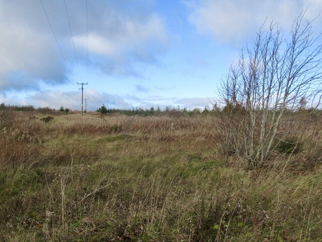
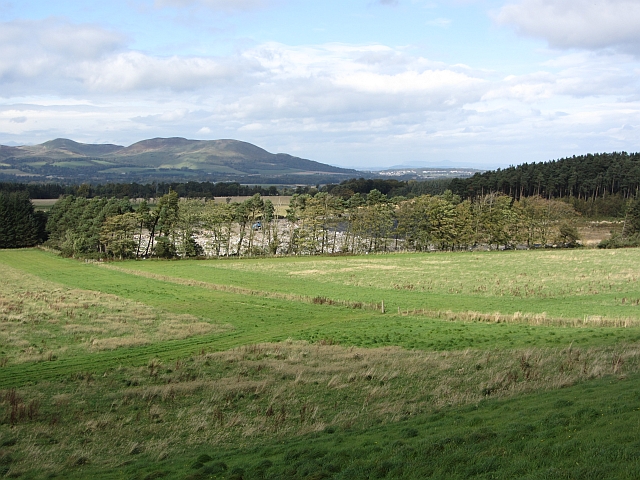
Coulshill Moor, located in Midlothian, Scotland, is a picturesque wood and forest area that spans approximately 200 acres. Known for its natural beauty and tranquil atmosphere, this enchanting landscape offers visitors a chance to escape the hustle and bustle of city life.

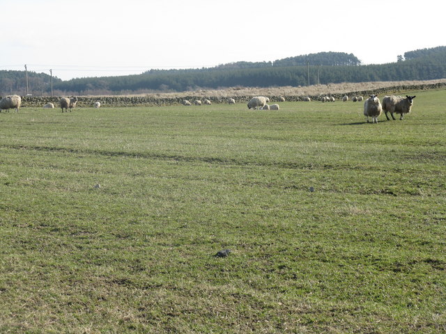
The moor is characterized by its dense woodlands, which consist primarily of native tree species such as oak, birch, and rowan. These majestic trees provide a habitat for various wildlife, including deer, foxes, and a wide variety of bird species. Nature enthusiasts can explore the moor's network of walking trails, which wind through the forest and offer breathtaking views of the surrounding countryside.

One of the highlights of Coulshill Moor is its diverse flora and fauna. The forest floor is covered in a carpet of wildflowers, including bluebells, primroses, and wood sorrels, which bloom during the spring months. The moor is also home to several species of fungi, adding a touch of color and intrigue to the landscape.

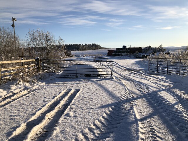
In addition to its natural beauty, Coulshill Moor has historical significance. The area was once used for peat cutting, and remnants of this activity can still be seen today. The moor is also home to an ancient stone circle, believed to be a site of spiritual significance in ancient times.

Overall, Coulshill Moor is a captivating destination for nature lovers, hikers, and history enthusiasts alike. With its stunning woodlands, diverse wildlife, and rich history, this Midlothian gem offers a peaceful sanctuary for all who visit.

If you have any feedback on the listing, please let us know in the comments section below.

Couldhall Moor Images

Images are sourced within 2km of 55.816139/-3.1670589 or Grid Reference NT2658. Thanks to Geograph Open Source API. All images are credited.

Mount Lothian to Rosewell road Limestone scenery near Mount Lothian.
Mount Lothian to Rosewell road
Limestone scenery near Mount Lothian.
Marsh near Mount Lothian
Pasture by Auchrielaw
Cauldhall Moor The rashy poorer grazing on the coal measures contrasts with the nearby limestone terrain where the grass is most definitely greener.
Cauldhall Moor
The rashy poorer grazing on the coal measures contrasts with the nearby limestone terrain where the grass is most definitely greener.
Young trees on King's Seat
Opencast mining site Some years after the coal mine closed, the area is used to store silage and machinery.
Opencast mining site
Some years after the coal mine closed, the area is used to store silage and machinery.
Communication/TV masts near Howgate Doubled in number since Richard Webb's visit 5 years ago - <a href="https://www.geograph.org.uk/photo/108169">NT2559 : TV transmitter</a>.
Communication/TV masts near Howgate
Doubled in number since Richard Webb's visit 5 years ago - NT2559 : TV transmitter.
Sheep and pasture near Loanstone With the NE end of the Pentland Hills in the distance, about 7km away. The power supply going to ground here no doubt supplies the two communication masts that are just out of view to the right <a href="https://www.geograph.org.uk/photo/2320834">NT2559 : Communication/TV masts near Howgate</a>.
Sheep and pasture near Loanstone
With the NE end of the Pentland Hills in the distance, about 7km away. The power supply going to ground here no doubt supplies the two communication masts that are just out of view to the right NT2559 : Communication/TV masts near Howgate.
Farmland and plantation near Fallhills Rough and improved grassland on part of what might be part of Drummond Moor.
Farmland and plantation near Fallhills
Rough and improved grassland on part of what might be part of Drummond Moor.
Cauldhall farm buildings and boundary wall
Sheep & lambs grazing at Mount Lothian Farm
The road from Cockmuir heading up to Mount Lothian Farm
Field access track, Fallhills A short track through a strip wood to the fields belong.
Field access track, Fallhills
A short track through a strip wood to the fields belong.
Lilyburn Derelict building beside the A6094 near Howgate.
Lilyburn
Derelict building beside the A6094 near Howgate.
Kings Seat Grassy hill above Lilyburn.
Kings Seat
Grassy hill above Lilyburn.
Landfill, Drummond Moor Beyond grass fields is a lined pit, now being filled with rubbish.
Landfill, Drummond Moor
Beyond grass fields is a lined pit, now being filled with rubbish.
Drummond Moor landfill entrance Entrance to a landfill site.
Drummond Moor landfill entrance
Entrance to a landfill site.
Entrance, Howgate open cast The coal mine here is being reclaimed.
Entrance, Howgate open cast
The coal mine here is being reclaimed.
Show me another place!

Couldhall Moor is located at Grid Ref: NT2658 (Lat: 55.816139, Lng: -3.1670589)

Unitary Authority: Midlothian

Police Authority: The Lothians and Scottish Borders

What 3 Words

///political.thirsty.clown. Near Penicuik, Midlothian

Nearby Locations

Couldhall Moor King's Seat

Related Wikis

Rosslynlee Hospital

Rosslynlee Hospital was a mental health facility near Roslin, Midlothian in Scotland. The main hospital building is a Grade C listed building. Rosslynlee...

Rosslynlee Hospital Halt railway station

Rosslynlee Hospital Halt railway station that served Rosslynlee Hospital, Midlothian, Scotland from 1958 to 1962 on the Peebles Railway. == History... ==

Pomathorn Halt railway station

Pomathorn Halt railway station served the town of Penicuik, Midlothian, Scotland from 1855 to 1962 on the Peebles Railway. == History == The station opened...

Woodhouselee

Woodhouselee is an estate in Midlothian in the parish of Glencorse. It has been owned by gentry including William Tytler and Alexander Fraser Tytler....

Nearby Amenities

Located within 500m of 55.816139,-3.1670589
King's Seat
Ele: 295
Natural: peak
Lat/Long: 55.814846/-3.170588
Power: pole
Lat/Long: 55.8121783/-3.1654679
Power: pole
Lat/Long: 55.8128878/-3.1653117
Power: pole
Lat/Long: 55.8136149/-3.16512
Power: pole
Lat/Long: 55.8143314/-3.1649387
Power: pole
Lat/Long: 55.816962/-3.1746632
Power: pole
Lat/Long: 55.8166951/-3.1734276
Power: pole
Lat/Long: 55.8164317/-3.1722586
Power: pole
Lat/Long: 55.8161648/-3.1710751
Power: pole
Lat/Long: 55.8159142/-3.1698958
Power: pole
Lat/Long: 55.8155127/-3.1686435
Power: pole
Lat/Long: 55.8151216/-3.1674433
Power: pole
Lat/Long: 55.8147224/-3.1661639
Power: pole
Lat/Long: 55.8139357/-3.1636989
Power: pole
Lat/Long: 55.8139438/-3.1624133
Power: pole
Lat/Long: 55.813952/-3.1610776
The data included in this document is from www.openstreetmap.org. The data is made available under ODbL.

Have you been to Couldhall Moor?

Leave your review of Couldhall Moor below (or comments, questions and feedback).