Datie Mill Plantation
Wood, Forest in Fife
Scotland
Datie Mill Plantation
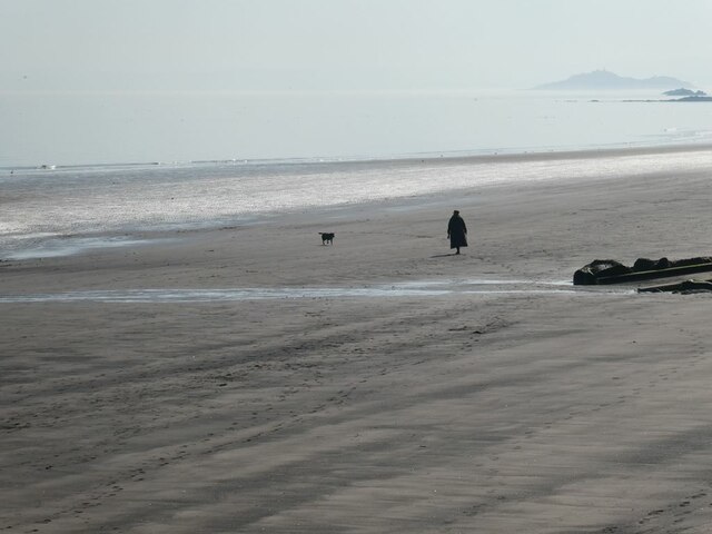
Datie Mill Plantation, located in Fife, Scotland, is a picturesque woodland area known for its natural beauty and rich history. Spread across a vast expanse, the plantation is nestled within the idyllic countryside of Fife, offering a tranquil retreat for visitors and nature enthusiasts.
The plantation is primarily composed of a diverse mix of deciduous and coniferous trees, creating a lush and vibrant forest environment. Towering oak, beech, and birch trees can be found alongside majestic pine and spruce trees, providing a variety of habitats for numerous plant and animal species.
Visitors to Datie Mill Plantation can explore the plantation through a network of well-maintained trails, allowing for leisurely walks and hikes. The trails wind through the woodland, offering breathtaking views of the surrounding landscape and showcasing the natural wonders of the area. Along the way, visitors may encounter native wildlife such as red squirrels, deer, and a variety of bird species, including woodpeckers and owls.
The plantation is also home to Datie Mill, a historic watermill that dates back to the 18th century. The mill, now in ruins, adds a touch of historical charm to the area and serves as a reminder of the region's industrial past.
Datie Mill Plantation provides a haven for those seeking solace in nature, offering a peaceful retreat where visitors can immerse themselves in the beauty of the Scottish countryside. It is a place where history and nature intertwine, providing a memorable experience for all who visit.
If you have any feedback on the listing, please let us know in the comments section below.
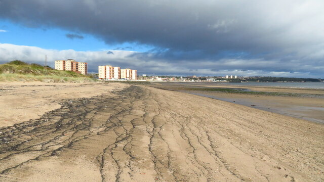
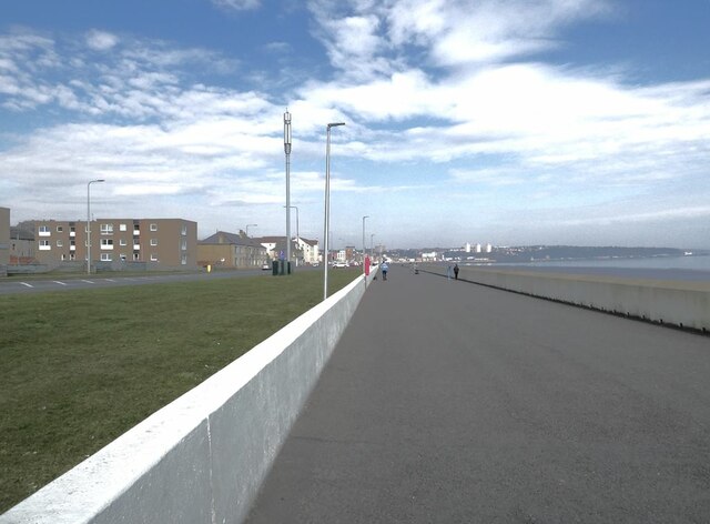
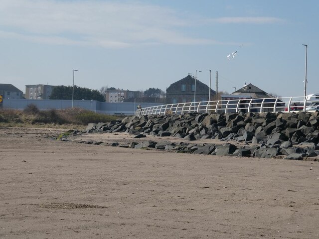
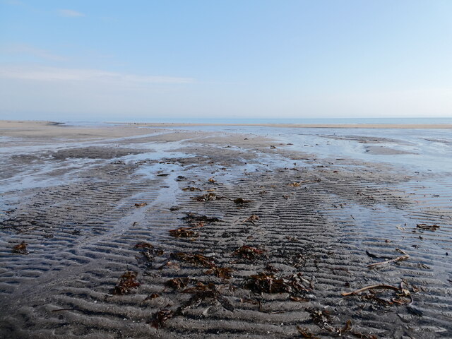
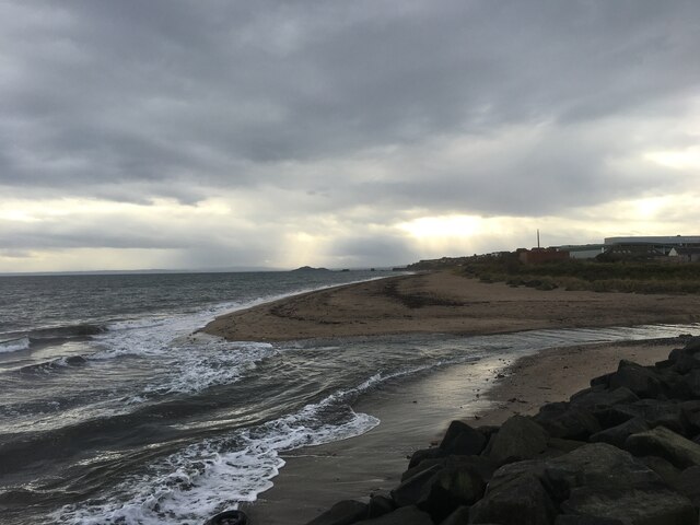
Datie Mill Plantation Images
Images are sourced within 2km of 56.106111/-3.1874614 or Grid Reference NT2691. Thanks to Geograph Open Source API. All images are credited.


Datie Mill Plantation is located at Grid Ref: NT2691 (Lat: 56.106111, Lng: -3.1874614)
Unitary Authority: Fife
Police Authority: Fife
What 3 Words
///safety.strong.falls. Near Kirkcaldy, Fife
Nearby Locations
Related Wikis

Kirkcaldy RFC
Kirkcaldy Rugby Football Club is a rugby union club from Kirkcaldy, Fife, Scotland. The men's side currently plays in Scottish National League Division...
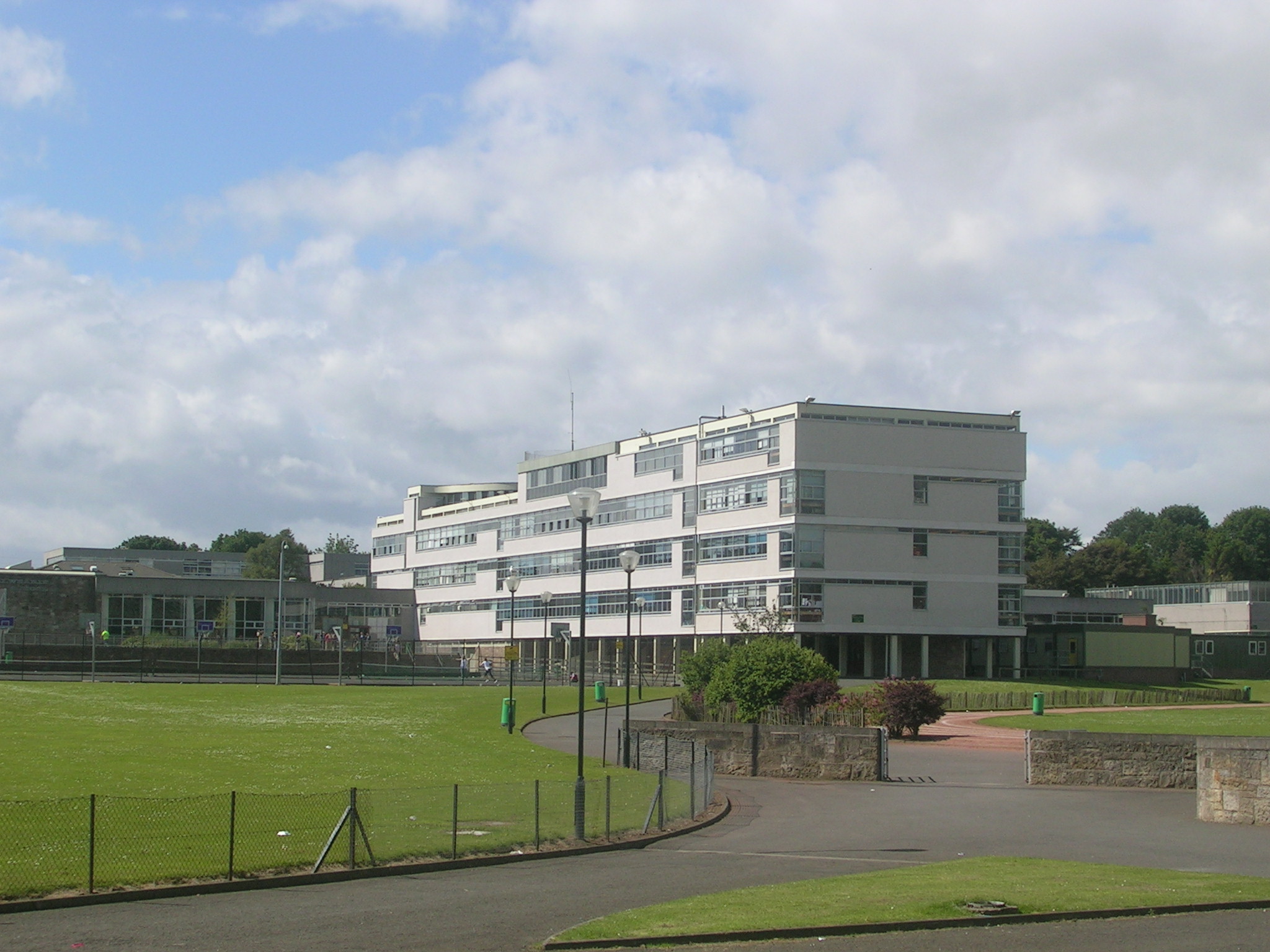
Balwearie High School
Balwearie High School is a non-denominational comprehensive secondary school at the west end of Kirkcaldy in Scotland. Balwearie serves around 1500 pupils...
Battle of Raith
The Battle of Raith was the theory of E. W. B. Nicholson, librarian at the Bodleian Library, Oxford. He was aware of the poem Y Gododdin in the Book of...

Kirkcaldy
Kirkcaldy ( kur-KAW-dee; Scots: Kirkcaldy; Scottish Gaelic: Cair Chaladain) is a town and former royal burgh in Fife, on the east coast of Scotland. It...

Stark's Park
Stark's Park is a football stadium in Kirkcaldy, Scotland. It is the home ground of Raith Rovers, who have played there since 1891. The ground has an all...

A921 road
The A921 road is a road that connects Kirkcaldy with the M90 motorway in Fife, Scotland. Before 1990, the road was classed as the A92. == References ==

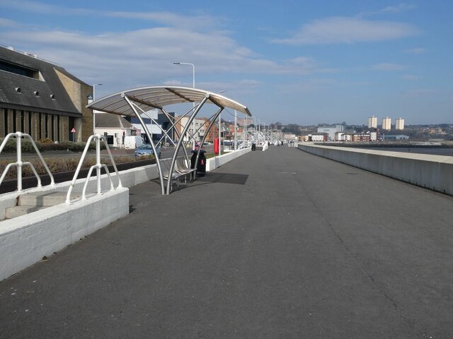
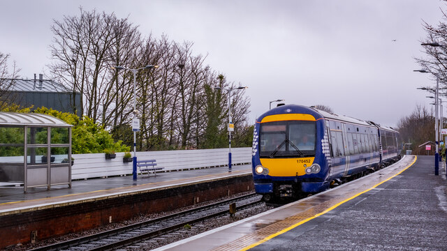
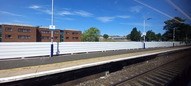
Kirkcaldy railway station
Kirkcaldy railway station is a railway station in the town of Kirkcaldy, Fife, Scotland. The station is managed by ScotRail and is on the Fife Circle Line...

Kirkcaldy Galleries
Kirkcaldy Galleries is the main museum, library and exhibition space in Kirkcaldy in Fife, Scotland. The land for the town's museum and art gallery was...
Nearby Amenities
Located within 500m of 56.106111,-3.1874614Have you been to Datie Mill Plantation?
Leave your review of Datie Mill Plantation below (or comments, questions and feedback).