Kylebank Plantation
Wood, Forest in Angus
Scotland
Kylebank Plantation
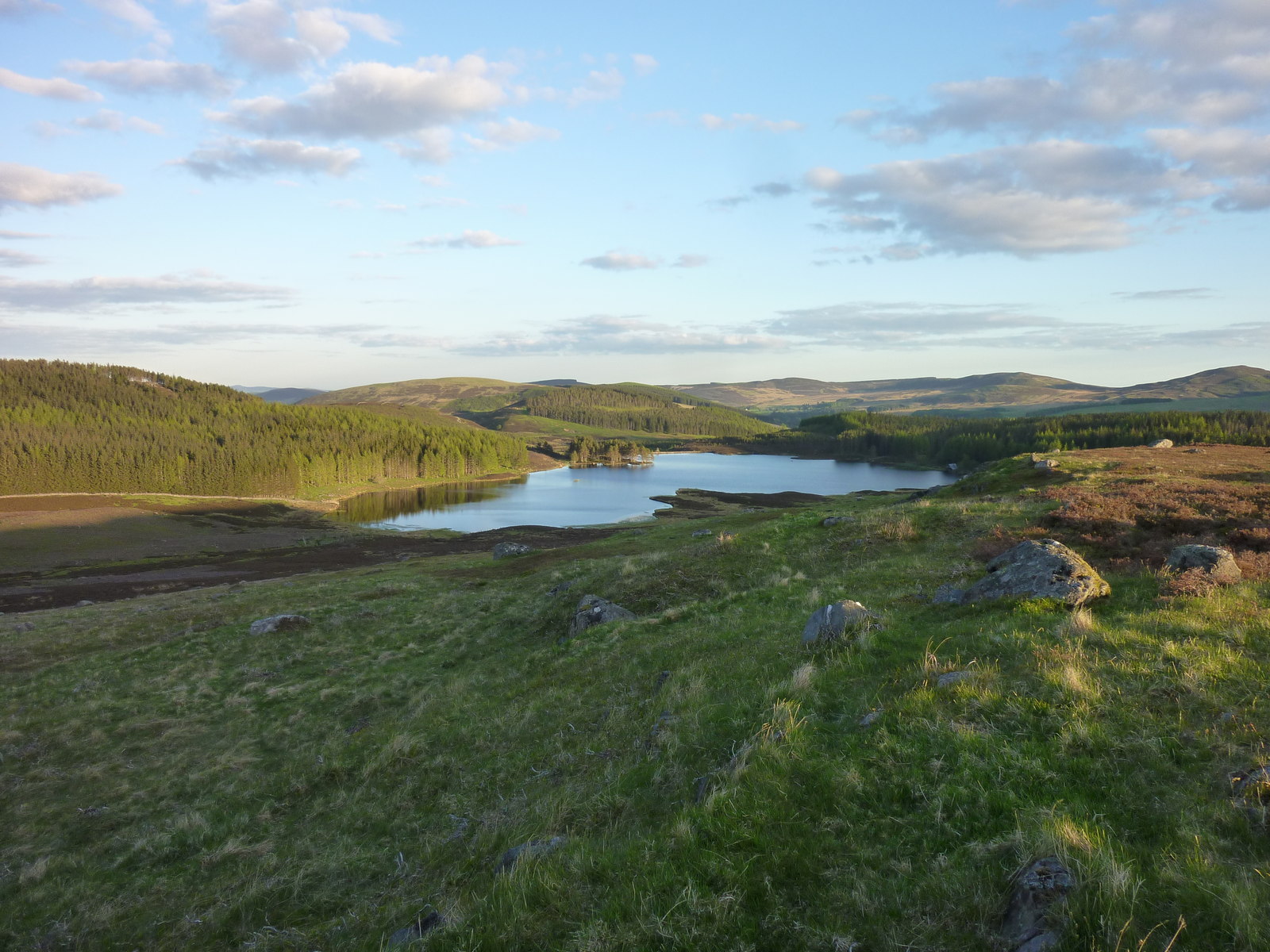
Kylebank Plantation is a picturesque woodland located in the county of Angus, Scotland. Situated near the town of Forfar, this extensive plantation covers an area of approximately 500 acres, offering a serene and tranquil environment for nature enthusiasts and outdoor lovers.
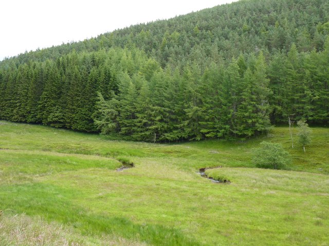
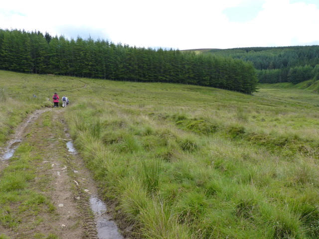
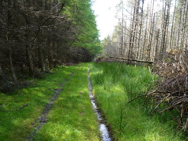
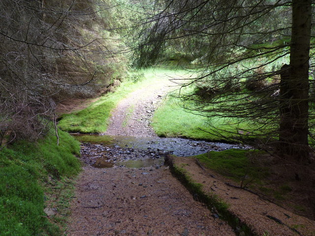
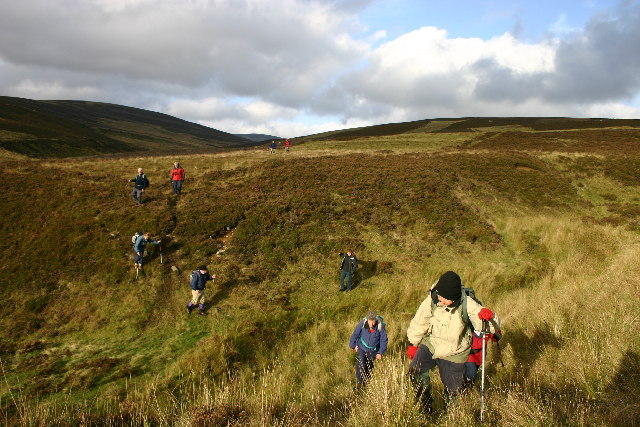
The woodland comprises a diverse range of tree species, including native Scots pine, oak, beech, and birch, providing a rich habitat for various wildlife. The plantation is well-maintained, with clearly marked walking trails that wind through the forest, allowing visitors to explore its beauty at their own pace.
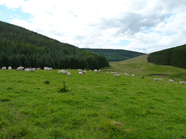
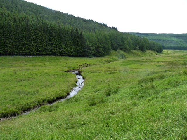
The plantation boasts a unique mix of open spaces and dense woodland, offering visitors the opportunity to experience a variety of different environments. The open areas provide stunning views of the surrounding countryside, while the dense woodland provides a sheltered and secluded atmosphere.
Kylebank Plantation is not only a haven for nature lovers but also a popular destination for outdoor activities. The well-maintained trails are suitable for walking, jogging, and cycling, while the open areas offer ample space for picnics and family gatherings. The plantation is also home to a number of bird species, making it a fantastic spot for birdwatching enthusiasts.
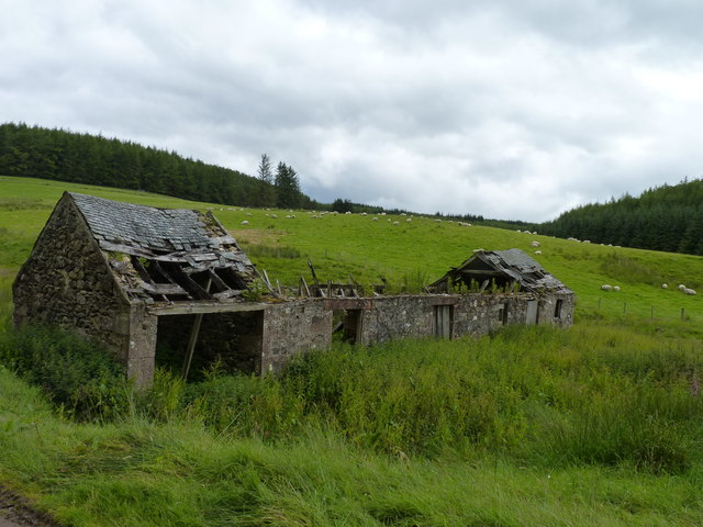
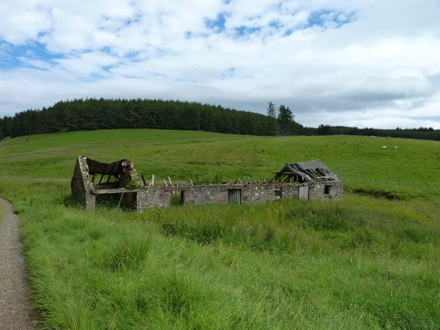
Furthermore, the plantation has a rich history, with evidence of human settlement dating back centuries. Visitors can explore remnants of old buildings and structures, gaining insight into the area's past.
Overall, Kylebank Plantation in Angus is a delightful destination for those seeking a peaceful escape into nature, offering stunning scenery, diverse wildlife, and a range of outdoor activities for all to enjoy.
If you have any feedback on the listing, please let us know in the comments section below.
Kylebank Plantation Images
Images are sourced within 2km of 56.772144/-3.2080402 or Grid Reference NO2665. Thanks to Geograph Open Source API. All images are credited.


Kylebank Plantation is located at Grid Ref: NO2665 (Lat: 56.772144, Lng: -3.2080402)
Unitary Authority: Angus
Police Authority: Tayside
What 3 Words
///cherubs.picture.bumpy. Near Kirriemuir, Angus
Nearby Locations
Related Wikis

Knockshannoch Lodge
Knockshannoch Lodge is a Category B listed building in the Scottish village of Glenisla, Angus, built around 1888. It is a small, single-storey cottage...

Backwater Reservoir
Backwater Reservoir is a reservoir in north west Angus, Scotland. The reservoir's sole purpose is to provide drinking water, and as such, it supplies Angus...

Balintore, Angus
Balintore (Scottish Gaelic: Baile an Todhair) is a village in Angus, Scotland. It lies in Glen Isla, four miles north of the Loch of Lintrathen and seven...
Auchintaple Loch
Auchintaple Loch also known as Auchenchapel Loch, is a small shallow freshwater loch that is located in Glen Isla in Angus, Scotland. == See also == List...
Balintore Castle
Balintore Castle is a Victorian Category A listed building in Scotland. The castle occupies an elevated site in moorland above Balintore village, a few...
Kirkton of Glenisla
Kirkton of Glenisla consists of a church and graveyard, a hotel, hall and several homes forming the largest concentration of habitation in Glenisla, Angus...

Cat Law
Cat Law (671 m) is a hill in the southern Mounth of Scotland, north of Kirriemuir in Angus. A rounded peak, it lies above Strathmore in the south and offers...
Folda, Angus
Folda is a hamlet in Glen Isla, Angus, Scotland. It is situated on the River Isla, twelve miles north-west of Kirriemuir and eleven miles north of Blairgowrie...
Nearby Amenities
Located within 500m of 56.772144,-3.2080402Have you been to Kylebank Plantation?
Leave your review of Kylebank Plantation below (or comments, questions and feedback).