Castle Hill

Hill, Mountain in Fife

Scotland

Castle Hill

Southern end of the Kirkcaldy Esplanade On the Fife Coastal Path.
Southern end of the Kirkcaldy Esplanade Credit: Oliver Dixon

Castle Hill is a prominent hill situated in the region of Fife, Scotland. Rising to a height of approximately 215 meters (705 feet), it offers panoramic views of the surrounding landscape, making it a popular spot for locals and tourists alike. Located near the town of Cupar, the hill is easily accessible and is a prominent feature in the area.

The hill is named after the remains of Castle Hill Fort, an ancient hillfort that dates back to the Iron Age. The fortifications can still be seen today, with the remains of ramparts and ditches providing a glimpse into the area's rich history. Archaeological excavations have revealed evidence of human activity on Castle Hill dating back thousands of years, further adding to its historical significance.

The ascent to the summit of Castle Hill is relatively easy, with a well-maintained path leading to the top. Once at the peak, visitors are rewarded with breathtaking views of the Fife countryside, including the nearby Lomond Hills and the River Tay. On a clear day, it is possible to see as far as the coastline and the city of Dundee in the distance.

Aside from its historical and scenic appeal, Castle Hill also offers opportunities for outdoor activities such as hiking and nature walks. The hill is home to a variety of flora and fauna, with heather and gorse providing bursts of color during the summer months.

Overall, Castle Hill in Fife is a fascinating destination that combines natural beauty with historical significance, making it a must-visit location for those exploring the region.

If you have any feedback on the listing, please let us know in the comments section below.
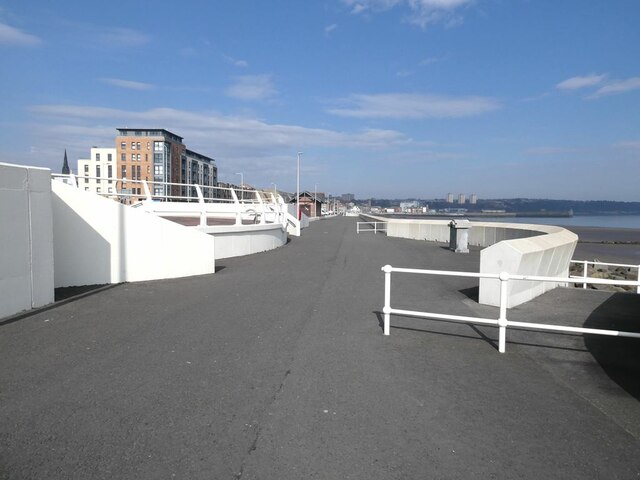
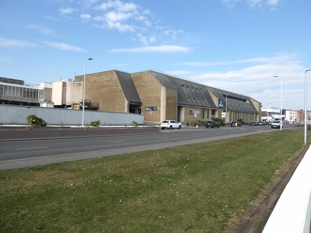
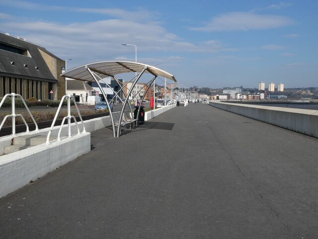
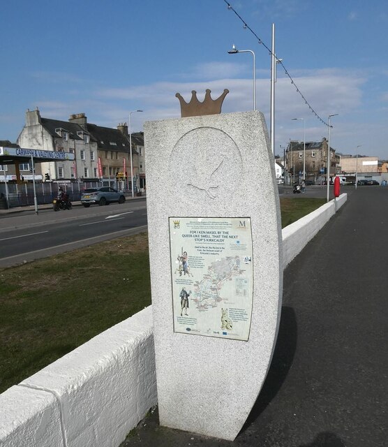
Castle Hill Images

Images are sourced within 2km of 56.110947/-3.1854233 or Grid Reference NT2691. Thanks to Geograph Open Source API. All images are credited.

Southern end of the Kirkcaldy Esplanade On the Fife Coastal Path.
Southern end of the Kirkcaldy Esplanade
On the Fife Coastal Path.
South end of Kirkcaldy Esplanade Just behind the nearest row of rocks, but out of sight, the Tiel Burn forms a significant obstacle between the beach and the Esplanade.
South end of Kirkcaldy Esplanade
Just behind the nearest row of rocks, but out of sight, the Tiel Burn forms a significant obstacle between the beach and the Esplanade.
Dog walker on Link Sands, Kirkcaldy The tidal reefs of Long Craig in the distance.
Dog walker on Link Sands, Kirkcaldy
The tidal reefs of Long Craig in the distance.
Dog walker on Link Sands, Kirkcaldy
Kirkcaldy Esplanade On the Fife Coastal Path
Kirkcaldy Esplanade
On the Fife Coastal Path
Parkour on Kirkcaldy Esplanade An array of exercise equipment. Cannon Court apartment block in the background.
Parkour on Kirkcaldy Esplanade
An array of exercise equipment. Cannon Court apartment block in the background.
Kirkcaldy Esplanade Cannon Court apartment block to the left. On the Fife Coastal Path
Kirkcaldy Esplanade
Cannon Court apartment block to the left. On the Fife Coastal Path
Rear of the Merkat shopping centre on Kirkcaldy Esplanade Goods entrance.
Rear of the Merkat shopping centre on Kirkcaldy Esplanade
Goods entrance.
Kirkcaldy Esplanade With shelter. The Ravenscraig Flats <a href="https://www.geograph.org.uk/gridref/NT2892">NT2892</a> on the horizon. On the Fife Coastal Path
Kirkcaldy Esplanade
With shelter. The Ravenscraig Flats NT2892 on the horizon. On the Fife Coastal Path
Monument to the Kingdom of Fife Cycleways The inscription reads:
"Welcome to the Kingdom of Fife Millennium Cycleways
which form a network of signposted, safe cycle routes through Fife
This is the 105 mile (168km) circular Kingdom Route which links to three
area networks and routes in the Fife forest and towns."
The Esplanade also forms part of National Cycle Network route 76.
Monument to the Kingdom of Fife Cycleways
The inscription reads: "Welcome to the Kingdom of Fife Millennium Cycleways which form a network of signposted, safe cycle routes through Fife This is the 105 mile (168km) circular Kingdom Route which links to three area networks and routes in the Fife forest and towns." The Esplanade also forms part of National Cycle Network route 76.
170452 at a very wet Kirkcaldy Station - bound for Aberdeen
Kirkcaldy railway station
Maryhall Street, Kirkcaldy
Abbotshall Road, Kirkcaldy
Fife Coastal Path along the esplanade, Kirkcaldy
The Postings, Kirkcaldy Closed for several years The Postings shopping centre is finally being demolished to make way for housing <span class="nowrap"><a title="https://www.thecourier.co.uk/fp/news/fife/4144756/postings-shopping-centre-kirkcaldy-demolition/" rel="nofollow ugc noopener" href="https://www.thecourier.co.uk/fp/news/fife/4144756/postings-shopping-centre-kirkcaldy-demolition/">Link</a><img style="margin-left:2px;" alt="External link" title="External link - shift click to open in new window" src="https://s1.geograph.org.uk/img/external.png" width="10" height="10"/></span>
The Postings, Kirkcaldy
Closed for several years The Postings shopping centre is finally being demolished to make way for housing LinkExternal link
Robocop? As The Postings shopping centre in Kirkcaldy is being demolished several of these 'robot sentries' have been deployed around the perimeter as electronic security guards in an attempt to prevent intruders from accessing the demolition site. They are known as the 'Armadillo VideoGuard'.
Robocop?
As The Postings shopping centre in Kirkcaldy is being demolished several of these 'robot sentries' have been deployed around the perimeter as electronic security guards in an attempt to prevent intruders from accessing the demolition site. They are known as the 'Armadillo VideoGuard'.
Show me another place!

Castle Hill is located at Grid Ref: NT2691 (Lat: 56.110947, Lng: -3.1854233)

Unitary Authority: Fife

Police Authority: Fife

What 3 Words

///drank.soap.twin. Near Kirkcaldy, Fife

Related Wikis

Nearby Amenities

Located within 500m of 56.110947,-3.1854233
Generator Method: photovoltaic
Generator Output Electricity: yes
Generator Source: solar
Generator Type: solar_photovoltaic_panel
Power: generator
Lat/Long: 56.1145807/-3.1835593
Bat
Artwork Type: carving
Tourism: artwork
Lat/Long: 56.1095939/-3.1777502
Generator Method: photovoltaic
Generator Output Electricity: yes
Generator Source: solar
Generator Type: solar_photovoltaic_panel
Power: generator
Lat/Long: 56.1074761/-3.1830777
Generator Method: photovoltaic
Generator Output Electricity: yes
Generator Source: solar
Generator Type: solar_photovoltaic_panel
Power: generator
Lat/Long: 56.1075556/-3.1849947
Post Box
Collection Times: Mo-Fr 09:00; Sa 07:00
Operator: Royal Mail
Operator Wikidata: Q638098
Post Box Type: lamp
Ref: KY2 392D
Royal Cypher: scottish_crown
Lat/Long: 56.1151014/-3.1865847
Bench
Lat/Long: 56.1120008/-3.1781417
Bus Stop
Dronachy Road
Bench: no
Bin: no
Bus: yes
Lit: yes
Naptan AtcoCode: 6500K0285
Naptan Bearing: SE
Naptan CommonName: Dronachy Road
Naptan Indicator: opp
Naptan Landmark: Dronachy Road
Naptan NaptanCode: 34325926
Naptan Street: Oriel Road
Public Transport: platform
Ref: 34325926
Shelter: no
Tactile Paving: no
Lat/Long: 56.1133156/-3.1794665
Bus Stop
Strathallan Drive
Bench: yes
Bin: yes
Bus: yes
Lit: yes
Naptan AtcoCode: 6500K0187
Naptan Bearing: NW
Naptan CommonName: Strathallan Drive
Naptan Indicator: adj
Naptan Landmark: Strathallan Drive
Naptan NaptanCode: 34325967
Naptan Street: Oriel Road
Public Transport: platform
Ref: 34325967
Shelter: yes
Tactile Paving: no
Lat/Long: 56.1152361/-3.1834703
Bus Stop
Dronachy Road
Bench: no
Bin: yes
Bus: yes
Lit: yes
Naptan AtcoCode: 6500K0284
Naptan Bearing: NW
Naptan CommonName: Dronachy Road
Naptan Indicator: adj
Naptan Landmark: Dronachy Road
Naptan NaptanCode: 34325893
Naptan Street: Oriel Road
Public Transport: platform
Ref: 34325893
Shelter: no
Tactile Paving: no
Lat/Long: 56.1130969/-3.1793272
The data included in this document is from www.openstreetmap.org. The data is made available under ODbL.

Have you been to Castle Hill?

Leave your review of Castle Hill below (or comments, questions and feedback).