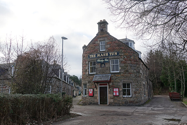
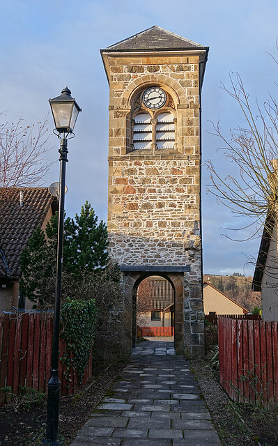
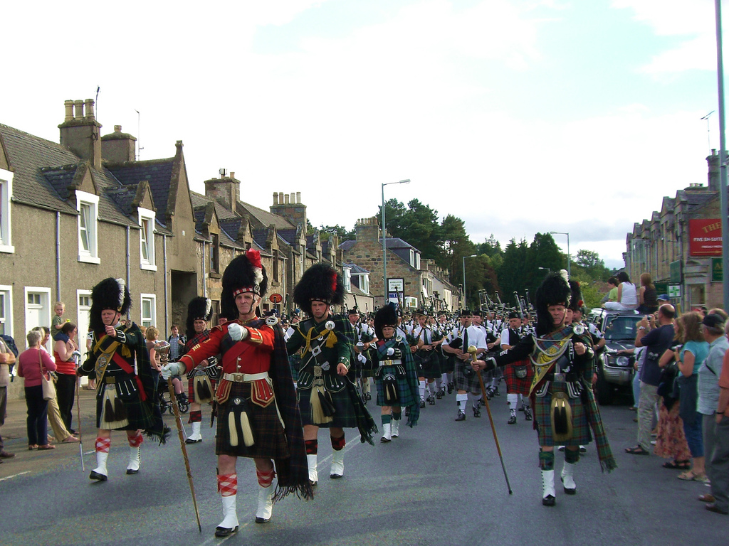
Blackfolds

Hill, Mountain in Morayshire

Scotland

Blackfolds

Macallan bonds
Macallan bonds Credit: Richard Webb

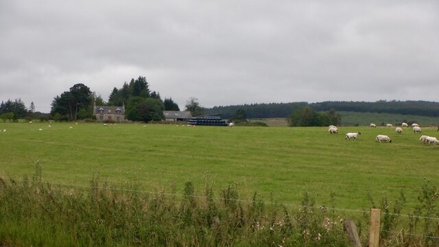
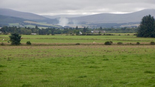
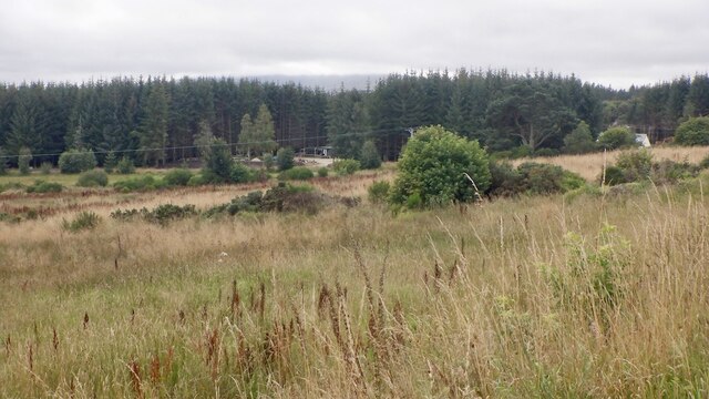
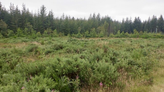
Blackfolds is a prominent hill located in Morayshire, Scotland. This hill is part of the broader mountain range known as the Grampian Mountains that stretches across the Scottish Highlands. With an elevation of approximately 420 meters (1,380 feet), Blackfolds offers breathtaking panoramic views of the surrounding landscape.

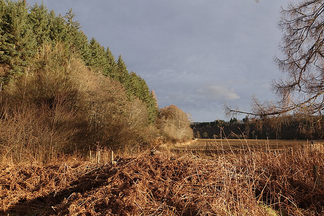
The hill is characterized by its distinct shape, featuring gentle slopes and a rounded summit. It is primarily composed of granite, a common rock type found in this region. The vegetation on Blackfolds is diverse, with heather, grasses, and scattered trees covering the slopes.

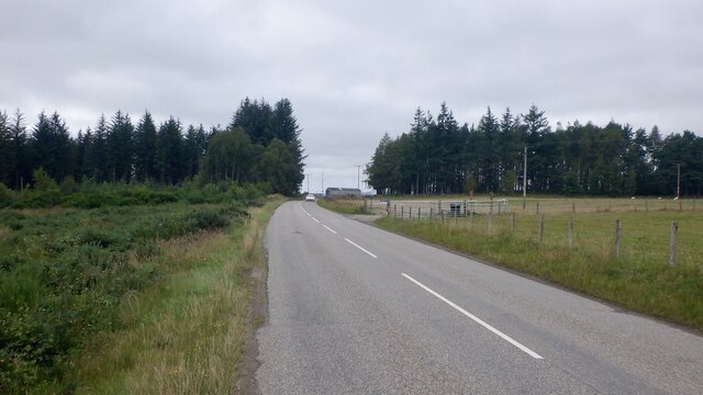
Blackfolds is a popular destination for hikers and nature enthusiasts, thanks to its accessibility and stunning vistas. Several well-marked trails lead to the summit, providing visitors with different options for exploring the hill. The ascent is generally moderate, making it suitable for hikers of various skill levels.

At the top of Blackfolds, visitors are rewarded with breathtaking views of the surrounding Morayshire countryside. On clear days, one can see the Moray Firth, a stunning inlet of the North Sea, as well as other nearby hills and mountains such as Ben Rinnes and the Cairngorms.

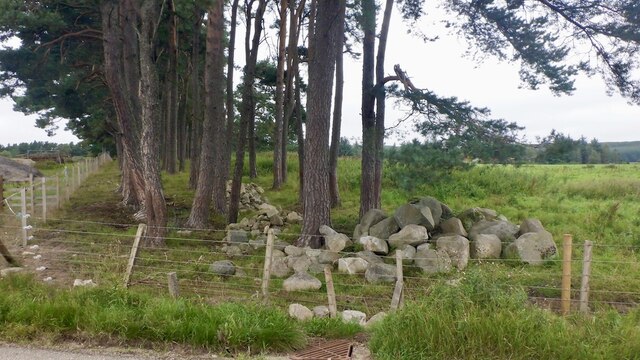
In addition to its natural beauty, Blackfolds also holds historical significance. The nearby area is home to several ancient archaeological sites, including stone circles and burial mounds, which provide insight into the region's rich past.

Overall, Blackfolds is a remarkable hill in Morayshire, offering a mixture of natural beauty, recreational opportunities, and cultural heritage.

If you have any feedback on the listing, please let us know in the comments section below.
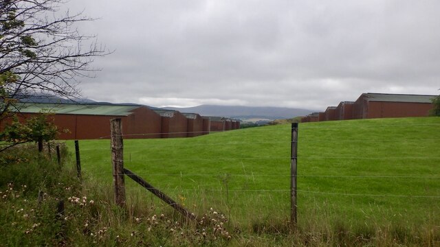
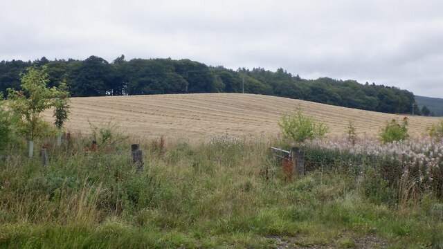
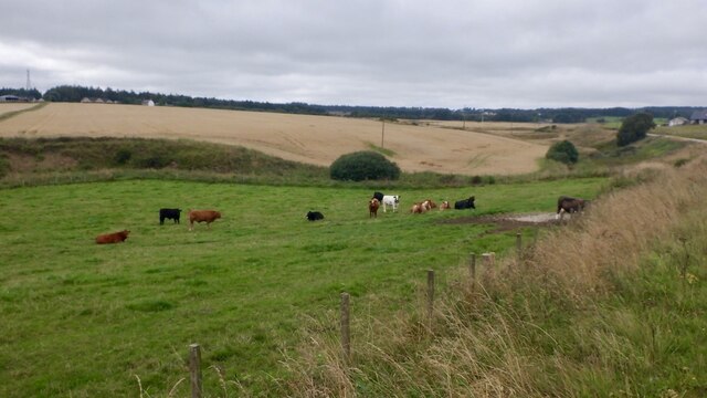
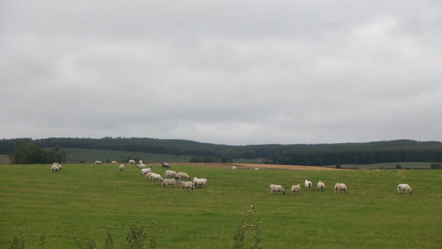
Blackfolds Images

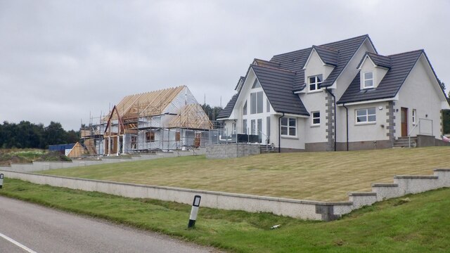
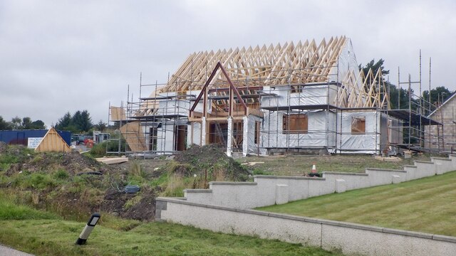
Images are sourced within 2km of 57.478633/-3.229638 or Grid Reference NJ2643. Thanks to Geograph Open Source API. All images are credited.

Macallan bonds
Macallan bonds
Harvested barley near Craigellachie Above the Macallan distillery looking towards Craigellachie Wood.
Harvested barley near Craigellachie
Above the Macallan distillery looking towards Craigellachie Wood.
Cattle beside the Burn of Sandyhillock Not sure about the burn name, it is shown as Burn of Ringorm downstream but the bridge just off shot to the right is Bridge of Sandyhillock.
Cattle beside the Burn of Sandyhillock
Not sure about the burn name, it is shown as Burn of Ringorm downstream but the bridge just off shot to the right is Bridge of Sandyhillock.
Sheep, Sandyhillock
Sheep, Sandyhillock
Sandyhillock
Sandyhillock
Caravan site near Craigellachie The Camping and Caravan Club could not be bothered opening several sites in 2021, the year that increased camping numbers was a long standing news item.

A companion piece to all the closed down hotels that I passed on this trip.
Caravan site near Craigellachie
The Camping and Caravan Club could not be bothered opening several sites in 2021, the year that increased camping numbers was a long standing news item. A companion piece to all the closed down hotels that I passed on this trip.
Fields, Catherinebraes Water is being emitted from a distillery somewhere below.
Fields, Catherinebraes
Water is being emitted from a distillery somewhere below.
Stripwood, Catherinebraes
New houses, Blackholes The by now familiar glass gables.
New houses, Blackholes
The by now familiar glass gables.
Glass gabled house under construction A triangle of steel where the glass will go.
Glass gabled house under construction
A triangle of steel where the glass will go.
Rough grazing, Blackholes
Cossack Wood
Cossack Wood
B9102 east of Archiestown Passing Cossack Wood.
B9102 east of Archiestown
Passing Cossack Wood.
Orphaned Fireplace I surmise that this is the fireplace and chimney of a railwaymen's wooden hut that has long since vanished.
Orphaned Fireplace
I surmise that this is the fireplace and chimney of a railwaymen's wooden hut that has long since vanished.
Fungus Art We saw all sorts of pictures in the fungus on the cut end of a tree trunk. What can you see?
Fungus Art
We saw all sorts of pictures in the fungus on the cut end of a tree trunk. What can you see?
Haugh of Delltoulie Warm winter sunshine on the trees and ploughed field on the Haugh of Delltoulie.
Haugh of Delltoulie
Warm winter sunshine on the trees and ploughed field on the Haugh of Delltoulie.
The Mash Tun The former Station Bar is a Category C Listed Building. See <span class="nowrap"><a title="http://portal.historicenvironment.scot/designation/LB49987" rel="nofollow ugc noopener" href="http://portal.historicenvironment.scot/designation/LB49987">Link</a><img style="margin-left:2px;" alt="External link" title="External link - shift click to open in new window" src="https://s1.geograph.org.uk/img/external.png" width="10" height="10"/></span>. The Mash Tun's own web site <span class="nowrap"><a title="https://www.mashtun-aberlour.com/about-us" rel="nofollow ugc noopener" href="https://www.mashtun-aberlour.com/about-us">Link</a><img style="margin-left:2px;" alt="External link" title="External link - shift click to open in new window" src="https://s1.geograph.org.uk/img/external.png" width="10" height="10"/></span> says, "The building was originally constructed in 1896 by James Campbell, a sea captain, who instructed a marine architect to design the building in the shape of a small ship. ​A pledge contained in the title deeds, made in 1963 by the owner at the time, states that since Dr Beeching closed the railway in Aberlour then a name change was appropriate - but that if ever a train should pull up at the station again then the pub will revert to the Station Bar".
The Mash Tun
The former Station Bar is a Category C Listed Building. See LinkExternal link. The Mash Tun's own web site LinkExternal link says, "The building was originally constructed in 1896 by James Campbell, a sea captain, who instructed a marine architect to design the building in the shape of a small ship. ​A pledge contained in the title deeds, made in 1963 by the owner at the time, states that since Dr Beeching closed the railway in Aberlour then a name change was appropriate - but that if ever a train should pull up at the station again then the pub will revert to the Station Bar".
Aberlour Orphanage Clock Tower The clock tower is the only part of the Aberlour Orphanage buildings that survives, cramped and hemmed in by modern housing. It is a Category C Listed building. See <span class="nowrap"><a title="http://portal.historicenvironment.scot/designation/LB20865" rel="nofollow ugc noopener" href="http://portal.historicenvironment.scot/designation/LB20865">Link</a><img style="margin-left:2px;" alt="External link" title="External link - shift click to open in new window" src="https://s1.geograph.org.uk/img/external.png" width="10" height="10"/></span> for details.
Aberlour Orphanage Clock Tower
The clock tower is the only part of the Aberlour Orphanage buildings that survives, cramped and hemmed in by modern housing. It is a Category C Listed building. See LinkExternal link for details.
Show me another place!

Blackfolds is located at Grid Ref: NJ2643 (Lat: 57.478633, Lng: -3.229638)

Unitary Authority: Moray

Police Authority: North East

What 3 Words

///overpaid.lends.unsigned. Near Charlestown of Aberlour, Moray

Nearby Locations

Blackfolds

Related Wikis

Aberlour railway station

Aberlour railway station served the village of Aberlour, Scotland, from 1863 to 1965. == History == The station was opened by the Strathspey Railway when...

Aberlour

Aberlour (Scottish Gaelic: Obar Lobhair) is a village in Moray, Scotland, 12 miles (20 km) south of Elgin on the road to Grantown. The Lour burn is a tributary...

Victoria Bridge, Aberlour

The Victoria Bridge is a suspension footbridge near the village of Aberlour in Moray, Scotland. It was built in 1902, replacing a ferry that had previously...

Speyside High School, Aberlour

Speyside High School is a secondary school in Aberlour, Moray. It has 437 pupils. It serves the areas of Aberlour, Archiestown, Craigellachie, Dufftown...

St Margaret's Church, Aberlour

St Margaret's Church is a church of the Scottish Episcopal Church near Aberlour in Moray, Scotland. It is Gothic in style, built mostly of tooled granite...

Fleming Cottage Hospital

Fleming Hospital is a UK National Health Service hospital in Aberlour, Morayshire, Scotland. It is administered by NHS Grampian. == History == The hospital...

A95 road

The A95 road is a major road of north-east Scotland connecting the A9 road in the Highlands to the A98 road near the coast. == Route == It leaves the A9...

Aberlour distillery

Aberlour distillery is a Speyside single malt Scotch whisky distillery, in Aberlour, Strathspey, Scotland, at the confluence of the Lour Burn and River...

Nearby Amenities

Located within 500m of 57.478633,-3.229638
Power: pole
Lat/Long: 57.4816922/-3.2238466
Power: pole
Lat/Long: 57.4819207/-3.2250653
Power: pole
Lat/Long: 57.4823965/-3.2274434
Power: pole
Lat/Long: 57.4825932/-3.2283688
Power: pole
Lat/Long: 57.4828361/-3.2295767
Power: pole
Lat/Long: 57.4830675/-3.2307334
Power: pole
Lat/Long: 57.4770317/-3.2328667
Power: pole
Lat/Long: 57.4773601/-3.2338029
Power: pole
Lat/Long: 57.4777737/-3.2345723
Power: pole
Lat/Long: 57.4781338/-3.2352852
Power: pole
Lat/Long: 57.4784159/-3.2358286
Power: pole
Lat/Long: 57.4747016/-3.2274488
Power: pole
Lat/Long: 57.475043/-3.2268488
Power: pole
Lat/Long: 57.4755333/-3.2261629
Power: pole
Lat/Long: 57.476148/-3.2251675
Power: pole
Lat/Long: 57.4775032/-3.2255065
Power: pole
Lat/Long: 57.4782351/-3.2256571
Power: pole
Lat/Long: 57.4789727/-3.2257835
Power: pole
Lat/Long: 57.4791925/-3.2270237
Power: pole
Lat/Long: 57.4794196/-3.2282558
Power: pole
Lat/Long: 57.4796322/-3.2294825
Power: pole
Lat/Long: 57.4798491/-3.2307523
Power: pole
Lat/Long: 57.4803755/-3.2312096
Power: pole
Lat/Long: 57.4808687/-3.2316454
Power: pole
Lat/Long: 57.4814066/-3.2321162
Power: pole
Lat/Long: 57.4796307/-3.2267305
Power: pole
Lat/Long: 57.480053/-3.2264265
Power: pole
Lat/Long: 57.4805664/-3.2260526
Power: pole
Lat/Long: 57.481262/-3.2255226
Power: pole
Lat/Long: 57.4796669/-3.2318149
Power: pole
Lat/Long: 57.4794904/-3.2328883
Power: pole
Lat/Long: 57.4793039/-3.2338944
Power: pole
Lat/Long: 57.4787991/-3.2349947
Power: pole
Lat/Long: 57.4779877/-3.236746
The data included in this document is from www.openstreetmap.org. The data is made available under ODbL.

Have you been to Blackfolds?

Leave your review of Blackfolds below (or comments, questions and feedback).