Crooknow Covert

Wood, Forest in Peeblesshire

Scotland

Crooknow Covert

Replanting felled area, Bonnington Woodland here was felled last year and now replanting is taking place - compare with <a href="https://www.geograph.org.uk/photo/7529238">NT2539 : Felled plantation near The Cut, Peebles</a>.
Replanting felled area, Bonnington Credit: Jim Barton

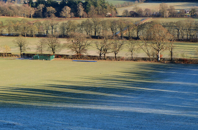
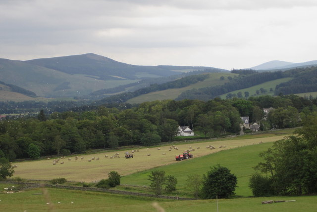
Crooknow Covert is a charming woodland located in Peeblesshire, Scotland. Spread across several acres, this forest is known for its tranquil atmosphere and diverse range of flora and fauna. It is a popular spot for nature enthusiasts and those seeking a peaceful retreat from the bustling city life.

The woodland is primarily composed of native tree species, such as oak, birch, and pine. These tall, majestic trees provide a dense canopy that filters the sunlight, creating a cool and shaded environment below. The forest floor is covered in a thick layer of moss, adding to the enchanting ambiance of the area.

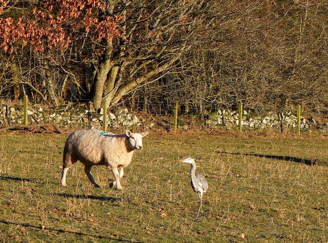
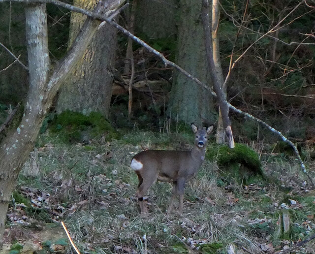
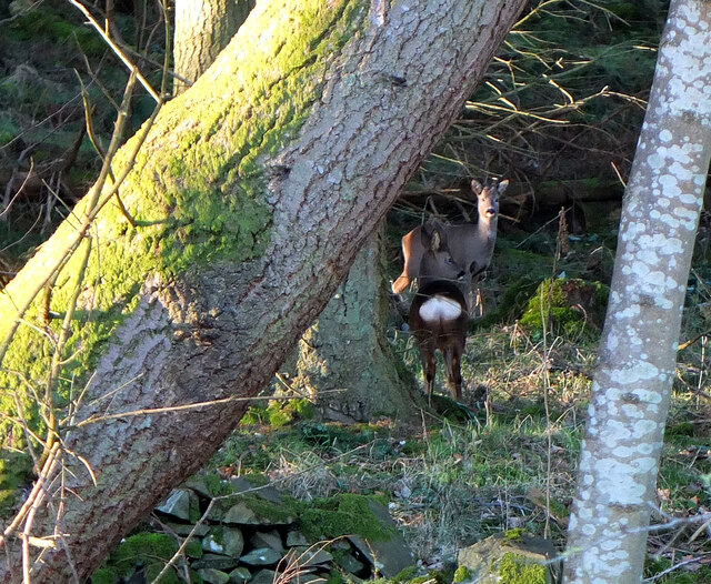
Crooknow Covert is home to a variety of wildlife. Bird enthusiasts can spot species like woodpeckers, owls, and various songbirds in the treetops. The forest also attracts small mammals, including red squirrels and hedgehogs. If lucky, visitors may even catch a glimpse of roe deer gracefully grazing among the trees.

There are several walking trails that wind through the woodland, offering visitors the opportunity to explore its beauty. These paths vary in difficulty, providing options for both leisurely strolls and more challenging hikes. Along the way, walkers can enjoy the sounds of babbling brooks and the scent of wildflowers that dot the forest floor.

Crooknow Covert is a haven for nature lovers, offering a peaceful escape and a chance to immerse oneself in the beauty of the Scottish countryside. Whether it's a leisurely walk or a bird-watching adventure, this woodland provides an unforgettable experience for all who visit.

If you have any feedback on the listing, please let us know in the comments section below.

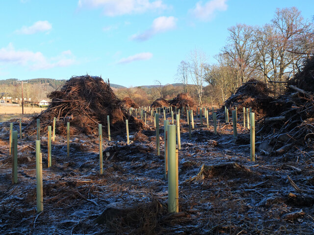
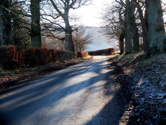
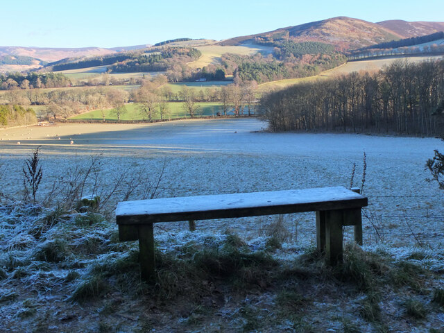
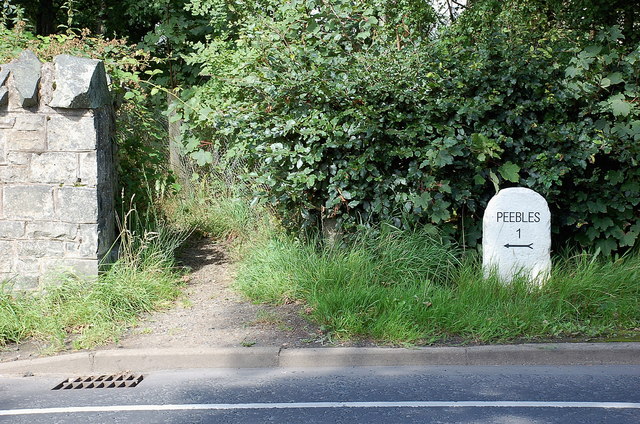
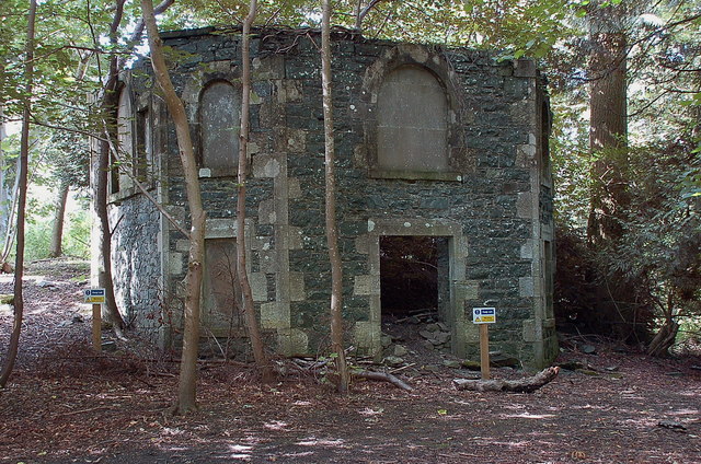
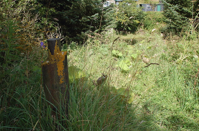
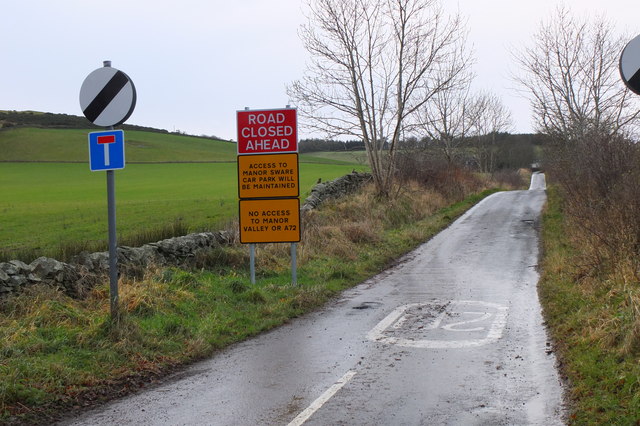
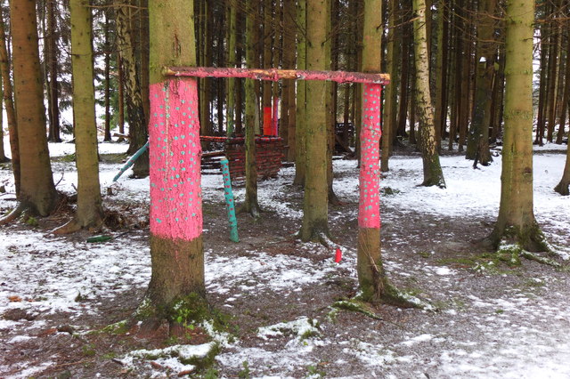
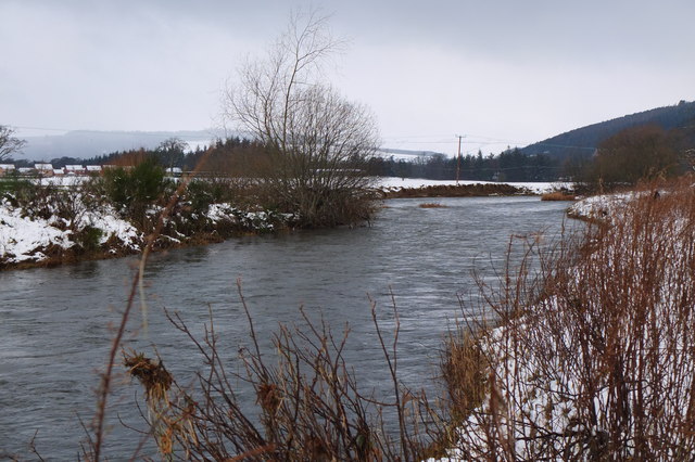
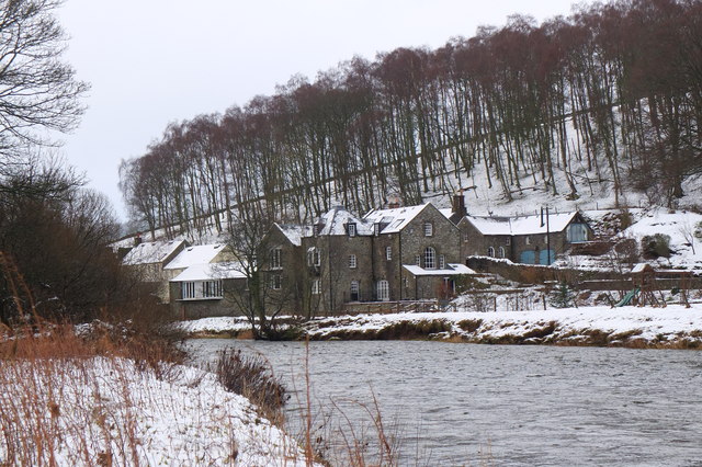
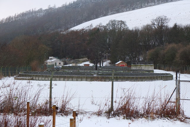
Crooknow Covert Images

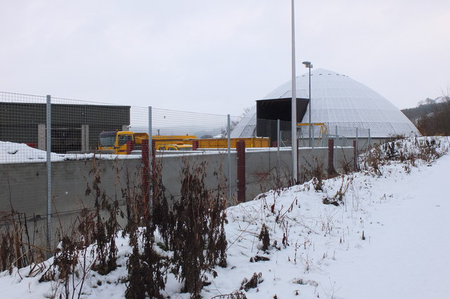
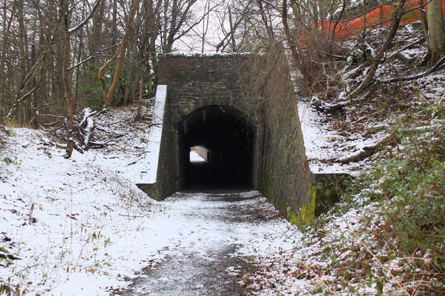
Images are sourced within 2km of 55.63803/-3.1805028 or Grid Reference NT2538. Thanks to Geograph Open Source API. All images are credited.

Replanting felled area, Bonnington Woodland here was felled last year and now replanting is taking place - compare with <a href="https://www.geograph.org.uk/photo/7529238">NT2539 : Felled plantation near The Cut, Peebles</a>.
Replanting felled area, Bonnington
Woodland here was felled last year and now replanting is taking place - compare with NT2539 : Felled plantation near The Cut, Peebles.
Tree shadows, Bonnington On the minor road around Cademuir to the Manor Valley.
Tree shadows, Bonnington
On the minor road around Cademuir to the Manor Valley.
Frosty viewpoint to Haystoun A bench on the track near Cademuir Forest car park in cold settled weather.
Frosty viewpoint to Haystoun
A bench on the track near Cademuir Forest car park in cold settled weather.
The sheep and the heron An inquisitive ewe taking a look at a heron in a pasture near Bonnington farm.
The sheep and the heron
An inquisitive ewe taking a look at a heron in a pasture near Bonnington farm.
Spiky tree shadows, Bonnington Long shadows from a strip of woodland bordering a field by the road between Peebles and Kirkton Manor.
Spiky tree shadows, Bonnington
Long shadows from a strip of woodland bordering a field by the road between Peebles and Kirkton Manor.
Roe deer, Cademuir Forest A roe deer not far from the track contouring the east edge of the woodland.
Roe deer, Cademuir Forest
A roe deer not far from the track contouring the east edge of the woodland.
Two roe deer, Cademuir Forest I spotted one deer by the track here <a href="https://www.geograph.org.uk/photo/7692276">NT2438 : Roe deer, Cademuir Forest</a>, then saw a second animal. They stayed long enough for a quick portrait.
Two roe deer, Cademuir Forest
I spotted one deer by the track here NT2438 : Roe deer, Cademuir Forest, then saw a second animal. They stayed long enough for a quick portrait.
Cutting hay at Edderston near Peebles The red tractor is pulling the baling machine, and two more tractors are loading and carting the bales to the farm nearby. Left of centre is a flock of blackheaded gulls that have been feeding on the cut field. Lee Pen is the hill in the background.
Cutting hay at Edderston near Peebles
The red tractor is pulling the baling machine, and two more tractors are loading and carting the bales to the farm nearby. Left of centre is a flock of blackheaded gulls that have been feeding on the cut field. Lee Pen is the hill in the background.
Milestone at Kingsmeadows, Peebles The One Mile marker on Kingsmeadows Road. An overgrown footpath just to the left leads to the riverside.
Milestone at Kingsmeadows, Peebles
The One Mile marker on Kingsmeadows Road. An overgrown footpath just to the left leads to the riverside.
Old summerhouse, Kingsmeadows An old summerhouse or other outbuilding in the grounds of Kingsmeadows House. Kingsmeadows used to belong to the Hay family until its sale in 1920. Much of the surrounding land was compulsorily purchased to build houses in the early 1960s, but the big house and immediate gardens were bought by the current owners, the Standard Life insurance company. See <span class="nowrap"><a title="http://historyofpeebles.com/Page178.html" rel="nofollow ugc noopener" href="http://historyofpeebles.com/Page178.html">Link</a><img style="margin-left:2px;" alt="External link" title="External link - shift click to open in new window" src="https://s1.geograph.org.uk/img/external.png" width="10" height="10"/></span> for more background to Kingsmeadows.
Old summerhouse, Kingsmeadows
An old summerhouse or other outbuilding in the grounds of Kingsmeadows House. Kingsmeadows used to belong to the Hay family until its sale in 1920. Much of the surrounding land was compulsorily purchased to build houses in the early 1960s, but the big house and immediate gardens were bought by the current owners, the Standard Life insurance company. See LinkExternal link for more background to Kingsmeadows.
Remnant of the Wire Bridge, Peebles The post in the foreground appears to be the only surviving part of a former suspension footbridge across the Tweed here. It was a private bridge for the Kingsmeadows estate, connecting with Wire Bridge Cottage, just in view across the river. Further historical background and a photograph of the bridge are given in 'Peebles Remembered' published by The Tweeddale Society in 2005.
Remnant of the Wire Bridge, Peebles
The post in the foreground appears to be the only surviving part of a former suspension footbridge across the Tweed here. It was a private bridge for the Kingsmeadows estate, connecting with Wire Bridge Cottage, just in view across the river. Further historical background and a photograph of the bridge are given in 'Peebles Remembered' published by The Tweeddale Society in 2005.
Road signs near Edderston The Old Manor Brig has been closed to vehicles with apparently little prospect of re-opening, so these new signs clarify the access along the minor road past Edderston farm to the Manor Sware car parks.
Road signs near Edderston
The Old Manor Brig has been closed to vehicles with apparently little prospect of re-opening, so these new signs clarify the access along the minor road past Edderston farm to the Manor Sware car parks.
Decorated trees, Eshiels Community Woodland Trees with a brighter look at the site of the Eshiels Youth Sculpture Project in this part of the woodland by the Tweed - see also <a href="https://www.geograph.org.uk/photo/1306105">NT2739 : Eshiels Youth Sculpture project</a>.
Decorated trees, Eshiels Community Woodland
Trees with a brighter look at the site of the Eshiels Youth Sculpture Project in this part of the woodland by the Tweed - see also NT2739 : Eshiels Youth Sculpture project.
The Tweed near Scotsmill Looking upstream with some of the new houses at Whitehaugh on the edge of Peebles in view.
The Tweed near Scotsmill
Looking upstream with some of the new houses at Whitehaugh on the edge of Peebles in view.
Scotsmill by the Tweed Houses on the S bank upstream of the Kailzie Estate.
Scotsmill by the Tweed
Houses on the S bank upstream of the Kailzie Estate.
Peebles sewage works Filter beds at Eshiels; the path and cycleway from Cardrona passes to the right, following the former Peebles - Galashiels railway line.
Peebles sewage works
Filter beds at Eshiels; the path and cycleway from Cardrona passes to the right, following the former Peebles - Galashiels railway line.
Ready for winter, Eshiels Depot A silo of road salt and several gritting lorries at the Scottish Borders Council road depot at Eshiels, on the site of a former railway yard and sheds.
Ready for winter, Eshiels Depot
A silo of road salt and several gritting lorries at the Scottish Borders Council road depot at Eshiels, on the site of a former railway yard and sheds.
Eshiels Tunnel The former railway tunnel under the A72 road has been opened up for use in the footpath and cycleway from Peebles to Cardrona. <a href="https://www.geograph.org.uk/photo/1306143">NT2739 : Eastern portal of Eshiels Tunnel</a> and <a href="https://www.geograph.org.uk/photo/1306165">NT2739 : Inside Eshiels Tunnel</a> show the tunnel in 2009 before it was opened up.
Eshiels Tunnel
The former railway tunnel under the A72 road has been opened up for use in the footpath and cycleway from Peebles to Cardrona. NT2739 : Eastern portal of Eshiels Tunnel and NT2739 : Inside Eshiels Tunnel show the tunnel in 2009 before it was opened up.
Show me another place!

Crooknow Covert is located at Grid Ref: NT2538 (Lat: 55.63803, Lng: -3.1805028)

Unitary Authority: The Scottish Borders

Police Authority: The Lothians and Scottish Borders

What 3 Words

///acclaim.prop.custodial. Near Peebles, Scottish Borders

Related Wikis

Peebles High School, Peeblesshire

Peebles High School is a state run comprehensive school for girls and boys aged 12–18 located in Peebles in the Scottish Borders. It was originally named...

Whitestone Park

Whitestone Park is a sports ground in Peebles, Scottish Borders, Scotland, used for football and cricket. It has been the home ground of Peebles Rovers...

Peebles (West) railway station

Peebles (West) railway station was one of two railway stations that served the burgh of Peebles, Peeblesshire, Scotland from 1864 to 1950 on the Symington...
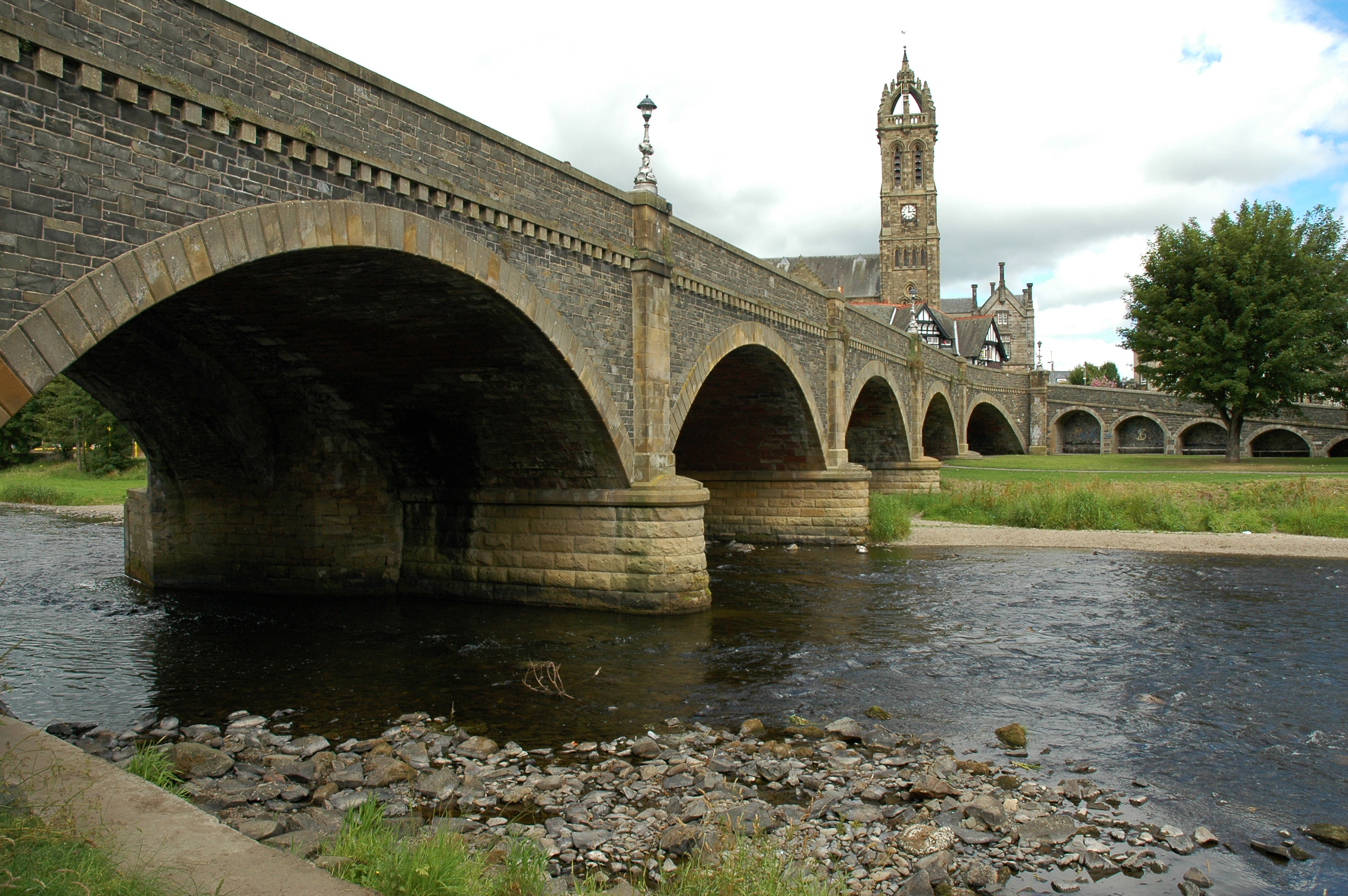
Tweed Bridge

The Tweed Bridge is a stone-built road bridge of five spans over the River Tweed in Peebles, in the Scottish Borders. == History == The Tweed Bridge is...

Nearby Amenities

Located within 500m of 55.63803,-3.1805028
Barrier: cattle_grid
Lat/Long: 55.640691/-3.1775819
Addr City: Peebles
Addr Housenumber: 41
Addr Street: Glen Crescent
Lat/Long: 55.6409096/-3.1829781
Addr City: Peebles
Addr Housenumber: 39
Addr Street: Glen Crescent
Lat/Long: 55.6408899/-3.1828708
Addr City: Peebles
Addr Housenumber: 25
Addr Street: Forest View
Lat/Long: 55.6419002/-3.1845532
Addr City: Peebles
Addr Housenumber: 24
Addr Street: Forest View
Lat/Long: 55.6418283/-3.1845532
Addr City: Peebles
Addr Housenumber: 20
Addr Street: Forest View
Lat/Long: 55.6419677/-3.1840306
Addr City: Peebles
Addr Housenumber: 21
Addr Street: Forest View
Lat/Long: 55.6419192/-3.1840352
Addr City: Peebles
Addr Housenumber: 22
Addr Street: Forest View
Lat/Long: 55.6418564/-3.1840367
Addr City: Peebles
Addr Housenumber: 23
Addr Street: Forest View
Lat/Long: 55.641808/-3.1840387
Addr City: Peebles
Addr Housenumber: 16
Addr Street: Glen Crescent
Lat/Long: 55.6411005/-3.1822337
Addr City: Peebles
Addr Housenumber: 14
Addr Street: Glen Crescent
Lat/Long: 55.6410811/-3.1821361
Addr City: Peebles
Addr Housenumber: 18
Addr Street: Provost Melrose Place
Lat/Long: 55.6421527/-3.183582
Addr City: Peebles
Addr Housenumber: 17
Addr Street: Provost Melrose Place
Lat/Long: 55.6421274/-3.1835249
Addr City: Peebles
Addr Housenumber: 16
Addr Street: Provost Melrose Place
Lat/Long: 55.6420701/-3.1833873
Addr City: Peebles
Addr Housenumber: 15
Addr Street: Provost Melrose Place
Lat/Long: 55.6420457/-3.1833309
Addr City: Peebles
Addr Housenumber: 14
Addr Street: Provost Melrose Place
Lat/Long: 55.6420179/-3.1832667
Addr City: Peebles
Addr Housenumber: 13
Addr Street: Provost Melrose Place
Lat/Long: 55.6419818/-3.1831835
Addr City: Peebles
Addr Housenumber: 12
Addr Street: Provost Melrose Place
Lat/Long: 55.6419548/-3.1831211
Addr City: Peebles
Addr Housenumber: 11
Addr Street: Provost Melrose Place
Lat/Long: 55.6419239/-3.1830496
Addr City: Peebles
Addr Housenumber: 10
Addr Street: Provost Melrose Place
Lat/Long: 55.6421995/-3.1829489
Addr City: Peebles
Addr Housenumber: 9
Addr Street: Provost Melrose Place
Lat/Long: 55.6422355/-3.1829008
Addr City: Peebles
Addr Housenumber: 8
Addr Street: Provost Melrose Place
Lat/Long: 55.6422718/-3.1828525
Addr City: Peebles
Addr Housenumber: 7
Addr Street: Provost Melrose Place
Lat/Long: 55.6423095/-3.1828024
Power: pole
Lat/Long: 55.6382921/-3.1883412
Power: pole
Lat/Long: 55.6379076/-3.1868034
Power: pole
Lat/Long: 55.6365525/-3.1868182
Power: pole
Lat/Long: 55.6356164/-3.1855257
Power: pole
Lat/Long: 55.6350146/-3.1846838
Power: pole
Lat/Long: 55.6385643/-3.1870974
Power: pole
Lat/Long: 55.6388461/-3.1858578
Power: pole
Lat/Long: 55.6391183/-3.1846542
Power: pole
Lat/Long: 55.6395815/-3.183696
Power: pole
Lat/Long: 55.6400519/-3.1827673
Power: pole
Lat/Long: 55.6400423/-3.1817668
Power: pole
Lat/Long: 55.6400388/-3.180817
Power: pole
Lat/Long: 55.6402477/-3.1799032
Power: pole
Lat/Long: 55.640453/-3.1789809
Power: pole
Lat/Long: 55.6406464/-3.1780755
Power: pole
Lat/Long: 55.6407479/-3.1776292
Power: pole
Lat/Long: 55.6409664/-3.1766625
Power: pole
Lat/Long: 55.6407766/-3.1753447
Power: pole
Lat/Long: 55.6405867/-3.1739993
Dropped Kerb
Lat/Long: 55.6420773/-3.1812148
The data included in this document is from www.openstreetmap.org. The data is made available under ODbL.

Have you been to Crooknow Covert?

Leave your review of Crooknow Covert below (or comments, questions and feedback).