Bonnington

Settlement in Peeblesshire

Scotland

Bonnington

Replanting felled area, Bonnington Woodland here was felled last year and now replanting is taking place - compare with <a href="https://www.geograph.org.uk/photo/7529238">NT2539 : Felled plantation near The Cut, Peebles</a>.
Replanting felled area, Bonnington Credit: Jim Barton

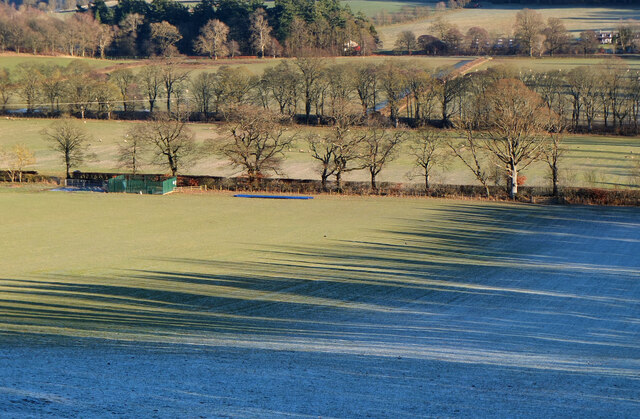
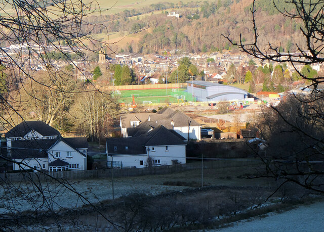
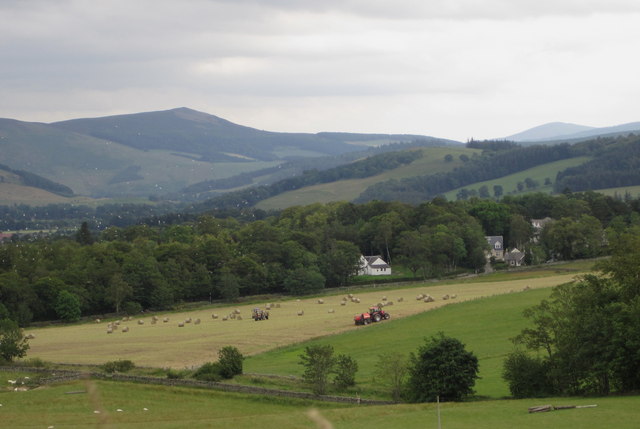
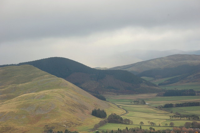
Bonnington is a small village located in the historical county of Peeblesshire, Scotland. Situated approximately 4 miles south of the town of Peebles, it is nestled in the picturesque Scottish Borders region. The village is surrounded by rolling hills and beautiful countryside, offering stunning views and a tranquil atmosphere.

Bonnington is primarily a residential area with a close-knit community. The village features a mix of traditional stone-built houses and more modern dwellings, providing a variety of housing options. The local population is relatively small, creating a friendly and welcoming environment.

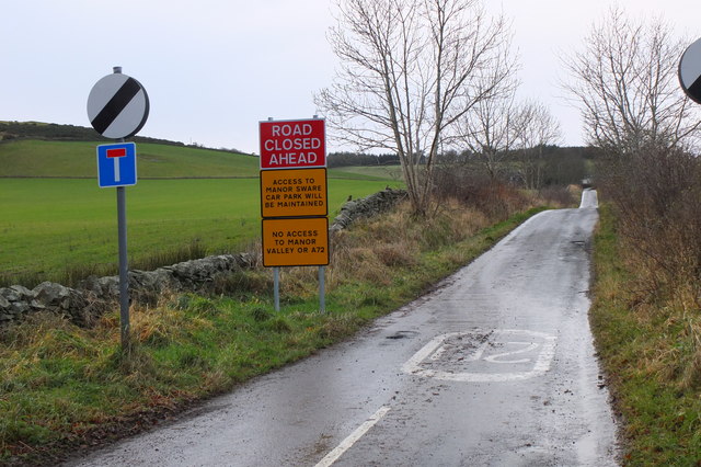
Despite its small size, Bonnington benefits from good transport links. It is conveniently located near the A72 road, which connects it to nearby towns and cities, making it easily accessible by car. Additionally, the village is served by regular bus services, allowing residents to travel to Peebles and other surrounding areas.

For amenities, residents have access to a few local shops and services within the village, including a convenience store and a post office. For more extensive shopping, entertainment, and leisure activities, the nearby town of Peebles offers a wider range of options.

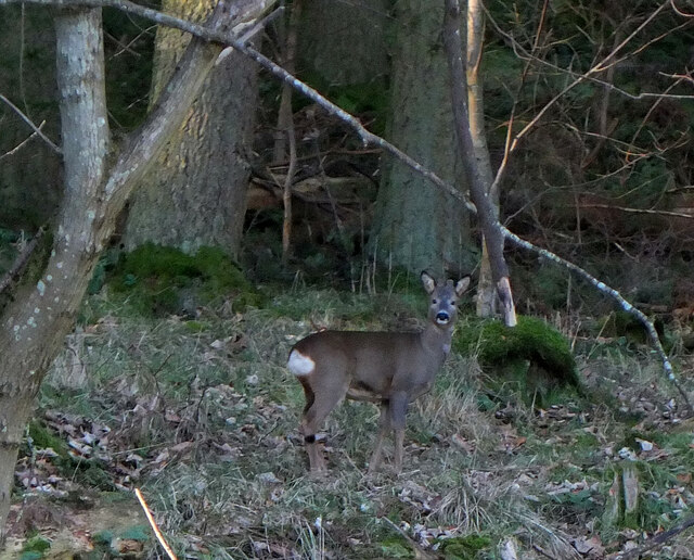
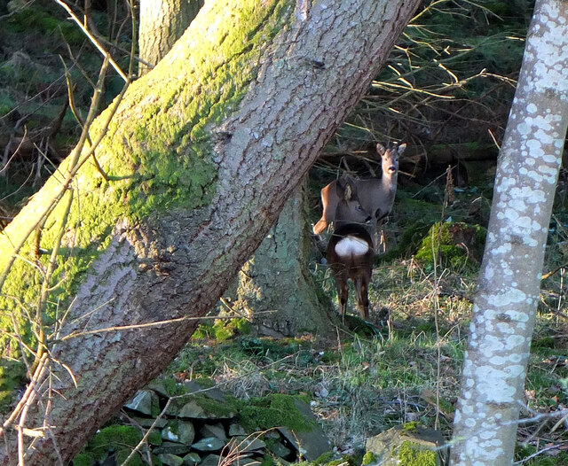
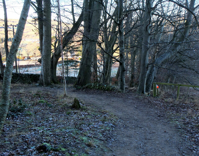
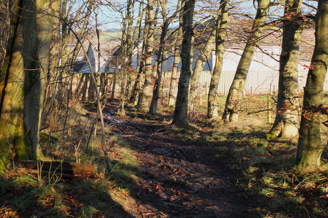
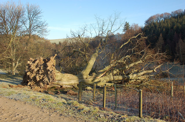
Nature enthusiasts will find plenty to explore in the surrounding area. The village is close to the beautiful Tweed Valley Forest Park, which offers opportunities for outdoor activities such as hiking, cycling, and wildlife spotting. The nearby River Tweed also provides opportunities for fishing and scenic walks along its banks.

Overall, Bonnington is a charming village that combines the tranquility of rural living with easy access to nearby towns and natural beauty, making it an attractive place to reside.

If you have any feedback on the listing, please let us know in the comments section below.
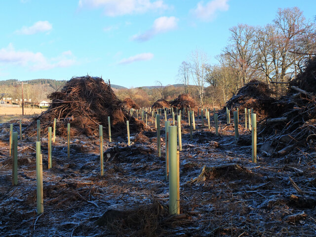
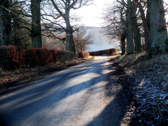
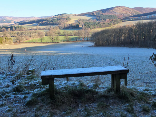
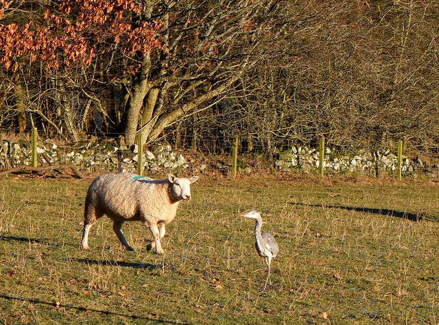
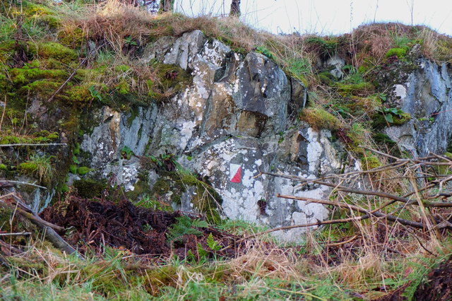
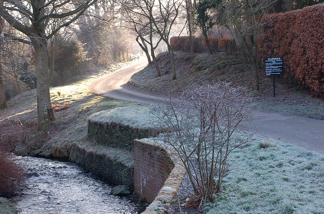
Bonnington Images

Images are sourced within 2km of 55.629761/-3.1927383 or Grid Reference NT2538. Thanks to Geograph Open Source API. All images are credited.

Replanting felled area, Bonnington Woodland here was felled last year and now replanting is taking place - compare with <a href="https://www.geograph.org.uk/photo/7529238">NT2539 : Felled plantation near The Cut, Peebles</a>.
Replanting felled area, Bonnington
Woodland here was felled last year and now replanting is taking place - compare with NT2539 : Felled plantation near The Cut, Peebles.
Tree shadows, Bonnington On the minor road around Cademuir to the Manor Valley.
Tree shadows, Bonnington
On the minor road around Cademuir to the Manor Valley.
Frosty viewpoint to Haystoun A bench on the track near Cademuir Forest car park in cold settled weather.
Frosty viewpoint to Haystoun
A bench on the track near Cademuir Forest car park in cold settled weather.
The sheep and the heron An inquisitive ewe taking a look at a heron in a pasture near Bonnington farm.
The sheep and the heron
An inquisitive ewe taking a look at a heron in a pasture near Bonnington farm.
Spiky tree shadows, Bonnington Long shadows from a strip of woodland bordering a field by the road between Peebles and Kirkton Manor.
Spiky tree shadows, Bonnington
Long shadows from a strip of woodland bordering a field by the road between Peebles and Kirkton Manor.
Roe deer, Cademuir Forest A roe deer not far from the track contouring the east edge of the woodland.
Roe deer, Cademuir Forest
A roe deer not far from the track contouring the east edge of the woodland.
Two roe deer, Cademuir Forest I spotted one deer by the track here <a href="https://www.geograph.org.uk/photo/7692276">NT2438 : Roe deer, Cademuir Forest</a>, then saw a second animal. They stayed long enough for a quick portrait.
Two roe deer, Cademuir Forest
I spotted one deer by the track here NT2438 : Roe deer, Cademuir Forest, then saw a second animal. They stayed long enough for a quick portrait.
New sports fields, Peebles High School Recently completed sports fields next to the site of the new High School currently under construction. The viewpoint is the track on the edge of the Cademuir plantation.
New sports fields, Peebles High School
Recently completed sports fields next to the site of the new High School currently under construction. The viewpoint is the track on the edge of the Cademuir plantation.
Path to Craigerne A path through a strip wood to the houses at Craigerne on the south edge of Peebles. Note the orienteering marker at the fence corner.
Path to Craigerne
A path through a strip wood to the houses at Craigerne on the south edge of Peebles. Note the orienteering marker at the fence corner.
Warning of sheep chasing by dogs A notice on a field gatepost publicising the loss of five lambs to loose or out-of-control dogs, dated 8 June 2011.
Warning of sheep chasing by dogs
A notice on a field gatepost publicising the loss of five lambs to loose or out-of-control dogs, dated 8 June 2011.
Cutting hay at Edderston near Peebles The red tractor is pulling the baling machine, and two more tractors are loading and carting the bales to the farm nearby. Left of centre is a flock of blackheaded gulls that have been feeding on the cut field. Lee Pen is the hill in the background.
Cutting hay at Edderston near Peebles
The red tractor is pulling the baling machine, and two more tractors are loading and carting the bales to the farm nearby. Left of centre is a flock of blackheaded gulls that have been feeding on the cut field. Lee Pen is the hill in the background.
Road signs near Edderston The Old Manor Brig has been closed to vehicles with apparently little prospect of re-opening, so these new signs clarify the access along the minor road past Edderston farm to the Manor Sware car parks.
Road signs near Edderston
The Old Manor Brig has been closed to vehicles with apparently little prospect of re-opening, so these new signs clarify the access along the minor road past Edderston farm to the Manor Sware car parks.
Orienteering marker, Tantah An orienteering symbol on a small outcrop by the path contouring Cademuir above Tantah. I have walked past this several dozen times without noticing it. There are several such symbols in places around Peebles.
Orienteering marker, Tantah
An orienteering symbol on a small outcrop by the path contouring Cademuir above Tantah. I have walked past this several dozen times without noticing it. There are several such symbols in places around Peebles.
Muddy path, Craigerne Path through a strip of woodland to the houses at Craigerne, soft and muddy after the stormy weather of the last two days.
Muddy path, Craigerne
Path through a strip of woodland to the houses at Craigerne, soft and muddy after the stormy weather of the last two days.
Cademuir from Whitelaw Hill A long-distance view from the ridge above the Manor Valley at Whitelaw Hill. The dry valley in view here on the S and E side of Cademuir, now farmland, is thought to have been the course of the Tweed in pre-glacial times, before the river became diverted through Neidpath gorge.
Cademuir from Whitelaw Hill
A long-distance view from the ridge above the Manor Valley at Whitelaw Hill. The dry valley in view here on the S and E side of Cademuir, now farmland, is thought to have been the course of the Tweed in pre-glacial times, before the river became diverted through Neidpath gorge.
Sunshine around the corner, Haystoun A frosty January morning in Haystoun Estate on the road to Glen Sax. For a closeup of the sign, please see <a href="https://www.geograph.org.uk/photo/2187833">NT2538 : Sign in Haystoun Estate</a>.
Sunshine around the corner, Haystoun
A frosty January morning in Haystoun Estate on the road to Glen Sax. For a closeup of the sign, please see NT2538 : Sign in Haystoun Estate.
Fallen tree, Newby Brought down in the gales either December last year or on 3rd January.
Fallen tree, Newby
Brought down in the gales either December last year or on 3rd January.
Border hillsides, Cademuir Hill Transient sunlight illuminating Cademuir Hill with Canada Hill beyond and Posso Craig in the distance across the Manor Valley.
Border hillsides, Cademuir Hill
Transient sunlight illuminating Cademuir Hill with Canada Hill beyond and Posso Craig in the distance across the Manor Valley.
Show me another place!

Bonnington is located at Grid Ref: NT2538 (Lat: 55.629761, Lng: -3.1927383)

Unitary Authority: The Scottish Borders

Police Authority: The Lothians and Scottish Borders

What 3 Words

///study.vandalism.episode. Near Peebles, Scottish Borders

Related Wikis

John Buchan Way

The John Buchan Way is a walking route from Peebles to Broughton in the Scottish Borders, a distance of approximately 22 km (13 miles). The route is waymarked...

Peebles High School, Peeblesshire

Peebles High School is a state run comprehensive school for girls and boys aged 12–18 located in Peebles in the Scottish Borders. It was originally named...

Peebles (West) railway station

Peebles (West) railway station was one of two railway stations that served the burgh of Peebles, Peeblesshire, Scotland from 1864 to 1950 on the Symington...
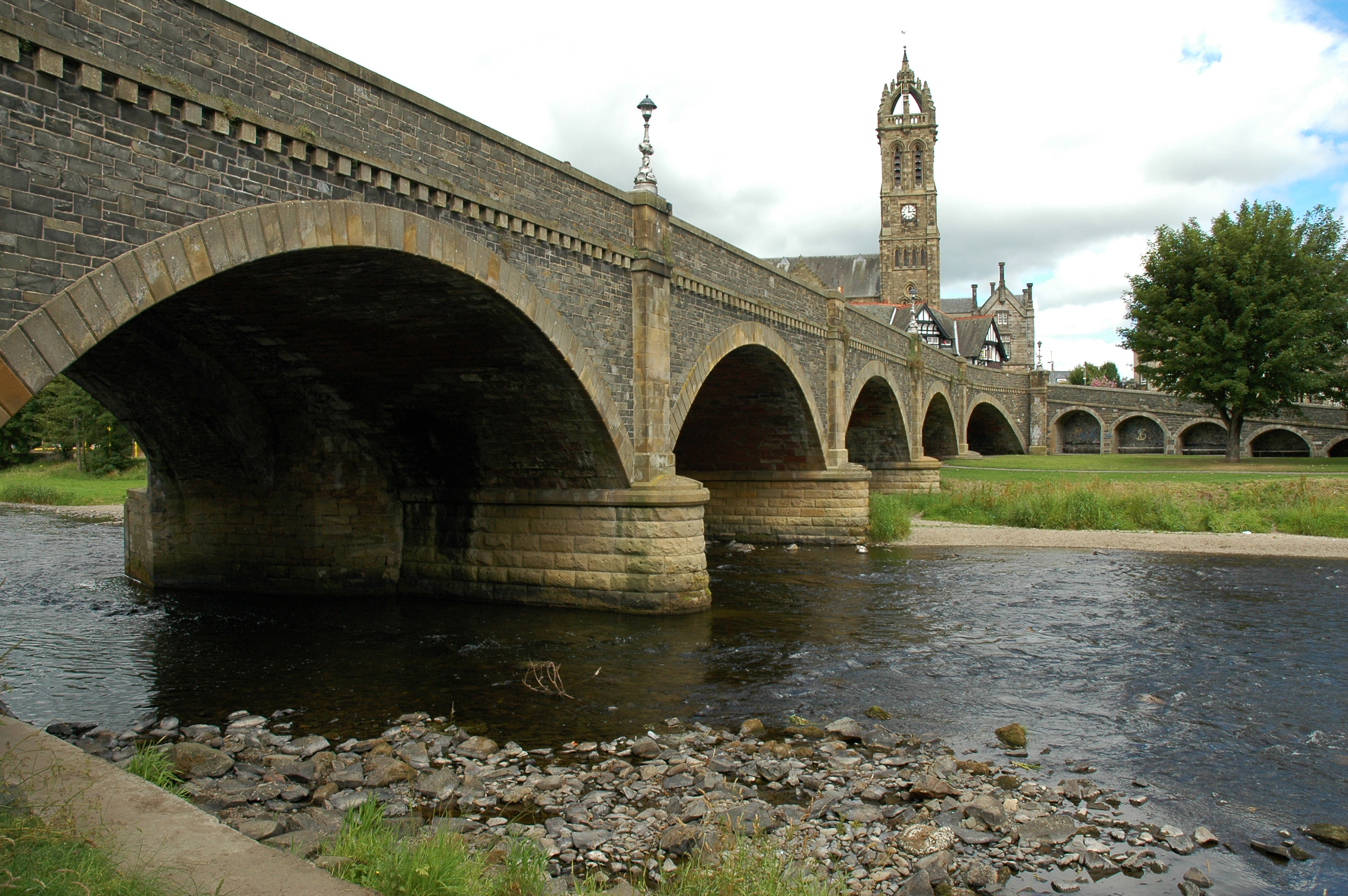
Tweed Bridge

The Tweed Bridge is a stone-built road bridge of five spans over the River Tweed in Peebles, in the Scottish Borders. == History == The Tweed Bridge is...

Nearby Amenities

Located within 500m of 55.629761,-3.1927383
Board Type: notice
Check Date: 2023-09-03
Information: board
Tourism: information
Lat/Long: 55.6325282/-3.196932
Power: pole
Lat/Long: 55.630126/-3.185365
Power: pole
Lat/Long: 55.6292805/-3.1861074
Power: pole
Lat/Long: 55.6284159/-3.1868499
Power: pole
Lat/Long: 55.6276767/-3.1875078
Power: pole
Lat/Long: 55.6268371/-3.1882228
Power: pole
Lat/Long: 55.626283/-3.1886733
Bench
Lat/Long: 55.6332621/-3.1963168
The data included in this document is from www.openstreetmap.org. The data is made available under ODbL.

Have you been to Bonnington?

Leave your review of Bonnington below (or comments, questions and feedback).