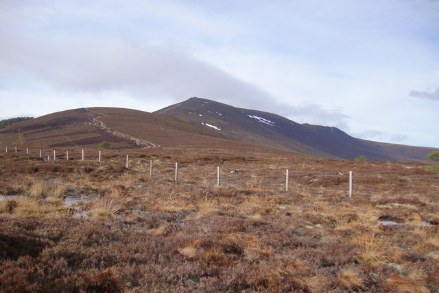
Foggy Moss
Wood, Forest in Banffshire
Scotland
Foggy Moss

Foggy Moss, located in Banffshire, Scotland, is a mesmerizing woodland filled with lush greenery and mystical ambiance. This enchanting forest spans over several acres and is renowned for its dense fog that blankets the area, hence its name.
The forest is predominantly composed of tall, mature trees, such as oak, pine, and birch, which provide a dense canopy that filters the sunlight, creating an ethereal atmosphere. The forest floor is covered in a thick layer of moss, giving the area a soft and cushioned feel underfoot.
Foggy Moss is home to a diverse range of flora and fauna. The moist environment created by the constant fog and the presence of the moss provides an ideal habitat for various species of mosses, ferns, and lichens. These small plants cover the trees, rocks, and even the forest floor, adding to the magical allure of the woodland.
The forest is also teeming with wildlife. Rare bird species, such as the capercaillie and the Scottish crossbill, can be found nesting amongst the trees. Squirrels and red deer are frequently spotted darting between the trunks, while the elusive pine marten and red fox roam the undergrowth.
Visitors to Foggy Moss can explore the forest via a network of well-maintained trails. These trails meander through the woodland, offering breathtaking views of ancient trees and allowing visitors to immerse themselves in the tranquility of nature. The fog that envelops the forest adds an extra layer of mystery and enchantment to the experience.
Foggy Moss is a true gem in Banffshire, offering a unique and magical forest experience to all who venture into its depths.
If you have any feedback on the listing, please let us know in the comments section below.
Foggy Moss Images
Images are sourced within 2km of 57.386721/-3.2417633 or Grid Reference NJ2533. Thanks to Geograph Open Source API. All images are credited.


Foggy Moss is located at Grid Ref: NJ2533 (Lat: 57.386721, Lng: -3.2417633)
Unitary Authority: Moray
Police Authority: North East
What 3 Words
///chatters.loves.camera. Near Charlestown of Aberlour, Moray
Nearby Locations
Related Wikis

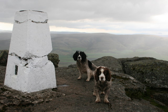
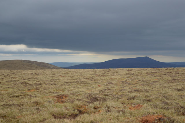
Ben Rinnes
Ben Rinnes (Scottish Gaelic: Beinn Ruaidhneis) is a mountain in Banffshire, in northern Scotland. The mountain is popular with hikers. The mountain is...
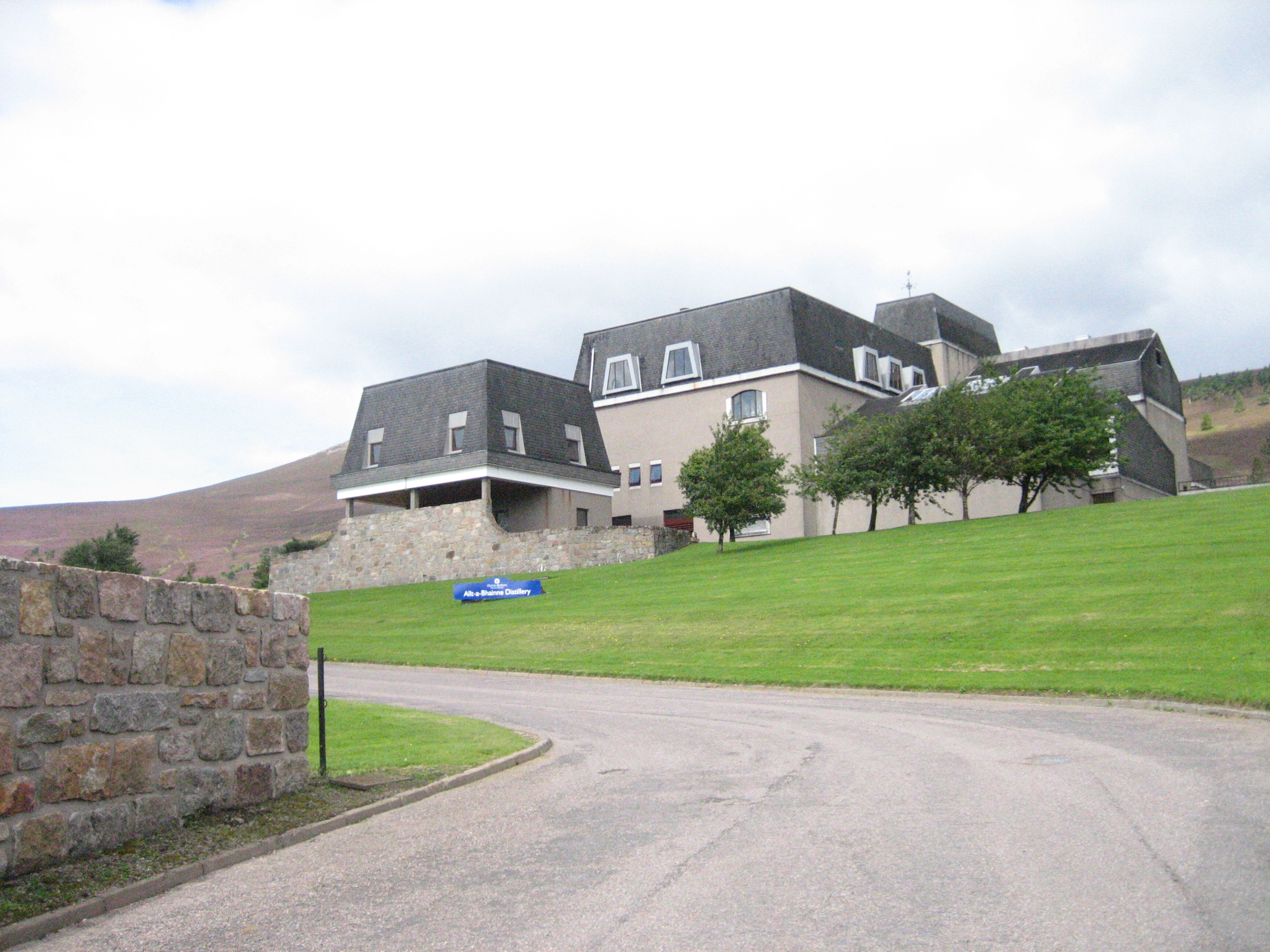
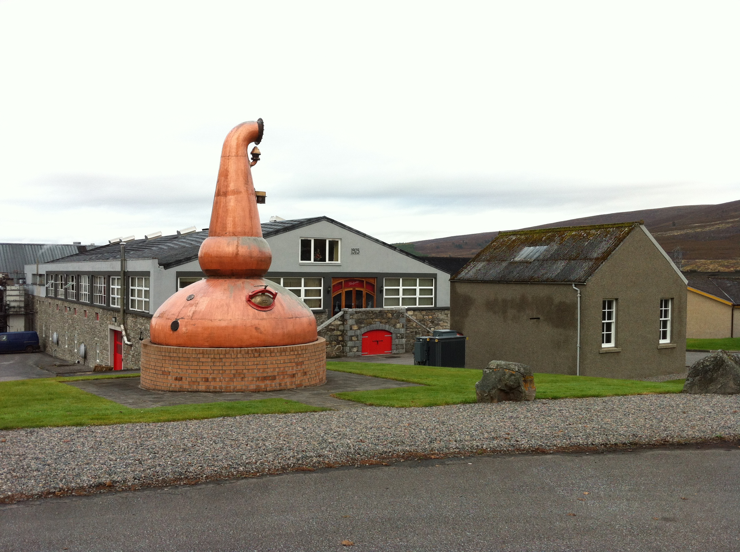
Allt-A-Bhainne distillery
Allt-A-Bhainne distillery (Scottish Gaelic: Allt a' Bhainne [al̪ˠt̪əˈvaɲə], meaning 'milk burn') is a Scotch whisky distillery in the Speyside Region of...

Achnastank
Achnastank (Scottish Gaelic: Achadh nan Staing, field of the pool/ditch) is a scattered settlement, south east of Ben Rinnes, in the Scottish council area...

Moray
Moray ( ) Scottish Gaelic: Moireibh or Moireabh) is one of the 32 local government council areas of Scotland. It lies in the north-east of the country...

Battle of Glenlivet
The Battle of Glenlivet was a Scottish clan battle fought on 3 October 1594 near Glenlivet, Moray, Scotland. It was fought between Protestant forces loyal...

Benrinnes distillery
Benrinnes distillery is a malt whisky distillery in Aberlour producing an eponymous whisky. It was founded in 1826, and is still active. The distillery...
Glenfarclas distillery
Glenfarclas distillery is a Speyside whisky distillery in Ballindalloch, Scotland. Glenfarclas translates as meaning valley of the green grass. The distillery...
Deskie Castle
Deskie Castle was a medieval tower house that is thought to have been near Bridgend of Livet, Moray, Scotland. == History == Little is known of the castle...
Nearby Amenities
Located within 500m of 57.386721,-3.2417633Have you been to Foggy Moss?
Leave your review of Foggy Moss below (or comments, questions and feedback).