Weaver's Moss

Wood, Forest in Selkirkshire

Scotland

Weaver's Moss

Forestry Track Junction near Midgehope
Forestry Track Junction near Midgehope Credit: Clive Nicholson

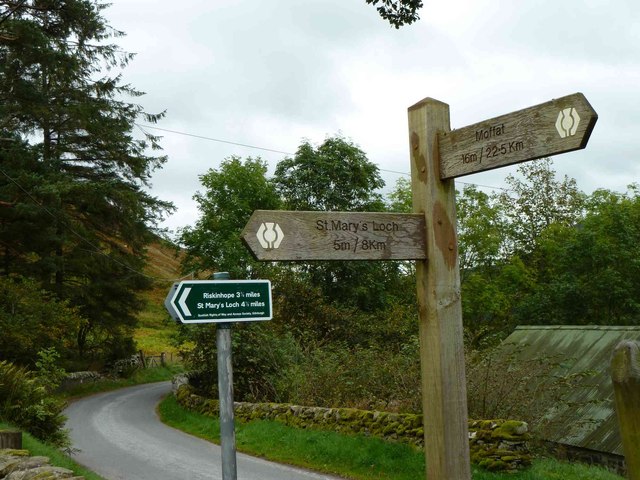
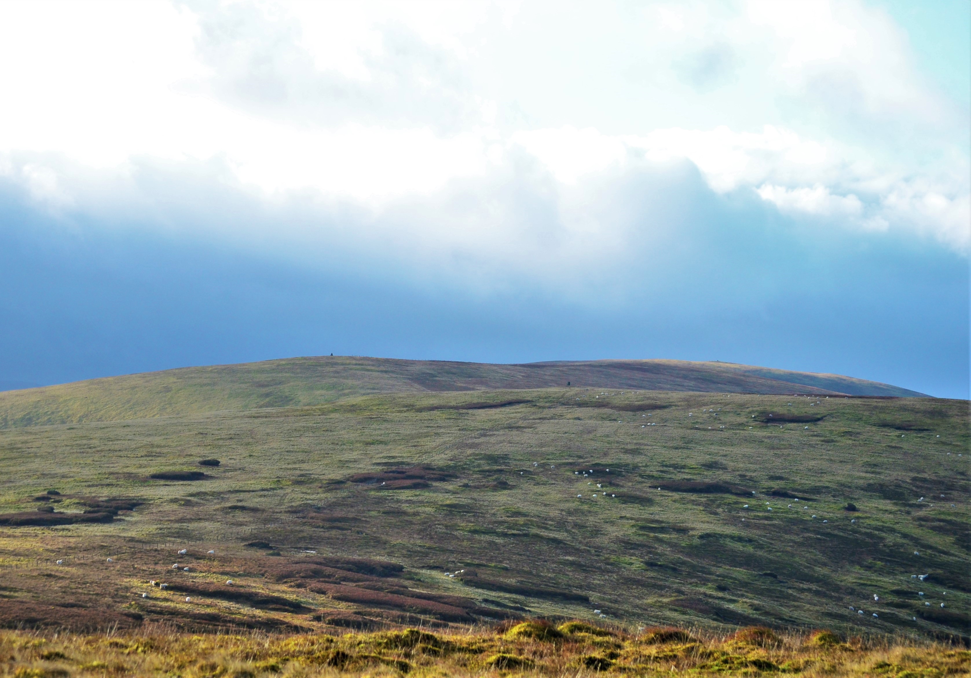
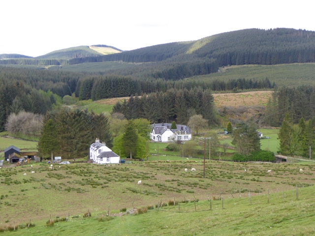
Weaver's Moss, located in the picturesque Selkirkshire in Scotland, is a captivating wood that boasts a diverse range of flora and fauna, making it a haven for nature enthusiasts and outdoor lovers alike. Nestled amidst rolling hills and beautiful landscapes, this enchanting forest covers an area of approximately 500 acres.

The wood is primarily composed of dense, towering trees, dominated by majestic specimens of oak, beech, and birch. These ancient trees create a unique canopy that provides shade and a sense of tranquility throughout the wood. Beneath the canopy, a lush undergrowth thrives, consisting of ferns, mosses, and wildflowers, adding a splash of color to the forest floor.

Weaver's Moss is home to a variety of wildlife. Keen observers may spot red squirrels darting among the branches, while a myriad of bird species, including woodpeckers and owls, can be heard and occasionally seen perched on the branches. The forest is also a haven for deer, with occasional sightings of these graceful creatures adding to the magical atmosphere.

Within the wood, there are several walking trails that wind through the forest, providing visitors with an opportunity to immerse themselves in the natural beauty of the surroundings. These trails range from easy strolls to more challenging hikes, catering to individuals of all fitness levels.

Weaver's Moss is a true gem of Selkirkshire, offering a serene and awe-inspiring experience for those seeking to reconnect with nature. Its bountiful flora and fauna, coupled with its stunning landscapes, make it a must-visit destination for anyone looking to escape the hustle and bustle of everyday life.

If you have any feedback on the listing, please let us know in the comments section below.

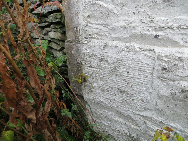
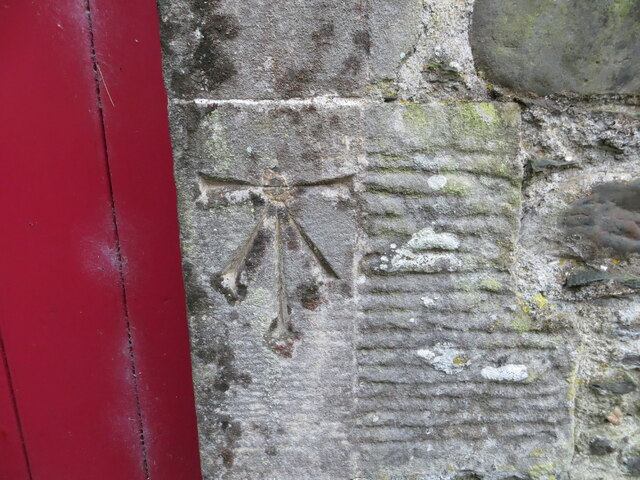
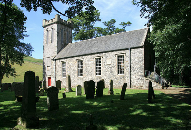
Weaver's Moss Images

Images are sourced within 2km of 55.406042/-3.1789923 or Grid Reference NT2513. Thanks to Geograph Open Source API. All images are credited.

Forestry Track Junction near Midgehope
Brock Sike in the heavily forested Midgehope valley
Ettrick Parish Church From the slopes of Craig Hill.  We walked from St Mary's Loch and there was supposed to be a path to the church on the east of the hill, but we couldn't find it.
Ettrick Parish Church
From the slopes of Craig Hill. We walked from St Mary's Loch and there was supposed to be a path to the church on the east of the hill, but we couldn't find it.
St Mary's Loch Signpost Signs to St Mary's Loch at Scabcleuch.  Which one is right?  They both are, as they take slightly different routes.
St Mary's Loch Signpost
Signs to St Mary's Loch at Scabcleuch. Which one is right? They both are, as they take slightly different routes.
Ettrick Parish Church A view showing the fine stonework and wrought iron hand rails.  There was an exhibition of artefacts, photographs and articles about the church in a small room accessed through the door at the top of the stairs.
Ettrick Parish Church
A view showing the fine stonework and wrought iron hand rails. There was an exhibition of artefacts, photographs and articles about the church in a small room accessed through the door at the top of the stairs.
Pulpit, Ettrick Kirk The pulpit is a classic Scottish 'double decker' with the precentor's box, below the minister's pulpit, here fitted with a  sounding board to amplify the voice. Its most famous occupant was Rev Thomas Boston (1676-1732), who became minister in 1707. Boston was famous, among other things, for his book 'Human Nature in its Fourfold State', which has not been out of print since its original publication during the author's lifetime. This book, along with the Bible and Psalmbook, was owned by most church-going families in Scotland until the decline of evangelicalism in the middle of the 20th century.
Pulpit, Ettrick Kirk
The pulpit is a classic Scottish 'double decker' with the precentor's box, below the minister's pulpit, here fitted with a sounding board to amplify the voice. Its most famous occupant was Rev Thomas Boston (1676-1732), who became minister in 1707. Boston was famous, among other things, for his book 'Human Nature in its Fourfold State', which has not been out of print since its original publication during the author's lifetime. This book, along with the Bible and Psalmbook, was owned by most church-going families in Scotland until the decline of evangelicalism in the middle of the 20th century.
Ettrick
Ettrick
Ettrick Marshes from beneath Ramseycleuch Kip
Looking up the Ettrick Valley from the lower slopes of Ramseycleuch Kip
Minor road at Ettrickhill Looking north-eastward.
Minor road at Ettrickhill
Looking north-eastward.
Ettrick Kirk and part of its Burial Ground Viewed from the northwest.
Ettrick Kirk and part of its Burial Ground
Viewed from the northwest.
Minor road at Scabcleugh Looking eastward. At this point Scabcleugh Burn flows beneath the road.
Minor road at Scabcleugh
Looking eastward. At this point Scabcleugh Burn flows beneath the road.
Minor road and bridge near Cossarhill Farm Looking southward. At this point Cossarhill Burn flows beneath the road.
Minor road and bridge near Cossarhill Farm
Looking southward. At this point Cossarhill Burn flows beneath the road.
Minor road between Cossarhill and Brockhoperig Looking south-westward. Ettrick Water can be glimpsed through the trees on the left.
Minor road between Cossarhill and Brockhoperig
Looking south-westward. Ettrick Water can be glimpsed through the trees on the left.
Ordnance Survey Cut Mark This mark can be found on the roadside wall of a barn at Ettrickhill.
The recorded details give a height of 235.2752 metres above sea level.
For more details see : <span class="nowrap"><a title="https://www.bench-marks.org.uk/bm156448" rel="nofollow ugc noopener" href="https://www.bench-marks.org.uk/bm156448">Link</a><img style="margin-left:2px;" alt="External link" title="External link - shift click to open in new window" src="https://s1.geograph.org.uk/img/external.png" width="10" height="10"/></span>
Ordnance Survey Cut Mark
This mark can be found on the roadside wall of a barn at Ettrickhill. The recorded details give a height of 235.2752 metres above sea level. For more details see : LinkExternal link
Ordnance Survey Cut Mark with Bolt This mark and bolt can be found on the wall of Ettrick Kirk.
The recorded details give a height of 246.6228 metres above sea level.
For more details see : <span class="nowrap"><a title="https://www.bench-marks.org.uk/bm156449" rel="nofollow ugc noopener" href="https://www.bench-marks.org.uk/bm156449">Link</a><img style="margin-left:2px;" alt="External link" title="External link - shift click to open in new window" src="https://s1.geograph.org.uk/img/external.png" width="10" height="10"/></span>
Ordnance Survey Cut Mark with Bolt
This mark and bolt can be found on the wall of Ettrick Kirk. The recorded details give a height of 246.6228 metres above sea level. For more details see : LinkExternal link
Ordnance Survey Cut Mark This mark can be found on a roadside milestone near to Scabcleuch.
The recorded details give a height of 247.7354 metres above sea level.
For more details see : <span class="nowrap"><a title="https://www.bench-marks.org.uk/bm156450" rel="nofollow ugc noopener" href="https://www.bench-marks.org.uk/bm156450">Link</a><img style="margin-left:2px;" alt="External link" title="External link - shift click to open in new window" src="https://s1.geograph.org.uk/img/external.png" width="10" height="10"/></span>
Ordnance Survey Cut Mark
This mark can be found on a roadside milestone near to Scabcleuch. The recorded details give a height of 247.7354 metres above sea level. For more details see : LinkExternal link
The Southern Upland Way near Scabcleuch The Southern Upland Way follows this minor road along the Ettrick Valley between Scabcleuch and Longhope Burn.
The Southern Upland Way near Scabcleuch
The Southern Upland Way follows this minor road along the Ettrick Valley between Scabcleuch and Longhope Burn.
Show me another place!

Weaver's Moss is located at Grid Ref: NT2513 (Lat: 55.406042, Lng: -3.1789923)

Unitary Authority: The Scottish Borders

Police Authority: The Lothians and Scottish Borders

What 3 Words

///monkey.microfilm.summit. Near Ettrick, Scottish Borders

Related Wikis

Ettrick, Scotland

Ettrick (Scottish Gaelic: Eadaraig, IPA: [ˈet̪əɾɪkʲ]) is a small village and civil parish in the Scottish Borders area of Scotland. It is located on the...

Andrewhinney Hill

Andrewhinney Hill is a hill in the Ettrick Hills range, part of the Southern Uplands of Scotland. It is the highest summit of a ridge that runs parallel...

Tushielaw Tower

Tushielaw Tower is a 16th-century tower house, about 2.5 miles (4.0 km) north and east of Ettrick, Scottish Borders, Scotland, and west of Ettrick Water...

Dob's Linn

Dob's Linn is a small steep valley in Dumfries and Galloway, just north of the A708 road between Moffat and Selkirk, in Scotland. It is part of the Grey...

Southern Uplands

The Southern Uplands (Scottish Gaelic: Na Monaidhean a Deas) are the southernmost and least populous of mainland Scotland's three major geographic areas...
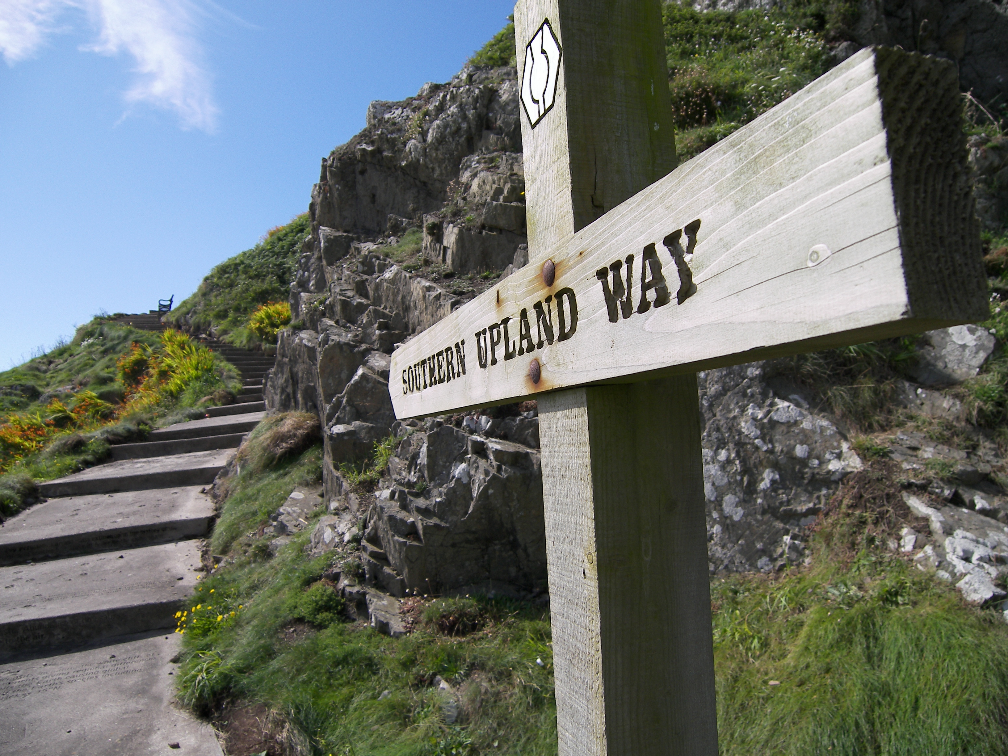
Southern Upland Way

The Southern Upland Way is a 344-kilometre (214 mi) coast-to-coast long-distance footpath in southern Scotland. The route links Portpatrick in the west...

Grey Mare's Tail, Moffat Hills

Grey Mare's Tail is a 60-metre (200 ft) hanging valley waterfall near to Moffat in southern Scotland. The fall is produced by the Tail Burn flowing from...

Buccleuch, Scottish Borders

East and West Buccleuch ( bə-KLOO) are two homesteads in the Scottish Borders, in the Ettrick parish of historic Selkirkshire. They are located off the...

Have you been to Weaver's Moss?

Leave your review of Weaver's Moss below (or comments, questions and feedback).