Black Wood

Wood, Forest in Angus

Scotland

Black Wood

Tullybaccart viewpoint This small cairn marks the highest point of the land around the Tullybaccart quarry. The point is surrounded mostly by tree plantations. This is the view towards the south into Fife - the Lomond hills on the horizon on the right.
Tullybaccart viewpoint Credit: Aleks Scholz

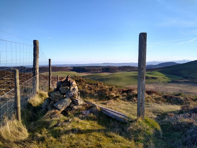
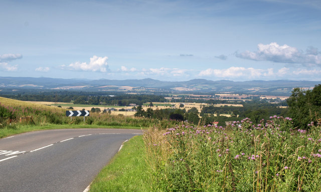
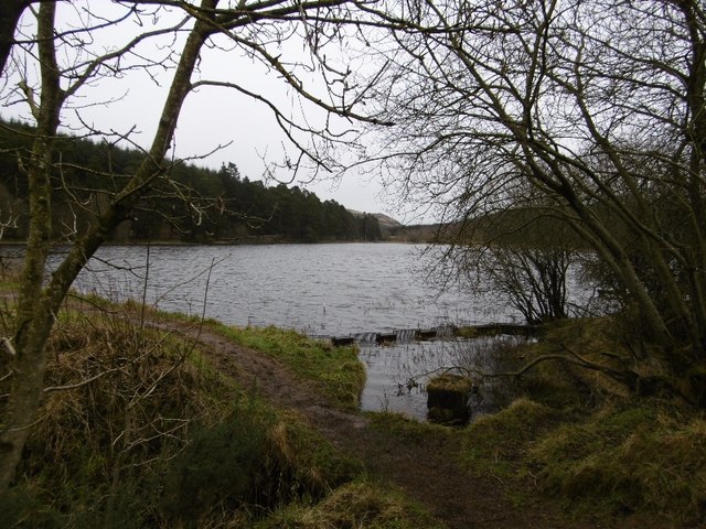
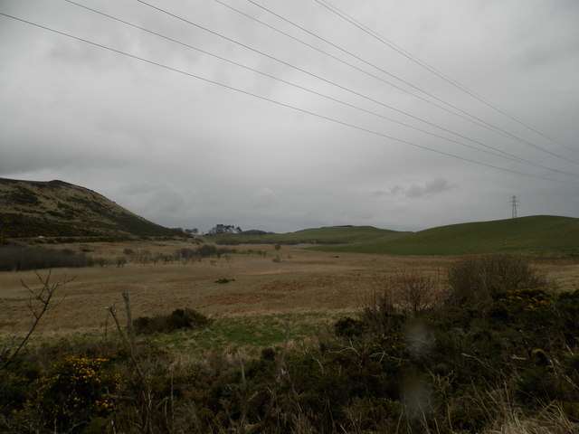
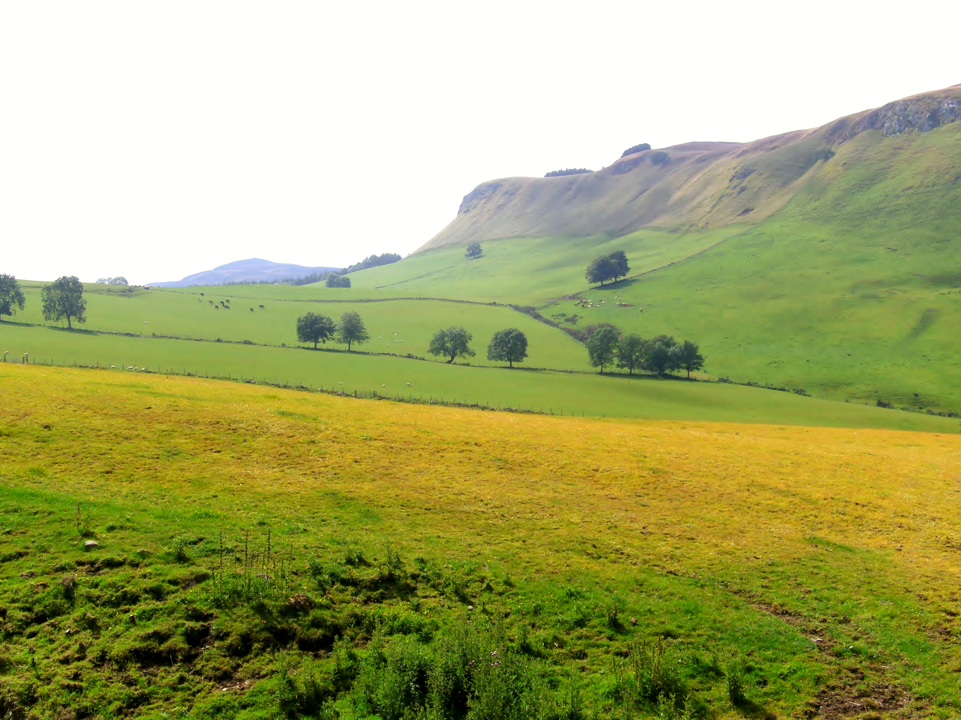
Black Wood, Angus, also known as Black Wood Forest, is a magnificent woodland located in the county of Angus, Scotland. Covering an area of approximately 1,200 hectares, it is one of the largest remaining areas of native Caledonian forest in the country.

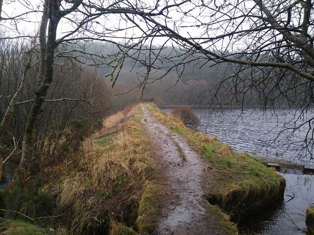
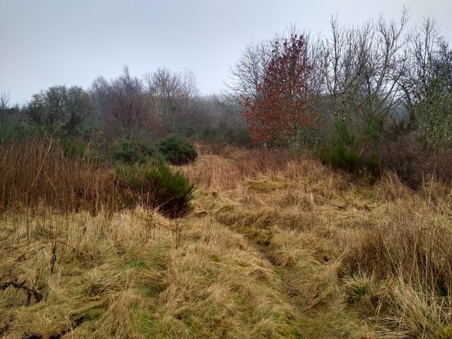
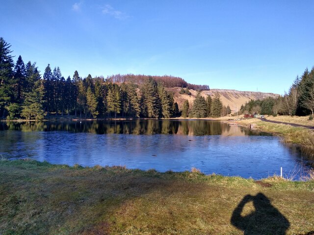
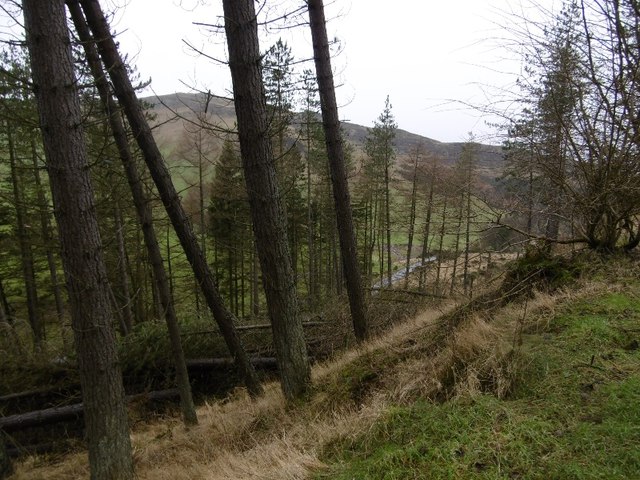
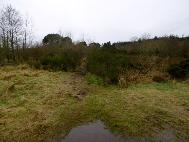
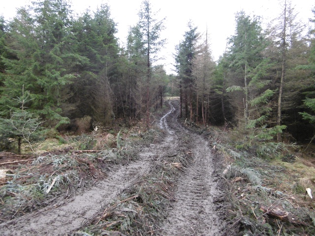
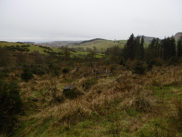
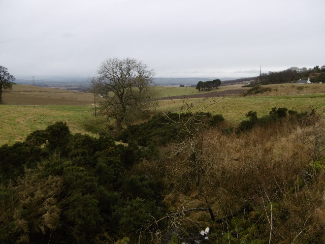
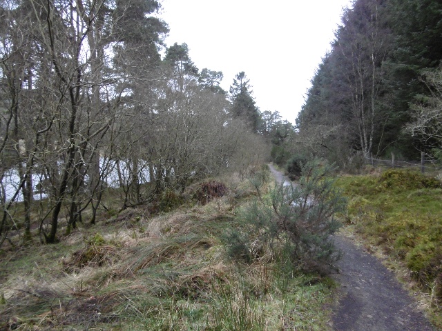
This ancient forest is characterized by its dense, dark canopy of towering pine and oak trees, which give it its distinctive name. The forest floor is covered with a rich carpet of mosses, ferns, and wildflowers, creating a lush and vibrant undergrowth. The wood is also home to a diverse range of wildlife, including red squirrels, pine martens, and a variety of bird species such as capercaillie and black grouse.

Black Wood has a fascinating history dating back thousands of years. It is believed to have been inhabited by humans since prehistoric times, with archaeological evidence suggesting settlements and activities in the area. The forest has also played a significant role in the local economy, providing timber for construction and fuel for centuries.

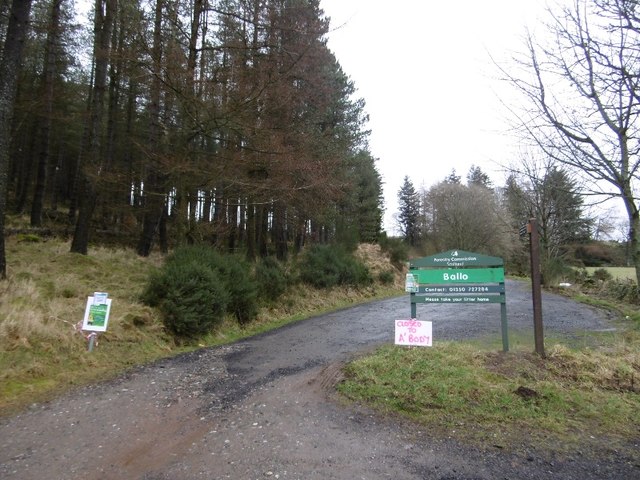
Today, Black Wood is managed by the Forestry Commission Scotland, which aims to protect and preserve its unique ecosystem. The forest offers numerous walking trails and paths for visitors to explore, allowing them to immerse themselves in the tranquility and beauty of this ancient woodland.

Overall, Black Wood, Angus is a remarkable natural treasure, offering both a glimpse into Scotland's ancient past and a haven for wildlife and nature enthusiasts.

If you have any feedback on the listing, please let us know in the comments section below.
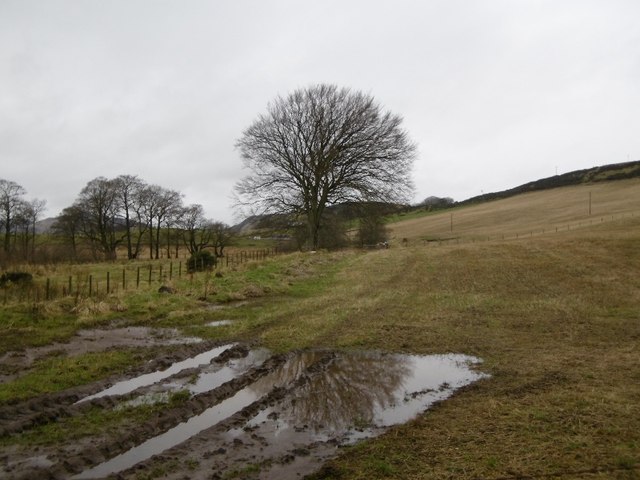
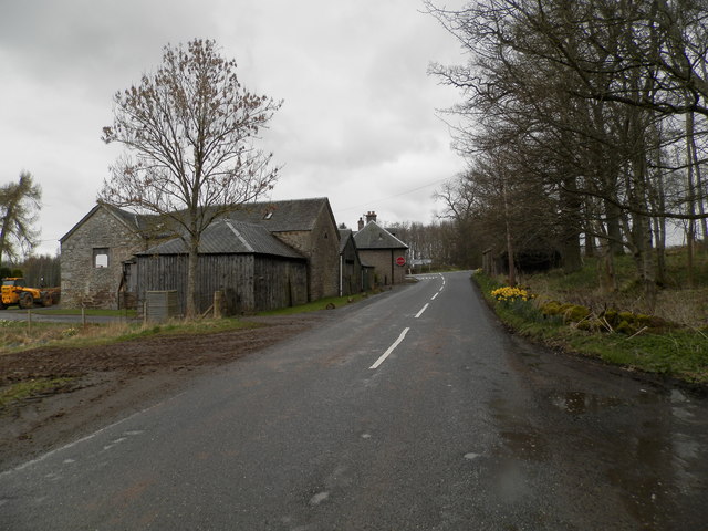
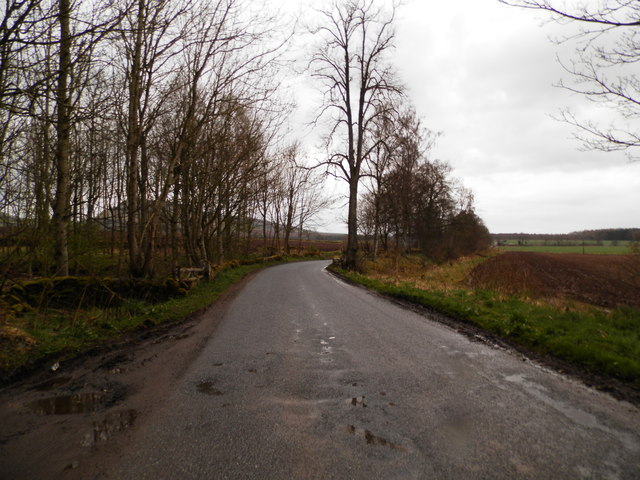
Black Wood Images

Images are sourced within 2km of 56.511121/-3.2140882 or Grid Reference NO2536. Thanks to Geograph Open Source API. All images are credited.

Tullybaccart viewpoint This small cairn marks the highest point of the land around the Tullybaccart quarry. The point is surrounded mostly by tree plantations. This is the view towards the south into Fife - the Lomond hills on the horizon on the right.
Tullybaccart viewpoint
This small cairn marks the highest point of the land around the Tullybaccart quarry. The point is surrounded mostly by tree plantations. This is the view towards the south into Fife - the Lomond hills on the horizon on the right.
Laird's Loch dam This is the western limit of Laird's Loch, on a day with low clouds.
Laird's Loch dam
This is the western limit of Laird's Loch, on a day with low clouds.
This is a path It's hard to tell, but this is a path that branches off the main track to Laird's Loch, and leads towards Ballo Hill. It eventually reaches a fence, but a network of similarly faint and muddy tracks covers the slopes south of the loch.
This is a path
It's hard to tell, but this is a path that branches off the main track to Laird's Loch, and leads towards Ballo Hill. It eventually reaches a fence, but a network of similarly faint and muddy tracks covers the slopes south of the loch.
Ledcrieff Loch The loch seen from the dam at its western edge.
Ledcrieff Loch
The loch seen from the dam at its western edge.
Bend on A923 With a view in the direction of Pitcur and Coupar Angus.
Bend on A923
With a view in the direction of Pitcur and Coupar Angus.
Ballo Glack Looking down on the road from the forest on Northballo Hill.
Ballo Glack
Looking down on the road from the forest on Northballo Hill.
Path to Laird's Loch A muddy narrow path through undergrowth - well used though, I wheeled a bike across and somebody carried an inflatable canoe through a few minutes earlier.
Path to Laird's Loch
A muddy narrow path through undergrowth - well used though, I wheeled a bike across and somebody carried an inflatable canoe through a few minutes earlier.
Car park, North Ballo Lots of closure notices due to felling by the Laird's Loch.  No notices on the other side and I got through from Laird's Loch without problems   - it was a Saturday and also looked like the timber extraction work was complete.
Car park, North Ballo
Lots of closure notices due to felling by the Laird's Loch. No notices on the other side and I got through from Laird's Loch without problems - it was a Saturday and also looked like the timber extraction work was complete.
Laird's Loch Outflow beside the dam.
Laird's Loch
Outflow beside the dam.
Timber tracks The block to the south of Laird's Loch had been recently felled and the timber extracted by this track to a logging road further up Northballo Hill.  Great news as the track to the south of Northballo Hill was undamaged.
Timber tracks
The block to the south of Laird's Loch had been recently felled and the timber extracted by this track to a logging road further up Northballo Hill. Great news as the track to the south of Northballo Hill was undamaged.
Woodland, Northballo Hill A replanted area gives a view out of the forest.
Woodland, Northballo Hill
A replanted area gives a view out of the forest.
Tullybachart A view down the Kettins Burn, or what will become the Kettins Burn from the farm driveway.
Tullybachart
A view down the Kettins Burn, or what will become the Kettins Burn from the farm driveway.
Path beside Laird's Loch After the muddy bit in the Hallyburton Community Wood, a solid surface passing the loch.
Path beside Laird's Loch
After the muddy bit in the Hallyburton Community Wood, a solid surface passing the loch.
Stubble, Little Ballo Stubble covered slopes of Little Ballo Hill beside a wetland area.
Stubble, Little Ballo
Stubble covered slopes of Little Ballo Hill beside a wetland area.
Yellow road, Little Ballo
Former farm at Ashley Now a private dwelling.
Former farm at Ashley
Now a private dwelling.
Minor road at Ashley Den
Lochindores, Tullybaccart
Show me another place!

Black Wood is located at Grid Ref: NO2536 (Lat: 56.511121, Lng: -3.2140882)

Unitary Authority: Perth and Kinross

Police Authority: Tayside

What 3 Words

///coconut.shade.incurring. Near Coupar Angus, Perth & Kinross

Related Wikis

Northballo Hill

Northballo Hill is one of the hills of the Sidlaw range in South East Perthshire, and is located near Coupar Angus. It is popular with dog walkers and...

Pitcur

Pitcur is a hamlet at the eastern edge of Perth and Kinross, Scotland, about 2.5 miles (4.0 km) southeast of Coupar Angus.It is home to the ruined 16th...

Gask Hill

Gask Hill is one of the least climbed hills of the Sidlaw range in south east Perthshire, Scotland. Gask Hill is located near Coupar Angus and is seen...

Sidlaws

The Sidlaws are a range of hills in the counties of Perthshire and Angus in Scotland that extend for 30 miles (45 km) from Kinnoull Hill, near Perth, northeast...

Lundie Craigs

Lundie Craigs/Westerkeith Hill is one of the hills of the Sidlaw range in South East Perthshire.Lundie Craigs/Westerkeith Hill is located near Coupar Angus...

Kettins

Kettins is a village in Perth and Kinross, Scotland about 14 miles (23 kilometres) northeast of Perth and 11 miles (18 kilometres) northwest of Dundee...

Lundie Kirk

Lundie Kirk was the parish church of Lundie, Angus, in Scotland from the 12th century until 2017. The church was constructed in Romanesque style in the...

Lundie

Lundie is a parish and small settlement in Angus, Scotland, 10 miles (16 km) northwest of Dundee, situated at the head of the Dighty valley in the Sidlaws...

Nearby Amenities

Located within 500m of 56.511121,-3.2140882
Power: tower
Lat/Long: 56.513824/-3.2092602
Power: tower
Lat/Long: 56.5151855/-3.2122911
Hill of Dores
Natural: peak
Lat/Long: 56.5106927/-3.2083389
The data included in this document is from www.openstreetmap.org. The data is made available under ODbL.

Have you been to Black Wood?

Leave your review of Black Wood below (or comments, questions and feedback).