North Den Strip
Wood, Forest in Perthshire
Scotland
North Den Strip
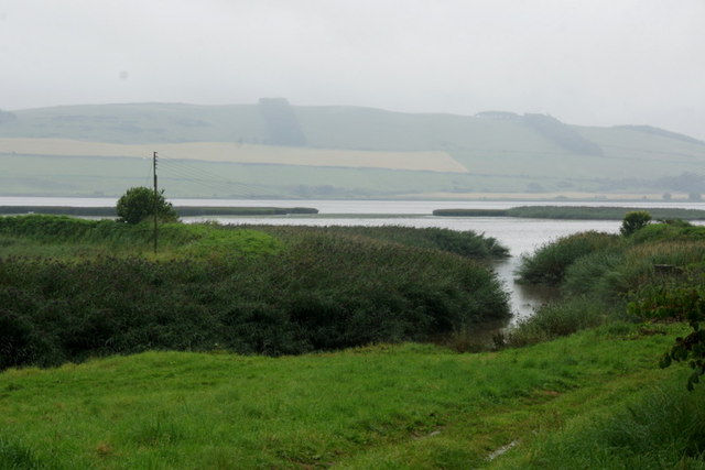
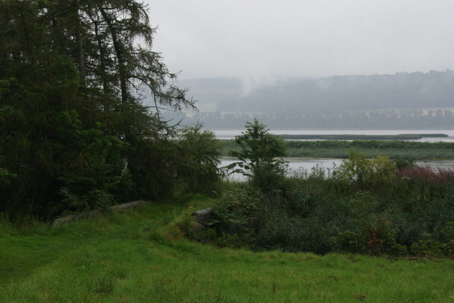
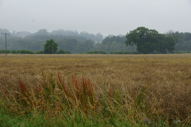
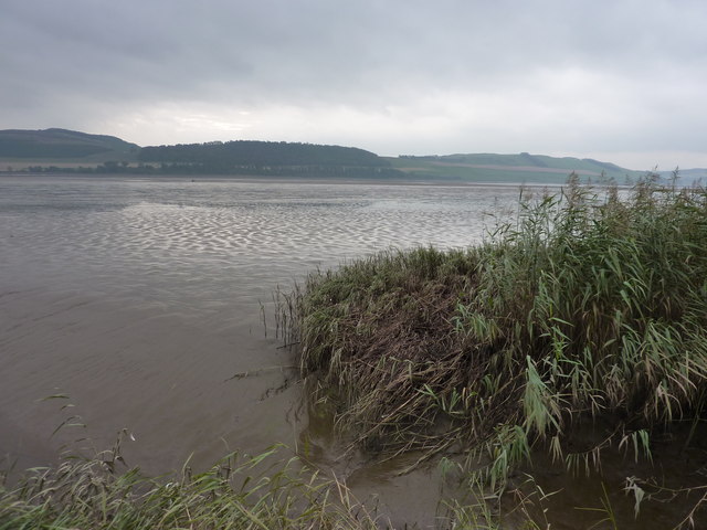
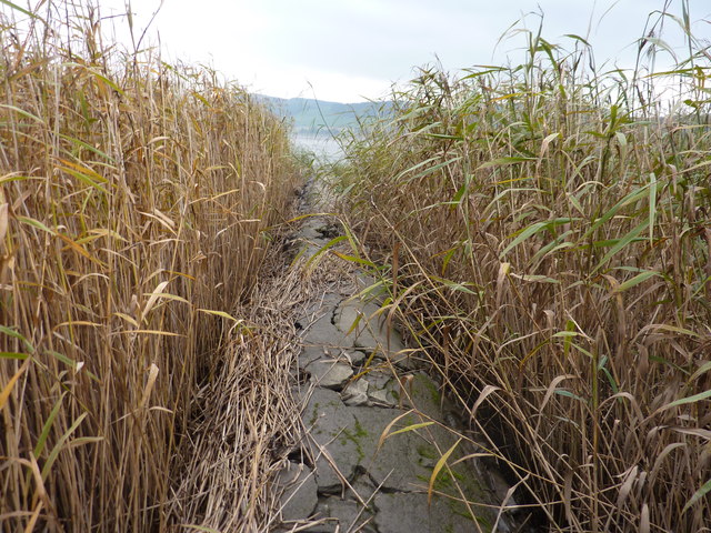
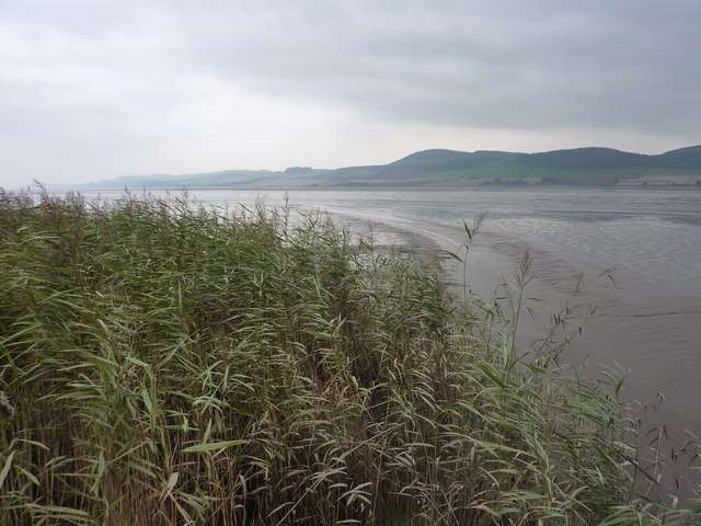
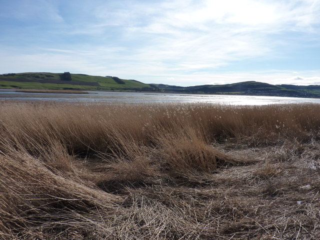
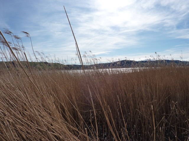
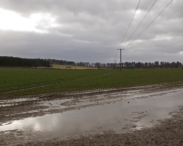
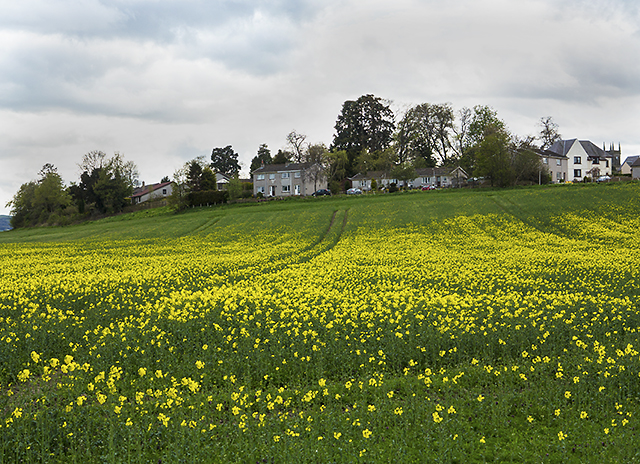
North Den Strip, located in Perthshire, Scotland, is a picturesque woodland area renowned for its natural beauty and tranquil atmosphere. Covering an area of approximately 200 hectares, it offers visitors a unique opportunity to immerse themselves in a diverse and well-preserved forest environment.
The woodland is predominantly composed of native species such as oak, birch, and pine trees, forming a dense canopy that provides shade and shelter for a variety of flora and fauna. The forest floor is adorned with a rich carpet of wildflowers, ferns, and mosses, creating a vibrant and colorful scene throughout the year.
North Den Strip is intersected by several walking trails, allowing visitors to explore the forest at their own pace. These well-maintained paths wind through the woods, offering breathtaking views of the surrounding landscape and access to secluded picnic areas. The trails are suitable for all ages and abilities, making the woodland a popular destination for families, hikers, and nature enthusiasts.
The woodland is home to a diverse range of wildlife, including red squirrels, roe deer, and a variety of bird species. Birdwatchers can spot woodpeckers, jays, and buzzards among the treetops, while lucky visitors may even catch a glimpse of elusive otters along the nearby riverbanks.
North Den Strip is not only a haven for nature lovers but also serves as an important educational resource. The woodland is regularly used as a site for environmental education programs, providing opportunities for schools and community groups to learn about the local ecosystem and conservation efforts.
Overall, North Den Strip in Perthshire is a captivating woodland retreat, offering a serene and immersive experience in the heart of nature.
If you have any feedback on the listing, please let us know in the comments section below.
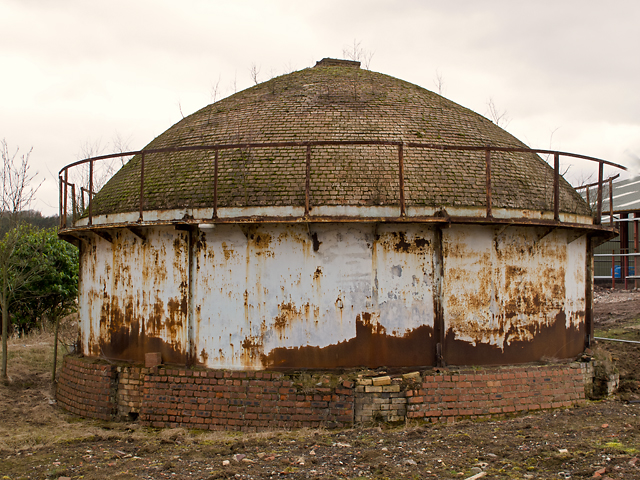
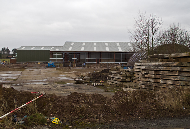
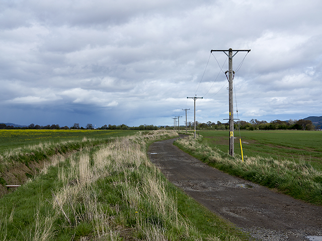
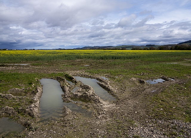
North Den Strip Images
Images are sourced within 2km of 56.385771/-3.218972 or Grid Reference NO2422. Thanks to Geograph Open Source API. All images are credited.

North Den Strip is located at Grid Ref: NO2422 (Lat: 56.385771, Lng: -3.218972)
Unitary Authority: Perth and Kinross
Police Authority: Tayside
What 3 Words
///steps.skillet.opts. Near Errol, Perth & Kinross
Nearby Locations
Related Wikis

Errol, Perth and Kinross
Errol is a village in Perth and Kinross, Scotland about halfway between Dundee and Perth. It is one of the principal settlements of the Carse of Gowrie...
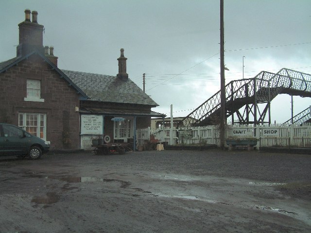
Errol railway station
Errol railway station served the village of Errol, Perth and Kinross, Scotland, from 1847 to 1985 on the Dundee and Perth Railway. == History == The station...

Megginch Castle
Megginch Castle is a 15th-century castle in Perth and Kinross, in central Scotland. It was the family home of Cherry, 16th Baroness Strange. It is now...

RAF Errol
Royal Air Force Errol or more simply RAF Errol is a former Royal Air Force station located near the village of Errol in Perth & Kinross, Scotland, on the...
Inner Tay Estuary
The Inner Tay Estuary is the inner, western part of the Firth of Tay, from the Tay Railway Bridge in the east to the Queen's Bridge over the River Tay...
Leetown, Perth and Kinross
Leetown is a small community located at the western end of the Carse of Gowrie along the eastern seaboard of Scotland. It lies between the A90 road and...

Lindores Abbey
Lindores Abbey was a Tironensian abbey on the outskirts of Newburgh in Fife, Scotland. Now a reduced ruin, it lies on the southern banks of the River Tay...

Lindores Abbey distillery
Lindores Abbey distillery is a Scotch whisky distillery in Newburgh in the Lowlands whisky region in Scotland and is directly opposite the Abbey. It started...
Nearby Amenities
Located within 500m of 56.385771,-3.218972Have you been to North Den Strip?
Leave your review of North Den Strip below (or comments, questions and feedback).