Den Clump

Wood, Forest in Perthshire

Scotland

Den Clump

Reedbeds at Port Allen
Reedbeds at Port Allen Credit: Mike Pennington

The requested URL returned error: 429 Too Many Requests

If you have any feedback on the listing, please let us know in the comments section below.
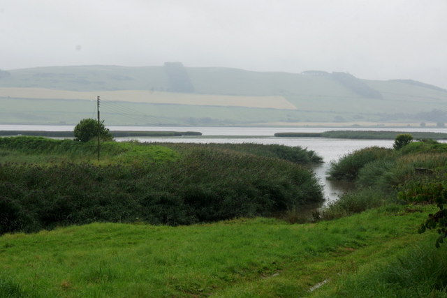
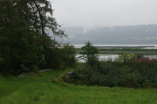
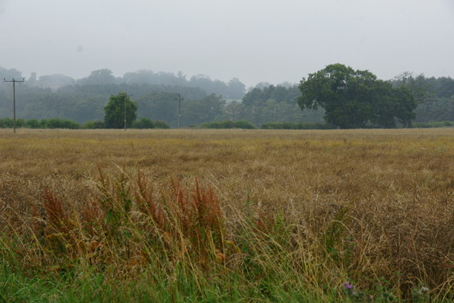
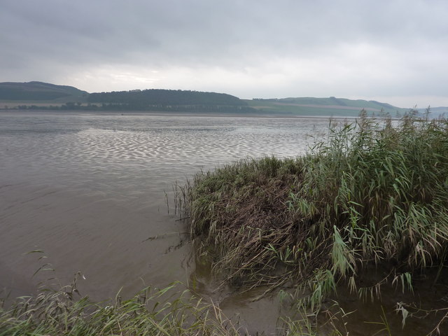
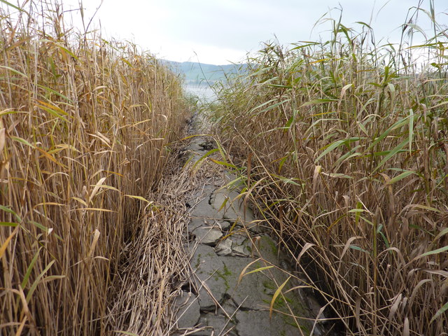
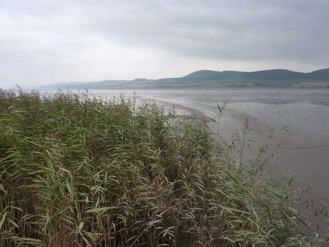
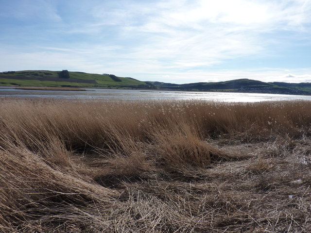
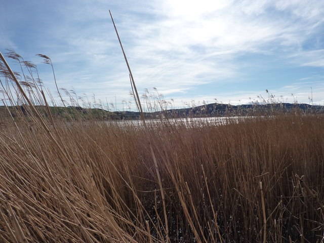
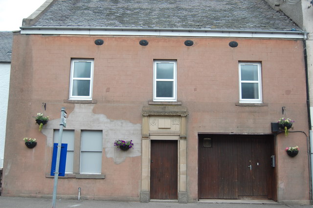
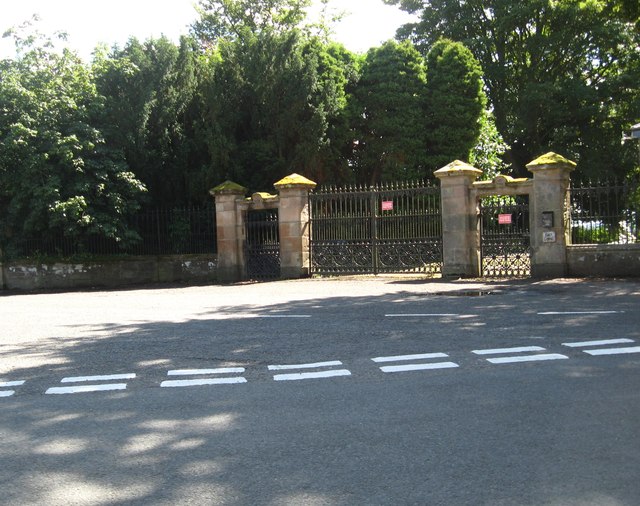
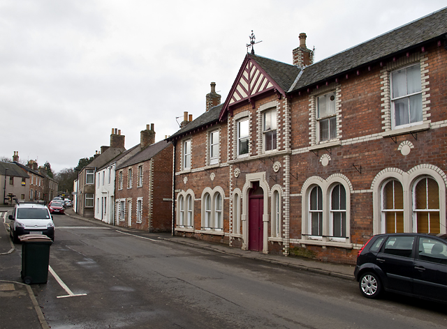
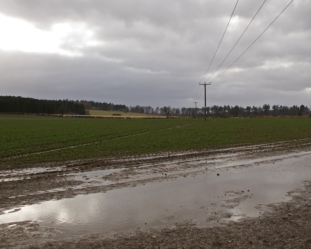
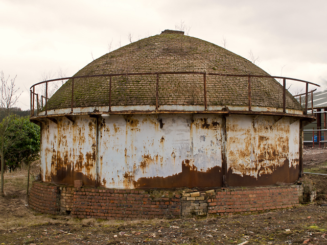
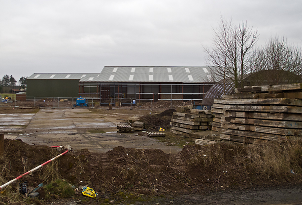
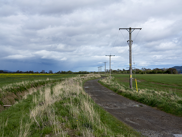
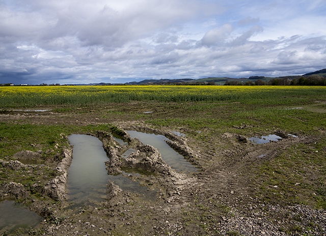
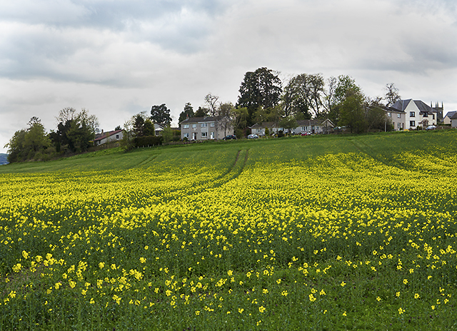
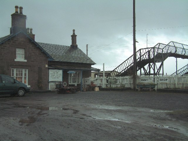
Den Clump Images

Images are sourced within 2km of 56.386285/-3.2178061 or Grid Reference NO2422. Thanks to Geograph Open Source API. All images are credited.

Reedbeds at Port Allen
Reedbeds at Port Allen The stone bridge crosses a small creek.
Reedbeds at Port Allen
The stone bridge crosses a small creek.
Fields at Port Allen
Mud banks in the Tay Estuary This mud bank is the Sure as Death Bank. It gave its name to the net fishing  station of that name (or was it the other way round ?) I am standing on the end of an old sewage pipe encased in stones and concrete, marked on the map as "breakwater", having struggled through several hundred yards of a jungle of 8 foot high reeds.

From Fife place name data <span class="nowrap"><a title="http://fife-placenames.glasgow.ac.uk/placename/?id=2818" rel="nofollow ugc noopener" href="http://fife-placenames.glasgow.ac.uk/placename/?id=2818">Link</a><img style="margin-left:2px;" alt="External link" title="External link - shift click to open in new window" src="https://s1.geograph.org.uk/img/external.png" width="10" height="10"/></span> : "While it might be reasonable to suppose that this ominously named sand-bank in the Tay posed a deadly danger to shipping, the explanation given in OS Name Book (39, 4) is humorous and benign: ‘ A small sand bank visible at low water; and is insulated. It is so called from the fisherman who first fished on it having asserted that he caught fish on it; and then confirmed it by the common phrase “Sure as death, I have.”’"
Mud banks in the Tay Estuary
This mud bank is the Sure as Death Bank. It gave its name to the net fishing station of that name (or was it the other way round ?) I am standing on the end of an old sewage pipe encased in stones and concrete, marked on the map as "breakwater", having struggled through several hundred yards of a jungle of 8 foot high reeds. From Fife place name data LinkExternal link : "While it might be reasonable to suppose that this ominously named sand-bank in the Tay posed a deadly danger to shipping, the explanation given in OS Name Book (39, 4) is humorous and benign: ‘ A small sand bank visible at low water; and is insulated. It is so called from the fisherman who first fished on it having asserted that he caught fish on it; and then confirmed it by the common phrase “Sure as death, I have.”’"
Getting to the end of the sewage pipe marked "breakwater" on the map Tay estuary coming into sight.
Getting to the end of the sewage pipe marked "breakwater" on the map
Tay estuary coming into sight.
Reed beds and mud banks in the Tay Estuary
Reed beds and mudbanks in the Tay Estuary A supplemental image taken when standing on the stone and earth embankment which would have formed the "harbour" of Port Allen. The reeds are last year's growth partly flattened by the Winter, and the mudbanks are showing up well as it is a particularly low tide.
Reed beds and mudbanks in the Tay Estuary
A supplemental image taken when standing on the stone and earth embankment which would have formed the "harbour" of Port Allen. The reeds are last year's growth partly flattened by the Winter, and the mudbanks are showing up well as it is a particularly low tide.
In the reed beds of the Tay I'm standing on the matted remains of some of last year's reeds ( holding me above water ) with my camera held above my head, to give you as best a view of the Tay mudbanks as I can from that position.
In the reed beds of the Tay
I'm standing on the matted remains of some of last year's reeds ( holding me above water ) with my camera held above my head, to give you as best a view of the Tay mudbanks as I can from that position.
The reed beds at eye level
Masonic Lodge, Errol Lodge The Carse of Gowrie No.871, Errol, Perthshire, Scotland.
Masonic Lodge, Errol
Lodge The Carse of Gowrie No.871, Errol, Perthshire, Scotland.
Entrance gates to Errol Park At Errol in Perthshire
Entrance gates to Errol Park
At Errol in Perthshire
High Street, Errol The High Street in Errol, with a number of buildings constructed of brick - a brickworks once operated nearby at Inchcoonins - see Geograph image <a href="https://www.geograph.org.uk/photo/143633">NO2323 : Brick and Tile Works</a>.
High Street, Errol
The High Street in Errol, with a number of buildings constructed of brick - a brickworks once operated nearby at Inchcoonins - see Geograph image NO2323 : Brick and Tile Works.
Farmland near Inchcoonans Farmland near Inchcoonans, waterlogged in places after several days of wet weather.
Farmland near Inchcoonans
Farmland near Inchcoonans, waterlogged in places after several days of wet weather.
Beehive kiln, Inchcoonans One of two beehive kilns at the disused brickworks in Inchcoonans - now listed buildings(*). These were capable of firing up to 100,000 bricks simultaneously. A number of brickworks were situated in this area - an example of the relationship between geology and land use - local deposits of alluvial clay can be seen on the Geology of Britain viewer: <span class="nowrap"><a title="http://mapapps.bgs.ac.uk/geologyofbritain/home.html" rel="nofollow ugc noopener" href="http://mapapps.bgs.ac.uk/geologyofbritain/home.html">Link</a><img style="margin-left:2px;" alt="External link" title="External link - shift click to open in new window" src="https://s1.geograph.org.uk/img/external.png" width="10" height="10"/></span>

* Reference: British Listed Buildings; Inchcoonans Road, Errol Brick Company Brick Stacks and Kilns, Errol. <span class="nowrap"><a title="http://www.britishlistedbuildings.co.uk/sc-48180-inchcoonans-road-errol-brick-company-bric" rel="nofollow ugc noopener" href="http://www.britishlistedbuildings.co.uk/sc-48180-inchcoonans-road-errol-brick-company-bric">Link</a><img style="margin-left:2px;" alt="External link" title="External link - shift click to open in new window" src="https://s1.geograph.org.uk/img/external.png" width="10" height="10"/></span>
Beehive kiln, Inchcoonans
One of two beehive kilns at the disused brickworks in Inchcoonans - now listed buildings(*). These were capable of firing up to 100,000 bricks simultaneously. A number of brickworks were situated in this area - an example of the relationship between geology and land use - local deposits of alluvial clay can be seen on the Geology of Britain viewer: LinkExternal link * Reference: British Listed Buildings; Inchcoonans Road, Errol Brick Company Brick Stacks and Kilns, Errol. LinkExternal link
Inchcoonans brickworks site The former brickworks at Inchcoonans - with new building work in progress in March 2013.
Inchcoonans brickworks site
The former brickworks at Inchcoonans - with new building work in progress in March 2013.
Track near New Farm A track running through farmland towards the north bank of the River Tay - now part of a footpath around the village of Errol.
Track near New Farm
A track running through farmland towards the north bank of the River Tay - now part of a footpath around the village of Errol.
Agricultural land near New Farm Farmland north of the River Tay, with oilseed rape just coming into flower in May 2013.
Agricultural land near New Farm
Farmland north of the River Tay, with oilseed rape just coming into flower in May 2013.
View towards Errol Housing in the village of Errol, viewed over the fields of New Farm, with oilseed rape coming into flower.
View towards Errol
Housing in the village of Errol, viewed over the fields of New Farm, with oilseed rape coming into flower.
Show me another place!

Den Clump is located at Grid Ref: NO2422 (Lat: 56.386285, Lng: -3.2178061)

Unitary Authority: Perth and Kinross

Police Authority: Tayside

What 3 Words

///people.longingly.downturn. Near Errol, Perth & Kinross

Nearby Locations

Den Clump North Den Strip

Related Wikis

Errol, Perth and Kinross

Errol is a village in Perth and Kinross, Scotland about halfway between Dundee and Perth. It is one of the principal settlements of the Carse of Gowrie...

Errol railway station

Errol railway station served the village of Errol, Perth and Kinross, Scotland, from 1847 to 1985 on the Dundee and Perth Railway. == History == The station...

Megginch Castle

Megginch Castle is a 15th-century castle in Perth and Kinross, in central Scotland. It was the family home of Cherry, 16th Baroness Strange. It is now...

RAF Errol

Royal Air Force Errol or more simply RAF Errol is a former Royal Air Force station located near the village of Errol in Perth & Kinross, Scotland, on the...

Nearby Amenities

Located within 500m of 56.386285,-3.2178061
Errol Park
Is In: Perthshire
Place: locality
Lat/Long: 56.388619/-3.2235677
Bench
Lat/Long: 56.3899792/-3.2152022
Tourism: viewpoint
Lat/Long: 56.3900089/-3.215524
Bus Stop
Errol Park Estate
Bus: yes
Public Transport: platform
Lat/Long: 56.3872957/-3.2240648
Power: pole
Lat/Long: 56.3869225/-3.2251208
Power: pole
Lat/Long: 56.3838555/-3.2115112
The data included in this document is from www.openstreetmap.org. The data is made available under ODbL.

Have you been to Den Clump?

Leave your review of Den Clump below (or comments, questions and feedback).