Fiddle Wood
Wood, Forest in Peeblesshire
Scotland
Fiddle Wood
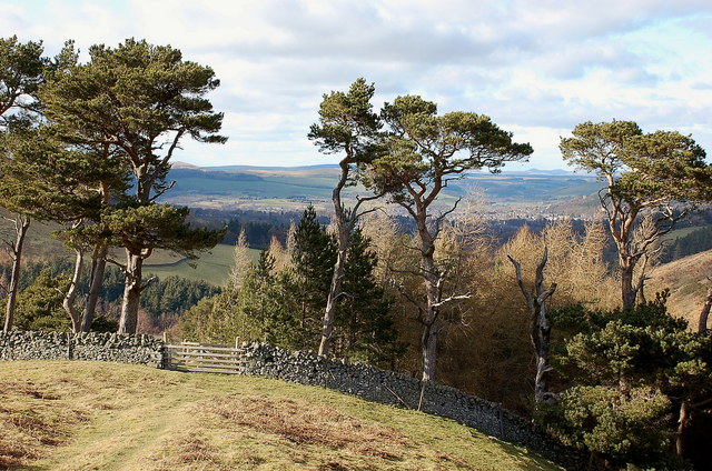
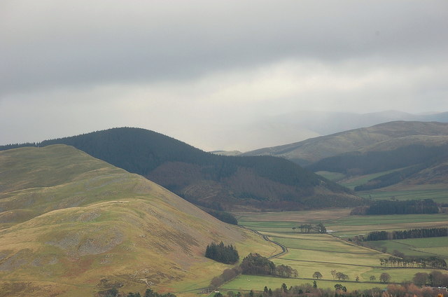
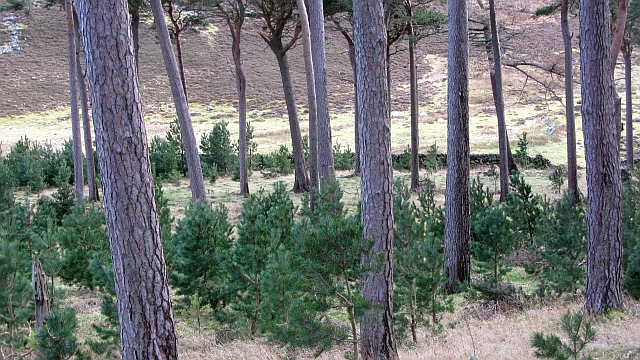
Fiddle Wood is a picturesque forest located in Peeblesshire, Scotland. Covering an area of approximately 200 acres, this enchanting woodland is nestled between the charming villages of Eddleston and Leadburn. The forest is easily accessible, located just off the A703 road, making it a popular destination for nature lovers and outdoor enthusiasts.
Fiddle Wood offers a diverse range of vegetation, with a mixture of broadleaf trees, conifers, and native Scottish fauna. The wood is particularly known for its majestic oak and beech trees, which create a stunning canopy of greenery. The forest floor is adorned with a rich carpet of bluebells and wildflowers during the spring season, adding to its ethereal beauty.
Walking trails meander through Fiddle Wood, providing visitors with the opportunity to explore its natural wonders. The paths are well-maintained and suitable for all ages and abilities, making it an ideal location for family outings or leisurely strolls. Along the way, visitors may encounter a variety of wildlife, including red squirrels, deer, and a diverse array of bird species.
The tranquil atmosphere of Fiddle Wood makes it a perfect spot for relaxation and contemplation. Many visitors find solace in the peaceful surroundings, away from the hustle and bustle of everyday life. The forest also offers numerous picnic areas, where visitors can enjoy a packed lunch amidst the natural beauty that surrounds them.
In conclusion, Fiddle Wood in Peeblesshire is a captivating forest that offers a serene escape into nature. With its scenic trails, diverse vegetation, and peaceful ambiance, it is a must-visit destination for anyone seeking tranquility and a connection with the natural world.
If you have any feedback on the listing, please let us know in the comments section below.
Fiddle Wood Images
Images are sourced within 2km of 55.615472/-3.1947018 or Grid Reference NT2436. Thanks to Geograph Open Source API. All images are credited.


Fiddle Wood is located at Grid Ref: NT2436 (Lat: 55.615472, Lng: -3.1947018)
Unitary Authority: The Scottish Borders
Police Authority: The Lothians and Scottish Borders
What 3 Words
///without.explain.perfectly. Near Peebles, Scottish Borders
Nearby Locations
Related Wikis

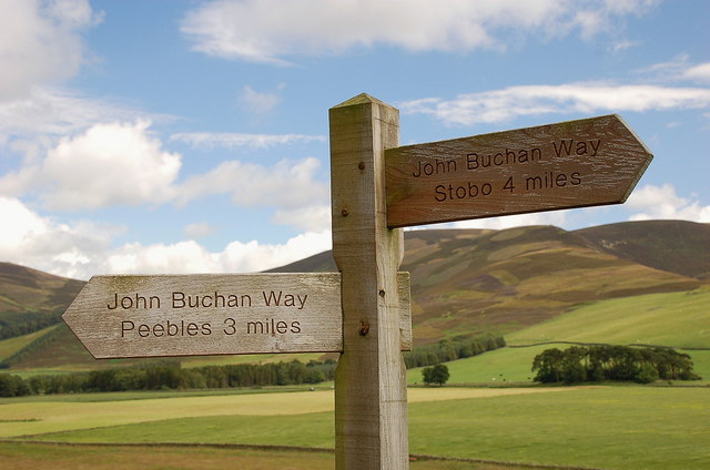
John Buchan Way
The John Buchan Way is a walking route from Peebles to Broughton in the Scottish Borders, a distance of approximately 22 km (13 miles). The route is waymarked...

Manor Water
Manor Water is a river in the parish of Manor, Peeblesshire in the Scottish Borders. It rises in the Ettrick Forest and flows down through the Maynor valley...

Manor, Scottish Borders
Manor is a parish in Peeblesshire in the Scottish Borders, whose church lies on the west bank of Manor Water 3 miles south-west of Peebles.The parish...

Peebles High School, Peeblesshire
Peebles High School is a state run comprehensive school for girls and boys aged 12–18 located in Peebles in the Scottish Borders. It was originally named...
Nearby Amenities
Located within 500m of 55.615472,-3.1947018Have you been to Fiddle Wood?
Leave your review of Fiddle Wood below (or comments, questions and feedback).