Catmere End

Settlement in Essex Uttlesford

England

Catmere End

St. Mary's church, Strethall, Essex Almost entirely obscured by trees, Strethall church stands by a farm in a remote part of north Essex. The church dates back to the 11th century and has a Saxon nave with a fine Saxon chancel arch. The chancel and tower are 15th century.
St. Mary's church, Strethall, Essex Credit: Robert Edwards

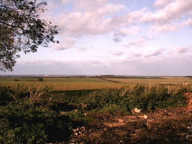
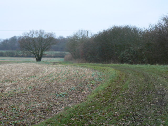
Catmere End is a small village located in the county of Essex, England. Situated approximately 7 miles southwest of the market town of Saffron Walden, it falls within the district of Uttlesford. The village is nestled amidst picturesque countryside, surrounded by fields and farmland.

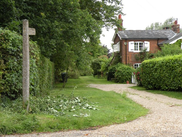
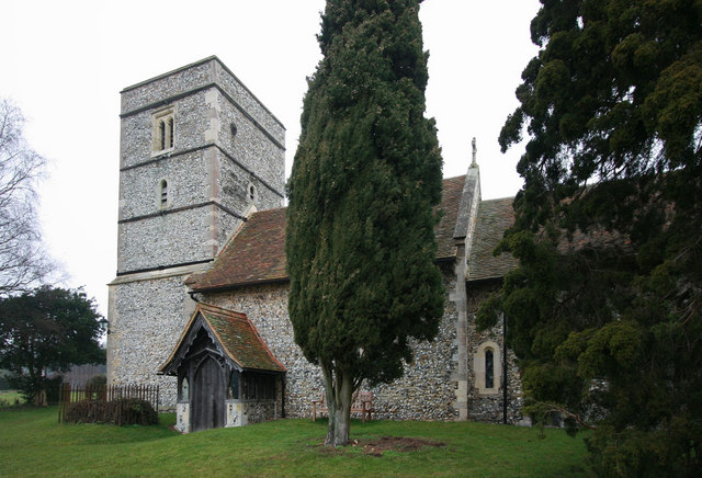
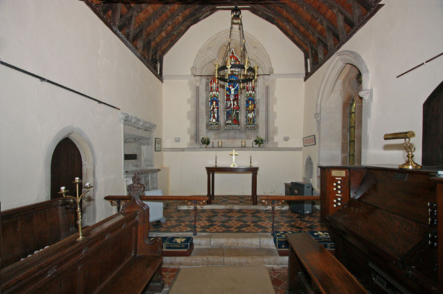
With a population of around 200 residents, Catmere End maintains a tight-knit and close community atmosphere. The village is characterized by its charming and traditional English cottages, many of which date back several centuries, giving it a quaint and timeless feel.

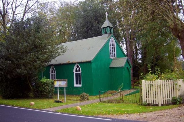
Despite its small size, Catmere End offers a range of amenities to its residents. These include a village hall, where various community events and gatherings take place, as well as a small primary school that serves the local children. Additionally, there is a local pub, providing a social hub for residents and visitors alike.

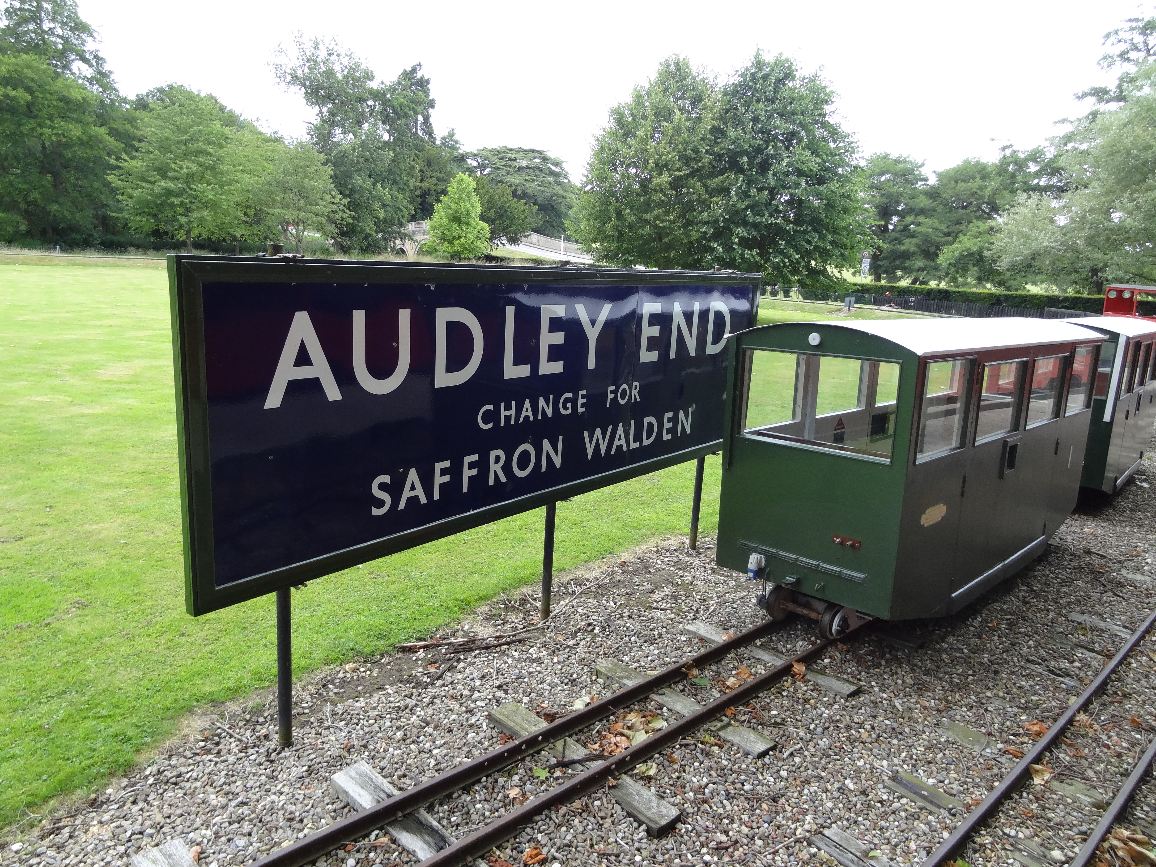
Catmere End benefits from its rural location, offering residents the opportunity to enjoy the tranquility of the surrounding countryside. The village is surrounded by scenic walking and cycling trails, allowing outdoor enthusiasts to explore the natural beauty of the area. Furthermore, the nearby Audley End House and Gardens, a stately home dating back to the 17th century, provides a popular attraction for visitors to the region.

In conclusion, Catmere End is a charming and idyllic village in the heart of Essex. With its picturesque setting, close-knit community, and access to beautiful countryside, it offers a peaceful and rural lifestyle for its residents.

If you have any feedback on the listing, please let us know in the comments section below.
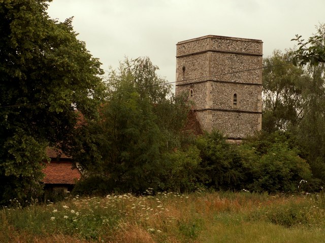
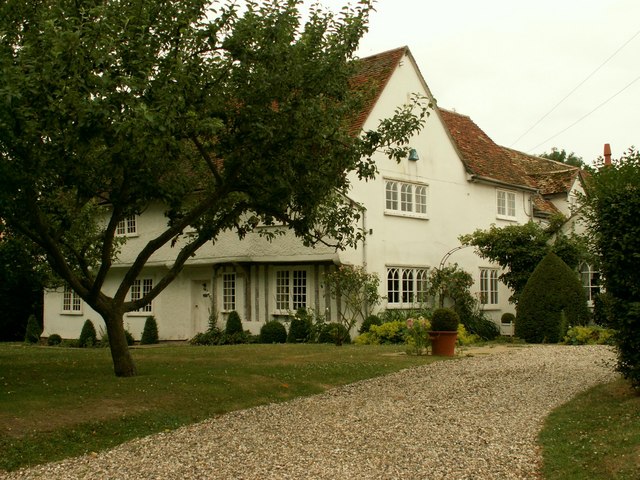
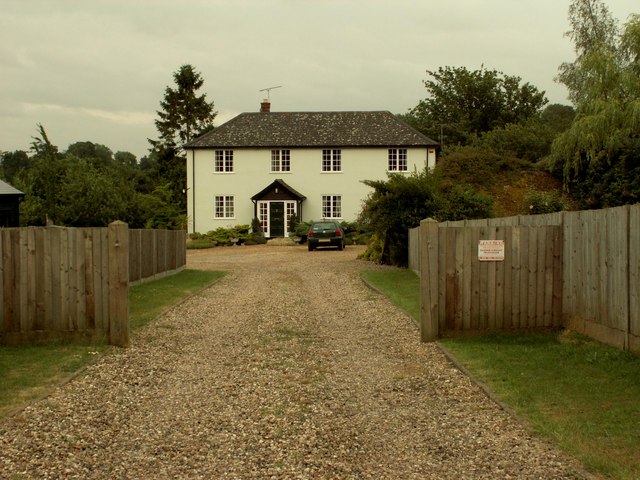
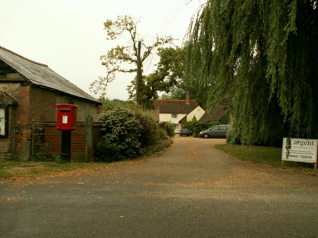
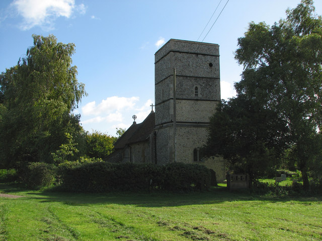
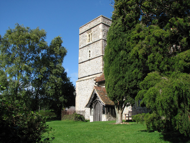
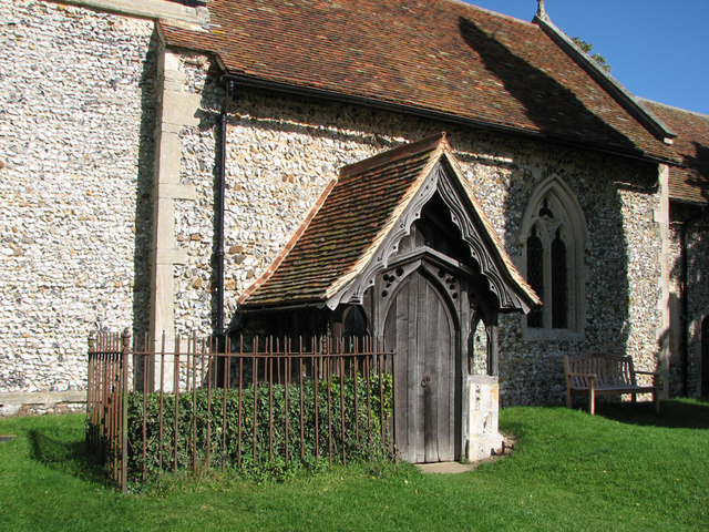
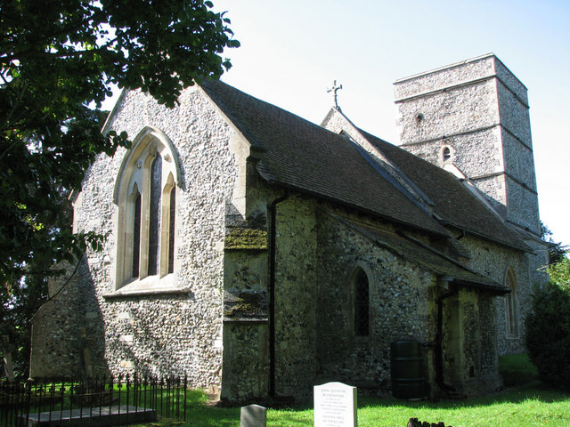
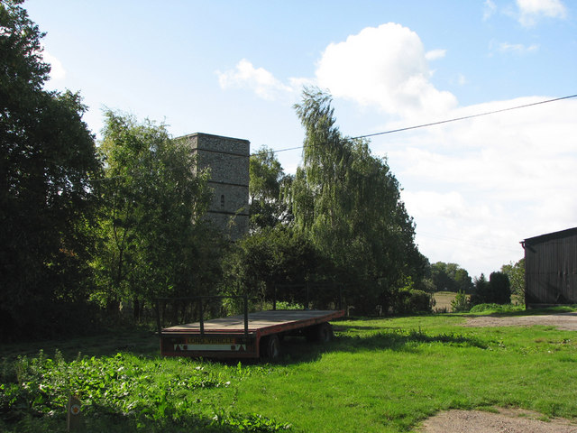
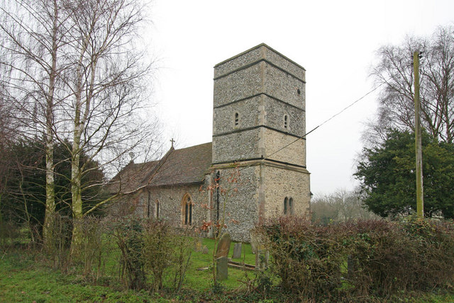
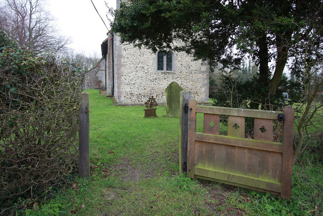
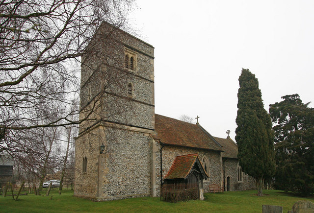
Catmere End Images

Images are sourced within 2km of 52.033785/0.170379 or Grid Reference TL4839. Thanks to Geograph Open Source API. All images are credited.

St. Mary's church, Strethall, Essex Almost entirely obscured by trees, Strethall church stands by a farm in a remote part of north Essex. The church dates back to the 11th century and has a Saxon nave with a fine Saxon chancel arch. The chancel and tower are 15th century.
St. Mary's church, Strethall, Essex
Almost entirely obscured by trees, Strethall church stands by a farm in a remote part of north Essex. The church dates back to the 11th century and has a Saxon nave with a fine Saxon chancel arch. The chancel and tower are 15th century.
Old house at Catmere End, Strethall, Essex
Seamans Farm, Littlebury Green, Essex
Green Farm, Littlebury Green, Essex
North Essex countryside near Elmdon An autumn view from the Icknield Way long-distance path.
North Essex countryside near Elmdon
An autumn view from the Icknield Way long-distance path.
Some path near Strethall Picture of a path and tree in top NE corner of the grid square. Best picture of the ones I took, as this square is just fields, and landscape shots were pretty hazy due to the clouds and it being quite a dark day.
Some path near Strethall
Picture of a path and tree in top NE corner of the grid square. Best picture of the ones I took, as this square is just fields, and landscape shots were pretty hazy due to the clouds and it being quite a dark day.
St Peter's, Littlebury Green St Peter's was set up as a chapel of ease to save residents the trek to the parish church in Littlebury.  It was assembled from a kit which came complete with stained glass windows.
St Peter's, Littlebury Green
St Peter's was set up as a chapel of ease to save residents the trek to the parish church in Littlebury. It was assembled from a kit which came complete with stained glass windows.
Public byway to Free Wood and beyond
Strethall: St Mary Parts of Strethall church date from the 11th century. It stands at the end of a lane high in the chalk hills of North Essex, just south of the Cambridgeshire border. For more about Strethall, see <span class="nowrap"><a title="http://www.recordinguttlesfordhistory.org.uk/strethall/strethallbriefhistory.html" rel="nofollow ugc noopener" href="http://www.recordinguttlesfordhistory.org.uk/strethall/strethallbriefhistory.html">Link</a><img style="margin-left:2px;" alt="External link" title="External link - shift click to open in new window" src="https://s1.geograph.org.uk/img/external.png" width="10" height="10"/></span> .
Strethall: St Mary
Parts of Strethall church date from the 11th century. It stands at the end of a lane high in the chalk hills of North Essex, just south of the Cambridgeshire border. For more about Strethall, see LinkExternal link .
Strethall: St Mary's church tower Parts of Strethall church date from the 11th century. It stands at the end of a lane high in the chalk hills of North Essex, just south of the Cambridgeshire border. The churchyard is small and there are lots of trees, so it's not easy to get a picture of the whole building. For more about Strethall, see <span class="nowrap"><a title="http://www.recordinguttlesfordhistory.org.uk/strethall/strethallbriefhistory.html" rel="nofollow ugc noopener" href="http://www.recordinguttlesfordhistory.org.uk/strethall/strethallbriefhistory.html">Link</a><img style="margin-left:2px;" alt="External link" title="External link - shift click to open in new window" src="https://s1.geograph.org.uk/img/external.png" width="10" height="10"/></span> .
Strethall: St Mary's church tower
Parts of Strethall church date from the 11th century. It stands at the end of a lane high in the chalk hills of North Essex, just south of the Cambridgeshire border. The churchyard is small and there are lots of trees, so it's not easy to get a picture of the whole building. For more about Strethall, see LinkExternal link .
Strethall: St Mary - the porch Parts of Strethall church date from the 11th century. It stands at the end of a lane high in the chalk hills of North Essex, just south of the Cambridgeshire border. For more about Strethall, see <span class="nowrap"><a title="http://www.recordinguttlesfordhistory.org.uk/strethall/strethallbriefhistory.html" rel="nofollow ugc noopener" href="http://www.recordinguttlesfordhistory.org.uk/strethall/strethallbriefhistory.html">Link</a><img style="margin-left:2px;" alt="External link" title="External link - shift click to open in new window" src="https://s1.geograph.org.uk/img/external.png" width="10" height="10"/></span> .
Strethall: St Mary - the porch
Parts of Strethall church date from the 11th century. It stands at the end of a lane high in the chalk hills of North Essex, just south of the Cambridgeshire border. For more about Strethall, see LinkExternal link .
Strethall: St Mary Parts of Strethall church date from the 11th century. It stands at the end of a lane high in the chalk hills of North Essex, just south of the Cambridgeshire border. The churchyard is small and there are lots of trees, so it is difficult to get a picture of the whole building, especially from the shadows on a bright September morning. For more about Strethall, see <span class="nowrap"><a title="http://www.recordinguttlesfordhistory.org.uk/strethall/strethallbriefhistory.html" rel="nofollow ugc noopener" href="http://www.recordinguttlesfordhistory.org.uk/strethall/strethallbriefhistory.html">Link</a><img style="margin-left:2px;" alt="External link" title="External link - shift click to open in new window" src="https://s1.geograph.org.uk/img/external.png" width="10" height="10"/></span> .
Strethall: St Mary
Parts of Strethall church date from the 11th century. It stands at the end of a lane high in the chalk hills of North Essex, just south of the Cambridgeshire border. The churchyard is small and there are lots of trees, so it is difficult to get a picture of the whole building, especially from the shadows on a bright September morning. For more about Strethall, see LinkExternal link .
Strethall: St Mary Parts of Strethall church date from the 11th century. It stands amid trees next to a farm at the end of a lane high in the chalk hills of North Essex, just south of the Cambridgeshire border. For more about Strethall, see <span class="nowrap"><a title="http://www.recordinguttlesfordhistory.org.uk/strethall/strethallbriefhistory.html" rel="nofollow ugc noopener" href="http://www.recordinguttlesfordhistory.org.uk/strethall/strethallbriefhistory.html">Link</a><img style="margin-left:2px;" alt="External link" title="External link - shift click to open in new window" src="https://s1.geograph.org.uk/img/external.png" width="10" height="10"/></span> .
Strethall: St Mary
Parts of Strethall church date from the 11th century. It stands amid trees next to a farm at the end of a lane high in the chalk hills of North Essex, just south of the Cambridgeshire border. For more about Strethall, see LinkExternal link .
St Mary, Strethall, Essex
St Mary, Strethall, Essex - Chancel
Show me another place!

Catmere End is located at Grid Ref: TL4839 (Lat: 52.033785, Lng: 0.170379)

Administrative County: Essex

District: Uttlesford

Police Authority: Essex

What 3 Words

///crunch.inflating.clay. Near Great Chesterford, Essex

Related Wikis

Nearby Amenities

Located within 500m of 52.033785,0.170379
Strethall
Place: village
Lat/Long: 52.0373124/0.1660453
Nunn's Farm
Landuse: farm
Note Retag: CS #48756035
Lat/Long: 52.0332861/0.1721622
Post Box
Brand: Royal Mail
Brand Wikidata: Q638098
Brand Wikipedia: en:Royal Mail
Collection Times: Mo-Fr 16:00; Sa 10:45
Operator: Royal Mail
Operator Wikidata: Q638098
Post Box Type: lamp
Ref: CB11 61
Royal Cypher: EIIR
Royal Cypher Wikidata: Q33102113
Source: survey
Lat/Long: 52.033567/0.1725763
Catmere End
Is In: Essex,England,UK
Place: hamlet
Source Name: dictaphone
Lat/Long: 52.032843/0.1761629
The data included in this document is from www.openstreetmap.org. The data is made available under ODbL.

Have you been to Catmere End?

Leave your review of Catmere End below (or comments, questions and feedback).