Catlowdy
Settlement in Cumberland Carlisle
England
Catlowdy
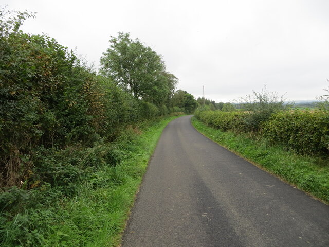
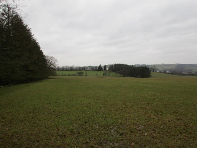
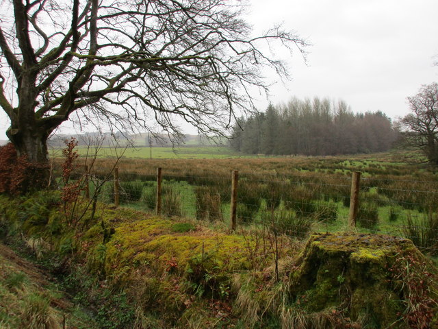
Catlowdy is a small village located in the county of Cumberland, in the northwestern part of England. Situated in the picturesque countryside, it lies approximately 8 miles southwest of the market town of Brampton and 12 miles northwest of the historic city of Carlisle. The village is nestled in a rural landscape characterized by rolling hills, open fields, and charming country lanes.
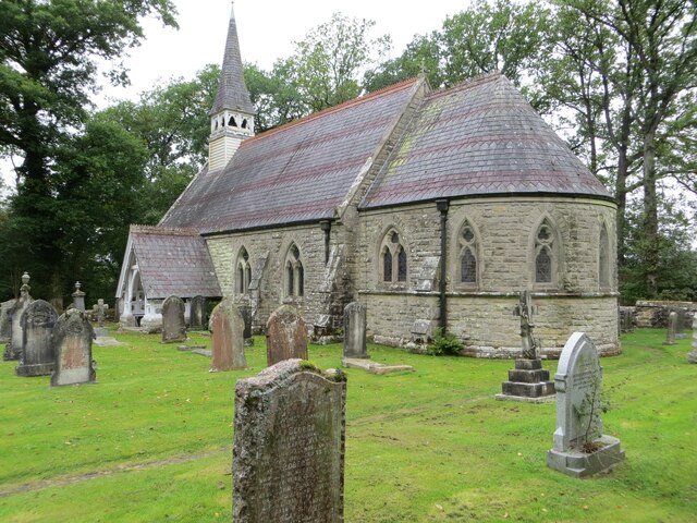
With a population of around 100 residents, Catlowdy is a close-knit community that exudes a peaceful and tranquil atmosphere. The village is primarily residential, featuring a collection of traditional stone houses, some of which date back several centuries. These properties add to the village's quaint and timeless charm.
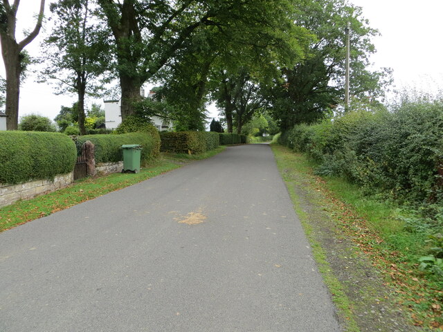
Despite its small size, Catlowdy benefits from its proximity to larger towns and cities. The village is well-connected by road, with the A6071 passing through, providing easy access to neighboring areas. The nearby towns offer a range of amenities, including shops, schools, and healthcare facilities.
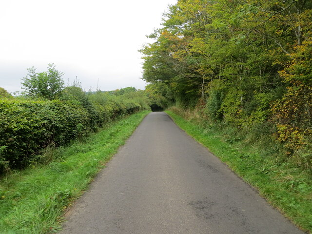
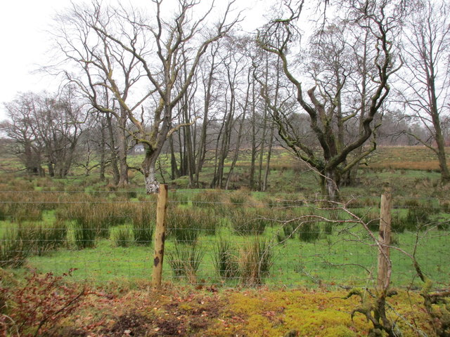
Surrounded by natural beauty, Catlowdy is a haven for outdoor enthusiasts. The surrounding countryside offers opportunities for walking, hiking, and cycling, with various pathways and trails to explore. The village is also within close reach of the North Pennines Area of Outstanding Natural Beauty, providing stunning landscapes and diverse wildlife.
In summary, Catlowdy is a charming and peaceful village in the heart of Cumberland's countryside. With its idyllic setting, close community, and access to nearby amenities, it offers a desirable lifestyle for those seeking a tranquil rural retreat.
If you have any feedback on the listing, please let us know in the comments section below.
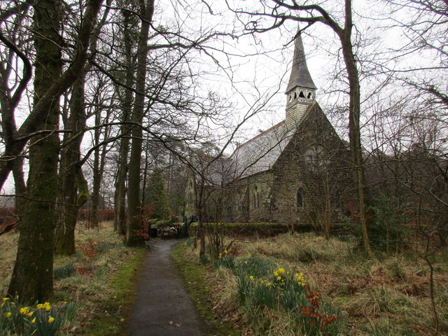
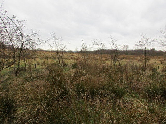
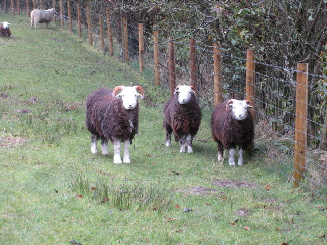
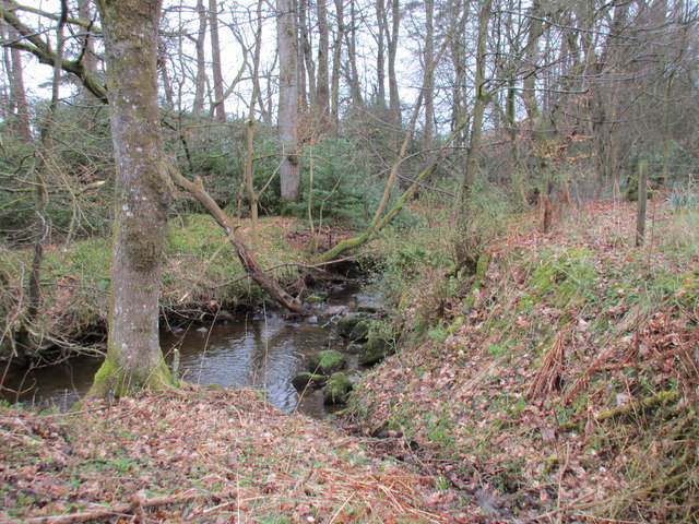
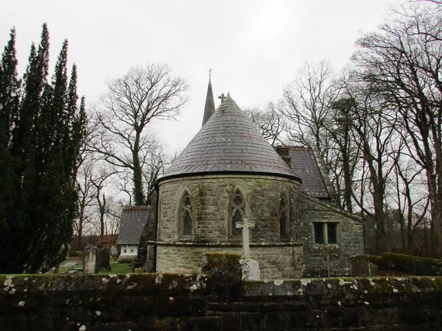
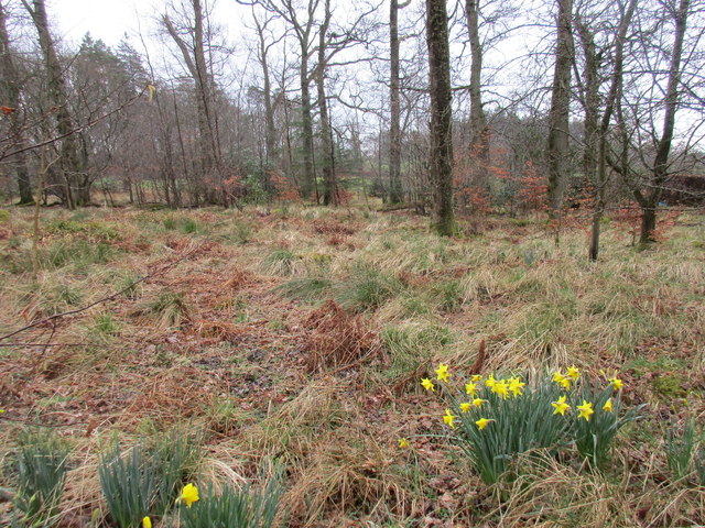
Catlowdy Images
Images are sourced within 2km of 55.084253/-2.846377 or Grid Reference NY4676. Thanks to Geograph Open Source API. All images are credited.


Catlowdy is located at Grid Ref: NY4676 (Lat: 55.084253, Lng: -2.846377)
Administrative County: Cumbria
District: Carlisle
Police Authority: Cumbria
What 3 Words
///quilt.quilt.restore. Near Longtown, Cumbria
Nearby Locations
Related Wikis

Catlowdy
Catlowdy is a hamlet in Cumbria, England. It contains the Bessiestown Country Guest House. == References ==

Nicholforest
Nicholforest is a civil parish in Cumbria, England bordering Scotland. The population of the civil parish taken at the 2011 census was 372. The parish...
Nook Pasture railway station
Nook Pasture railway station served the village of Canonbie, Dumfriesshire, Scotland, from 1864 to 1873 on the Waverley Line. The station was located...
Alston Formation
The Alston Formation is a geologic formation in England. It preserves fossils dating back to the Viséan to Serpukhovian (Asbian, Brigantian and Pendleian...
Rowanburn
Rowanburn is a hamlet in Eskdale, Dumfries and Galloway, Scotland. Located near Canonbie, it sits around 5 miles south-east of Langholm and about a mile...
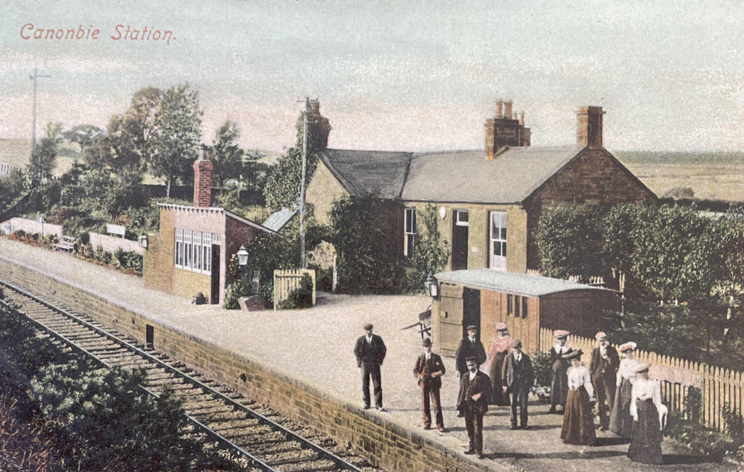
Canonbie railway station
Canonbie railway station served the village of Canonbie, Dumfries and Galloway, Scotland from 1862 to 1967 on the Border Union Railway. == History == The...

Solport
Solport is a civil parish in City of Carlisle district, Cumbria, England. In the 2011 UK Census it had a population of 166.It shares a parish council with...
Riddings Junction railway station
Riddings Junction railway station was a railway station in Cumbria, England, from 1862 to 1967 on the Border Union Railway. == History == The station opened...
Nearby Amenities
Located within 500m of 55.084253,-2.846377Have you been to Catlowdy?
Leave your review of Catlowdy below (or comments, questions and feedback).