Catmore

Settlement in Berkshire

England

Catmore

St Margaret's Church, Catmore
St Margaret's Church, Catmore Credit: AJD

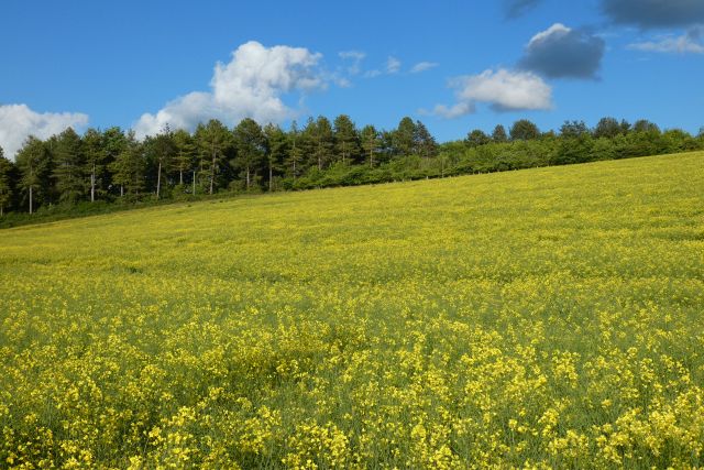
Catmore is a small village located in the county of Berkshire, England. It is situated approximately 5 miles northeast of the town of Newbury. Nestled in the picturesque Berkshire Downs, Catmore is surrounded by rolling hills and beautiful countryside, making it an idyllic location for those seeking a peaceful and rural setting.

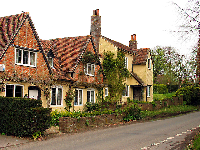
The village itself is characterized by its quaint and traditional charm. It consists of a small cluster of houses and cottages, many of which are constructed from the local golden limestone. The village is centered around a small green, providing a focal point for community activities and events.

Despite its small size, Catmore has a strong sense of community spirit. The village boasts a range of amenities, including a village hall and a local pub, which serves as a social hub for residents and visitors alike. The pub offers a warm and welcoming atmosphere, serving traditional English cuisine and a selection of locally brewed ales.

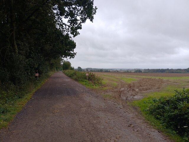
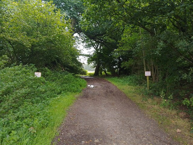
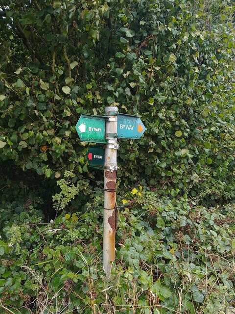
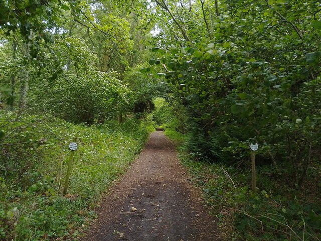
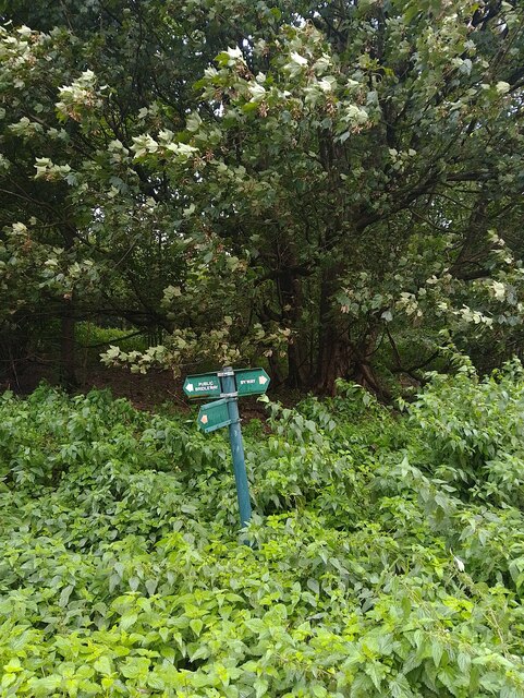
For outdoor enthusiasts, Catmore offers ample opportunities for walking, hiking, and exploring the surrounding countryside. The nearby Berkshire Downs provide breathtaking views and a variety of walking trails, catering to all levels of fitness and experience.

Overall, Catmore is a charming village in the heart of rural Berkshire, offering a peaceful and picturesque retreat for residents and visitors seeking a slower pace of life.

If you have any feedback on the listing, please let us know in the comments section below.

Catmore Images

Images are sourced within 2km of 51.518663/-1.348643 or Grid Reference SU4580. Thanks to Geograph Open Source API. All images are credited.

St Margaret's Church, Catmore
Byway and farmland, Catmore
Farmland, Catmore
Farmland, Catmore
Byway and farmland, Brightwalton
Old Street Row byway A byway and unadopted road between Hailey Lane and Old Street (a byway). The byway curves through the woodland of Old Street Row rather than following Old Street at this point, though ahead it rejoins Old Street.
Old Street Row byway
A byway and unadopted road between Hailey Lane and Old Street (a byway). The byway curves through the woodland of Old Street Row rather than following Old Street at this point, though ahead it rejoins Old Street.
Old Street Bizarrely, this stretch of Old Street / Old Street Lane is private property. The byway which follows the rest of the track curves off to the left through the woodland (Old Street Row).
Old Street
Bizarrely, this stretch of Old Street / Old Street Lane is private property. The byway which follows the rest of the track curves off to the left through the woodland (Old Street Row).
Old Street Row byway A byway and unadopted road between Hailey Lane and Old Street (a byway). The byway curves through the woodland of Old Street Row rather than following Old Street at this point.
Old Street Row byway
A byway and unadopted road between Hailey Lane and Old Street (a byway). The byway curves through the woodland of Old Street Row rather than following Old Street at this point.
Catmore farmland A field of farmland to the east of Catmore.
Catmore farmland
A field of farmland to the east of Catmore.
Old Street A byway between Catmore Road in Catmore and an unnamed byway through Old Street Row.
Old Street
A byway between Catmore Road in Catmore and an unnamed byway through Old Street Row.
Track to Woolver's Borders The signs helpfully point out there is no right of way here.
Track to Woolver's Borders
The signs helpfully point out there is no right of way here.
Old Street A byway between Catmore Road in Catmore and an unnamed byway through Old Street Row.
Old Street
A byway between Catmore Road in Catmore and an unnamed byway through Old Street Row.
Old Street A byway between Catmore Road in Catmore and an unnamed byway through Old Street Row. A byway heads right (north east) from here, but reaches a dead end after High Robins, before Woolver's Borders.
Old Street
A byway between Catmore Road in Catmore and an unnamed byway through Old Street Row. A byway heads right (north east) from here, but reaches a dead end after High Robins, before Woolver's Borders.
Old Street byway signpost Showing the route of Old Street and a byway heading north east.
Old Street byway signpost
Showing the route of Old Street and a byway heading north east.
Byway through High Robins/Knapp's Copse A byway passing between High Robins and Knapp's Copse, both small woodlands. Two signs request for dogs to be kept on leads. The byway is a dead end after High Robins for vehicular traffic.
Byway through High Robins/Knapp's Copse
A byway passing between High Robins and Knapp's Copse, both small woodlands. Two signs request for dogs to be kept on leads. The byway is a dead end after High Robins for vehicular traffic.
Catmore farmland Growing at the edge of a field.
Catmore farmland
Growing at the edge of a field.
Byway towards bridleway The byway reaches an abrupt dead end ahead, as it ends at the start of the field and becomes a bridleway that leads to Catmore Road.
Byway towards bridleway
The byway reaches an abrupt dead end ahead, as it ends at the start of the field and becomes a bridleway that leads to Catmore Road.
Old Street byway and bridleway signpost A very short signpost showing the route of a byway and a bridleway: the byway is Old Street. The bridleway sign should read byway, as the track is a byway for a very small distance, and then becomes a bridleway. Logic prevails, however, and the sign is sensible.
Old Street byway and bridleway signpost
A very short signpost showing the route of a byway and a bridleway: the byway is Old Street. The bridleway sign should read byway, as the track is a byway for a very small distance, and then becomes a bridleway. Logic prevails, however, and the sign is sensible.
Old Street A byway between Catmore Road in Catmore and an unnamed byway through Old Street Row.
Old Street
A byway between Catmore Road in Catmore and an unnamed byway through Old Street Row.
Show me another place!

Catmore is located at Grid Ref: SU4580 (Lat: 51.518663, Lng: -1.348643)

Unitary Authority: West Berkshire

Police Authority: Thames Valley

What 3 Words

///skirt.poorly.threading. Near Farnborough, Berkshire

Related Wikis

Catmore

Catmore is a civil parish and village in West Berkshire about 5+1⁄2 miles (9 km) southeast of Wantage. Catmore is in the Berkshire Downs and the centre...

Stanmore, Berkshire

Stanmore is a hamlet in Berkshire, England. In the 2011 Census it was included in the civil parish of Beedon. It is situated west of the A34, 7 miles north...

Brightwalton

Brightwalton is a village and civil parish in the Berkshire Downs centred 7 miles (11 km) NNW of Newbury in West Berkshire. == Parish church == The Church...

Farnborough, Berkshire

Farnborough is a village and civil parish in West Berkshire, about 4 miles (6.4 km) south of Wantage. The village is 720 feet (220 m) above sea level on...

Peasemore

Peasemore is a village and civil parish in the English ceremonial and historic county of Berkshire in the West Berkshire unitary authority area, west of...

West Ilsley

West Ilsley is a village and civil parish in Berkshire, England. The population of the village at the 2011 Census was 332. == Location and amenities... ==

Brightwalton Green

Brightwalton Green is a hamlet in the civil parish of Brightwalton in the county of Berkshire, England. The settlement lies near to the A338 road, and...

Leckhampstead War Memorial

Leckhampstead War Memorial is a Grade II listed war memorial in Leckhampstead, Berkshire, which commemorates 89 local men who served in the First World...

Nearby Amenities

Located within 500m of 51.518663,-1.348643
Catmore
Place: hamlet
Source: NPE
Wikidata: Q1920160
Lat/Long: 51.5189746/-1.3479603
Power: pole
Source: Bing
Lat/Long: 51.5179965/-1.3472546
Power: pole
Source: Bing
Lat/Long: 51.5197126/-1.3448366
Power: pole
Source: Bing
Lat/Long: 51.5153594/-1.3515756
Power: pole
Source: Bing
Lat/Long: 51.520989/-1.3434431
Power: pole
Source: Bing
Lat/Long: 51.5164058/-1.3498456
Power: pole
Source: Bing
Lat/Long: 51.5158852/-1.3507092
Power: pole
Source: Bing
Lat/Long: 51.5174708/-1.348078
Power: pole
Source: Bing
Lat/Long: 51.5169483/-1.348947
Power: pole
Lat/Long: 51.5203883/-1.3441046
Power: pole
Lat/Long: 51.5185233/-1.3463944
Power: pole
Lat/Long: 51.5190605/-1.3455282
The data included in this document is from www.openstreetmap.org. The data is made available under ODbL.

Have you been to Catmore?

Leave your review of Catmore below (or comments, questions and feedback).