New Carden Plantation

Wood, Forest in Fife

Scotland

New Carden Plantation

Remains of Carden Den Tower The tower was erected between 1432 and 1532 but has long since disappeared. For more information, see <span class="nowrap"><a title="https://canmore.org.uk/site/52960/carden-tower" rel="nofollow ugc noopener" href="https://canmore.org.uk/site/52960/carden-tower">Link</a><img style="margin-left:2px;" alt="External link" title="External link - shift click to open in new window" src="https://s1.geograph.org.uk/img/external.png" width="10" height="10"/></span>.
Remains of Carden Den Tower Credit: Becky Williamson

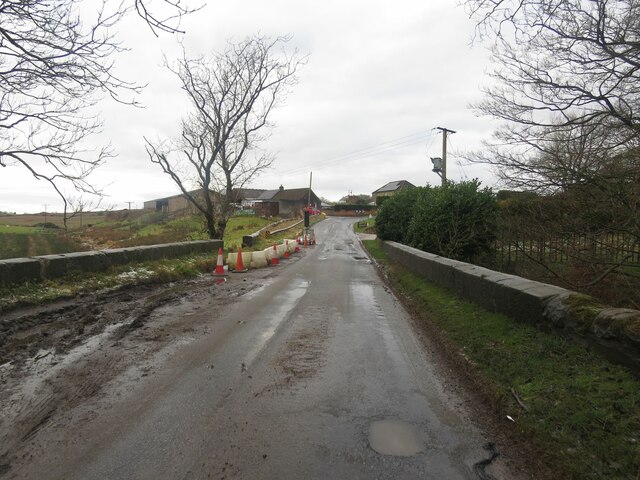
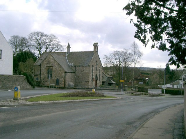
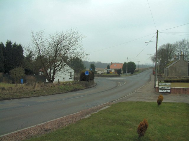
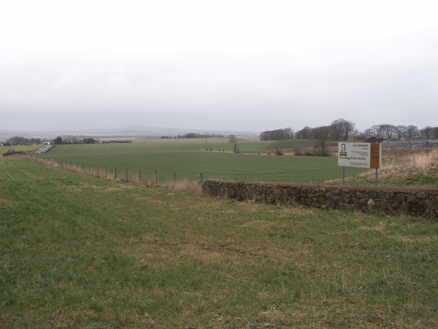
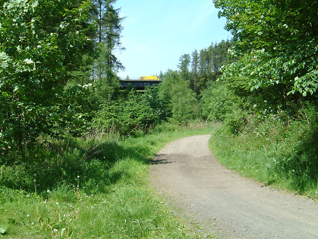
New Carden Plantation, located in Fife, Scotland, is a stunning wood and forest area that spans across a vast expanse of picturesque landscape. Nestled amidst the breathtaking countryside, this plantation offers a serene and tranquil environment for nature enthusiasts and visitors alike.

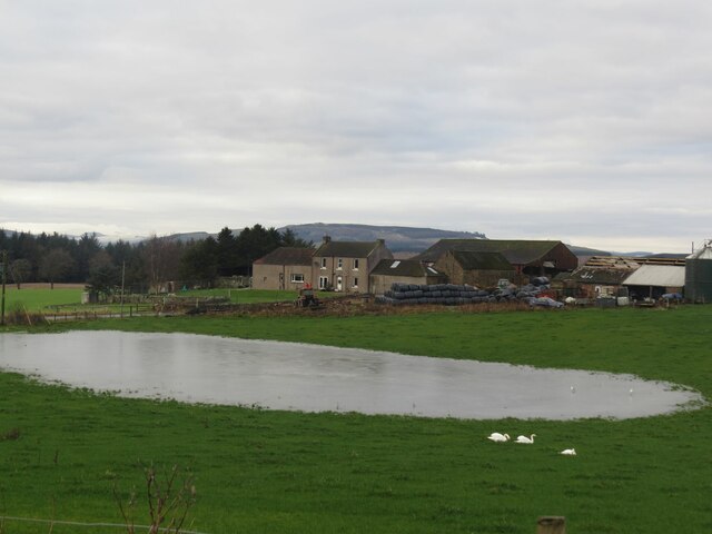
Covering an extensive area, New Carden Plantation is home to a diverse array of flora and fauna. The plantation boasts a rich variety of trees, including oak, birch, and pine, which create a dense and verdant forest canopy. The woodland floor is carpeted with vibrant wildflowers and ferns, adding to the beauty of the surroundings.

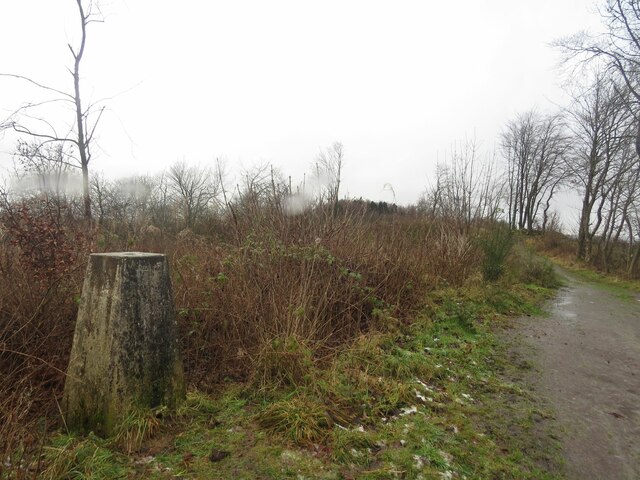
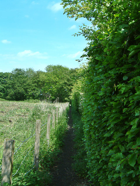
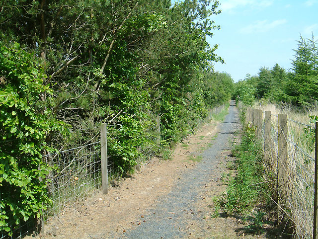
Visitors to New Carden Plantation can explore the numerous walking trails that wind their way through the woods, immersing themselves in the natural splendor. The trails offer a chance to observe and appreciate the abundant wildlife that inhabits the area. Deer, squirrels, and various bird species can often be spotted, making it a haven for wildlife enthusiasts and photographers.

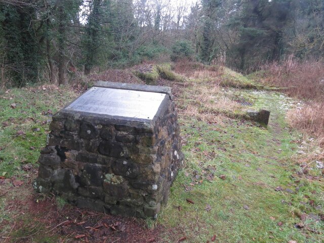
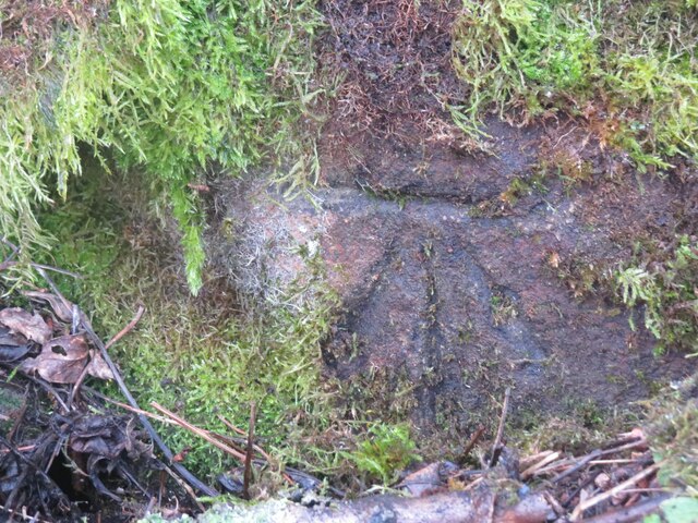
In addition to its natural beauty, New Carden Plantation also holds historical significance. The woodlands have witnessed centuries of human activity, with remnants of ancient settlements and structures scattered throughout. These historical features add a touch of intrigue and provide an opportunity for visitors to delve into the region's past.

Whether it be for a leisurely stroll, a picnic amidst nature, or a chance to connect with Scotland's heritage, New Carden Plantation offers a serene and unforgettable experience for all who venture into its enchanting woodlands.

If you have any feedback on the listing, please let us know in the comments section below.

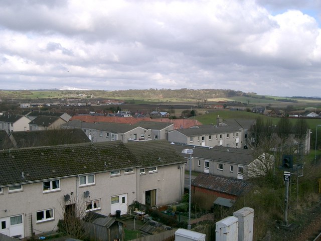
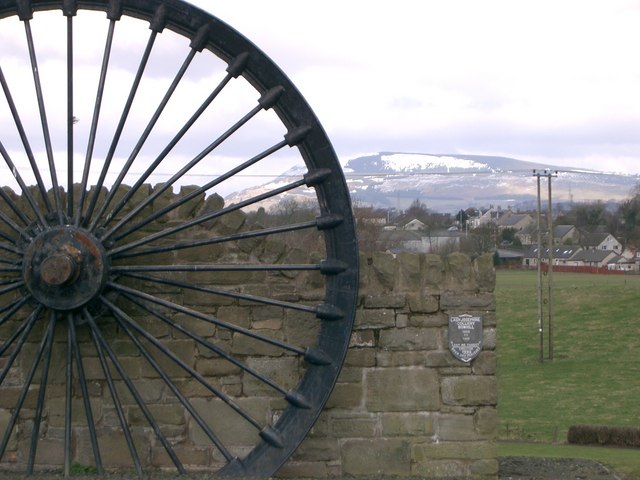
New Carden Plantation Images

Images are sourced within 2km of 56.138949/-3.241708 or Grid Reference NT2294. Thanks to Geograph Open Source API. All images are credited.

Remains of Carden Den Tower The tower was erected between 1432 and 1532 but has long since disappeared. For more information, see <span class="nowrap"><a title="https://canmore.org.uk/site/52960/carden-tower" rel="nofollow ugc noopener" href="https://canmore.org.uk/site/52960/carden-tower">Link</a><img style="margin-left:2px;" alt="External link" title="External link - shift click to open in new window" src="https://s1.geograph.org.uk/img/external.png" width="10" height="10"/></span>.
Remains of Carden Den Tower
The tower was erected between 1432 and 1532 but has long since disappeared. For more information, see LinkExternal link.
Trigpoint, Keir Brae
Rivet benchmark, Shawsmill Bridge Ordnance Survey rivet benchmark, described on database at <span class="nowrap"><a title="https://www.bench-marks.org.uk/bm147452" rel="nofollow ugc noopener" href="https://www.bench-marks.org.uk/bm147452">Link</a><img style="margin-left:2px;" alt="External link" title="External link - shift click to open in new window" src="https://s1.geograph.org.uk/img/external.png" width="10" height="10"/></span>. See also <a href="https://www.geograph.org.uk/photo/7007009">NT2293 : Shawsmill Bridge, near Cardenden</a>.
Rivet benchmark, Shawsmill Bridge
Ordnance Survey rivet benchmark, described on database at LinkExternal link. See also NT2293 : Shawsmill Bridge, near Cardenden.
Flooded field at Cardenbarns With three Mute Swans in the foreground.
Flooded field at Cardenbarns
With three Mute Swans in the foreground.
Shawsmill Bridge, near Cardenden There is an Ordnance Survey rivet benchmark on this bridge, which spans the Gelly Burn. See <a href="https://www.geograph.org.uk/photo/7005707">NT2293 : Rivet benchmark, Shawsmill Bridge</a>.
Shawsmill Bridge, near Cardenden
There is an Ordnance Survey rivet benchmark on this bridge, which spans the Gelly Burn. See NT2293 : Rivet benchmark, Shawsmill Bridge.
Benchmark, Sunnyside Plantation near Cardenden This Ordnance Survey benchmark took a lot of finding. It was hidden beneath moss and brambles on an old and crumbling wall away from the main path through the woods. It is described on the database at <span class="nowrap"><a title="https://www.bench-marks.org.uk/bm147454" rel="nofollow ugc noopener" href="https://www.bench-marks.org.uk/bm147454">Link</a><img style="margin-left:2px;" alt="External link" title="External link - shift click to open in new window" src="https://s1.geograph.org.uk/img/external.png" width="10" height="10"/></span>.
Benchmark, Sunnyside Plantation near Cardenden
This Ordnance Survey benchmark took a lot of finding. It was hidden beneath moss and brambles on an old and crumbling wall away from the main path through the woods. It is described on the database at LinkExternal link.
Cardenden Cardenden Railway Station car park and new houses.
Cardenden
Cardenden Railway Station car park and new houses.
The River Ore The River Ore where it flows through Bowhill.
The River Ore
The River Ore where it flows through Bowhill.
Auchterderran Parish Church St.Fothads Church of Scotland.
Auchterderran Parish Church
St.Fothads Church of Scotland.
Plaque Inscription on mining memorial.
Plaque
Inscription on mining memorial.
Barber's Shop Unusual site for a barber's shop on Station Road Cardenden.
Barber's Shop
Unusual site for a barber's shop on Station Road Cardenden.
Cardenden Housing in Cardenden.
Cardenden
Housing in Cardenden.
Dothan Farm Viewed from the north
Dothan Farm
Viewed from the north
Clunie roundabout Mini roundabout at Clunie road junction, viewed from the south
Clunie roundabout
Mini roundabout at Clunie road junction, viewed from the south
The Begg Farm OCCS Looking east from near Dothan Farm, The Begg Farm is not really a farm anymore but an open cast coal pit.  <span class="nowrap"><a title="http://www.ihbrown.com/CoalMining.aspx" rel="nofollow ugc noopener" href="http://www.ihbrown.com/CoalMining.aspx">Link</a><img style="margin-left:2px;" alt="External link" title="External link - shift click to open in new window" src="https://s1.geograph.org.uk/img/external.png" width="10" height="10"/></span>
The Begg Farm OCCS
Looking east from near Dothan Farm, The Begg Farm is not really a farm anymore but an open cast coal pit. LinkExternal link
Footpath to ??? I was puzzled by an obviously used and maintained footpath (the beech and hawthorn hedge is trimmed), that  according to the map came to a dead end where the A92 cut across it.  It starts from the minor road between Muirhead and Shawsmill.
Footpath to ???
I was puzzled by an obviously used and maintained footpath (the beech and hawthorn hedge is trimmed), that according to the map came to a dead end where the A92 cut across it. It starts from the minor road between Muirhead and Shawsmill.
New path Maps can only show what was on the ground at the time they were made.  This new section of footpath runs alongside the A92 and connects the path shown in <a href="https://www.geograph.org.uk/photo/184926">NT2193 : Footpath to ???</a> with the minor road going north to Cardenden.
New path
Maps can only show what was on the ground at the time they were made. This new section of footpath runs alongside the A92 and connects the path shown in NT2193 : Footpath to ??? with the minor road going north to Cardenden.
Carden Den A footpath leaves the minor road at Shawsmill to join this track which passes under the A92 and leads to the village of Cardenden. See <a href="https://www.geograph.org.uk/gridref/NT2194">NT2194</a>
Carden Den
A footpath leaves the minor road at Shawsmill to join this track which passes under the A92 and leads to the village of Cardenden. See NT2194
Show me another place!

New Carden Plantation is located at Grid Ref: NT2294 (Lat: 56.138949, Lng: -3.241708)

Unitary Authority: Fife

Police Authority: Fife

What 3 Words

///erupted.scribbled.hung. Near Cardenden, Fife

Related Wikis

Cardenden

Cardenden ( ) is a Scottish town located on the south bank of the River Ore in the parish of Auchterderran, Fife. It is approximately 4 miles (6.4 km)...

Cardenden railway station

Cardenden railway station is a railway station in Cardenden, Fife, Scotland. The station is managed by ScotRail and is on the Fife Circle Line, 27 miles...

Dundonald Bluebell F.C.

Dundonald Bluebell Football Club are a Scottish football club based in Cardenden, Fife. The team plays in the East of Scotland League Premier Division...

Auchterderran

Auchterderran () is a village in Fife, Scotland. It is sometimes thought as part of the larger village, Cardenden, although Cardenden is part of the parish...

Driftland

Driftland is a purpose-built race track for drifting inspired by the drift tracks of Japan at the Lochgelly Motorsport Complex, Fife, Scotland. The facility...

Kinglassie

Kinglassie (Scottish Gaelic: Cill Ghlaise) is a small village and parish in central Fife, Scotland. It is located two miles southwest of Glenrothes. It...

Raith, Fife

Raith (Scottish Gaelic: rĂ th, "fort" or "fortified residence"), as an area of Fife, once stretched from the lands of Little Raith (earlier Wester Raith...

Loch Gelly

Loch Gelly (Scottish Gaelic: Loch Gheallaidh) is a small loch in Fife, Scotland lying approximately 1.5 km to the south east of the town of Lochgelly which...

Nearby Amenities

Located within 500m of 56.138949,-3.241708
Direction: both
Surface: asphalt
Traffic Calming: table
Lat/Long: 56.1422224/-3.2425667
Direction: both
Surface: asphalt
Traffic Calming: table
Lat/Long: 56.1419622/-3.2435614
Direction: both
Surface: asphalt
Traffic Calming: table
Lat/Long: 56.1417278/-3.2452679
Direction: both
Surface: asphalt
Traffic Calming: cushion
Lat/Long: 56.140956/-3.2473633
Direction: both
Surface: asphalt
Traffic Calming: table
Lat/Long: 56.141179/-3.2423665
Bus Stop
Sunnyside Road
Bus: yes
Departures Board: timetable
Naptan AtcoCode: 6500K0876
Naptan Bearing: SW
Naptan CommonName: Sunnyside Road
Naptan Indicator: adj
Naptan Landmark: Sunnyside Road
Naptan NaptanCode: 34327483
Naptan Street: Cardenden Road
Public Transport: platform
Ref: 34327483
Shelter: yes
Stop Id: 34327483
Lat/Long: 56.1429533/-3.2432079
Bus Stop
Sunnyside Road
Bus: yes
Departures Board: timetable
Naptan AtcoCode: 6500K0877
Naptan Bearing: NE
Naptan CommonName: Sunnyside Road
Naptan Indicator: opp
Naptan Landmark: Sunnyside Road
Naptan NaptanCode: 34327485
Naptan Street: Cardenden Road
Public Transport: platform
Ref: 34327485
Shelter: yes
Stop Id: 34327485
Lat/Long: 56.1430726/-3.2432056
Abandoned mini golf course
Abandoned: yes
Lat/Long: 56.14177/-3.2416575
Direction: both
Surface: asphalt
Traffic Calming: cushion
Lat/Long: 56.1405722/-3.246263
Direction: both
Surface: asphalt
Traffic Calming: cushion
Lat/Long: 56.140442/-3.2453372
The data included in this document is from www.openstreetmap.org. The data is made available under ODbL.

Have you been to New Carden Plantation?

Leave your review of New Carden Plantation below (or comments, questions and feedback).