Beech Tree Plantation
Wood, Forest in Peeblesshire
Scotland
Beech Tree Plantation
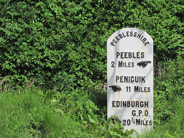
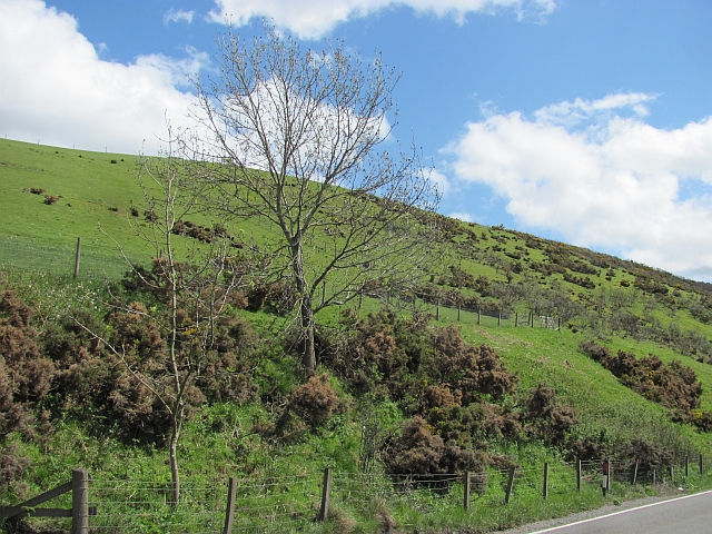
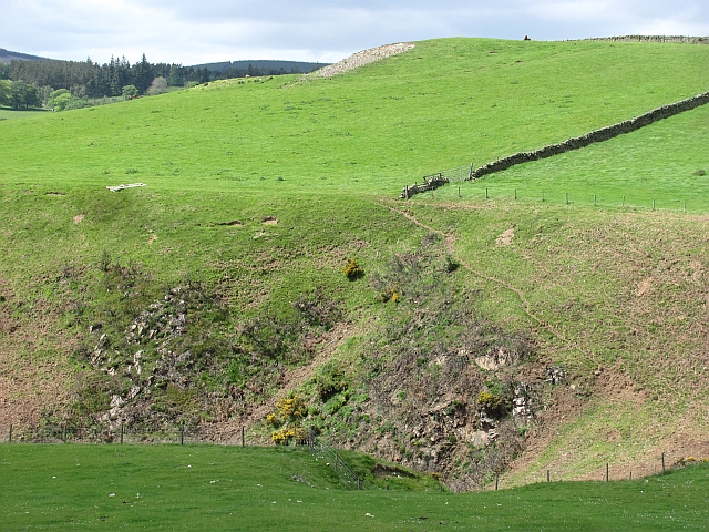
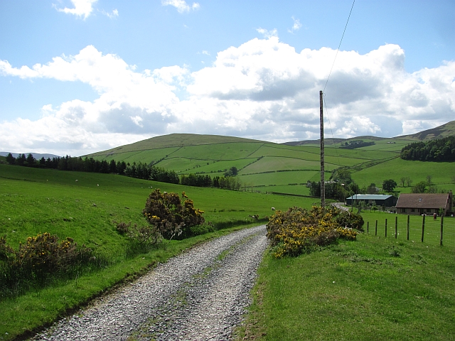
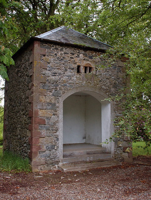
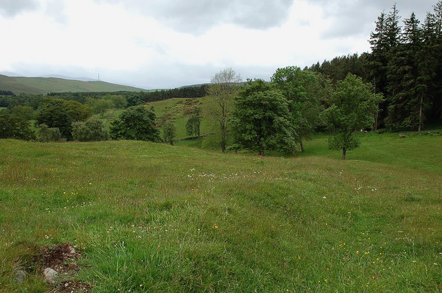
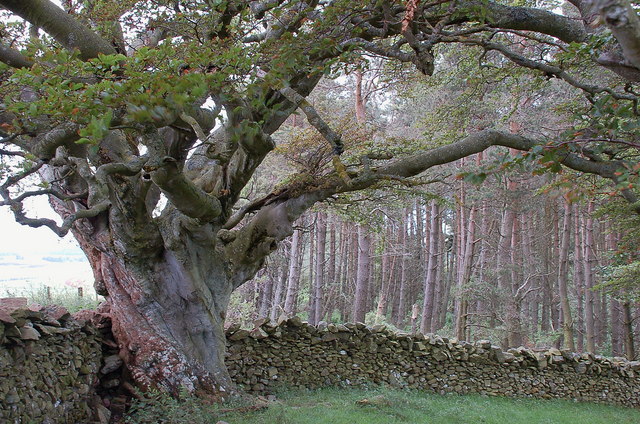
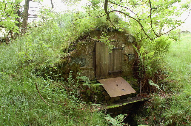
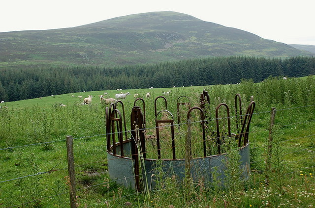
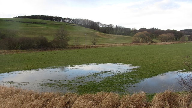
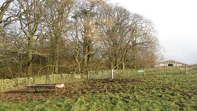
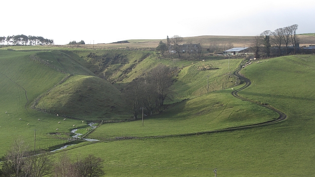
Beech Tree Plantation, located in Peeblesshire, is a picturesque wood and forest area renowned for its abundant beech trees. Situated in the southern region of Scotland, this plantation covers a vast area of land and offers a tranquil escape for nature enthusiasts and outdoor adventurers alike.
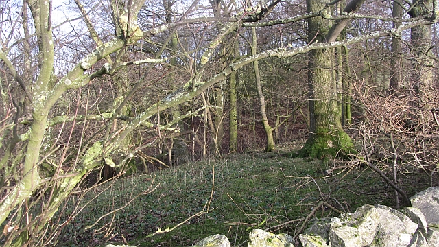
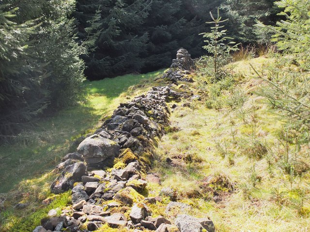
The plantation is characterized by its dense growth of beech trees, which dominate the landscape with their tall and majestic stature. These trees, known for their smooth silver-grey bark and vibrant green foliage, create a stunning visual spectacle throughout the year. In spring, the forest comes alive with a burst of fresh leaves, while in autumn, the beech trees transform into a kaleidoscope of fiery reds, oranges, and yellows, painting the landscape with a vibrant palette.
Beech Tree Plantation is home to a diverse range of wildlife, providing a habitat for various species of birds, mammals, and insects. The forest's dense canopy offers shelter and nesting sites for woodland birds such as woodpeckers, owls, and thrushes. Visitors may have the opportunity to spot squirrels, foxes, and deer as they wander through the woodland trails.
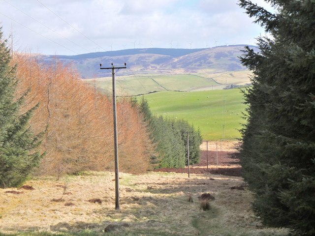
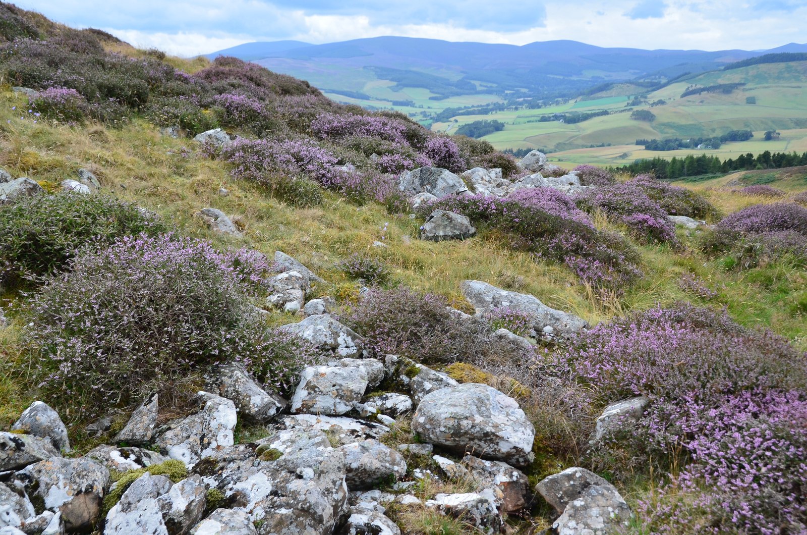
The plantation offers an extensive network of walking paths and trails, allowing visitors to explore the beauty of the forest at their own pace. Whether it's a leisurely stroll or a more challenging hike, there is something to suit every level of fitness and interest. These paths also provide access to breathtaking viewpoints, offering panoramic vistas of the surrounding countryside.
Beech Tree Plantation is not only a haven for nature lovers but also serves as an educational resource, with informative signboards and guided tours available to learn about the unique ecosystem and history of the area. Overall, Beech Tree Plantation is a captivating destination that showcases the beauty and biodiversity of Scotland's woodlands.
If you have any feedback on the listing, please let us know in the comments section below.
Beech Tree Plantation Images
Images are sourced within 2km of 55.687244/-3.2273826 or Grid Reference NT2244. Thanks to Geograph Open Source API. All images are credited.
Beech Tree Plantation is located at Grid Ref: NT2244 (Lat: 55.687244, Lng: -3.2273826)
Unitary Authority: The Scottish Borders
Police Authority: The Lothians and Scottish Borders
What 3 Words
///alongside.irrigated.spider. Near Peebles, Scottish Borders
Nearby Locations
Related Wikis
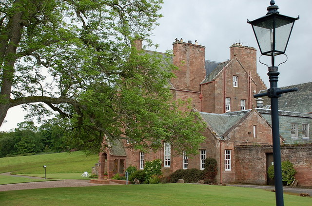
Cringletie
Cringletie is a Scottish Baronial house by the Eddleston Water, around 3 kilometres (1.9 mi) south of Eddleston in the Scottish Borders area of Scotland...

Redscarhead
Redscarhead is a village in the Scottish Borders area of Scotland, off the A703, by the Eddleston Water, and close to Cringletie. In the village is a memorial...

White Meldon
White Meldon is a prehistoric site, a hillfort near the village of Lyne and about 4 miles (6 km) west of Peebles, in the Scottish Borders, Scotland. It...

Milkieston Rings
Milkieston Rings is a prehistoric site, a hillfort near the village of Eddleston and about 3 miles (5 km) north of Peebles, in the Scottish Borders, Scotland...

Great Polish Map of Scotland
The Great Polish Map of Scotland is a large (50 m x 40 m) three-dimensional, outdoor concrete scale model of Scotland, located in the grounds of the Barony...

Eddleston railway station
Eddleston railway station served the village of Eddleston, Scottish Borders, Scotland from 1855 to 1962 on the Peebles Railway. == History == The station...

Black Barony
Barony Castle, also and formerly known as Black Barony, and Darnhall, is a historic house at Eddleston in the Scottish Borders area of Scotland. The house...
Black Meldon
Black Meldon is a prehistoric site, a hillfort near the village of Lyne and about 4 miles (6 km) west of Peebles, in the Scottish Borders, Scotland. It...
Nearby Amenities
Located within 500m of 55.687244,-3.2273826Have you been to Beech Tree Plantation?
Leave your review of Beech Tree Plantation below (or comments, questions and feedback).