Murie Wood

Wood, Forest in Perthshire

Scotland

Murie Wood

Glendoick Garden Centre A handy stop for a light meal as well as a garden centre with all the trimmings.
Glendoick Garden Centre Credit: Anne Burgess

Murie Wood is a picturesque forest located in Perthshire, Scotland. Situated near the small village of Murthly, the wood covers an area of approximately 100 hectares. It is characterized by its diverse range of native trees and rich wildlife, making it a popular destination for nature enthusiasts and hikers.

The wood is primarily made up of deciduous trees, including oak, birch, and hazel, which create a stunning display of colors during the autumn season. These trees provide a dense canopy that offers shade and shelter to a variety of woodland creatures, such as red squirrels, roe deer, and a plethora of bird species.

Several well-maintained walking trails wind their way through the wood, allowing visitors to explore its beauty at their own pace. These trails are suitable for all levels of fitness and offer opportunities to spot wildlife, observe flora and fauna, and enjoy the peaceful ambiance of the forest.

In addition to its natural beauty, Murie Wood is also known for its historical significance. The wood was once part of the Murthly Estate, owned by the Stewart family, and remnants of its past can still be seen today. Visitors can stumble upon old stone walls, ruined buildings, and even a small loch that was once used for fishing.

Overall, Murie Wood in Perthshire is a captivating blend of scenic beauty, biodiversity, and historical charm. Whether you are looking for a peaceful walk in nature, a chance to spot wildlife, or a glimpse into the past, this enchanting forest has something to offer for everyone.

If you have any feedback on the listing, please let us know in the comments section below.

Murie Wood Images

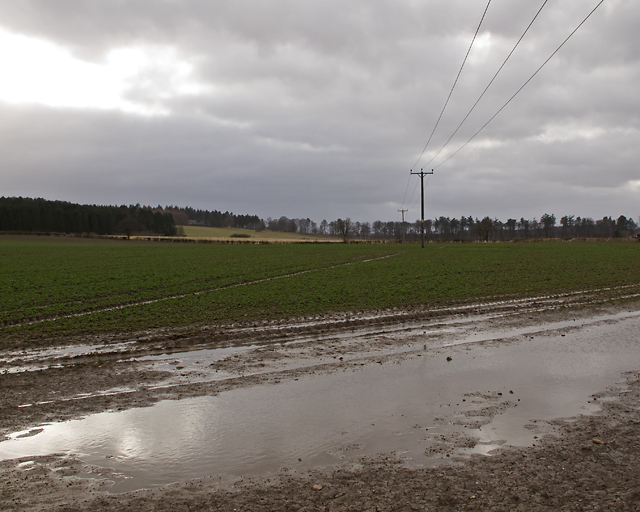
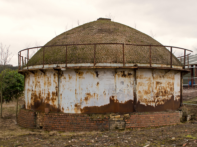
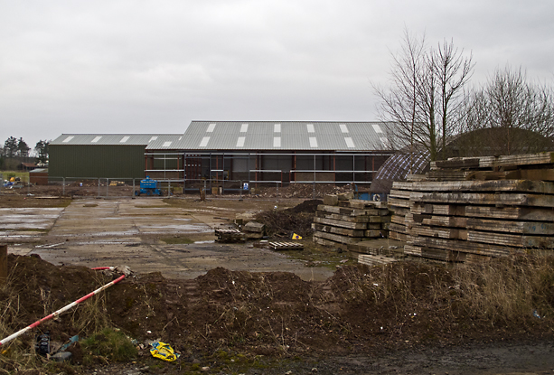
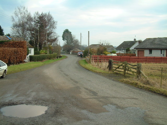
Images are sourced within 2km of 56.394322/-3.2508033 or Grid Reference NO2223. Thanks to Geograph Open Source API. All images are credited.

Glendoick Garden Centre A handy stop for a light meal as well as a garden centre with all the trimmings.
Glendoick Garden Centre
A handy stop for a light meal as well as a garden centre with all the trimmings.
Approaching the Glendoick exit on the A90 road Photographer is above the paved left travel lane.
Approaching the Glendoick exit on the A90 road
Photographer is above the paved left travel lane.
A90, Approaching the Glendoich Turn Off The A90 road is a major north to south highway in eastern Scotland, starting in Edinburgh and running for 146 miles up the majority of the east coast to end in Fraserburgh (although immediately north of the Forth it has been replaced by the similarly numbered M90).
A90, Approaching the Glendoich Turn Off
The A90 road is a major north to south highway in eastern Scotland, starting in Edinburgh and running for 146 miles up the majority of the east coast to end in Fraserburgh (although immediately north of the Forth it has been replaced by the similarly numbered M90).
Southbound A90, Glendoick Exit The A90 road is a major north to south highway in eastern Scotland, starting in Edinburgh and running for 146 miles up the majority of the east coast to end in Fraserburgh (although immediately north of the Forth it has been replaced by the similarly numbered M90).
Southbound A90, Glendoick Exit
The A90 road is a major north to south highway in eastern Scotland, starting in Edinburgh and running for 146 miles up the majority of the east coast to end in Fraserburgh (although immediately north of the Forth it has been replaced by the similarly numbered M90).
Junction for Pitroddie Off A90 near Myreside.
Junction for Pitroddie
Off A90 near Myreside.
A90 overpass at Glendoick
A90 approaching Glendoick sliproad
Approaching Pitroddie turning on the A90
Entering Pannoch Wood
Fields near the railway line Near Durdie
Fields near the railway line
Near Durdie
Fields near the railway line Near Glendoick
Fields near the railway line
Near Glendoick
Fields from the railway line Near Glendoick
Fields from the railway line
Near Glendoick
Fields near the railway line Near Glendoick
Fields near the railway line
Near Glendoick
Farmland near Inchcoonans Farmland near Inchcoonans, waterlogged in places after several days of wet weather.
Farmland near Inchcoonans
Farmland near Inchcoonans, waterlogged in places after several days of wet weather.
Beehive kiln, Inchcoonans One of two beehive kilns at the disused brickworks in Inchcoonans - now listed buildings(*). These were capable of firing up to 100,000 bricks simultaneously. A number of brickworks were situated in this area - an example of the relationship between geology and land use - local deposits of alluvial clay can be seen on the Geology of Britain viewer: <span class="nowrap"><a title="http://mapapps.bgs.ac.uk/geologyofbritain/home.html" rel="nofollow ugc noopener" href="http://mapapps.bgs.ac.uk/geologyofbritain/home.html">Link</a><img style="margin-left:2px;" alt="External link" title="External link - shift click to open in new window" src="https://s1.geograph.org.uk/img/external.png" width="10" height="10"/></span>

* Reference: British Listed Buildings; Inchcoonans Road, Errol Brick Company Brick Stacks and Kilns, Errol. <span class="nowrap"><a title="http://www.britishlistedbuildings.co.uk/sc-48180-inchcoonans-road-errol-brick-company-bric" rel="nofollow ugc noopener" href="http://www.britishlistedbuildings.co.uk/sc-48180-inchcoonans-road-errol-brick-company-bric">Link</a><img style="margin-left:2px;" alt="External link" title="External link - shift click to open in new window" src="https://s1.geograph.org.uk/img/external.png" width="10" height="10"/></span>
Beehive kiln, Inchcoonans
One of two beehive kilns at the disused brickworks in Inchcoonans - now listed buildings(*). These were capable of firing up to 100,000 bricks simultaneously. A number of brickworks were situated in this area - an example of the relationship between geology and land use - local deposits of alluvial clay can be seen on the Geology of Britain viewer: LinkExternal link * Reference: British Listed Buildings; Inchcoonans Road, Errol Brick Company Brick Stacks and Kilns, Errol. LinkExternal link
Inchcoonans brickworks site The former brickworks at Inchcoonans - with new building work in progress in March 2013.
Inchcoonans brickworks site
The former brickworks at Inchcoonans - with new building work in progress in March 2013.
Fields at North Murie, Carse of Gowrie Looking towards the farm at Nether Durdie.
Fields at North Murie, Carse of Gowrie
Looking towards the farm at Nether Durdie.
Sandyhall, Glendoick
Show me another place!

Murie Wood is located at Grid Ref: NO2223 (Lat: 56.394322, Lng: -3.2508033)

Unitary Authority: Perth and Kinross

Police Authority: Tayside

What 3 Words

///decoder.presuming.tilt. Near Errol, Perth & Kinross

Nearby Locations

Murie Wood

Related Wikis

Megginch Castle

Megginch Castle is a 15th-century castle in Perth and Kinross, in central Scotland. It was the family home of Cherry, 16th Baroness Strange. It is now...

Errol, Perth and Kinross

Errol is a village in Perth and Kinross, Scotland about halfway between Dundee and Perth. It is one of the principal settlements of the Carse of Gowrie...

Leetown, Perth and Kinross

Leetown is a small community located at the western end of the Carse of Gowrie along the eastern seaboard of Scotland. It lies between the A90 road and...

Kilspindie

Kilspindie is a village in Perth and Kinross, Scotland. It is situated on the Kilspindie burn, approximately 2+3⁄4 miles (4.5 kilometres) northwest of...

Nearby Amenities

Located within 500m of 56.394322,-3.2508033
Railway: level_crossing
Lat/Long: 56.39484/-3.2564097
Power: tower
Source: Bing
Lat/Long: 56.392983/-3.2570527
Power: tower
Source: Bing
Lat/Long: 56.3954596/-3.2527654
Power: tower
Source: Bing
Lat/Long: 56.3977187/-3.2488701
Power: tower
Lat/Long: 56.3958786/-3.2441098
Power: pole
Lat/Long: 56.3929815/-3.2474791
Power: pole
Lat/Long: 56.3923402/-3.2508523
Power: pole
Lat/Long: 56.3919958/-3.2525539
Power: pole
Lat/Long: 56.392645/-3.2491582
Power: pole
Lat/Long: 56.3932674/-3.2436127
Power: pole
Lat/Long: 56.3913239/-3.2458595
Power: pole
Lat/Long: 56.3935576/-3.2447377
Power: pole
Lat/Long: 56.3931929/-3.2453224
Power: pole
Lat/Long: 56.3920395/-3.2460822
Power: pole
Lat/Long: 56.3943233/-3.2433606
Power: tower
Source: Bing
Lat/Long: 56.3904845/-3.2531328
Power: tower
Source: Bing
Lat/Long: 56.3923402/-3.2499989
Power: tower
Source: Bing
Lat/Long: 56.3941036/-3.2471035
Railway: level_crossing
Lat/Long: 56.3948091/-3.2563954
Power: pole
Lat/Long: 56.3939739/-3.2440746
Power: pole
Lat/Long: 56.3976967/-3.2543687
Location Transition: yes
Power: pole
Lat/Long: 56.3974088/-3.2507777
Power: pole
Lat/Long: 56.3974956/-3.2520086
Power: pole
Lat/Long: 56.3975941/-3.2531781
Power: pole
Lat/Long: 56.3977875/-3.2555487
Power: pole
Lat/Long: 56.3947566/-3.2562987
Power: pole
Lat/Long: 56.3951681/-3.2565296
Power: pole
Lat/Long: 56.395779/-3.2569597
Power: pole
Lat/Long: 56.3964427/-3.2571504
Power: pole
Lat/Long: 56.3968495/-3.2573283
Location Transition: yes
Power: pole
Lat/Long: 56.3982811/-3.2492157
The data included in this document is from www.openstreetmap.org. The data is made available under ODbL.

Have you been to Murie Wood?

Leave your review of Murie Wood below (or comments, questions and feedback).