Alves

Settlement in Morayshire

Scotland

Alves

Nature reclaims a disused railway line near North Alves Looking northward.
Nature reclaims a disused railway line near North Alves Credit: Peter Wood

Alves is a small village located in the Morayshire region of Scotland. Situated approximately 3 miles southeast of the town of Elgin, Alves is nestled amidst picturesque countryside and offers a peaceful and idyllic setting.

The village is home to a close-knit community, with a population of around 500 residents. Alves is known for its welcoming and friendly atmosphere, making it an ideal place for families and those seeking a quieter way of life. The tight-knit community often organizes events and activities throughout the year, fostering a strong sense of community spirit.

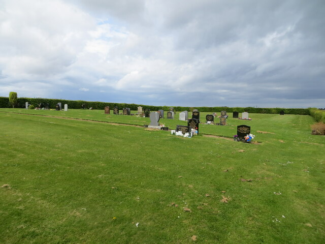
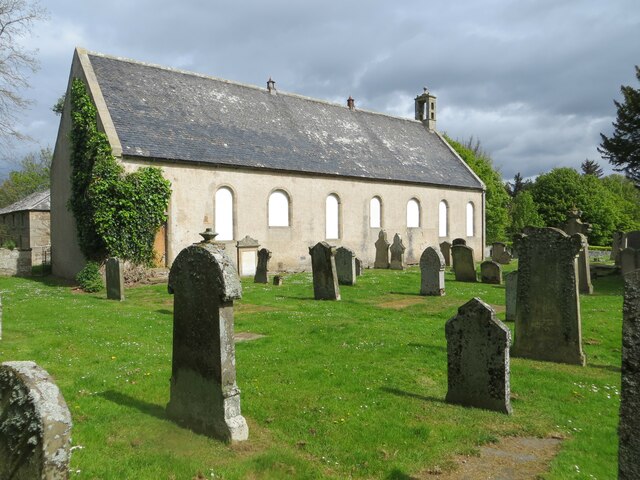
One of the notable landmarks in Alves is the Alves Parish Church, a historic building that dates back to the 18th century. The church serves as a focal point for the community and holds regular services, as well as hosting various community events.

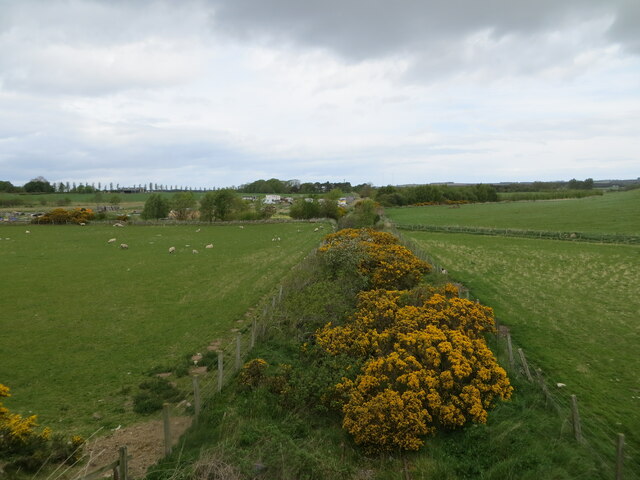
The surrounding countryside offers plenty of opportunities for outdoor activities, with numerous walking and cycling routes available. The village is also in close proximity to the Moray Coast, providing residents and visitors with stunning coastal views and the chance to explore beautiful sandy beaches.

For amenities, Alves has a primary school, ensuring local children have easy access to education. Additionally, the nearby town of Elgin offers a wider range of facilities, including shops, supermarkets, healthcare services, and entertainment options.

Overall, Alves offers a tranquil and friendly environment, making it an appealing place to live or visit for those seeking a peaceful Scottish village experience.

If you have any feedback on the listing, please let us know in the comments section below.
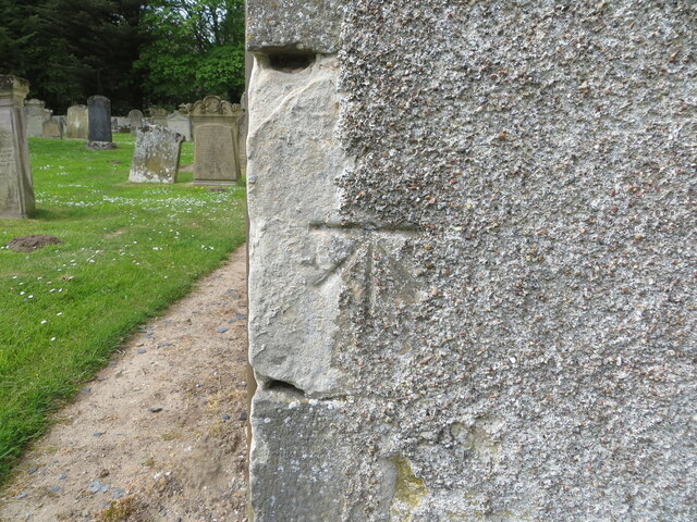
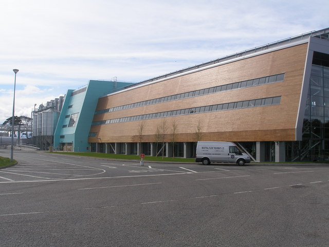
Alves Images

Images are sourced within 2km of 57.640852/-3.454895 or Grid Reference NJ1362. Thanks to Geograph Open Source API. All images are credited.

Nature reclaims a disused railway line near North Alves Looking northward.
Nature reclaims a disused railway line near North Alves
Looking northward.
Alves New Cemetery near to Kirton Looking north-westward.
Alves New Cemetery near to Kirton
Looking north-westward.
Former church building (Alves Old Parish Church) and part of the burial ground Viewed from the southwest. The building currently has a 'For Sale' notice attached to it.
Former church building (Alves Old Parish Church) and part of the burial ground
Viewed from the southwest. The building currently has a 'For Sale' notice attached to it.
Track between fields  near Cloves Looking north-eastward in the direction of what the map describes has 'heap disused'. I can confirm that the heap is alive and well!
Track between fields near Cloves
Looking north-eastward in the direction of what the map describes has 'heap disused'. I can confirm that the heap is alive and well!
Enclosed pathway on Carden Hill Looking south-eastward. This former road once gave vehicle access to the A96.
Enclosed pathway on Carden Hill
Looking south-eastward. This former road once gave vehicle access to the A96.
Minor road descending Carden Hill Looking south-eastward.
Minor road descending Carden Hill
Looking south-eastward.
Ordnance Survey Cut Mark This mark can be found on the parapet wall of a former railway bridge at North Alves.
The recorded details give a height of 17.1235 metres above sea level.
For more detail see : <span class="nowrap"><a title="https://www.bench-marks.org.uk/bm171409" rel="nofollow ugc noopener" href="https://www.bench-marks.org.uk/bm171409">Link</a><img style="margin-left:2px;" alt="External link" title="External link - shift click to open in new window" src="https://s1.geograph.org.uk/img/external.png" width="10" height="10"/></span>
Ordnance Survey Cut Mark
This mark can be found on the parapet wall of a former railway bridge at North Alves. The recorded details give a height of 17.1235 metres above sea level. For more detail see : LinkExternal link
Ordnance Survey Cut Mark with Bolt This mark and bolt can be found on the wall of Alves Old Parish Church.
The recorded detail give a height of 28.6121 metres above sea level.
For more detail see : <span class="nowrap"><a title="https://www.bench-marks.org.uk/bm25615" rel="nofollow ugc noopener" href="https://www.bench-marks.org.uk/bm25615">Link</a><img style="margin-left:2px;" alt="External link" title="External link - shift click to open in new window" src="https://s1.geograph.org.uk/img/external.png" width="10" height="10"/></span>
Ordnance Survey Cut Mark with Bolt
This mark and bolt can be found on the wall of Alves Old Parish Church. The recorded detail give a height of 28.6121 metres above sea level. For more detail see : LinkExternal link
Alves Parish War Memorial Unveiled and dedicated on 8th May 1921. WM Reference: 8698.
Alves Parish War Memorial
Unveiled and dedicated on 8th May 1921. WM Reference: 8698.
Triangulation pillar, Carden Hill, Morayshire Flush bracket no S6935.
Triangulation pillar, Carden Hill, Morayshire
Flush bracket no S6935.
Postbox at Alves IV30 104. Royal Mail list this box as 'IV30 Alves Village'.
Postbox at Alves
IV30 104. Royal Mail list this box as 'IV30 Alves Village'.
Alves Parish Kirk The church hall adjoins.
Alves Parish Kirk
The church hall adjoins.
OS Benchmark, Alves On the church hall.
OS Benchmark, Alves
On the church hall.
Postbox at Alves IV30 109. Royal Mail list this box as 'Alves Main Street'.
Postbox at Alves
IV30 109. Royal Mail list this box as 'Alves Main Street'.
O.S Flush Bracket at Alves Flush Bracket G1007 on Alves Primary School.
O.S Flush Bracket at Alves
Flush Bracket G1007 on Alves Primary School.
Pleated Snowdrop (Galanthus plicatus) One of four species of Snowdrop that are found in the wild in Scotland, though all are introduced. The edges of the leaves of G plicatus are folded back along their length.
Pleated Snowdrop (Galanthus plicatus)
One of four species of Snowdrop that are found in the wild in Scotland, though all are introduced. The edges of the leaves of G plicatus are folded back along their length.
Yew (Taxus baccata) The slightly amorphous light brown structures are the flowers.
Yew (Taxus baccata)
The slightly amorphous light brown structures are the flowers.
Road towards Carden
Road towards Carden
Show me another place!

Alves is located at Grid Ref: NJ1362 (Lat: 57.640852, Lng: -3.454895)

Unitary Authority: Moray

Police Authority: North East

What 3 Words

///smug.myths.subsystem. Near Kinloss, Moray

Nearby Locations

Alves

Related Wikis

Alves, Moray

Alves (Scottish Gaelic: An Àbhais or An Àbhas) is a small agricultural village in Moray, Scotland. == Geography == The A96 runs east to west across Alves...

Alves railway station

Alves was a railway station located near Elgin, in the Scottish administrative area of Moray. The station was the junction where the line to Burghead...

Earnside Castle

Earnside Castle was a 15th-century castle, about 6 miles (10 km) north-east of Forres, Moray, Scotland, and north of Alves Wood. It may be known as Ernside...

Knock of Alves

The Knock of Alves is a small wooded hill that lies 3 miles (4.8 km) to the west of Elgin in Moray, Scotland, rising to 335 feet (102 m) above ordnance...

Roseisle distillery

Roseisle distillery is a Speyside single malt Scotch whisky distillery, in Roseisle, near Elgin, Morayshire, in the Strathspey region of Scotland. ��2...

Asliesk Castle

Asliesk Castle is a ruined 16th-century castle about 7 miles (11 km) west of Elgin, Moray, Scotland, near Alves and Monoughty Woods at Asliesk. == History... ==

Hempriggs Castle

Hempriggs Castle was a 15th-century castle, about 5.0 miles (8 km) north-east of Forres, Moray, Scotland, and about 3.5 miles (6 km) south of Burghead...

Mosstowie railway station

Mosstowie railway station served the hamlet of Miltonduff, Moray, Scotland from 1858 to 1955 on the Inverness and Aberdeen Junction Railway. == History... ==

Nearby Amenities

Located within 500m of 57.640852,-3.454895
Alves
Name Gd: Àbhais
Name Sco: Auvis
Place: village
Wikidata: Q4737997
Wikipedia: en:Alves
Lat/Long: 57.6415826/-3.4513228
Alves War Memorial
Wikidata: Q114167987
Lat/Long: 57.6410837/-3.4524833
Telephone
Booth: KX100
Covered: booth
Man Made: telephone_box
Source: survey
Lat/Long: 57.6417595/-3.4504196
Alves War Memorial
Historic: memorial
Memorial: war_memorial
Lat/Long: 57.6409233/-3.4532838
Bus Stop
Burghead Road
Bench: yes
Bus: yes
Naptan AtcoCode: 638051112
Naptan Bearing: W
Naptan CommonName: Burghead Road
Naptan Indicator: opp
Naptan NaptanCode: 67923657
Naptan Street: Main Road
Naptan Verified: no
Public Transport: platform
Shelter: yes
Lat/Long: 57.6410899/-3.4521532
Design: barrel
Material: steel
Power: tower
Structure: lattice
Triple Tower: yes
Lat/Long: 57.6374182/-3.4554027
Design: barrel
Material: steel
Power: tower
Structure: lattice
Triple Tower: yes
Lat/Long: 57.639205/-3.4521908
Design: barrel
Material: steel
Power: tower
Structure: lattice
Triple Tower: yes
Lat/Long: 57.6409764/-3.4489386
Power: pole
Lat/Long: 57.6437327/-3.4597694
Power: pole
Lat/Long: 57.6434054/-3.4586589
Power: pole
Lat/Long: 57.6430063/-3.4572977
Power: pole
Lat/Long: 57.6432159/-3.4546973
Power: pole
Lat/Long: 57.6427027/-3.4562396
Power: pole
Lat/Long: 57.6420589/-3.4620613
Power: pole
Lat/Long: 57.6416742/-3.4613827
Power: pole
Lat/Long: 57.6422197/-3.4578046
Power: pole
Lat/Long: 57.6417459/-3.4592101
Power: pole
Lat/Long: 57.6412607/-3.4607095
Power: pole
Lat/Long: 57.6408444/-3.4623295
Turning Circle
Lat/Long: 57.6402769/-3.4535934
Power: pole
Lat/Long: 57.6437198/-3.4532237
Power: pole
Lat/Long: 57.6442234/-3.4517566
Post Box
Collection Times: Mo-Fr 12:00; Sa 11:30
Operator: Royal Mail
Post Box Mounting: pier
Post Box Type: lamp
Ref: IV30 109
Royal Cypher: scottish_crown
Lat/Long: 57.6404504/-3.4549741
Post Box
Collection Times: Mo-Fr 12:00; Sa 11:30
Operator: Royal Mail
Post Box Mounting: stone_wall
Post Box Type: lamp
Ref: IV30 104
Royal Cypher: scottish_crown
Lat/Long: 57.6418913/-3.4510164
Bus Stop
Burghead Road
Bus: yes
Naptan AtcoCode: 638051111
Naptan Bearing: E
Naptan CommonName: Burghead Road
Naptan Indicator: at
Naptan NaptanCode: 67923656
Naptan Street: Main Road
Naptan Verified: no
Public Transport: platform
Lat/Long: 57.6418845/-3.4499777
The data included in this document is from www.openstreetmap.org. The data is made available under ODbL.

Have you been to Alves?

Leave your review of Alves below (or comments, questions and feedback).