Alverton

Settlement in Nottinghamshire Rushcliffe

England

Alverton

Saint Mary's Church, Kilvington.
Saint Mary's Church, Kilvington. Credit: Bob Danylec

Alverton is a small village located in the county of Nottinghamshire, England. Situated approximately 9 miles east of Nottingham city, it is nestled amidst the rolling countryside of the East Midlands. The village is part of the Rushcliffe borough and falls within the NG13 postcode area.

With a population of around 500 residents, Alverton embodies the charm and tranquility of a traditional English village. It boasts a tight-knit community where neighbors know each other by name, creating a friendly and welcoming atmosphere. The village features a mix of historic and modern architecture, with quaint cottages and newer housing developments blending together seamlessly.

Alverton offers a range of amenities to cater to its residents' needs. The village has a primary school, providing education for local children, while secondary schools can be found in nearby towns. A small convenience store caters to daily essentials, supplemented by a post office for additional services. Residents also have access to a village hall, which hosts various community events and gatherings.

The surrounding countryside provides ample opportunities for outdoor activities and exploration. Lush green fields, picturesque woodlands, and winding footpaths offer residents and visitors alike a chance to immerse themselves in nature. The village benefits from good transport links, with regular bus services connecting it to neighboring towns and the city of Nottingham.

In summary, Alverton is a delightful village in Nottinghamshire, offering a peaceful and close-knit community, convenient amenities, and access to the picturesque countryside.

If you have any feedback on the listing, please let us know in the comments section below.
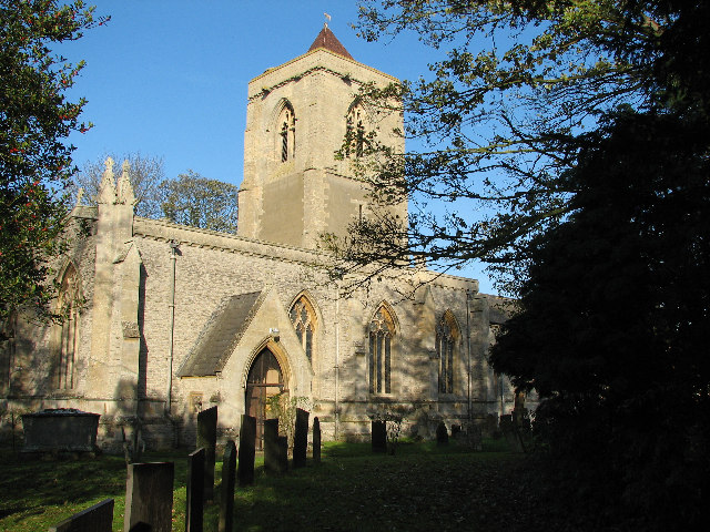
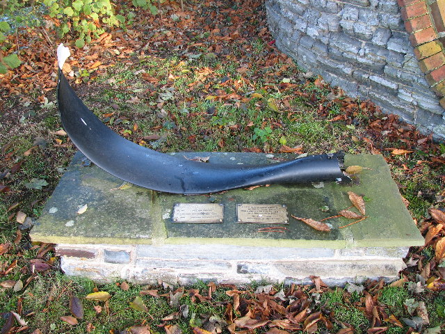
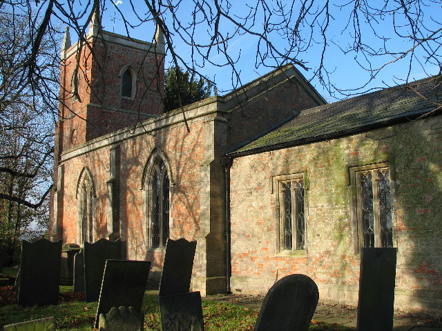
Alverton Images

Images are sourced within 2km of 52.972277/-0.81929994 or Grid Reference SK7942. Thanks to Geograph Open Source API. All images are credited.

Saint Mary's Church, Kilvington.
Saint Mary's, Staunton <span class="nowrap"><a title="http://www.nottshistory.org.uk/articles/staunton/staunton1900p2.htm" rel="nofollow ugc noopener" href="http://www.nottshistory.org.uk/articles/staunton/staunton1900p2.htm">Link</a><img style="margin-left:2px;" alt="External link" title="External link - shift click to open in new window" src="https://s1.geograph.org.uk/img/external.png" width="10" height="10"/></span>
Saint Mary's, Staunton
Lancaster Bomber Memorial, Staunton Churchyard Memorial to commemorate the lives of the crew of Lancaster bomber W4270
Lancaster Bomber Memorial, Staunton Churchyard
Memorial to commemorate the lives of the crew of Lancaster bomber W4270
Footpath F65 Bottesford to Kilvington Dedicated to Charles Smith once Footpath Warden to Bottesford Parish Council
Footpath F65 Bottesford to Kilvington
Dedicated to Charles Smith once Footpath Warden to Bottesford Parish Council
Staunton Arms Popular pub and restaurant in Staunton in the Vale
Staunton Arms
Popular pub and restaurant in Staunton in the Vale
St.Mary's church Much rebuilt by E.J.Willson in 1853 and in a delightful setting by the historic Staunton Hall
St.Mary's church
Much rebuilt by E.J.Willson in 1853 and in a delightful setting by the historic Staunton Hall
St.Mary's church South west view of St.Mary's church
St.Mary's church
South west view of St.Mary's church
St.Mary's nave The 1853 rebuilding by E.J.Willson retained the 14th century north arcade in St.Mary's church
St.Mary's nave
The 1853 rebuilding by E.J.Willson retained the 14th century north arcade in St.Mary's church
North arcade Fourteenth century north arcade in St.Mary's church
North arcade
Fourteenth century north arcade in St.Mary's church
St.Mary's font Circular, 12th century Norman bowl with intersecting arches on a later base
St.Mary's font
Circular, 12th century Norman bowl with intersecting arches on a later base
St.Mary's nave Looking west inside St.Mary's church
St.Mary's nave
Looking west inside St.Mary's church
An unknown knight Tomb of an unknown knight c1300 in St.Mary's church
An unknown knight
Tomb of an unknown knight c1300 in St.Mary's church
A 14th century knight Tomb of an unknown knight in St.Mary's church
A 14th century knight
Tomb of an unknown knight in St.Mary's church
Lancaster W4270 memorial Memorial for the aircrew who lost their lives when Lancaster bomber W4270 crashed near here on 18th February 1943.
(Further details are well documented in the gridsquare discussion for SK8043 <a title="https://www.geograph.org.uk/discuss/index.php?action=vthread&topic=1478)" href="https://www.geograph.org.uk/discuss/index.php?action=vthread&topic=1478)">Link</a>
Lancaster W4270 memorial
Memorial for the aircrew who lost their lives when Lancaster bomber W4270 crashed near here on 18th February 1943. (Further details are well documented in the gridsquare discussion for SK8043 Link
North doorway When E.J.Willson largely rebuilt St.Mary's church in 1853, this lovely 14th century doorway with ogee arch and ivy leaf capitals was retained
North doorway
When E.J.Willson largely rebuilt St.Mary's church in 1853, this lovely 14th century doorway with ogee arch and ivy leaf capitals was retained
Staunton in the Vale Low red brick building in Staunton Hall parkland
Staunton in the Vale
Low red brick building in Staunton Hall parkland
Staunton cattle Cattle in Staunton Hall parkland
Staunton cattle
Cattle in Staunton Hall parkland
Hall Drive Drive to Staunton Hall, looking towards the village
Hall Drive
Drive to Staunton Hall, looking towards the village
Show me another place!

Alverton is located at Grid Ref: SK7942 (Lat: 52.972277, Lng: -0.81929994)

Administrative County: Nottinghamshire

District: Rushcliffe

Police Authority: Nottinghamshire

What 3 Words

///tables.irrigate.tanks. Near Bottesford, Leicestershire

Related Wikis

Alverton

Alverton can also be a variant of Alverston or Alton.Alverton is an English hamlet in the Newark and Sherwood district of Nottinghamshire. It is joined...

Flawborough

Flawborough is a small hamlet and civil parish in the Rushcliffe borough of Nottinghamshire, England. == Geography == The settlement is situated 7 miles...

Kilvington

Kilvington is a hamlet and civil parish in Nottinghamshire, England, part of the Newark and Sherwood district. Dr Robert Thoroton in Antiquities of Nottinghamshire...

Staunton, Nottinghamshire

Staunton (also known as Staunton-in-the-Vale) is a small village and civil parish in the Newark and Sherwood district of Nottinghamshire, England. It takes...

Nearby Amenities

Located within 500m of 52.972277,-0.81929994
Alverton
Is In: Nottinghamshire
Place: hamlet
Lat/Long: 52.9718664/-0.8206465
Grange Farm
Place: farm
Source: Bing
Lat/Long: 52.9713983/-0.8204773
Sunnymede
Place: isolated_dwelling
Source: Bing
Lat/Long: 52.9743711/-0.8151746
Walnut Cottage
Place: isolated_dwelling
Source: Bing
Lat/Long: 52.9746004/-0.8140613
Information: guidepost
Tourism: information
Lat/Long: 52.9722487/-0.8192307
Advertising: board
Lat/Long: 52.9721948/-0.8193809
Art in a Box
Booth: K6
Covered: booth
Disused Amenity: telephone
Man Made: telephone_box
Tourism: gallery
Lat/Long: 52.9719062/-0.8199889
The data included in this document is from www.openstreetmap.org. The data is made available under ODbL.

Have you been to Alverton?

Leave your review of Alverton below (or comments, questions and feedback).