Alvescot

Settlement in Oxfordshire West Oxfordshire

England

Alvescot

Broadwell, St Peter & St Paul
Broadwell, St Peter & St Paul Credit: Dave Kelly

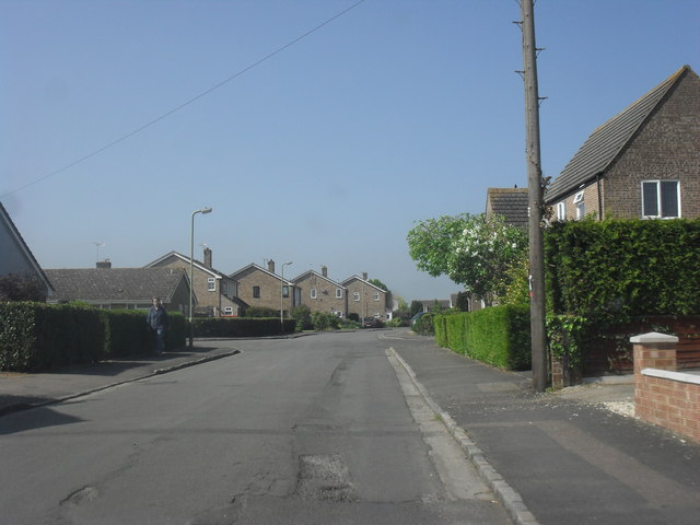
Alvescot is a quaint village located in the county of Oxfordshire, England. Situated approximately 15 miles southwest of the city of Oxford, it lies on the eastern edge of the picturesque Cotswolds. The village is characterized by its charming stone cottages, narrow winding streets, and a tranquil and idyllic atmosphere.

Alvescot is known for its rich history, with evidence of settlements dating back to Roman times. The village is mentioned in the Domesday Book of 1086, highlighting its significance in medieval England. Today, it retains much of its historical charm, with several well-preserved buildings and landmarks that showcase its past.

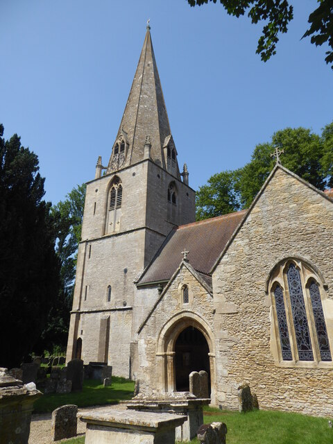
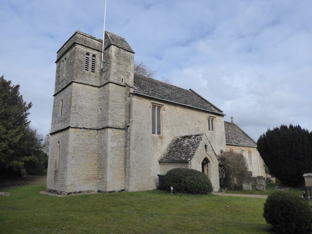
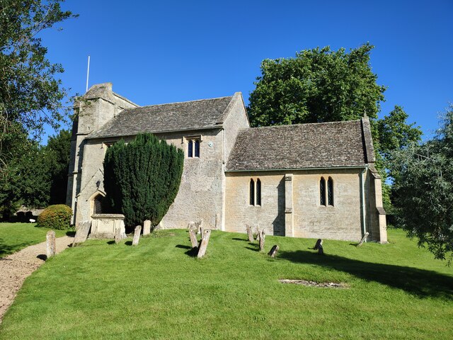
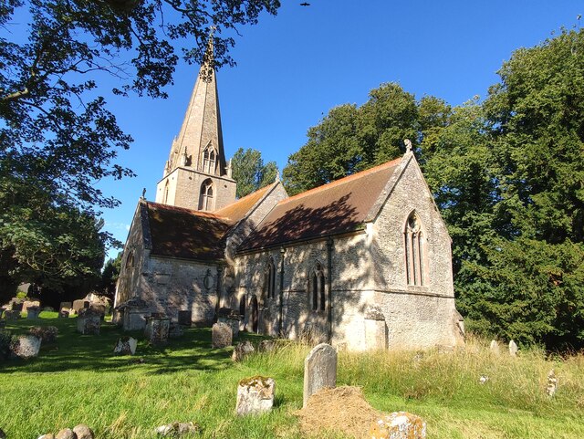
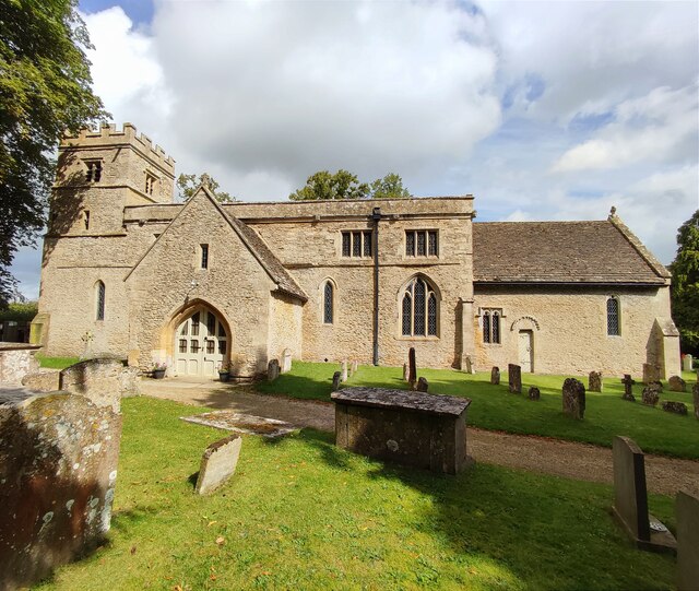
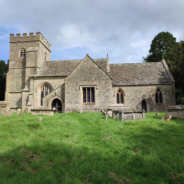
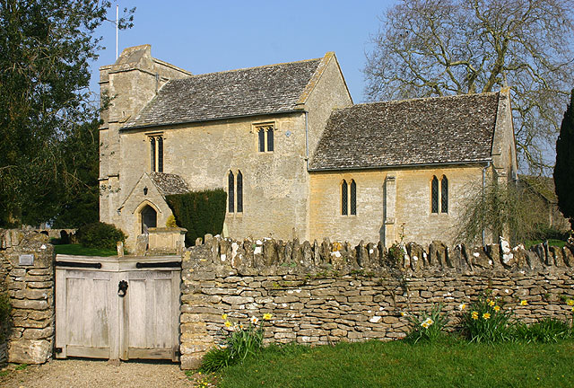
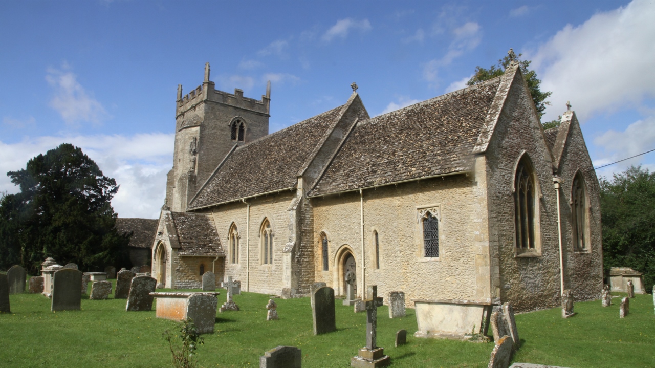
At the heart of Alvescot is the St Peter's Church, a Grade I listed building dating back to the 12th century. The church boasts impressive stained glass windows and intricate architectural details, attracting visitors interested in history and architecture. Additionally, Alvescot Manor, a beautiful manor house dating from the 16th century, adds to the village's charm.

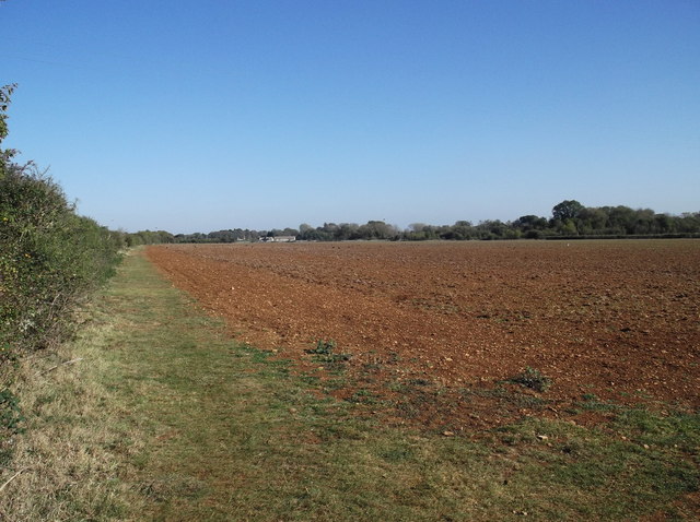
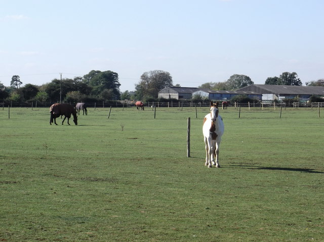
Surrounded by rolling countryside and farmland, Alvescot offers ample opportunities for outdoor activities and scenic walks. The village is also well-connected, with easy access to nearby towns and cities via the A40 road and regular bus services.

Although small in size, Alvescot boasts a close-knit community and a warm and welcoming atmosphere. It offers basic amenities such as a village hall and a local pub, serving as a gathering place for residents. Alvescot truly embodies the quintessential English village, making it a delightful destination for visitors seeking a peaceful and authentic rural experience.

If you have any feedback on the listing, please let us know in the comments section below.
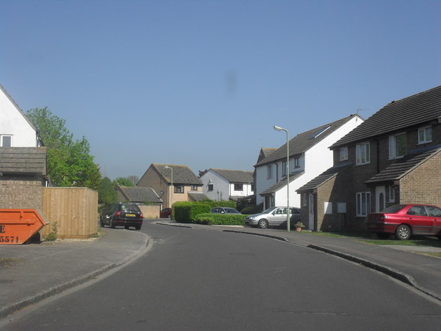
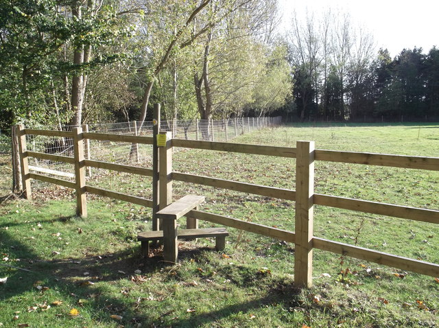
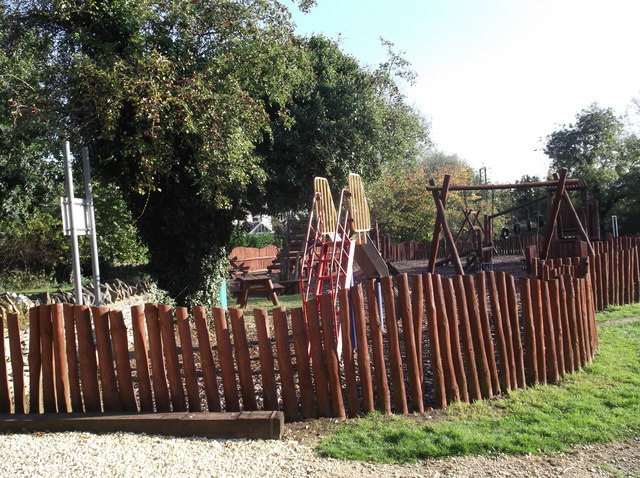
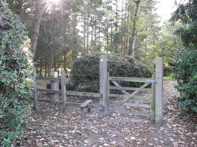
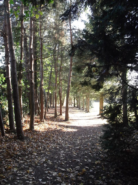
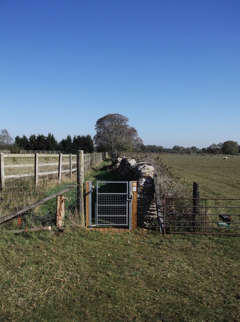
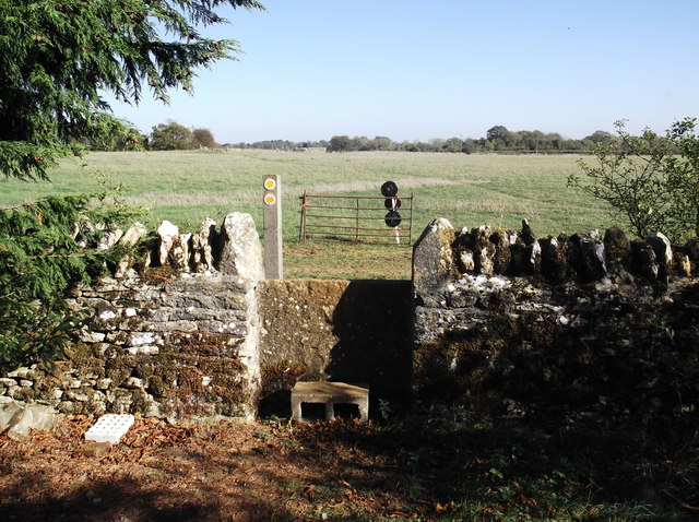
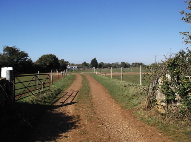
Alvescot Images

Images are sourced within 2km of 51.738652/-1.608122 or Grid Reference SP2704. Thanks to Geograph Open Source API. All images are credited.

Broadwell, St Peter & St Paul
Kencot, St George
Kencot, St George
RAF Brize Norton Gate One Looking from a garage forecourt at Gate One at RAF Brize Norton.
RAF Brize Norton Gate One
Looking from a garage forecourt at Gate One at RAF Brize Norton.
St George's Church, Kencot
St Peter and St Paul's Church, Broadwell
St Mary's Church, Black Bourton
St Peter's Church, Alvescot
Oakfield Road, Carterton
Foxcroft Drive, Carterton
Stile on the footpath Behind Alvescot village hall. The footpath splits a bit further ahead, one path going to Kencot, around a mile away, and the other to Langford, nearer 3 miles.
Stile on the footpath
Behind Alvescot village hall. The footpath splits a bit further ahead, one path going to Kencot, around a mile away, and the other to Langford, nearer 3 miles.
Children's playground in Alvescot
Gate and stile beside Alvescot village hall The start of the public footpath to Kencot and Langford.
Gate and stile beside Alvescot village hall
The start of the public footpath to Kencot and Langford.
Path through the trees The start of the footpath from Alvescot to Kencot and Langford.
Path through the trees
The start of the footpath from Alvescot to Kencot and Langford.
New gate on the footpath from Kencot to Alvescot Fairly recently erected gate replacing the old one shown in SP2504 : Footpath to Alvescot.
New gate on the footpath from Kencot to Alvescot
Fairly recently erected gate replacing the old one shown in SP2504 : Footpath to Alvescot.
Stile on the footpath from Kencot to Alvescot Choice of 3 footpaths over the stile, left into Kencot near the village institute, straight on to Alvescot, and right towards Calcroft Lane, and Langford.
Stile on the footpath from Kencot to Alvescot
Choice of 3 footpaths over the stile, left into Kencot near the village institute, straight on to Alvescot, and right towards Calcroft Lane, and Langford.
Track to Asthall Farm Photo taken from where the track crosses the Kencot to Alvescot footpath.
Track to Asthall Farm
Photo taken from where the track crosses the Kencot to Alvescot footpath.
Footpath to Alvescot From Kencot. The footpath runs along the grass strip at the left hand edge of the field.
Footpath to Alvescot
From Kencot. The footpath runs along the grass strip at the left hand edge of the field.
Fields with horses at Asthall Farm Asthall farm buildings can be seen in the background. Photo taken from the Kencot - Alvescot footpath.
Fields with horses at Asthall Farm
Asthall farm buildings can be seen in the background. Photo taken from the Kencot - Alvescot footpath.
Show me another place!

Alvescot is located at Grid Ref: SP2704 (Lat: 51.738652, Lng: -1.608122)

Administrative County: Oxfordshire

District: West Oxfordshire

Police Authority: Thames Valley

What 3 Words

///mavericks.labs.trusts. Near Carterton, Oxfordshire

Nearby Locations

Alvescot

Related Wikis

Kencot

Kencot is a village and civil parish about 2 miles (3 km) south-west of Carterton in West Oxfordshire. The 2011 Census recorded the parish's population...

Alvescot railway station

Alvescot railway station was a railway station between the Oxfordshire villages of Alvescot and Black Bourton, in England. It was Oxford, Witney and Fairford...

Alvescot

Alvescot is a village and civil parish about 1+1⁄2 miles (2.4 km) south of Carterton, Oxfordshire, England. The 2011 Census recorded the parish's population...

Black Bourton

Black Bourton is a village and civil parish about 2 miles (3 km) south of Carterton, Oxfordshire. The village is on Black Bourton Brook, a tributary of...

Carterton railway station (England)

Carterton railway station was a railway station just north of the village of Black Bourton on the Oxford, Witney and Fairford Railway between Oxford and...

RAF Brize Norton

Royal Air Force Brize Norton or RAF Brize Norton (IATA: BZZ, ICAO: EGVN) in Oxfordshire, about 75 mi (121 km) west north-west of London, is the largest...

Broadwell, Oxfordshire

Broadwell is a village and civil parish about 2 miles (3 km) south-west of Carterton in West Oxfordshire. The 2011 Census recorded the parish's population...

Clanfield, Oxfordshire

Clanfield is a village and civil parish about three miles (5 km) south of Carterton, Oxfordshire. The parish includes the hamlet of Little Clanfield one...

Nearby Amenities

Located within 500m of 51.738652,-1.608122
Alvescot
Place: village
Wikidata: Q3515310
Wikipedia: en:Alvescot
Lat/Long: 51.7385834/-1.6078407
Bus Stop
Memorial
Bus: yes
Naptan AtcoCode: 340000045MME
Naptan Bearing: NW
Naptan CommonName: Memorial
Naptan Indicator: Opposite
Naptan Landmark: Memorial
Naptan NaptanCode: oxfamdpw
Naptan Street: Station Road
Naptan Verified: no
Public Transport: platform
Source: naptan_import
Lat/Long: 51.7386687/-1.6082957
Bus Stop
Memorial
Bus: yes
Naptan AtcoCode: 340000045MMW
Naptan Bearing: SE
Naptan CommonName: Memorial
Naptan Indicator: Outside
Naptan Landmark: Memorial
Naptan NaptanCode: oxfamdjt
Naptan Street: Station Road
Naptan Verified: no
Public Transport: platform
Source: naptan_import
Lat/Long: 51.7388395/-1.6082798
Turning Circle
Source: Bing
Lat/Long: 51.7373143/-1.606841
Pub
The Plough
Lat/Long: 51.7392997/-1.6088788
Power: pole
Source: Bing
Lat/Long: 51.736786/-1.6120422
Power: pole
Source: Bing
Lat/Long: 51.7409408/-1.611852
Power: pole
Source: Bing
Lat/Long: 51.7402897/-1.6124625
Power: pole
Source: Bing
Lat/Long: 51.7396294/-1.6130795
Power: pole
Source: Bing
Lat/Long: 51.7376776/-1.6148818
Power: pole
Source: Bing
Lat/Long: 51.734457/-1.6101057
Power: pole
Source: Bing
Lat/Long: 51.7358891/-1.6110498
Power: pole
Source: Bing
Lat/Long: 51.7371029/-1.6128363
Power: pole
Source: Bing
Lat/Long: 51.7421906/-1.6106958
Power: pole
Source: Bing
Lat/Long: 51.7383267/-1.6142759
Power: pole
Source: Bing
Lat/Long: 51.7389938/-1.6136678
Power: pole
Source: Bing
Lat/Long: 51.7353839/-1.6108333
Power: pole
Source: Bing
Lat/Long: 51.7426341/-1.6101969
Power: pole
Source: Bing
Lat/Long: 51.7415346/-1.6113905
Power: pole
Source: Bing
Lat/Long: 51.7417057/-1.6111276
Power: pole
Lat/Long: 51.7348814/-1.6105708
Power: pole
Lat/Long: 51.736386/-1.6113724
Power: pole
Source: Bing
Lat/Long: 51.7345203/-1.6052859
The data included in this document is from www.openstreetmap.org. The data is made available under ODbL.

Have you been to Alvescot?

Leave your review of Alvescot below (or comments, questions and feedback).