Twiglees Plantation

Wood, Forest in Dumfriesshire

Scotland

Twiglees Plantation

The Black Esk The Black Esk near Eskdalemuir.
The Black Esk Credit: Colin Kinnear

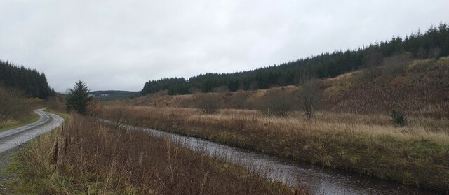
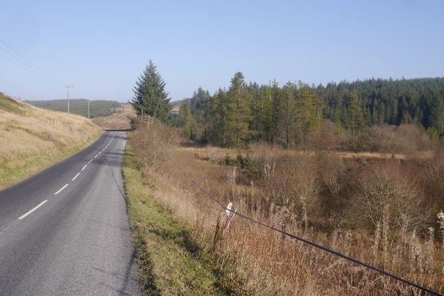
Twiglees Plantation is a picturesque woodland area located in Dumfriesshire, Scotland. Known for its natural beauty and abundant diversity of flora and fauna, the plantation covers a sprawling area of approximately 500 acres.

The woodland is primarily made up of native trees such as oak, beech, and birch, creating a stunning canopy that provides shade and shelter for a variety of wildlife. The plantation is particularly renowned for its vibrant autumnal colors when the leaves turn shades of red, orange, and yellow, attracting visitors from near and far.

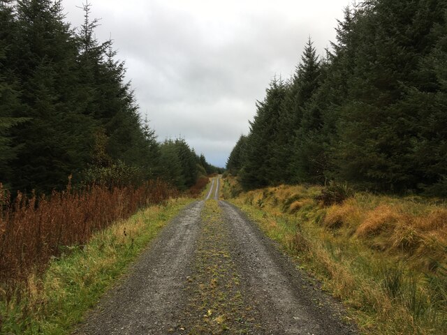
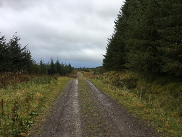
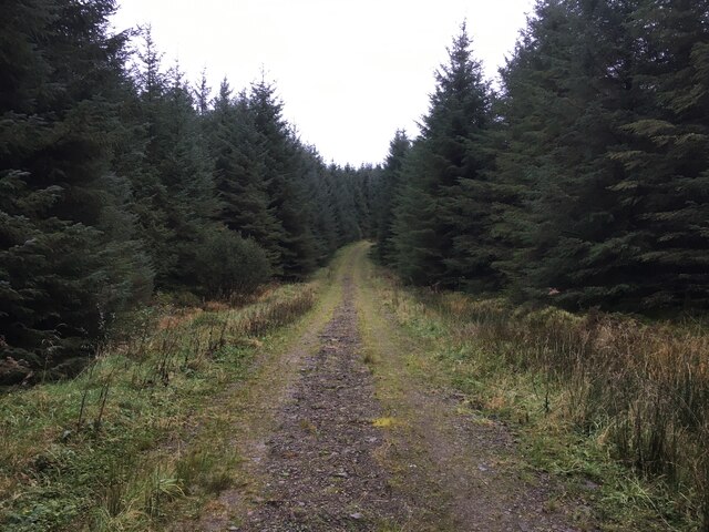
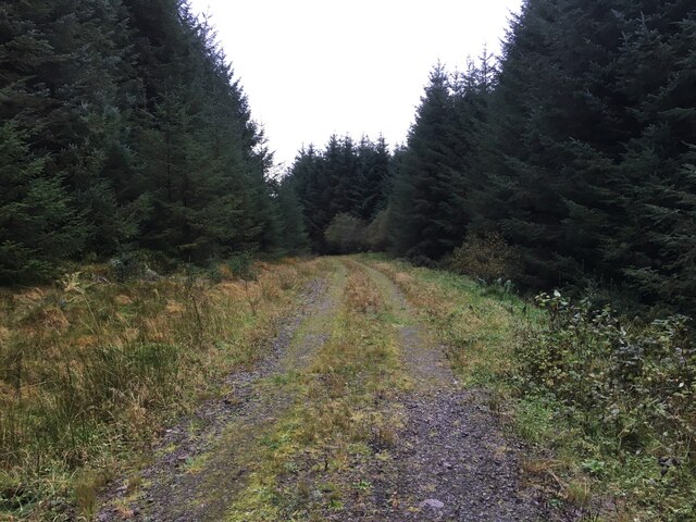
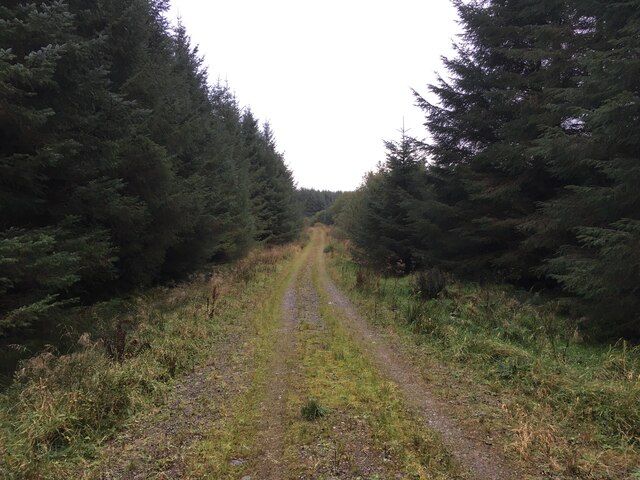
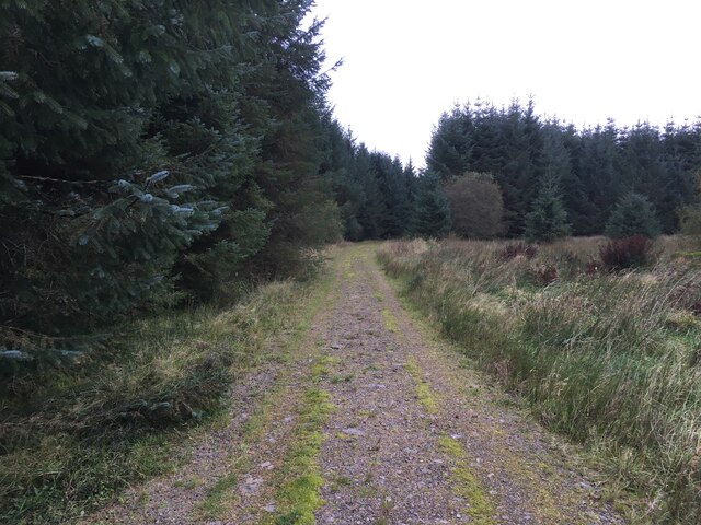
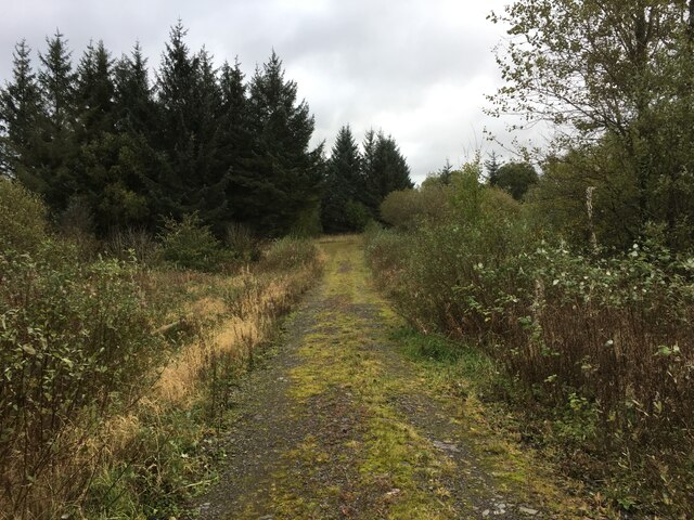
The plantation is crisscrossed with a network of well-maintained paths and trails, making it an ideal destination for nature lovers, hikers, and birdwatchers. As visitors explore the woodland, they may encounter a range of animal species including red squirrels, roe deer, and a plethora of bird species such as woodpeckers, owls, and jays.

Twiglees Plantation is also home to a diverse range of plant life, with an array of wildflowers, ferns, and mosses dotting the forest floor. The plantation is known for its conservation efforts, with ongoing initiatives to protect and enhance the biodiversity of the area.

For those seeking a tranquil escape from the hustle and bustle of everyday life, Twiglees Plantation offers a peaceful retreat immersed in nature's beauty. Its idyllic setting, coupled with its rich biodiversity, makes it a must-visit destination for nature enthusiasts and those looking to reconnect with the natural world.

If you have any feedback on the listing, please let us know in the comments section below.

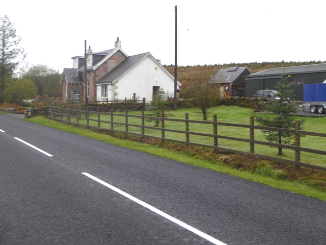
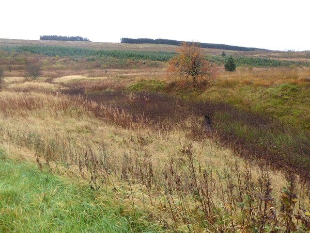
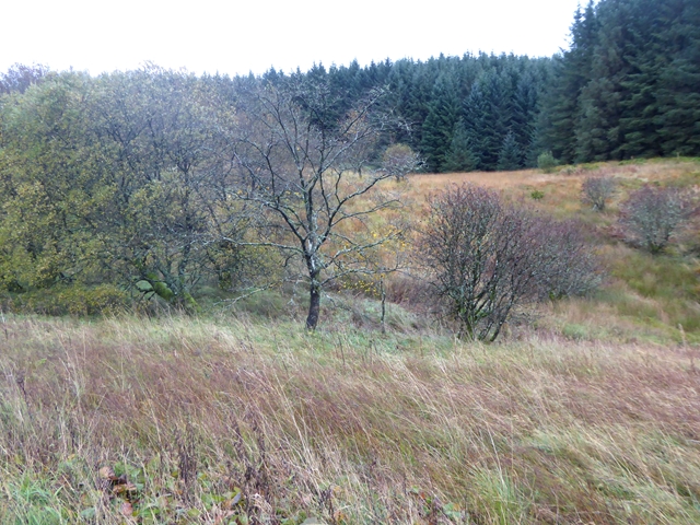
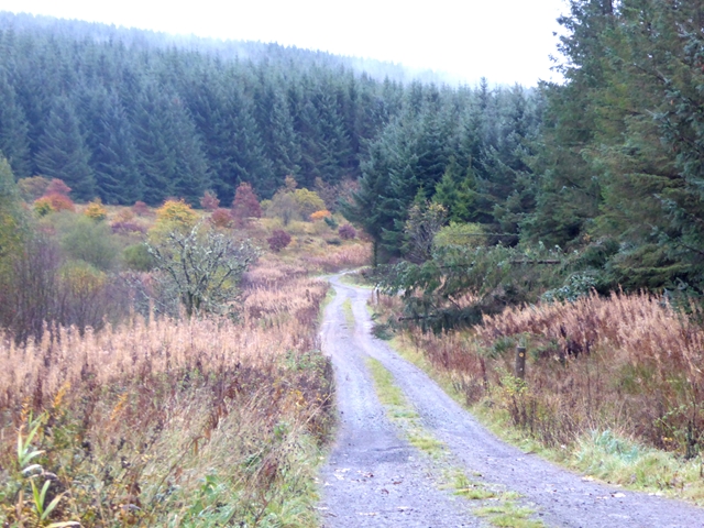
Twiglees Plantation Images

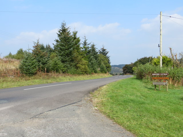
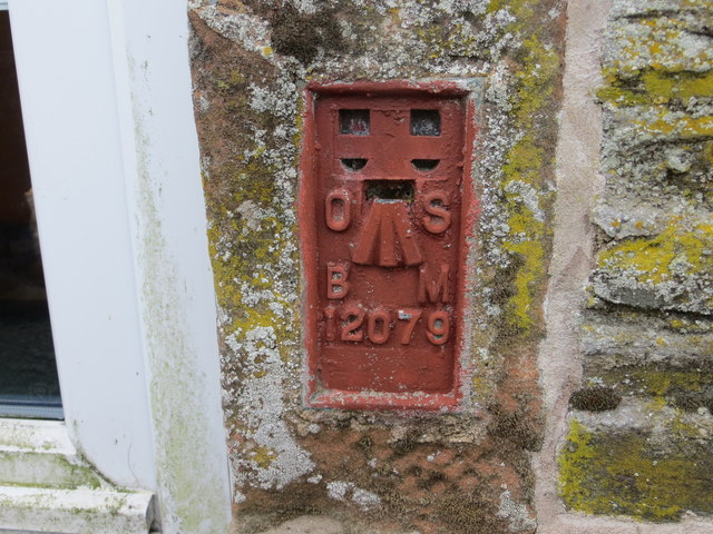
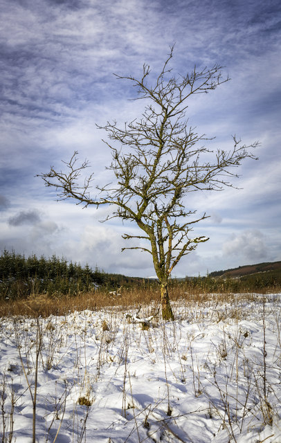
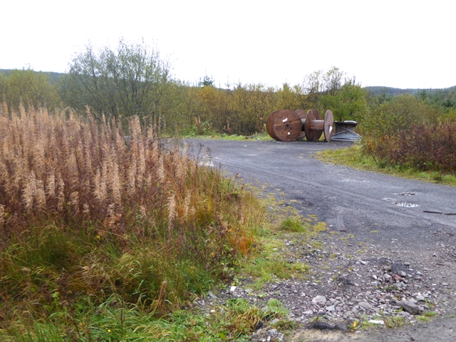
Images are sourced within 2km of 55.237492/-3.2203292 or Grid Reference NY2294. Thanks to Geograph Open Source API. All images are credited.

The Black Esk The Black Esk near Eskdalemuir.
The Black Esk
The Black Esk near Eskdalemuir.
Forestry road near Twiglees Burn
Forestry road in Twiglees Forest
Forestry road near Twiglees Moss
Road (B723) at Roadside Cottage Looking north-eastward.
Road (B723) at Roadside Cottage
Looking north-eastward.
Ordnance Survey Flush Bracket 12079 This can be found on the wall of Roadside Cottage - a private dwelling.
For more detail see : <span class="nowrap"><a title="http://www.bench-marks.org.uk/bm22747" rel="nofollow ugc noopener" href="http://www.bench-marks.org.uk/bm22747">Link</a><img style="margin-left:2px;" alt="External link" title="External link - shift click to open in new window" src="https://s1.geograph.org.uk/img/external.png" width="10" height="10"/></span>
Ordnance Survey Flush Bracket 12079
This can be found on the wall of Roadside Cottage - a private dwelling. For more detail see : LinkExternal link
Sundown Check it out on my Flickr page.

<span class="nowrap"><a title="www.flickr.com/photos/jetjohn/31570029533/in/dateposted-public/" rel="nofollow ugc noopener" href="http://www.flickr.com/photos/jetjohn/31570029533/in/dateposted-public/">Link</a><img style="margin-left:2px;" alt="External link" title="External link - shift click to open in new window" src="https://s1.geograph.org.uk/img/external.png" width="10" height="10"/></span>

Taken on the road to the Black Esk Reservoir.
Sundown
Check it out on my Flickr page. LinkExternal link Taken on the road to the Black Esk Reservoir.
Naked "Naked"
Check it out on my Flickr page.
<span class="nowrap"><a title="https://www.flickr.com/photos/jetjohn/32707375736/" rel="nofollow ugc noopener" href="https://www.flickr.com/photos/jetjohn/32707375736/">Link</a><img style="margin-left:2px;" alt="External link" title="External link - shift click to open in new window" src="https://s1.geograph.org.uk/img/external.png" width="10" height="10"/></span>
Naked
"Naked" Check it out on my Flickr page. LinkExternal link
Old cable drums near Sandyford
Marlside Cottage Lonely cottage beside the B723.
Marlside Cottage
Lonely cottage beside the B723.
Valley of the Twiglees Burn Twiglees Burn flows from left to right across the field of view. A small tributary in the foreground. Most of the forest here has been felled.
Valley of the Twiglees Burn
Twiglees Burn flows from left to right across the field of view. A small tributary in the foreground. Most of the forest here has been felled.
Forest below Hangingshaw Brae Some broadleaf trees occupy the marshy valley floor in the foreground.
Forest below Hangingshaw Brae
Some broadleaf trees occupy the marshy valley floor in the foreground.
Forest road leading down to the Black Burn
B723 passing Fauld Brae Eskdalemuir Forest.  A pole has come down, leaving the telephone wire close to the ground.
B723 passing Fauld Brae
Eskdalemuir Forest. A pole has come down, leaving the telephone wire close to the ground.
Show me another place!

Twiglees Plantation is located at Grid Ref: NY2294 (Lat: 55.237492, Lng: -3.2203292)

Unitary Authority: Dumfries and Galloway

Police Authority: Dumfries and Galloway

What 3 Words

///daydream.blazing.sour. Near Bentpath, Dumfries & Galloway

Nearby Locations

Twiglees Plantation

Related Wikis

Castle O'er Forest

Castle O'er Forest is a forest south of Eskdalemuir, Dumfries and Galloway, in southern Scotland.It is bisected by the River Esk. Eskdalemuir Forest adjoins...

Girdle Stanes

The Girdle Stanes (grid reference NY 25351 96153) is a stone circle near Eskdalemuir, Dumfries and Galloway. The western portion of the circle has been...

Loupin Stanes

The Loupin Stanes (grid reference NY25709663) is a stone circle near Eskdalemuir, Dumfries and Galloway. Oval in shape, it consists of twelve stones set...

Holm, Inverness

Holm is a small residential area in the south of the city of Inverness, Scotland. The area lies east of the River Ness. The most prominent structure in...

Nearby Amenities

Located within 500m of 55.237492,-3.2203292
Ford: yes
Lat/Long: 55.240333/-3.2213165
Turning Circle
Lat/Long: 55.2386224/-3.2175561
The data included in this document is from www.openstreetmap.org. The data is made available under ODbL.

Have you been to Twiglees Plantation?

Leave your review of Twiglees Plantation below (or comments, questions and feedback).