Tombae Wood
Wood, Forest in Banffshire
Scotland
Tombae Wood
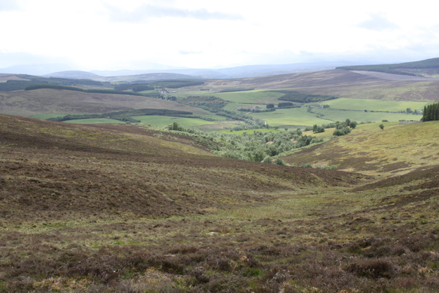
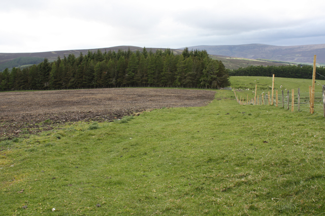
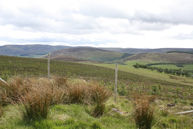
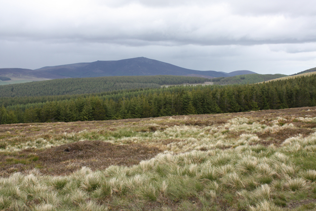
Tombae Wood, located in Banffshire, Scotland, is a picturesque forest spanning over an area of approximately 150 hectares. It is situated near the village of Tomintoul and falls within the Cairngorms National Park, one of the largest national parks in the United Kingdom. The wood is known for its diverse range of flora and fauna, making it a popular destination for nature enthusiasts and hikers.
Tombae Wood is predominantly composed of native broadleaf trees, including oak, birch, and rowan, which create a vibrant and colorful canopy during the autumn months. The forest floor is covered in a carpet of wildflowers, including bluebells and primroses, further enhancing the natural beauty of the area.
The wood is home to a rich variety of wildlife. Visitors may spot red squirrels, roe deer, and a plethora of bird species, such as woodpeckers, owls, and various songbirds. The presence of these animals contributes to the tranquil and serene ambiance of the wood.
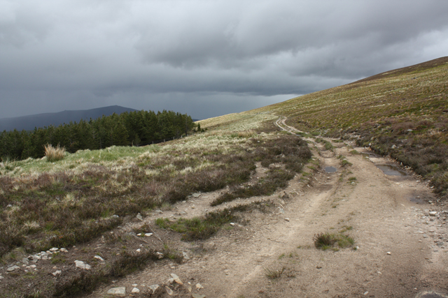
Several well-marked trails wind through Tombae Wood, providing visitors with the opportunity to explore its enchanting landscapes. These paths cater to different levels of difficulty, ensuring that everyone can enjoy the wood at their own pace. Additionally, there are picnic areas and benches scattered throughout the forest, allowing visitors to take a break and admire the breathtaking surroundings.
Overall, Tombae Wood offers a captivating and immersive experience for nature lovers, providing a tranquil escape from the bustling city life and a chance to connect with the natural world.
If you have any feedback on the listing, please let us know in the comments section below.
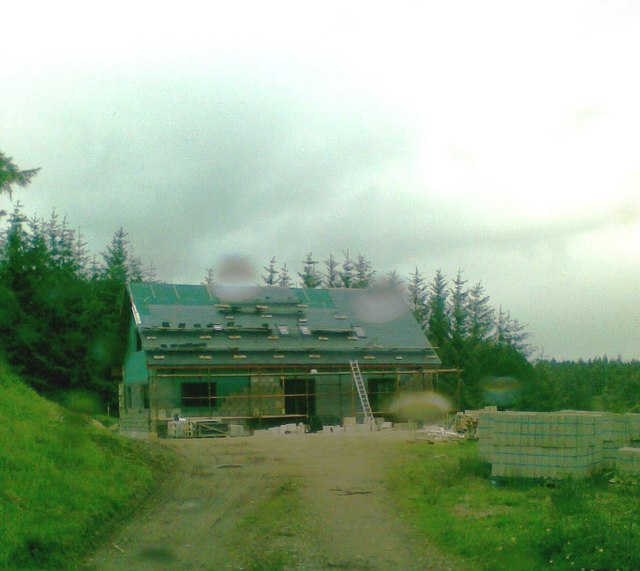
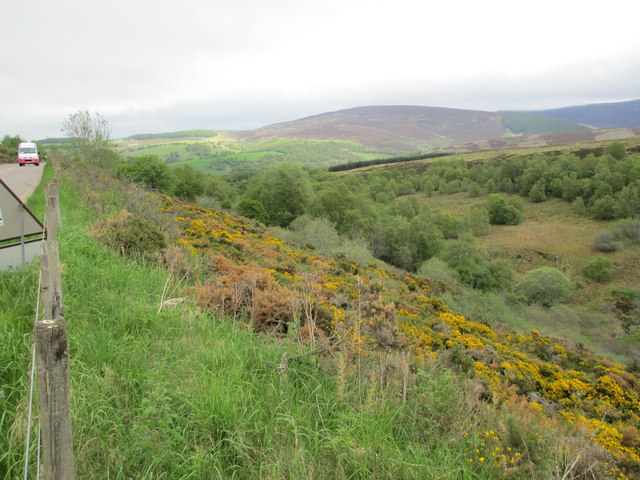
Tombae Wood Images
Images are sourced within 2km of 57.315041/-3.2881916 or Grid Reference NJ2225. Thanks to Geograph Open Source API. All images are credited.


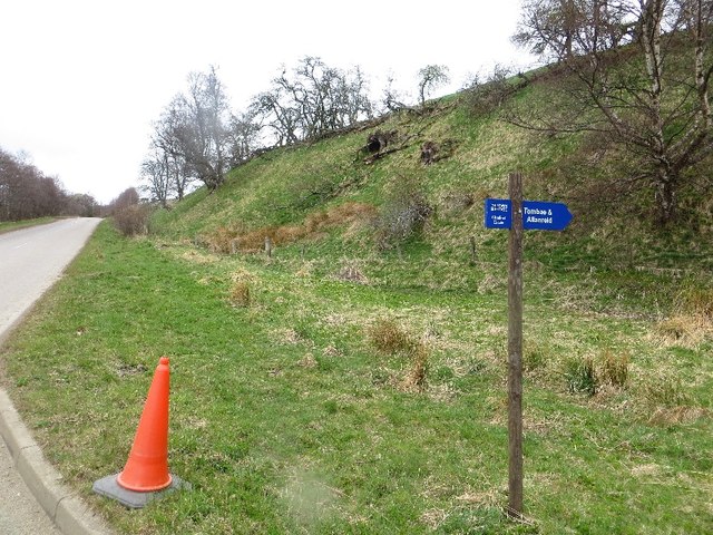
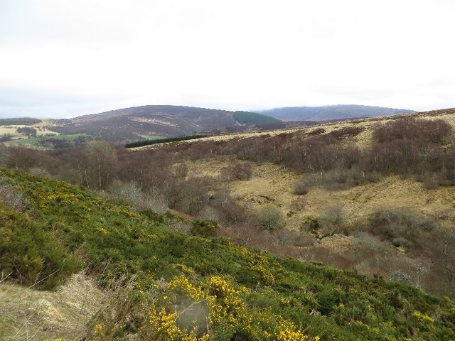
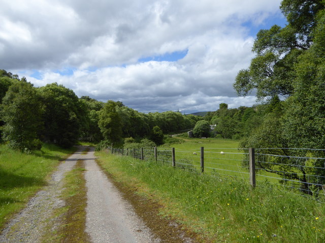
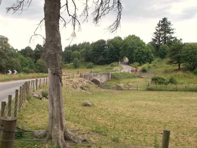
Tombae Wood is located at Grid Ref: NJ2225 (Lat: 57.315041, Lng: -3.2881916)
Unitary Authority: Moray
Police Authority: North East
What 3 Words
///hampers.stand.sway. Near Dufftown, Moray
Nearby Locations
Related Wikis

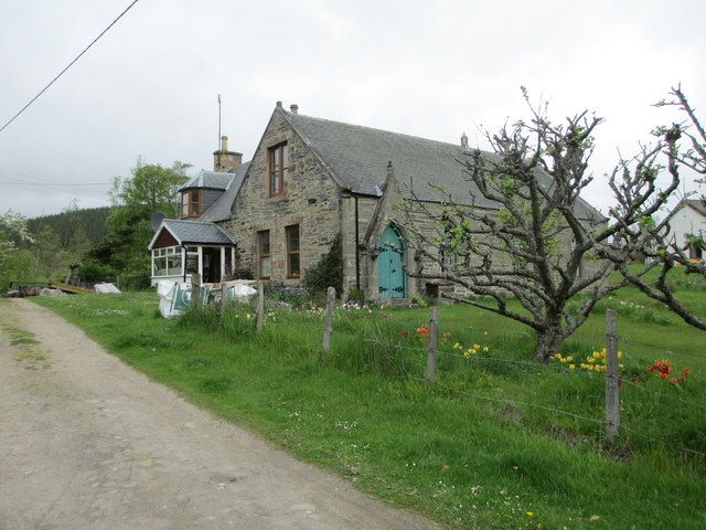
Church of The Incarnation, Tombae
The Church of The Incarnation was built between 1827 and 1829 as a Roman Catholic church, under the patronage of the Gordon family, in Banffshire, Scotland...

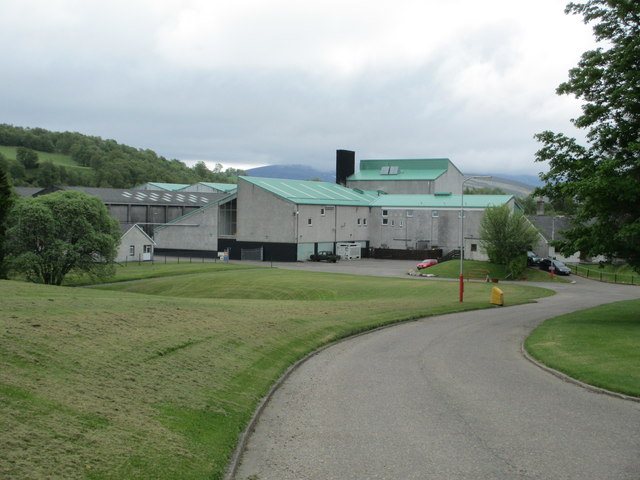
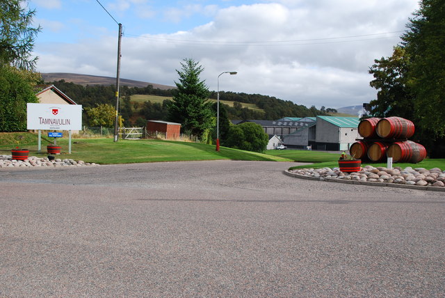
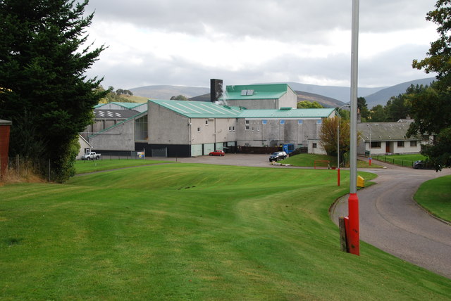
Tamnavulin distillery
Tamnavulin distillery is a producer of single malt Scotch whisky that was founded in 1966. The distillery is operated by Whyte & Mackay, which Philippines...

County of Moray
Moray; (Scottish Gaelic: Moireibh [ˈmɤɾʲəv]) or Morayshire, called Elginshire until 1919, is a historic county, registration county and lieutenancy area...

Auchnarrow
Auchnarrow (Scottish Gaelic: Achadh an Arbha) is a village in Moray, Scotland.
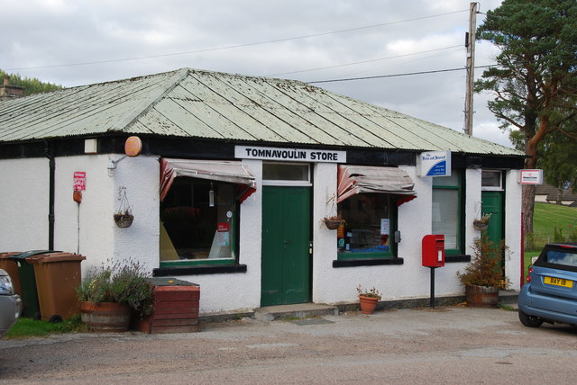
Nearby Amenities
Located within 500m of 57.315041,-3.2881916Have you been to Tombae Wood?
Leave your review of Tombae Wood below (or comments, questions and feedback).